Trail Overview
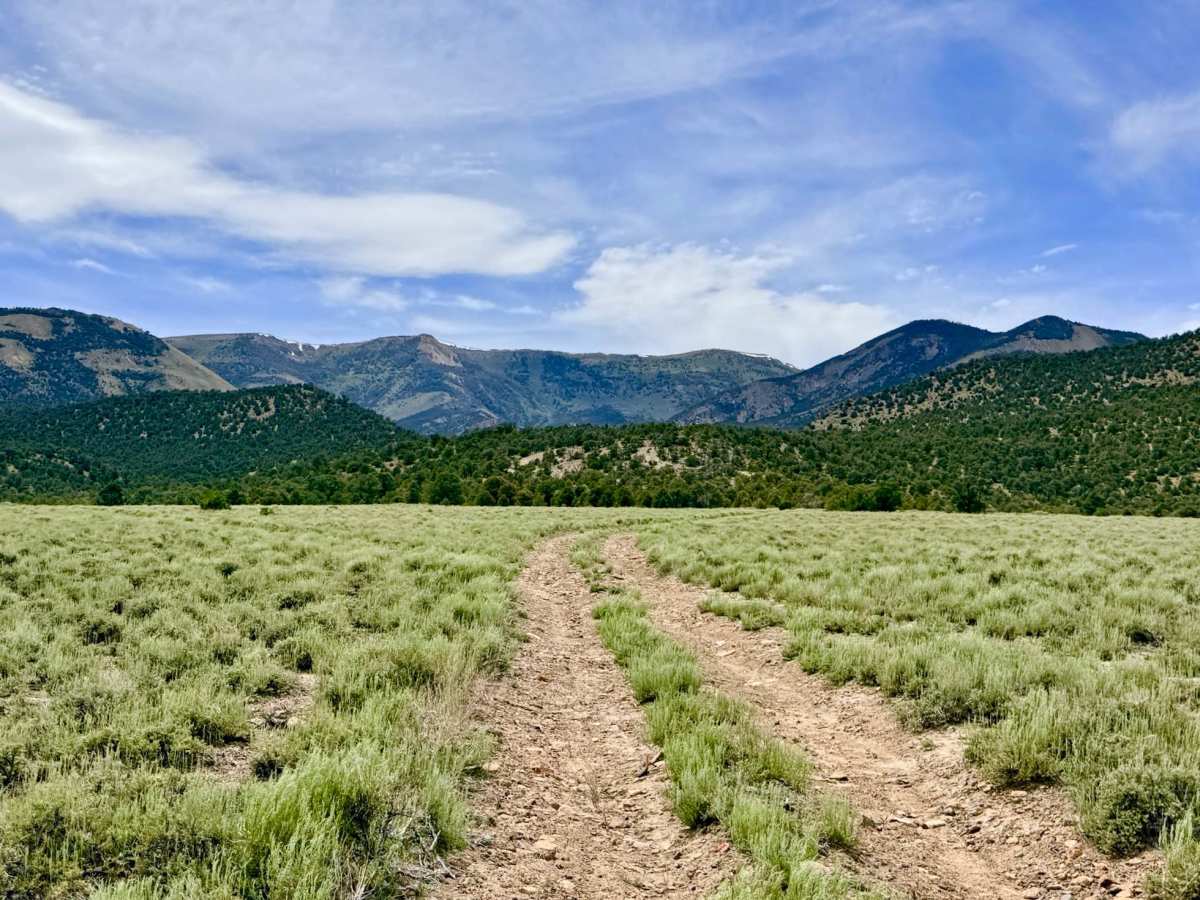
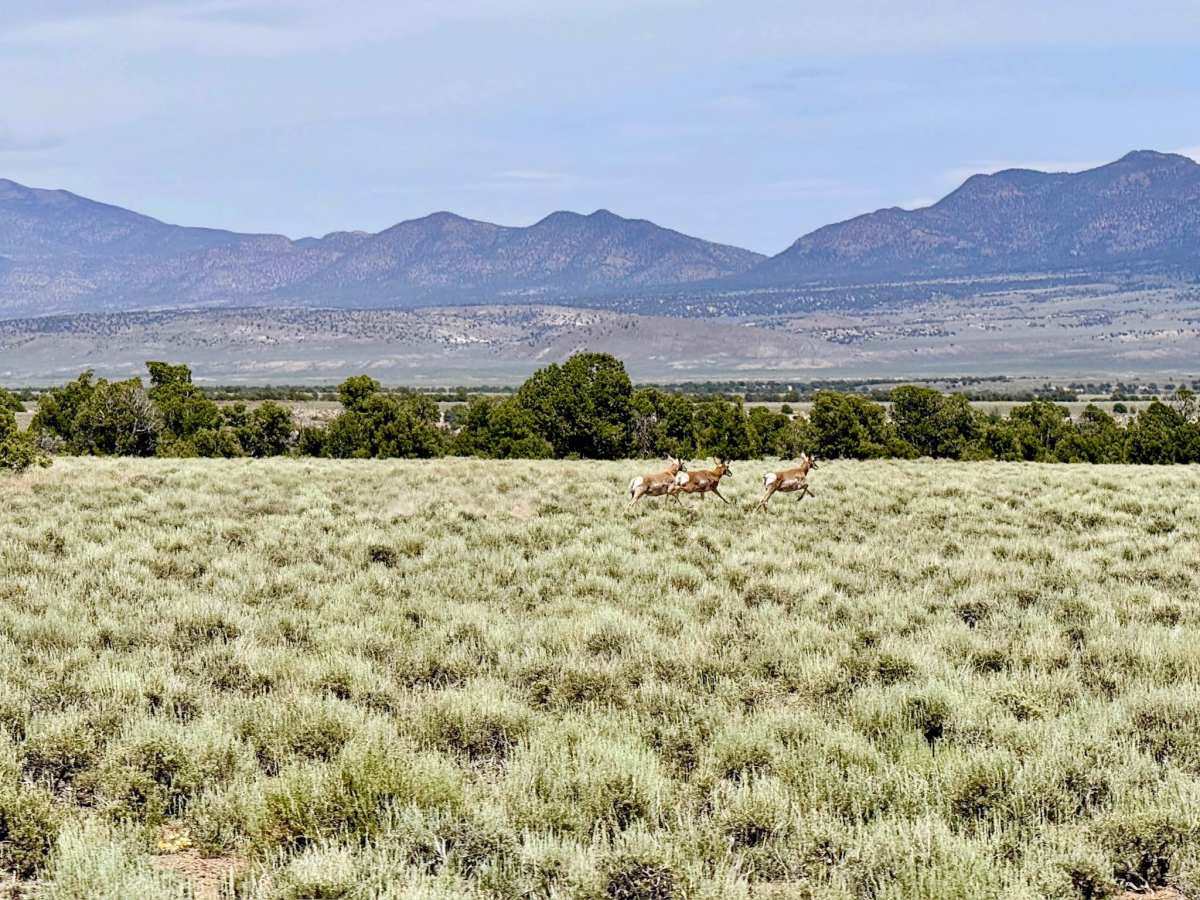
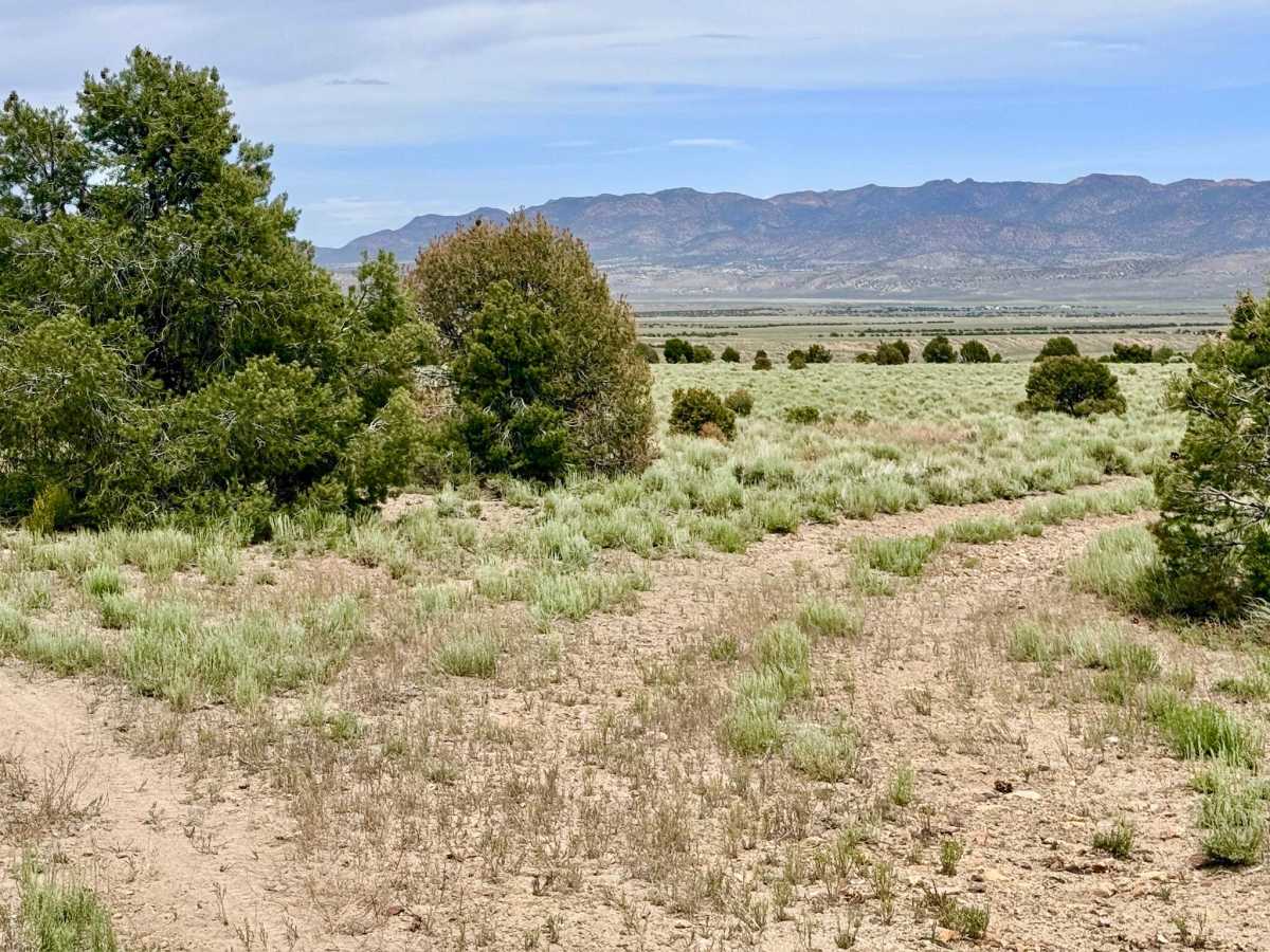
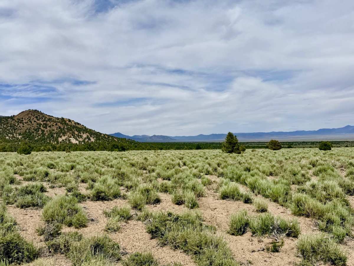
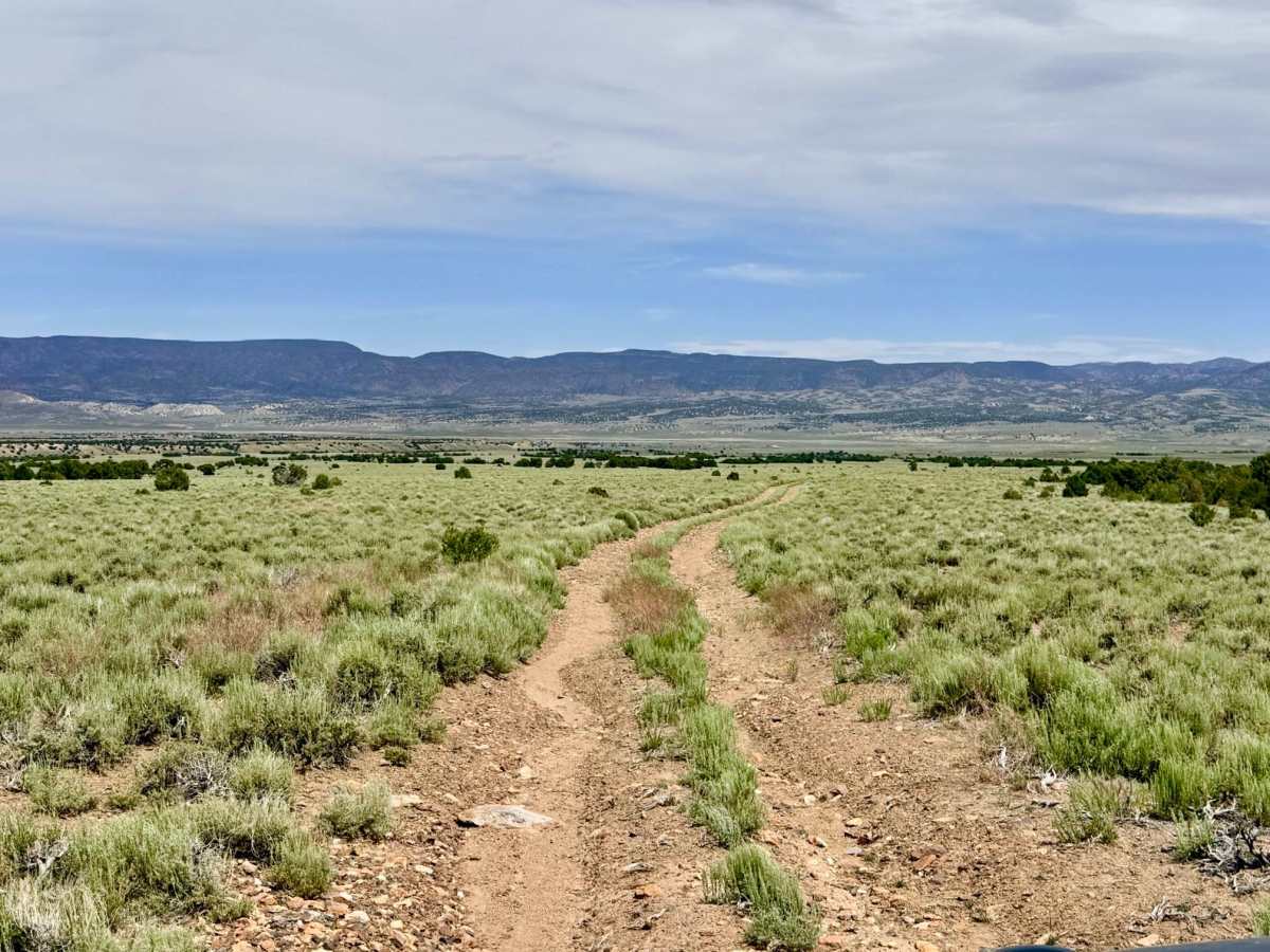
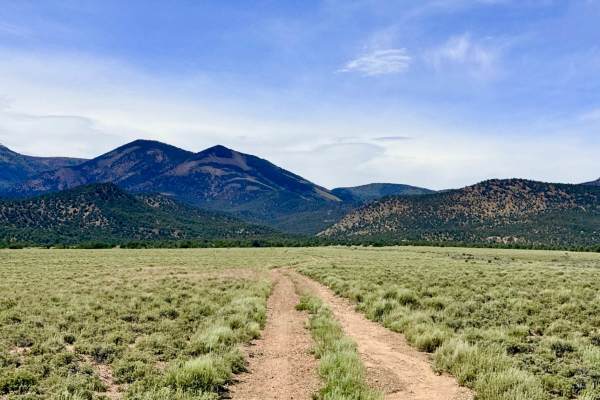
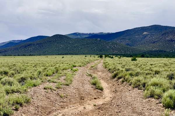
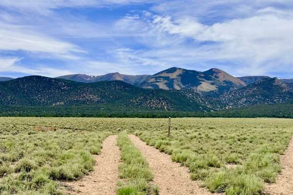
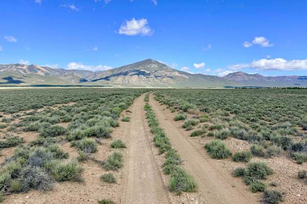
Sawmill Creek (FS 44425) is a direct, enjoyable route that bridges the gap between the technical mountain loops and the wide-open thoroughfares of the valley. While the trail parallels the natural drainage of Sawmill Creek, it stays primarily on the higher ground of the canyon sides, providing constant views of the rugged peaks behind you and the shimmering basin ahead. This route serves as the essential "exit ramp," carrying explorers from the terminus of the Sawmill Creek Loop (FS 44424) back down to the Little Fish Lake Valley Road. The driving experience is characterized by a classic Nevada "bouncy" two-track. The surface is consistently rocky, requiring a steady pace to manage the vibrations of the uneven terrain. As you descend out of the pinyon-juniper foothills and back into the sagebrush flats, keep a sharp eye on the horizon. This area is a frequent haunt for the region's most iconic wildlife. It is common to catch a glimpse of Pronghorn Antelope racing across the lower slopes or the majestic wild mustangs that call the Monitor Range home. While the trail is relatively short, it offers a profound sense of "Basin and Range" scale. Navigation: Use this trail to complete your descent after exploring the Sawmill Creek hiking trailhead or the higher-elevation loops. It provides a reliable connection back to the main valley road. Expect zero cell service for the duration of this trail. The transition zone between the foothills and the valley is a known dead zone. Download offline maps before leaving the Tonopah or Highway 376 corridor.
Difficulty
Rated a 2 for its easy grade, but the track remains a narrow two-track. Drivers should stay alert for oncoming traffic and be prepared to utilize natural clearings or the brushy shoulder to allow others to pass. Suitable for most high-clearance 4x4s and SUVs. While technically easy, the consistently rocky surface makes standard low-clearance vehicles less ideal for this route.