Trail Overview
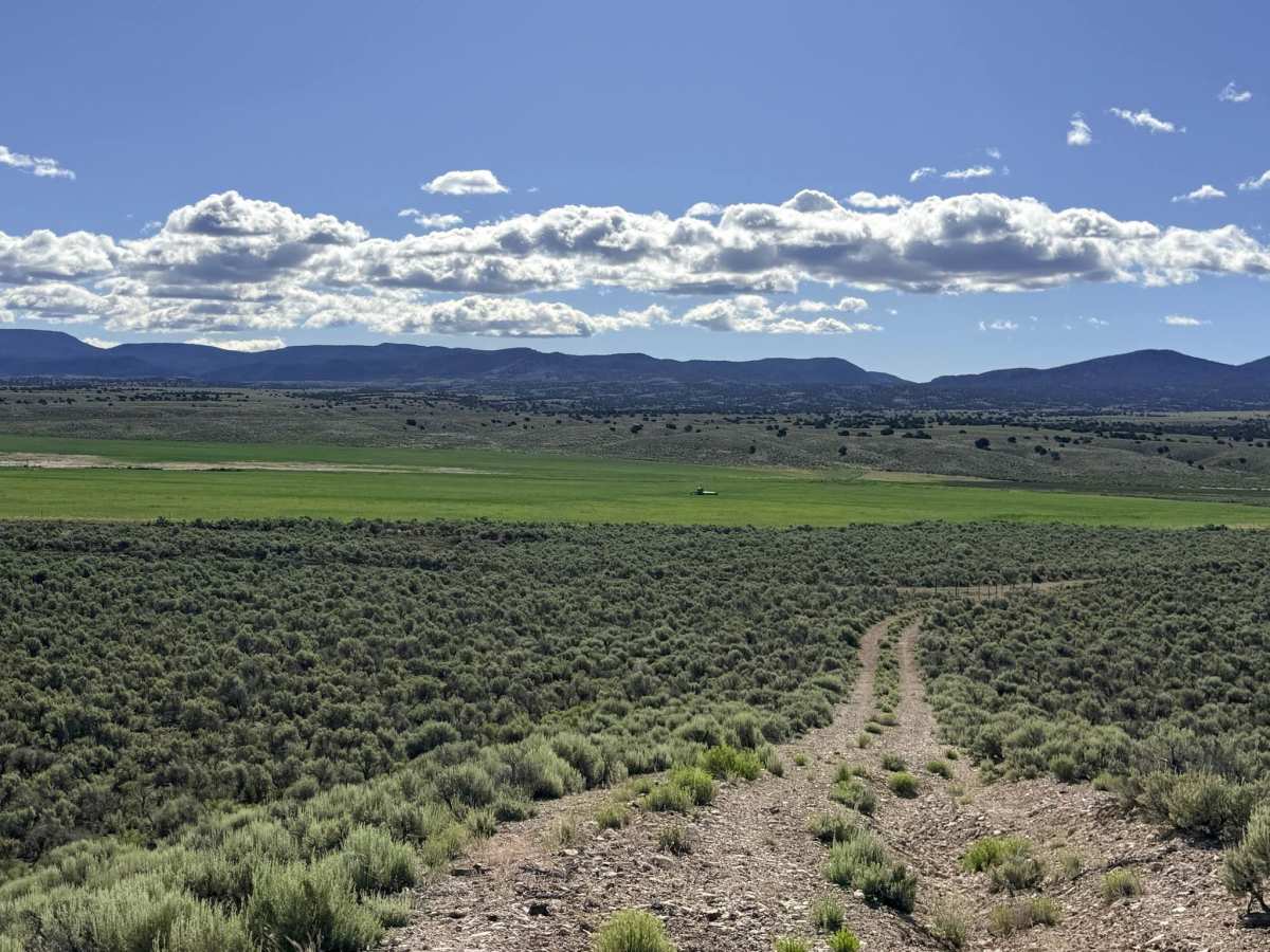
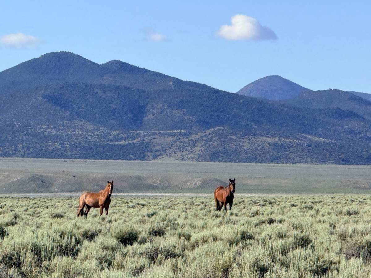
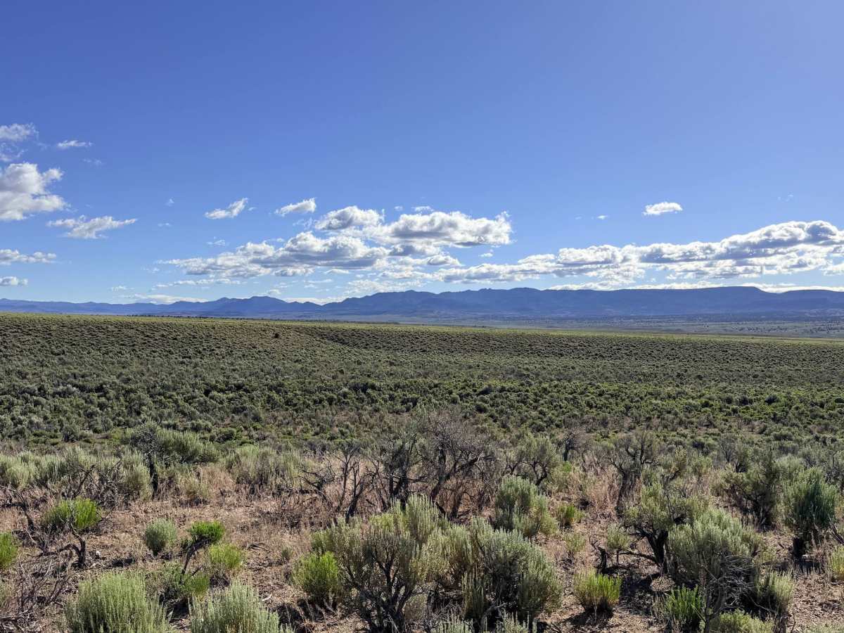
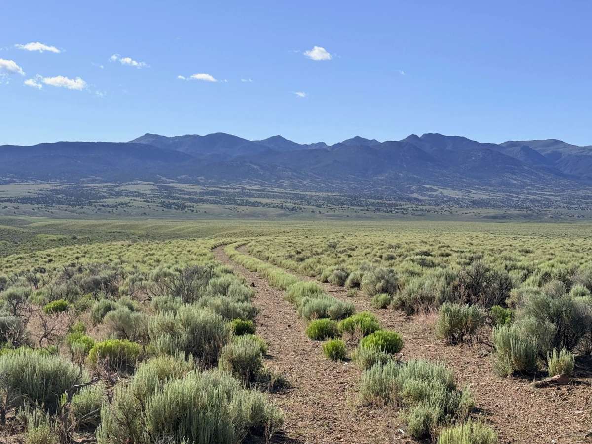
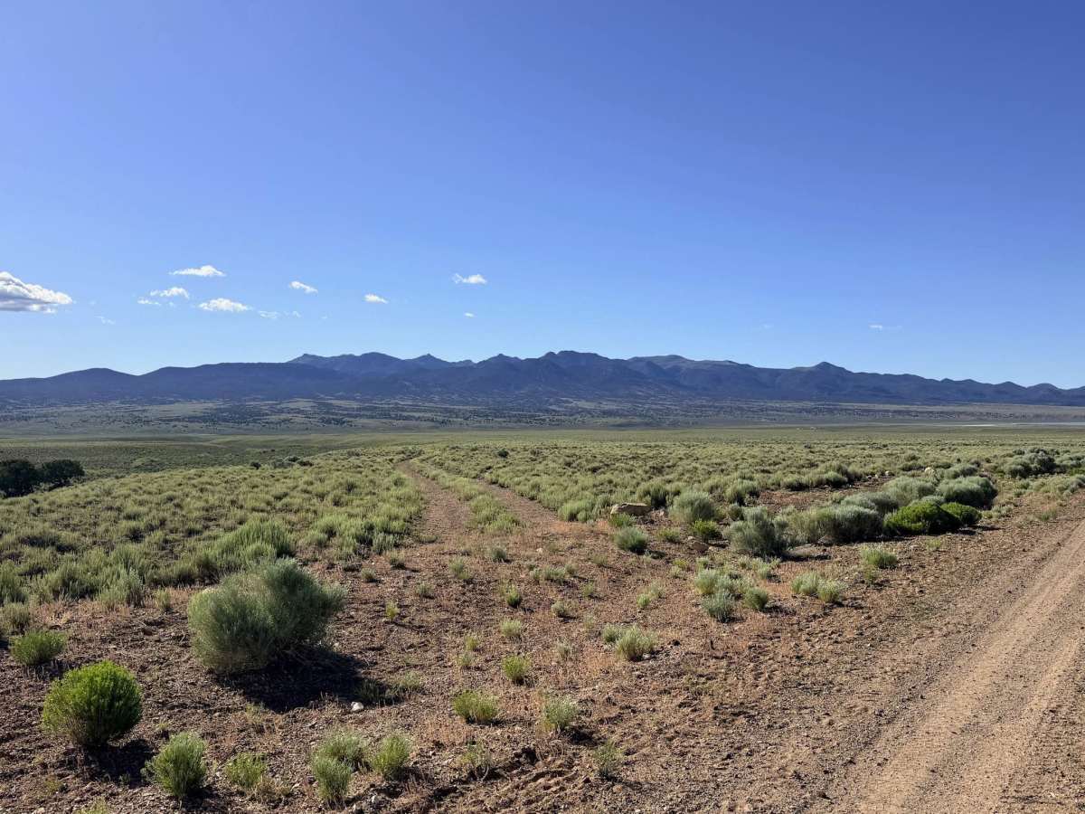
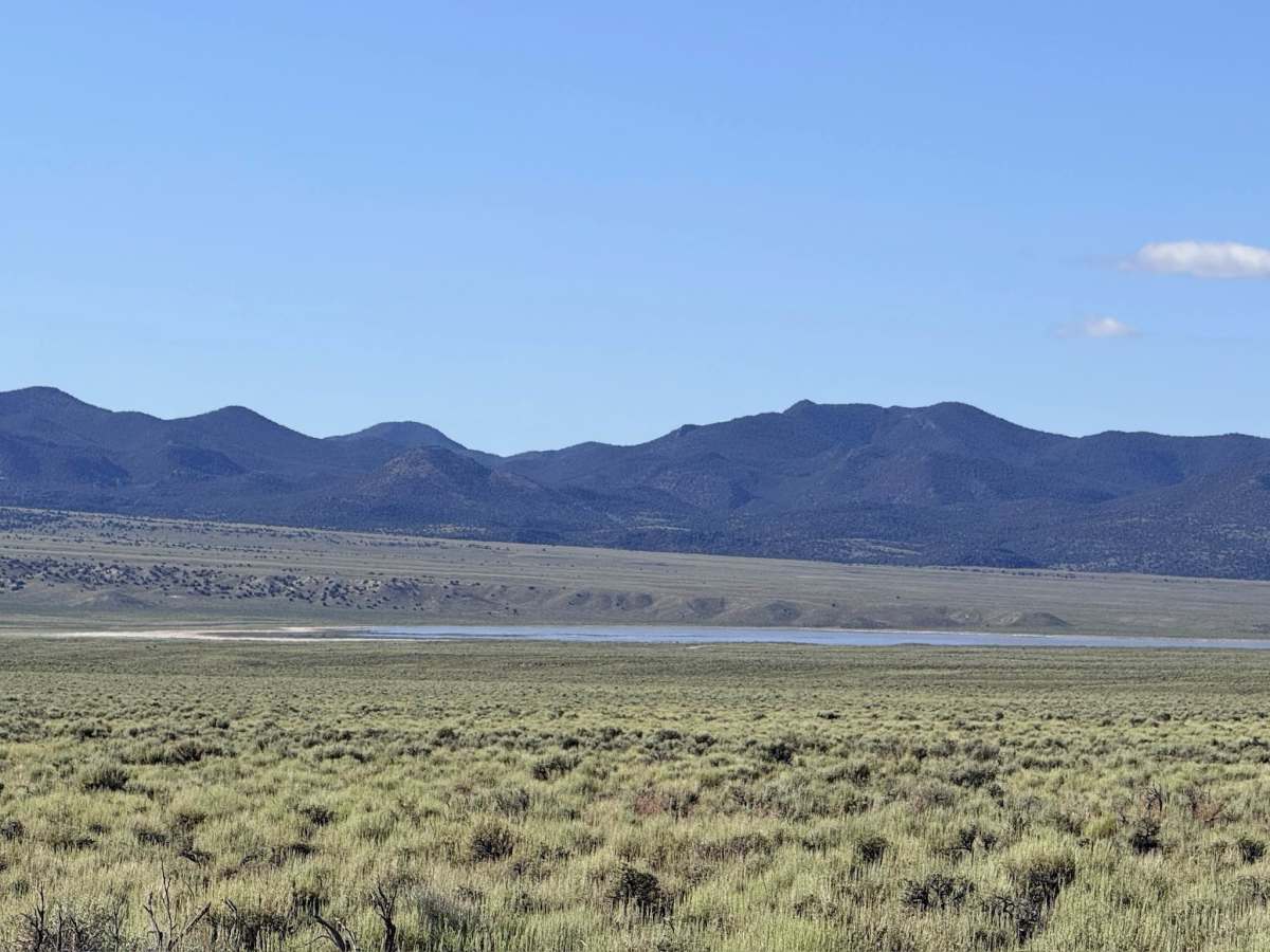
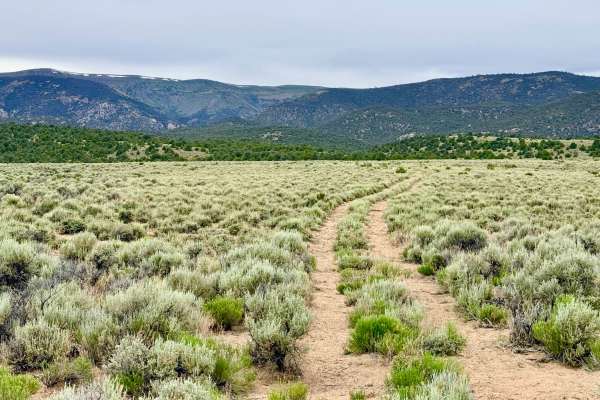
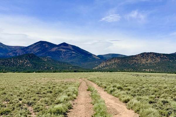
South Danville Creek is an inefficient transit route that follows the southern edge of the Danville Creek drainage. This trail serves as a vital low-elevation link, connecting the primary mountain access roads to the lower valley floor thoroughfares. As you cruise through this section of the Great Basin, you are treated to an intimate look at Nevada’s enduring ranching culture. The landscape is a classic mix of silver sagebrush and irrigated green spaces. This area is a major hub for local livestock and wildlife. If you visit in the springtime, the meadows are often full of activity, featuring new calves and, if you’re lucky, a glimpse of a newborn wild colt among the bands of mustangs that graze here. While the drive is generally smooth and low-stress, the environment is shifting; recent agricultural developments, including new hay-growing fields, have slightly altered the historic routes in this area. Explorers will enjoy the wide-open views and the sense of frontier life that remains the heartbeat of the Monitor Valley. This is active open-range grazing land with high livestock density. You will encounter a cattle gate at the end of the trail near the farm properties. It is mandatory to keep this gate closed at all times to ensure cattle remain in their designated pastures. Expect zero cell service for the duration of this trail. The vastness of the valley floor puts you well outside tower range. Download offline maps before leaving the Tonopah or Highway 376 area.
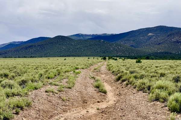
Navigation: Be aware that the installation of new hay fields by local farms may make some older map tracks appear slightly different on the ground. Always follow the established two-track and respect "No Trespassing" signs on private agricultural land.
Difficulty
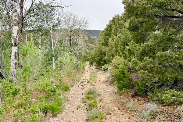
Rated a 2 for its easy grade and smooth surface. However, drivers must stay alert at the easternmost end of the trail: ensure you stay to the left where the road has suffered a significant washout. Under dry conditions, this route is manageable for standard crossover vehicles.
History
The South Danville Creek area is a testament to the "Second Gold" of Nevada: agriculture. While the nearby Danville District exploded with silver excitement in 1866, it was the fertile valley floor that allowed the community to survive. The hay fields you see today are modern iterations of a 150-year-old tradition where "oasis" ranches utilized the rare mountain runoff to produce the forage needed for the massive mule teams of the mining era.