Trail Overview
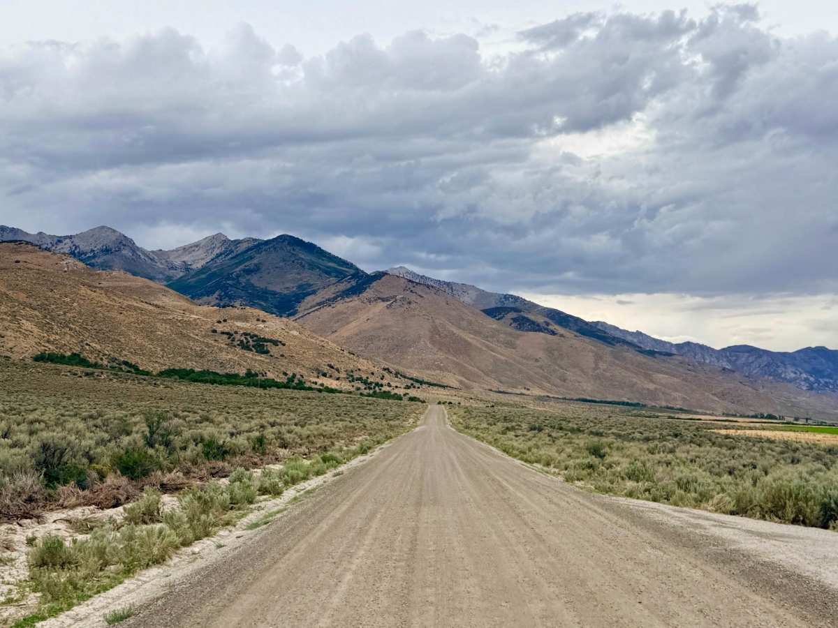
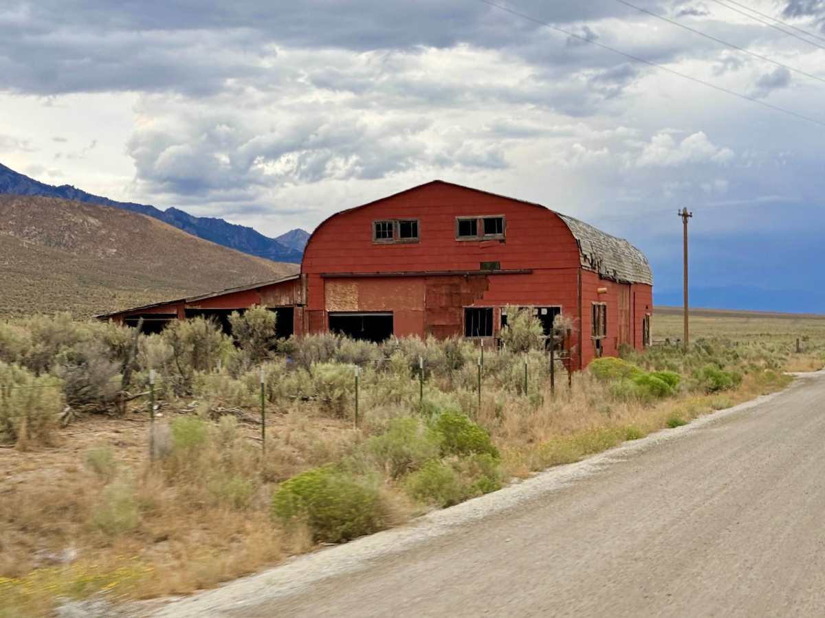
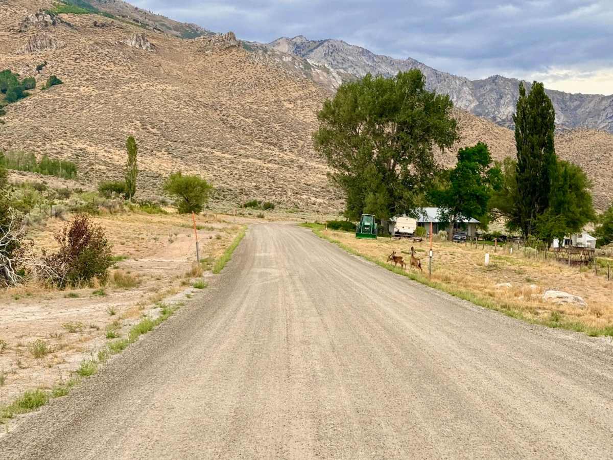
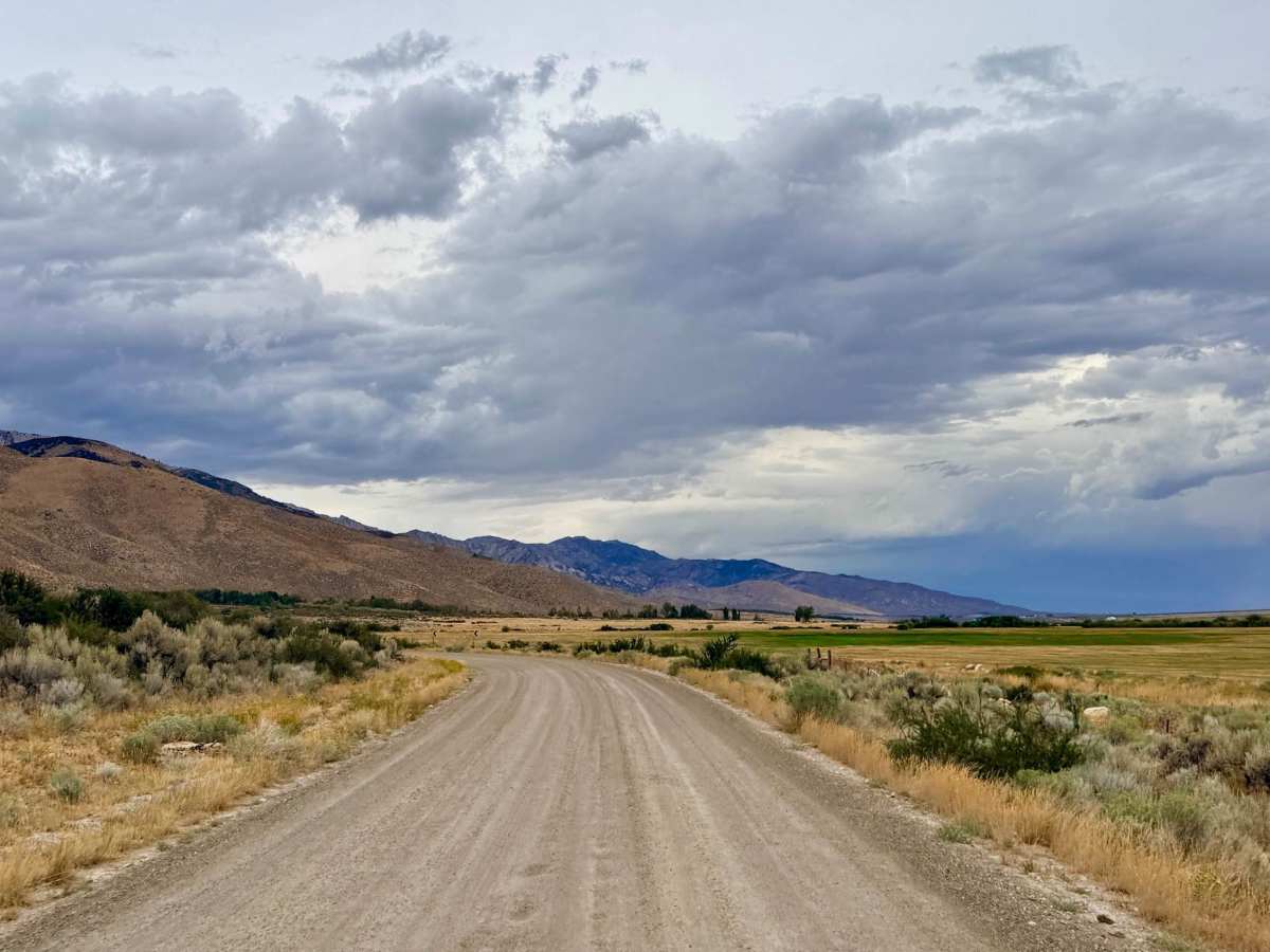
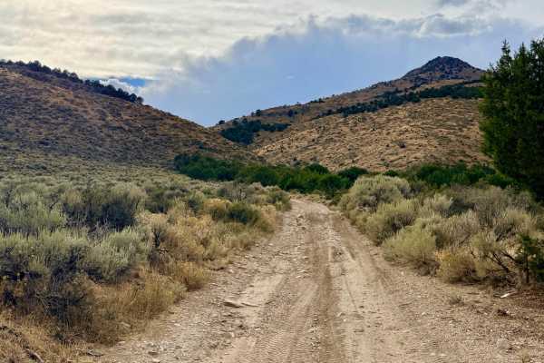
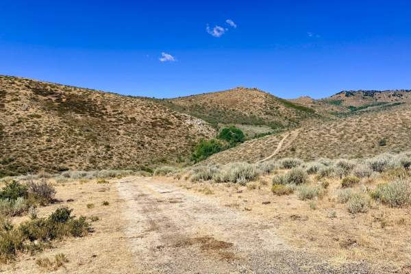
Ruby Ridge North serves as the primary unpaved artery for accessing this region. The route begins where the asphalt ends and runs all the way down to the intersection of Harrison Pass / PL M Road - FS 1011. From there, you can continue onto Ruby Ridge Road South for further access through the area. Because it is the main access route, it connects to many offshoot trails. It is also the quickest and most reliable egress route if you experience an emergency or need to head back into town to restock on fuel, provisions, or supplies. This is active ranching country. Keep your eyes peeled for cattle and other livestock that may have wandered out of open gates and onto the wide, fast-moving road. Despite being a well-graded and populated access road, there is absolutely no cell service out here.
Difficulty
This is a wide, smooth, and fast dirt road. It is very well-graded and even features an anti-dust layer, making it easily accessible for virtually any vehicle.
History
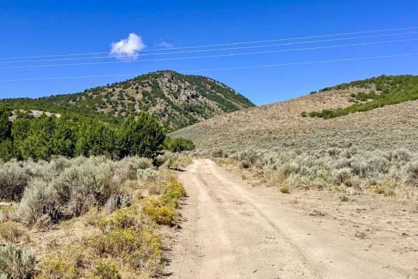
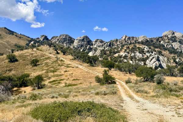
Basecamp Access: Since this road connects to numerous smaller offshoot trails, it serves as the perfect central spine for navigating to various hiking, off-roading, and dispersed camping areas deeper in the mountains.
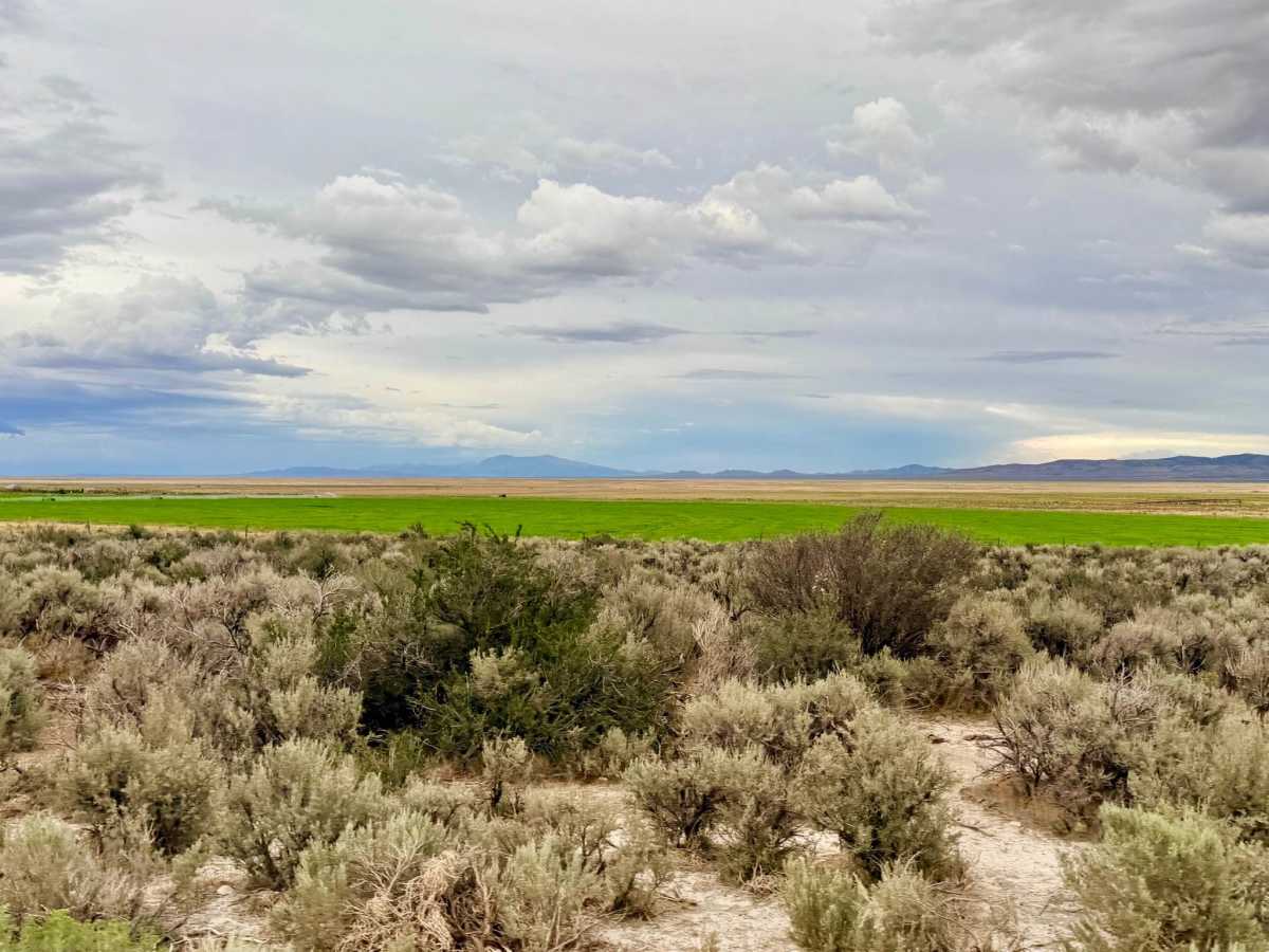
Hunting Access: Thanks to its high-elevation meadows and mahogany groves, the area is a prime habitat for local game, making this a popular and strategic staging area for late-summer hunting.