Trail Overview
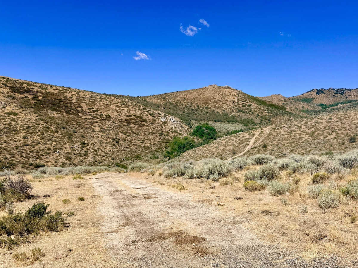
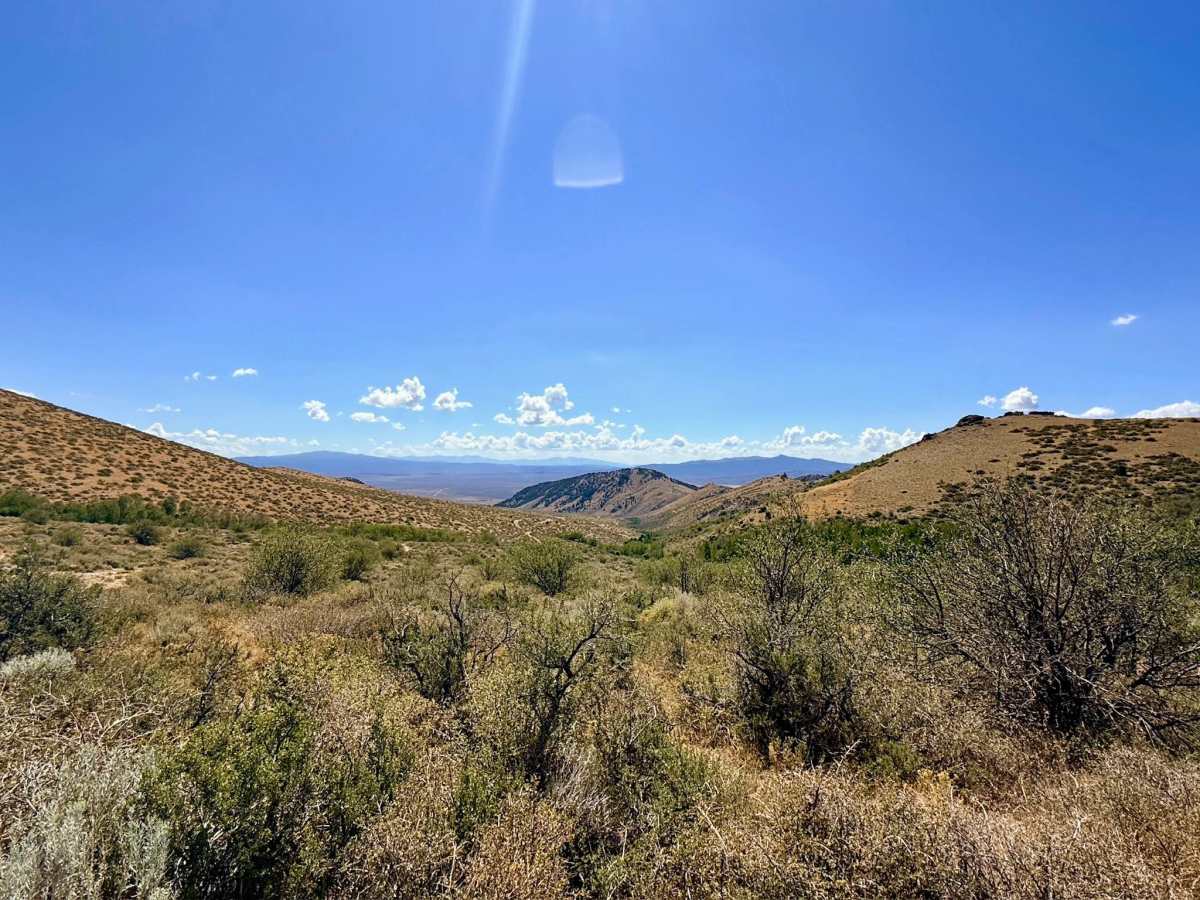
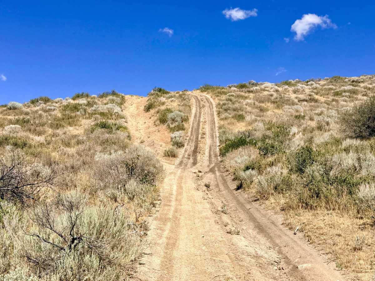
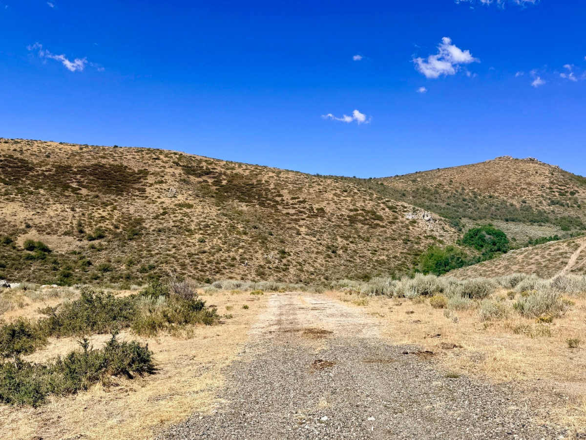
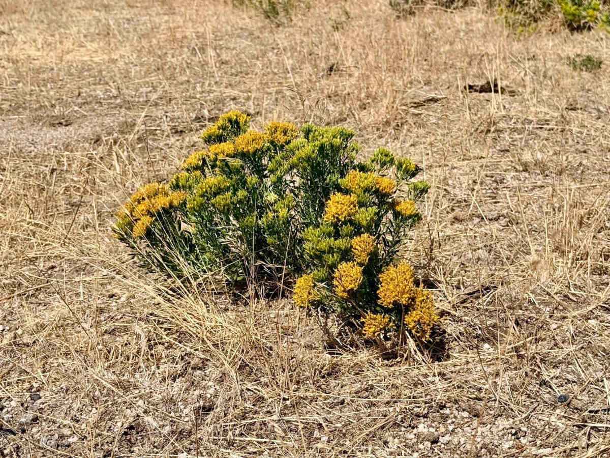
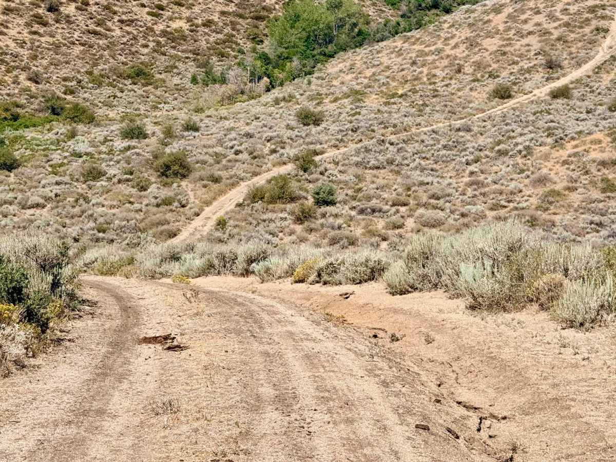
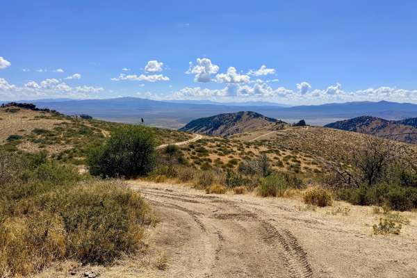
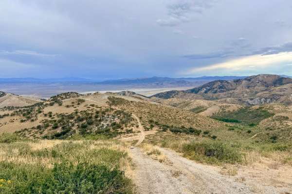
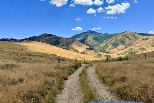
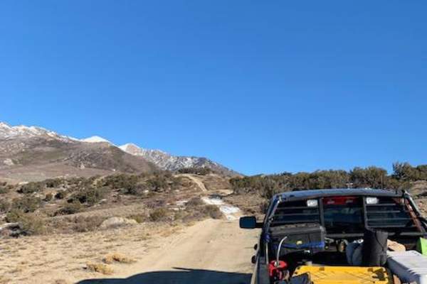
This short connector trail packs a surprising amount of diverse scenery and dynamic driving into a brief route. Functioning as a vital link between larger trail networks in the area, the path continuously transitions between open, sun-drenched hillsides and sheltered draws. Drivers will navigate short but pronounced elevation changes, tackling steep, loose dirt climbs that reward you with sweeping views of the surrounding foothills. The landscape shifts quickly from classic high-desert sagebrush to deeper canyons heavily shaded by quaking Aspen groves and thick patches of mountain mahogany. It remains a visually engaging route year-round, featuring vibrant seasonal wildflowers in the spring and early summer, followed by brilliant gold and yellow Aspen foliage during the autumn months. Do not attempt this trail during or immediately after heavy rain, as the steep, loose hills become treacherous and potentially impassable mud traps. There is zero cell service on this trail and the surrounding network. Downloading offline maps before entering this area is recommended.
Difficulty
The rating reflects a couple of challenging, steep hill climbs and descents that feature loose terrain. Due to the soil composition and steep grades, these sections can become extremely slick and possibly impassable when wet. There is no winter maintenance on this route.