Trail Overview
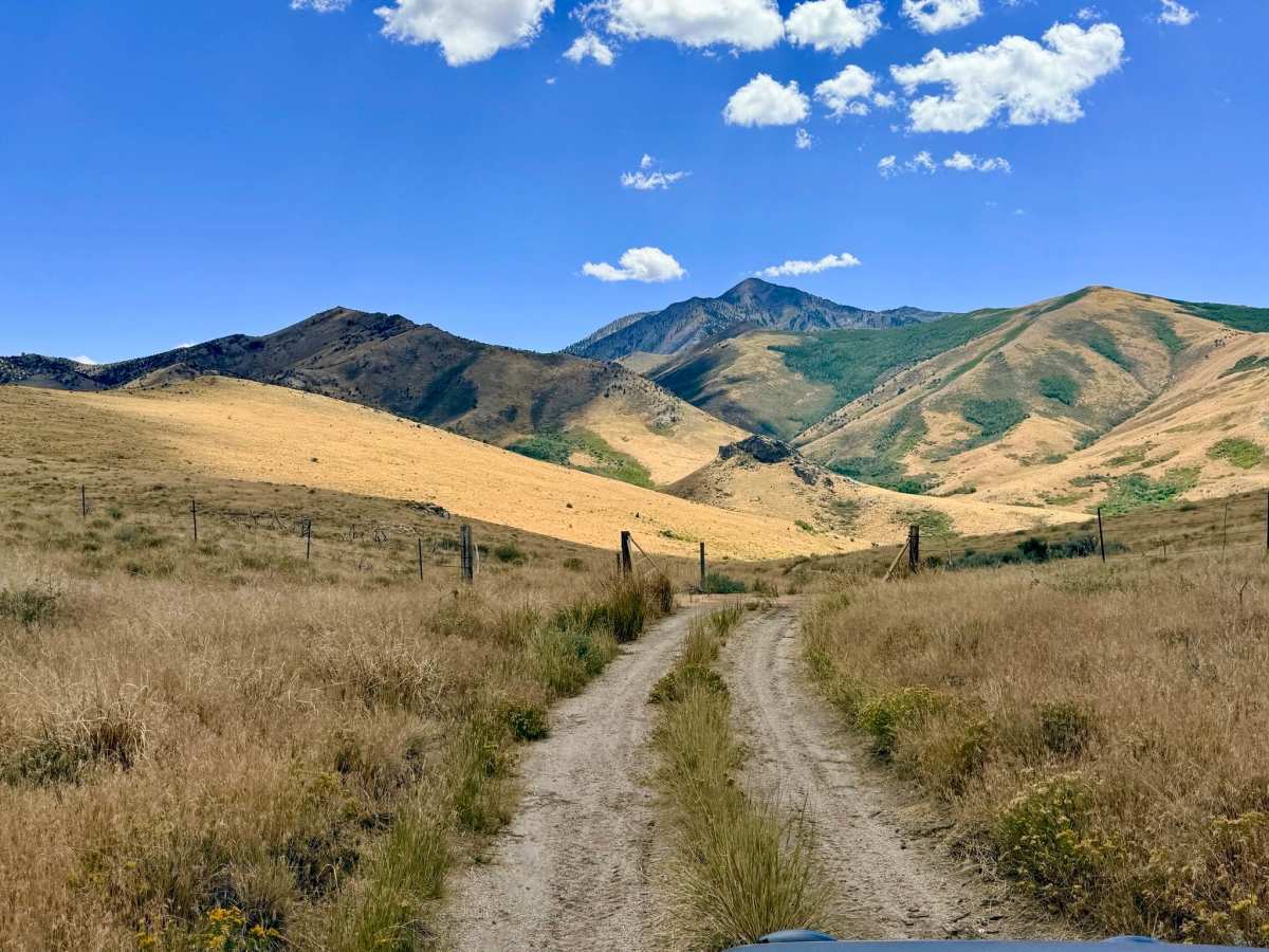
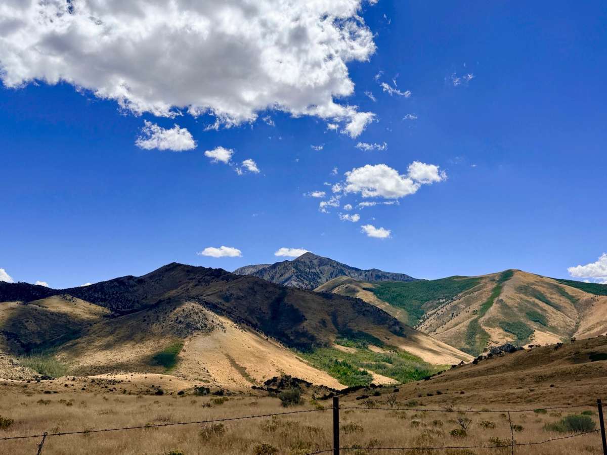
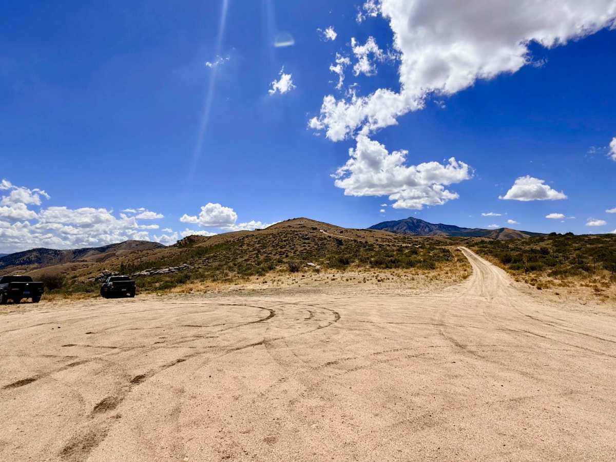
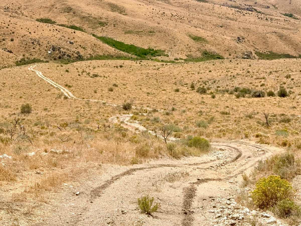
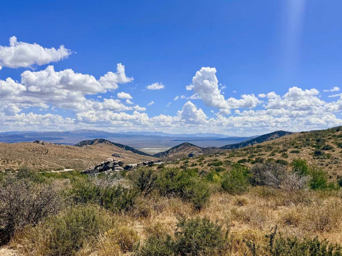
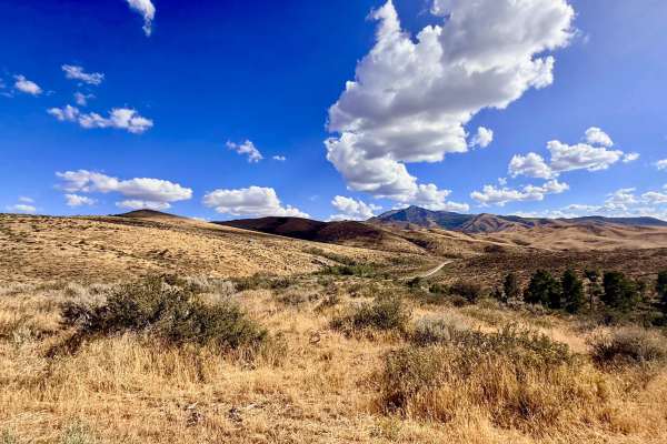
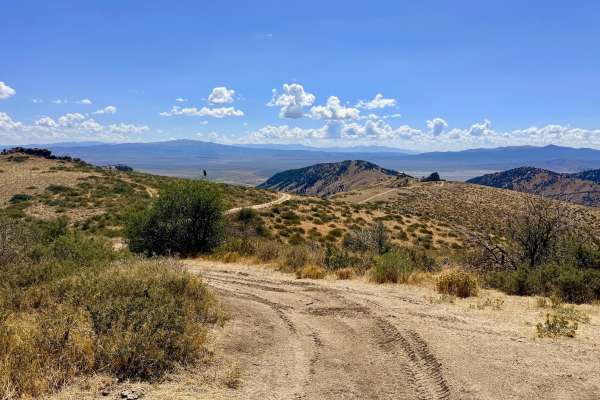
This highly scenic route begins at the Harrison Pass staging area and immediately climbs into the hills. After navigating the initial rutted ascent, the trail levels out, rewarding you with outstanding, sweeping views on both sides as you gain elevation. Crossing the peak reveals a vast sea of dried-grass meadows dotted with seasonal wildflowers and vibrant green patches fed by local springs, all framed by distant rock clusters. As you approach the western end, the trail rolls down into a canyon alongside a creek. The final stretch passes through private ranching property before letting out just down the road on Bureau of Land Management land. While there are currently no "No Trespassing" signs, it is absolutely critical to stay strictly on the trail and be respectful of the property to ensure this route remains open for future use. Once over the peak, there is a robust network of spur trails ripe for exploration, though be aware that some of these secondary routes feature very steep climbs. There is zero cell service anywhere on this trail or in the surrounding meadows. Downloading offline maps before entering the area is recommended.
Difficulty
The route begins with a mildly spicy, rutted climb right out of the staging area. Throughout the trail, expect steep ascents, occasional short rocky sections, and off-camber transitions through washouts. Despite these obstacles, it remains a very pleasant off-road trail when navigated with care.