Trail Overview
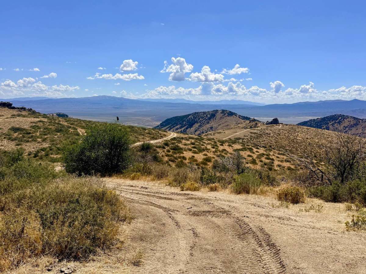
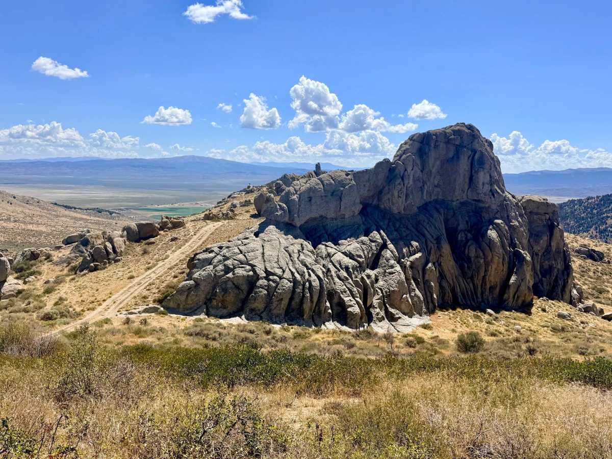
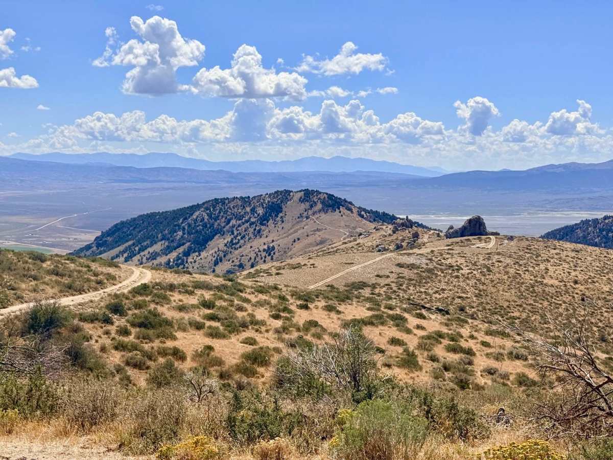
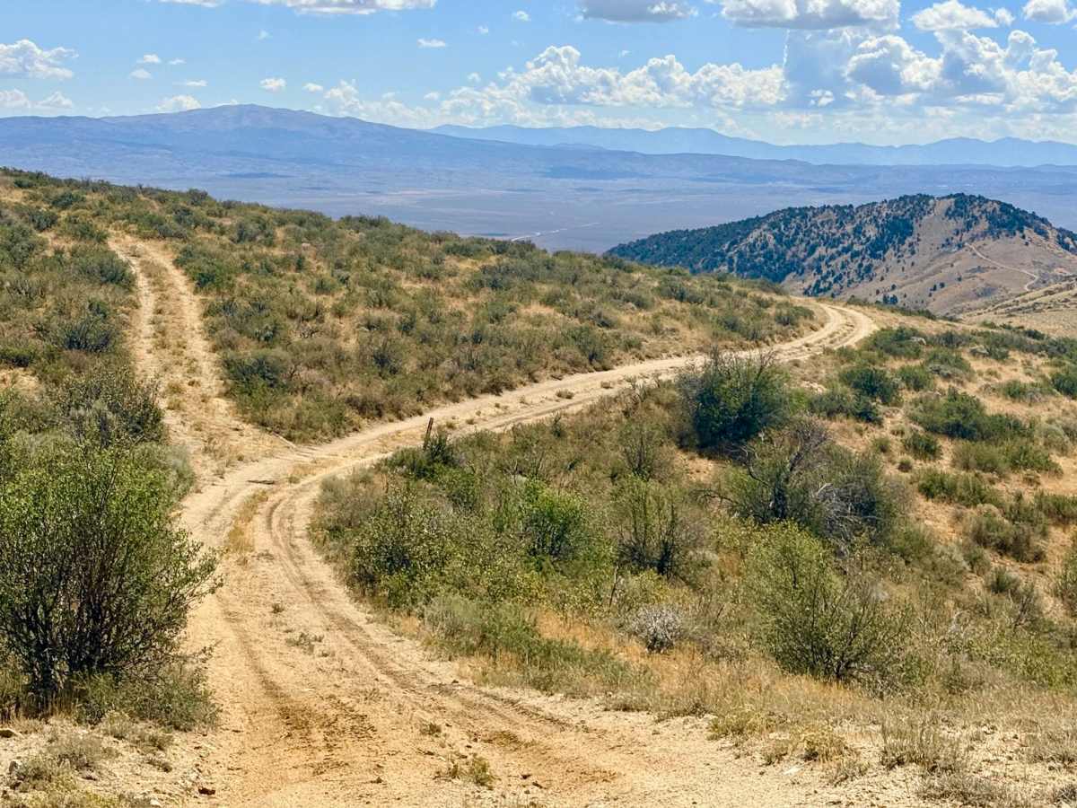
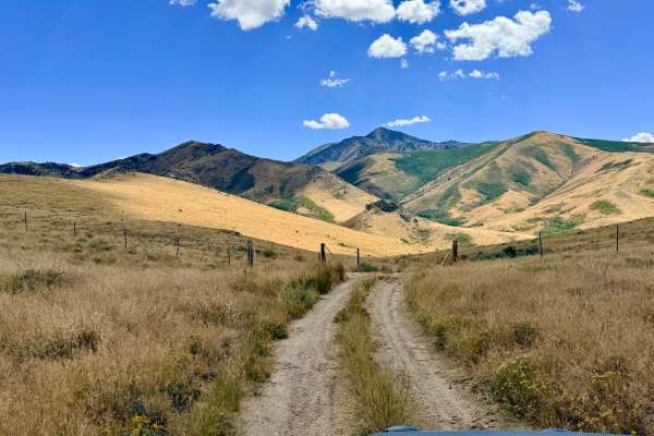
This short route offers a fascinating drive along a prominent ridgeline before descending to a notable historic site. The ridge section provides spectacular, panoramic views on both sides of the trail. Keep an eye out for unique rock formations along the way, including one that playfully resembles a monkey when the sunlight hits it just right. The high desert air is crisp along this exposed section, offering a profound sense of isolation in the rugged wilderness. Upon reaching the Star Mine junction, the trail takes a right turn heading south, working its way down the mountain. The descent transitions from the windswept ridge into a more sheltered landscape, eventually connecting with the main road and the well-preserved, historic Star Mine complex. Full-size rigs should exercise extreme caution or consider avoiding this route due to the very tight squeeze section that makes navigation difficult. There is zero cell service on this mountain ridge. Downloading offline maps before entering this area is highly recommended.
Difficulty
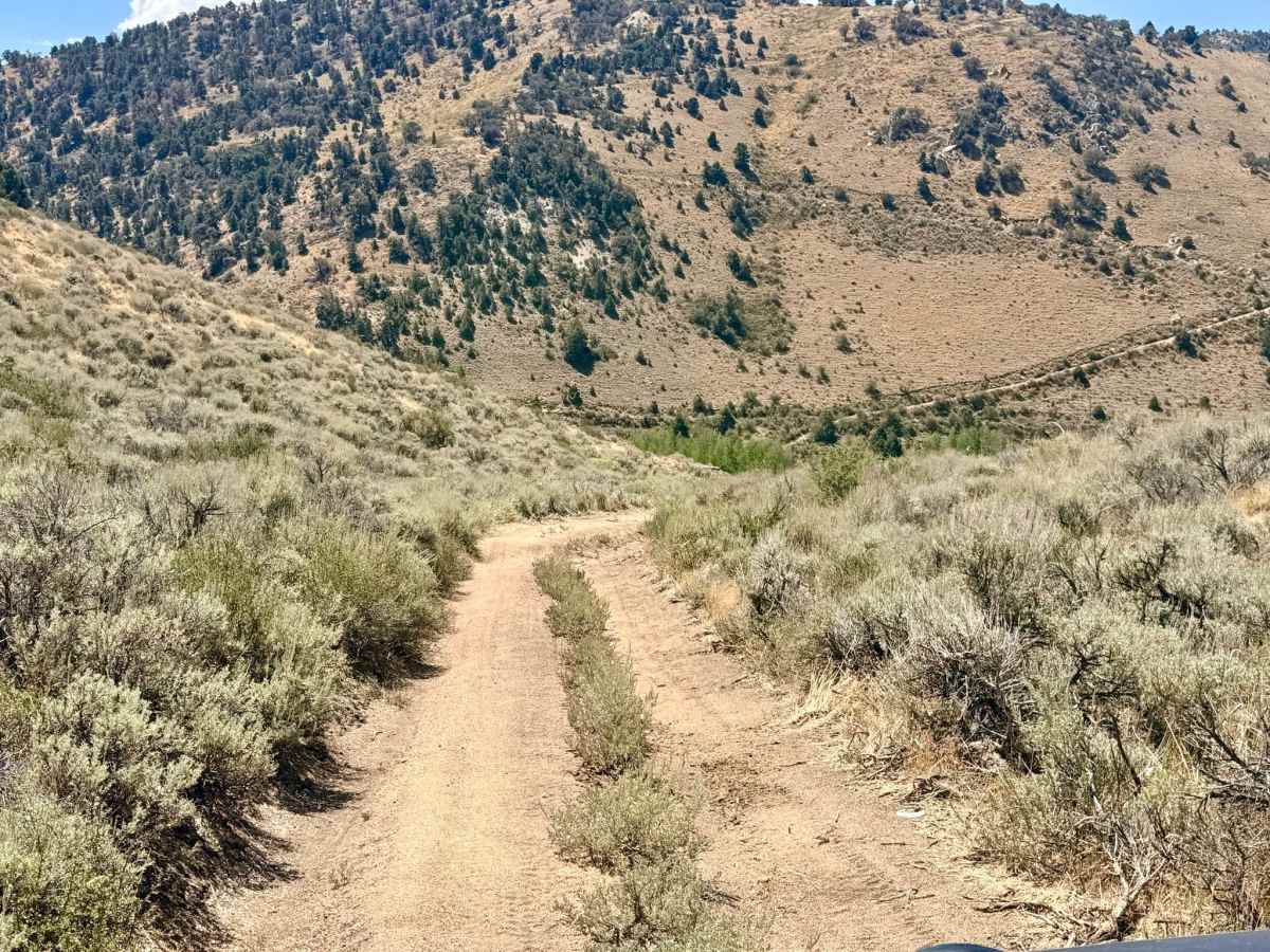
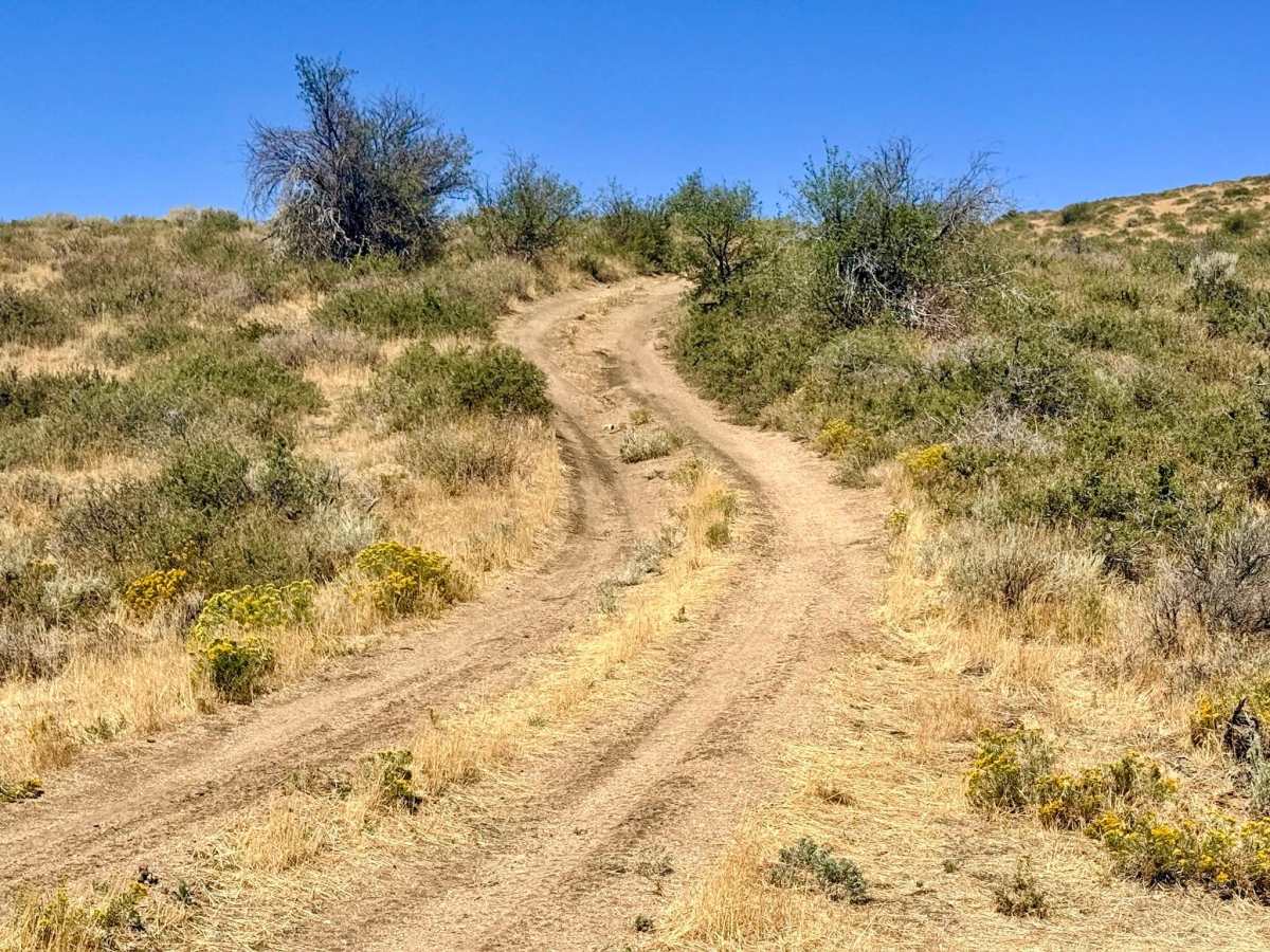
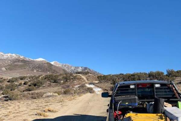
The trail features a couple of steeper hill climbs and descents that contain ruts and holes, requiring careful tire placement. Additionally, there is a "super narrow squeeze" that will be very difficult for full-size vehicles to navigate without risking body damage.