Trail Overview
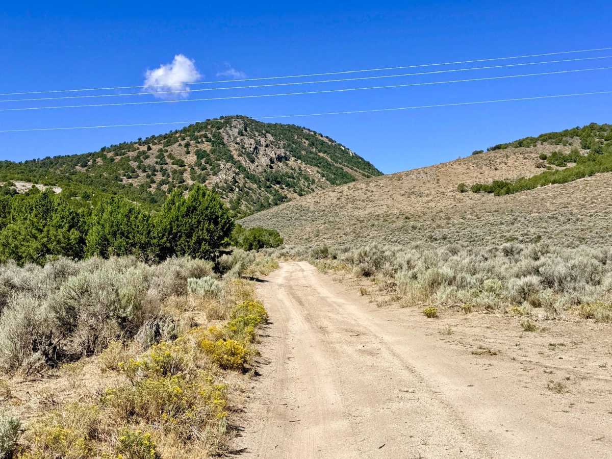
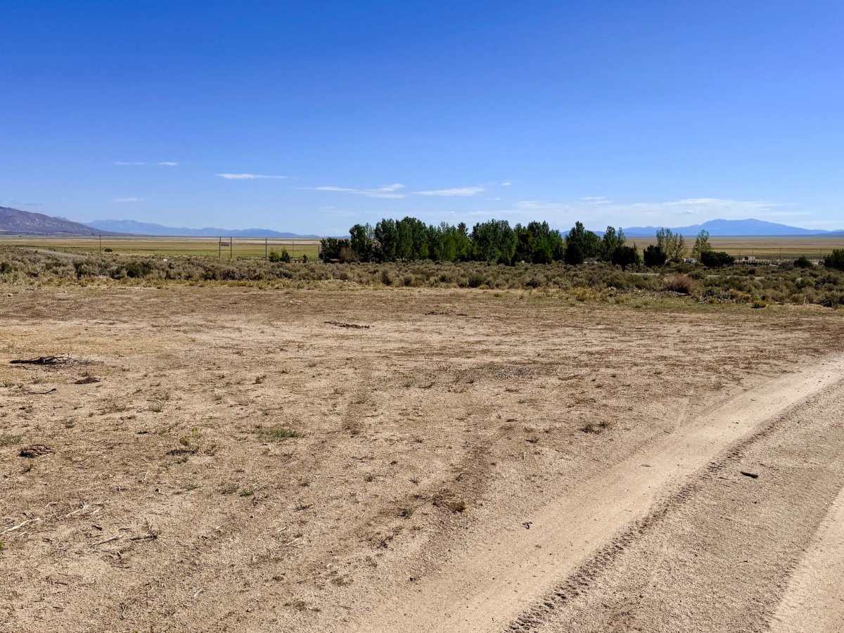
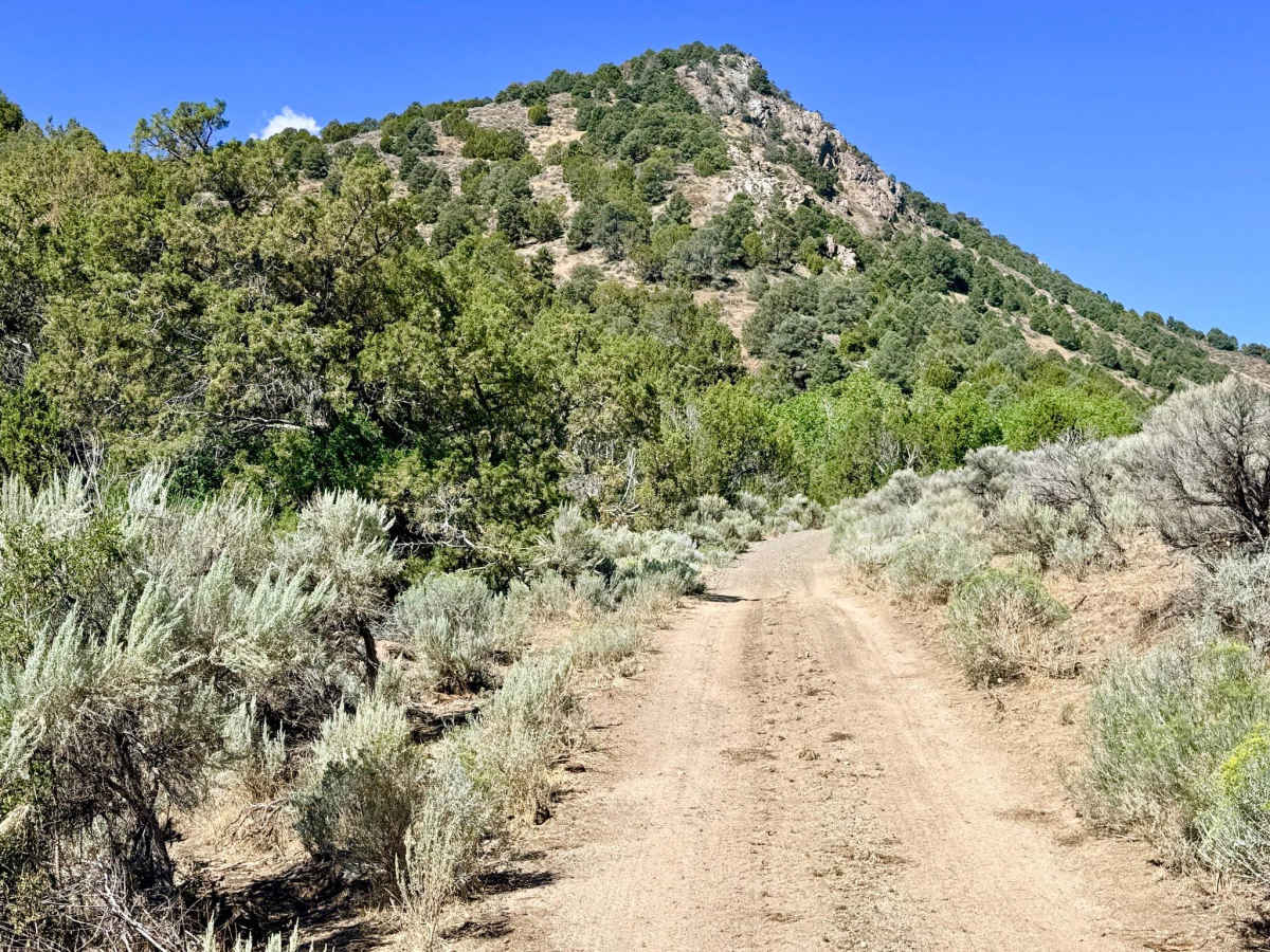
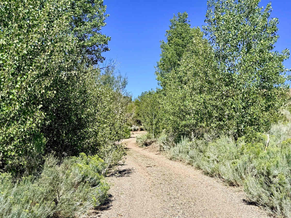
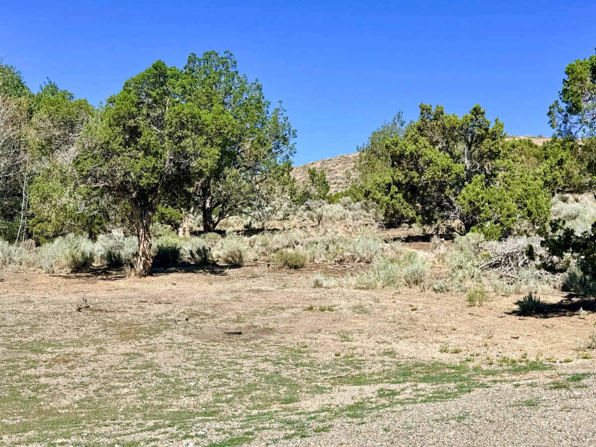
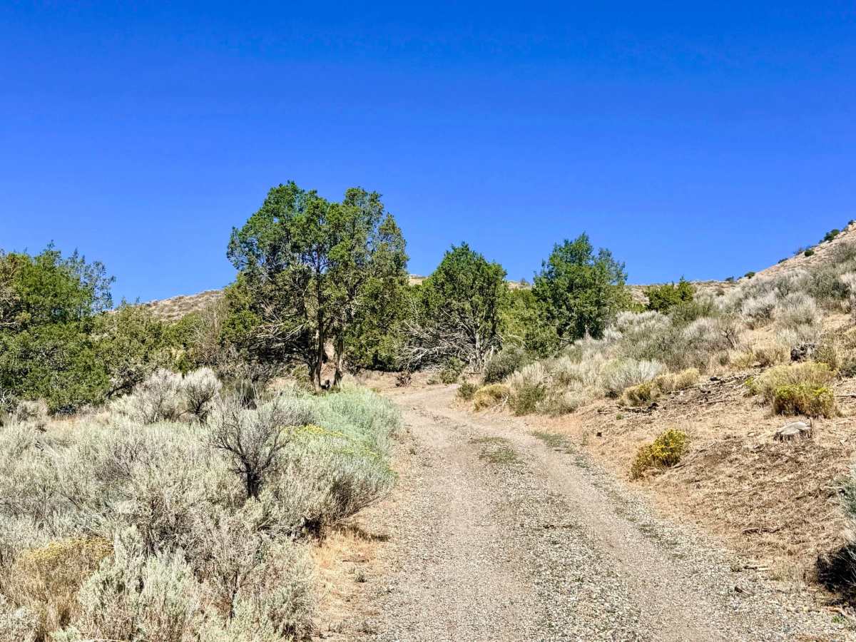
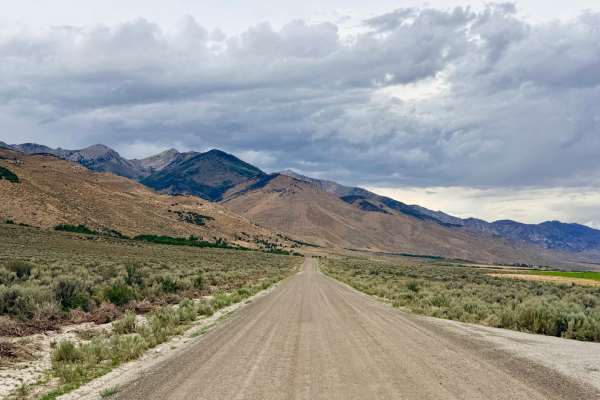
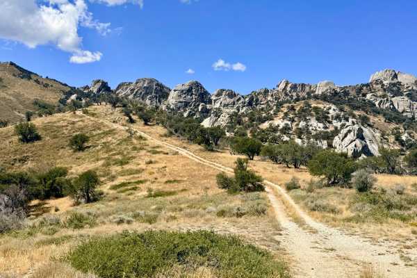
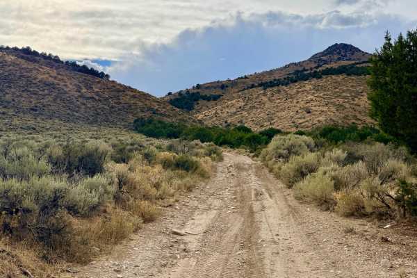
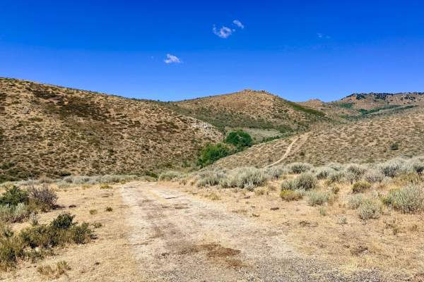
This route begins at a convenient lower staging area with enough room for a couple of rigs to air down and prep. The trail meanders along a muddy creek bed heavily shaded by beautiful Aspen groves. As you climb higher into the canyon, the environment transitions into rolling hills covered in tall grasses, sagebrush, and spotted juniper trees. The trail playfully twists and turns over the landscape, flanked by interesting rock formations on either side. Near the end of the route, you will tackle a steep climb that crests and drops down onto a picturesque little knoll, serving as your turnaround point and offering outstanding, sweeping views of the valley behind you. Cattle frequent this area and are often found standing directly in the road as you head up into the hills. There is absolutely zero cell service in this canyon. Download offline maps before heading into this area.
Difficulty
The majority of this trail is quite easy to navigate. The 3 rating is strictly due to a long, moderately steep hill climb and subsequent descent near the end of the route. While not highly technical, the steep grade makes shifting into 4-Low highly recommended for controlled climbing and engine braking on the way down.