Trail Overview
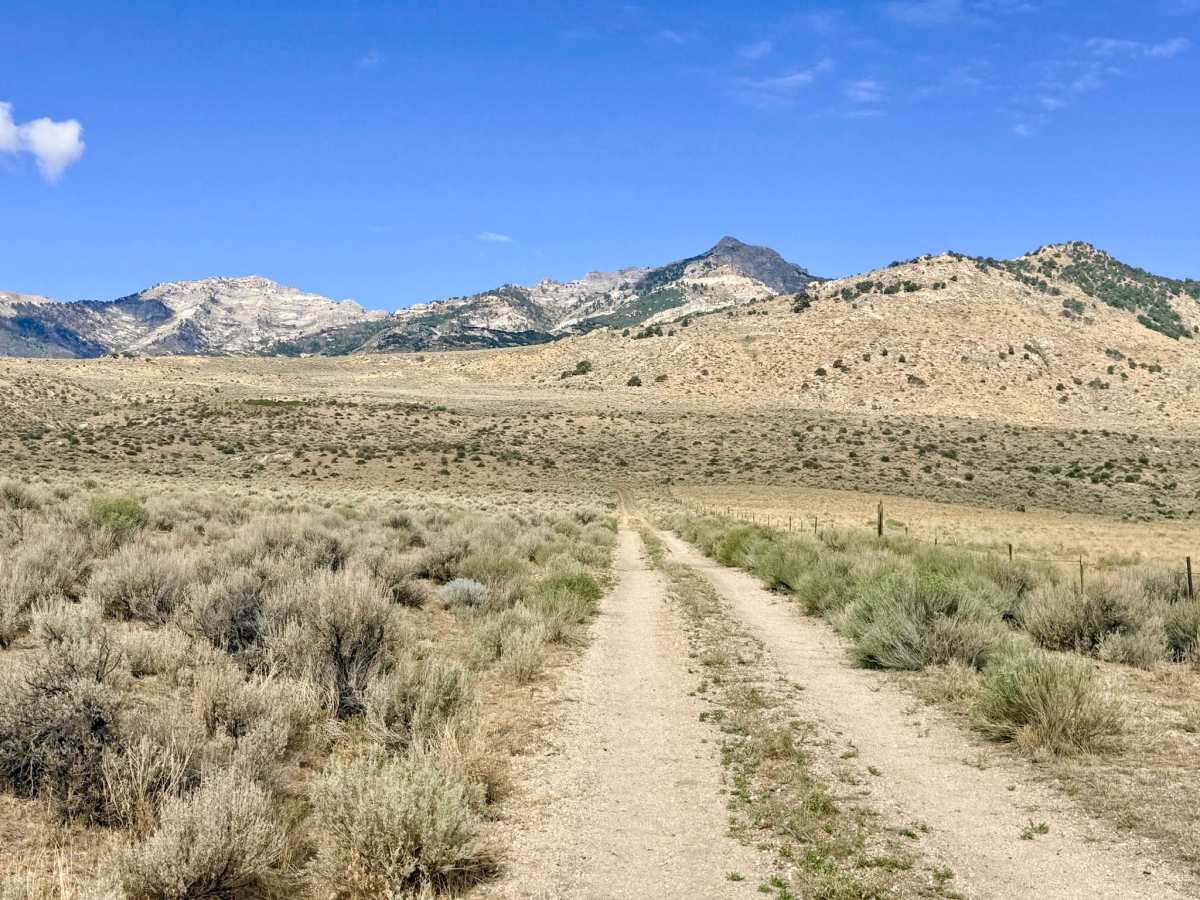
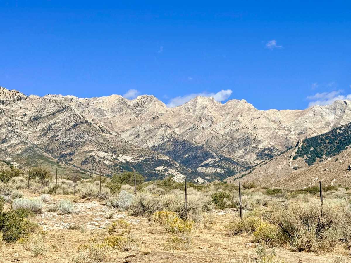
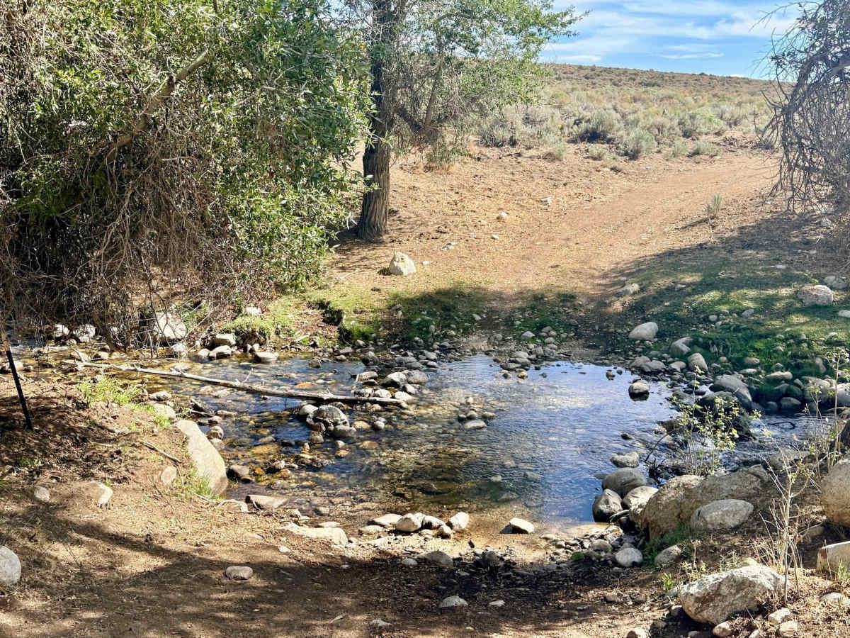
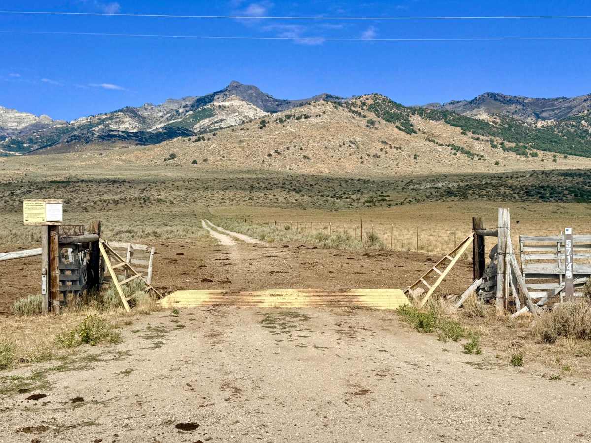
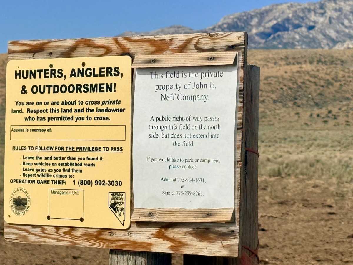
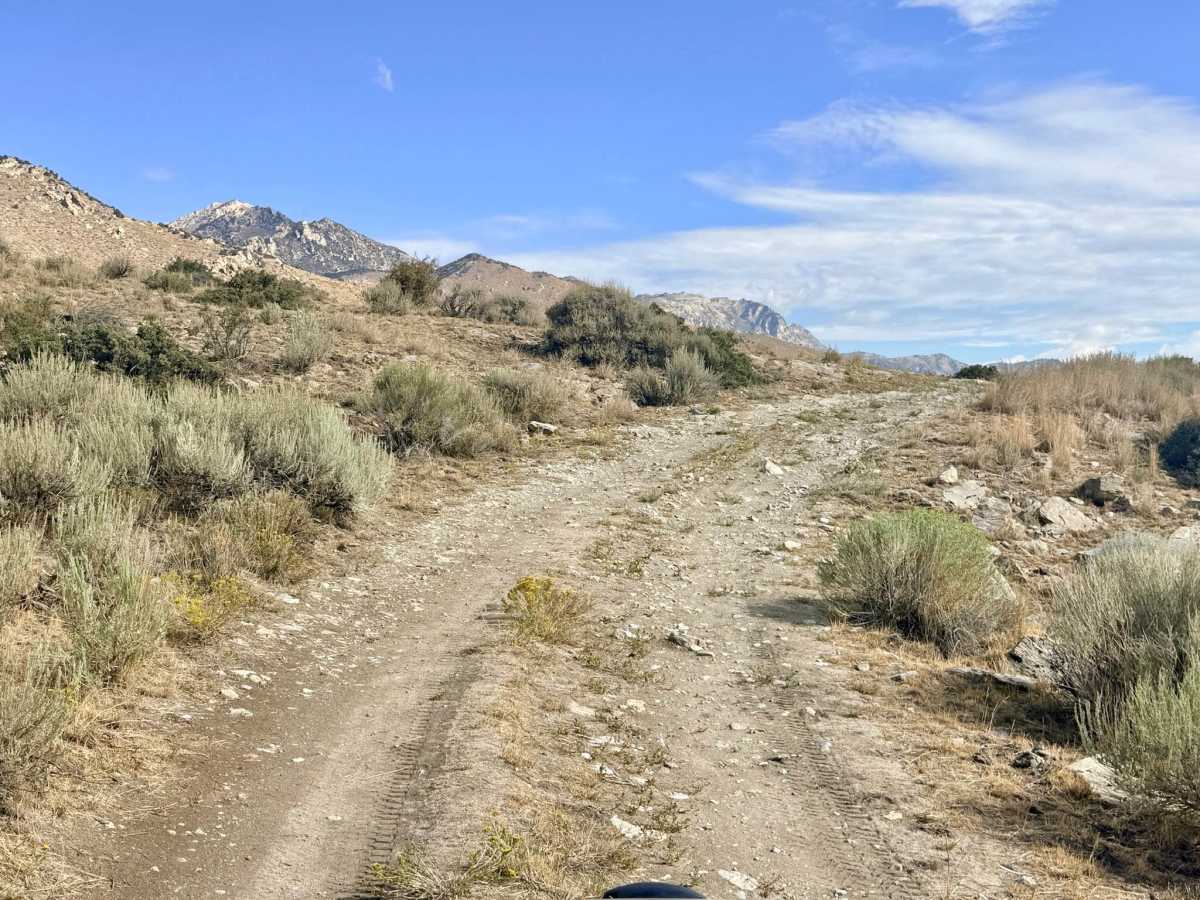
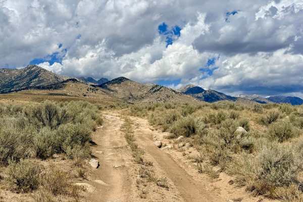
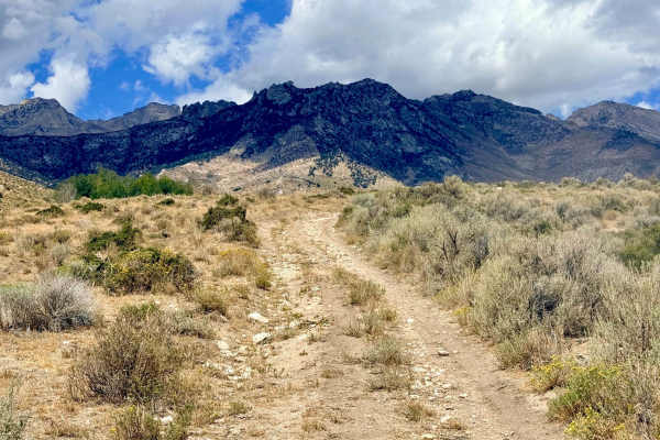
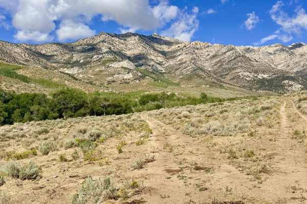
Access & Right-of-Way: This is the only public access into this specific network; respect the surrounding private property boundaries on adjacent Bureau of Land Management routes. The trail is narrow, so be prepared to yield and reverse for oncoming vehicles. This scenic access route serves as a gateway into this higher-elevation trail network (as surrounding Bureau of Land Management routes dead-end at private property). This easy drive rewards visitors with incredible, sweeping views of the mountain peaks and the sprawling valley below. As you wind up into the canyon, you are treated to interesting rock formations and, depending on the season, a plethora of vibrant wildflowers. A highlight of the trail is a mild, rocky creek crossing perfect for rinsing the dust off your tires. While there are dispersed campsites along the way, be aware that this is active ranching territory, and sites frequently show heavy signs of cattle use. There is absolutely no cellular service in this canyon. It is recommended to download offline maps before heading into this area.
Difficulty
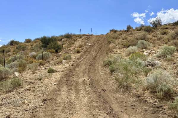
The trail has a few light rock sections, with the most "challenging" obstacle being a rocky creek crossing that is only about 8 inches deep. The trail is narrow in places, so you may need to back up to allow oncoming traffic to pass.
History
The canyons of the East Humboldt Range and Ruby Mountains have long been shaped by a dual legacy of grazing and prospecting. Routes like Lutts Creek originally evolved from primitive paths carved by Basque sheepherders and early cattle ranchers who drove their livestock into the cooler, water-rich mountain canyons during scorching Nevada summers. The historic ranching traditions established over a century ago are still very much alive today, as evidenced by the active grazing allotments and historic fencing you encounter along the trail.