Trail Overview
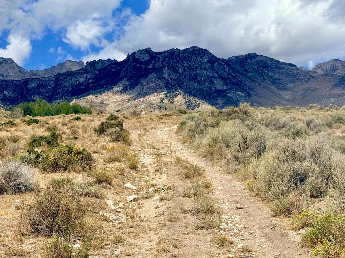
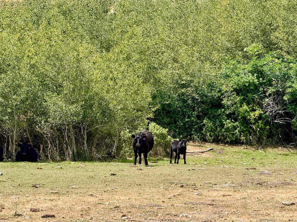
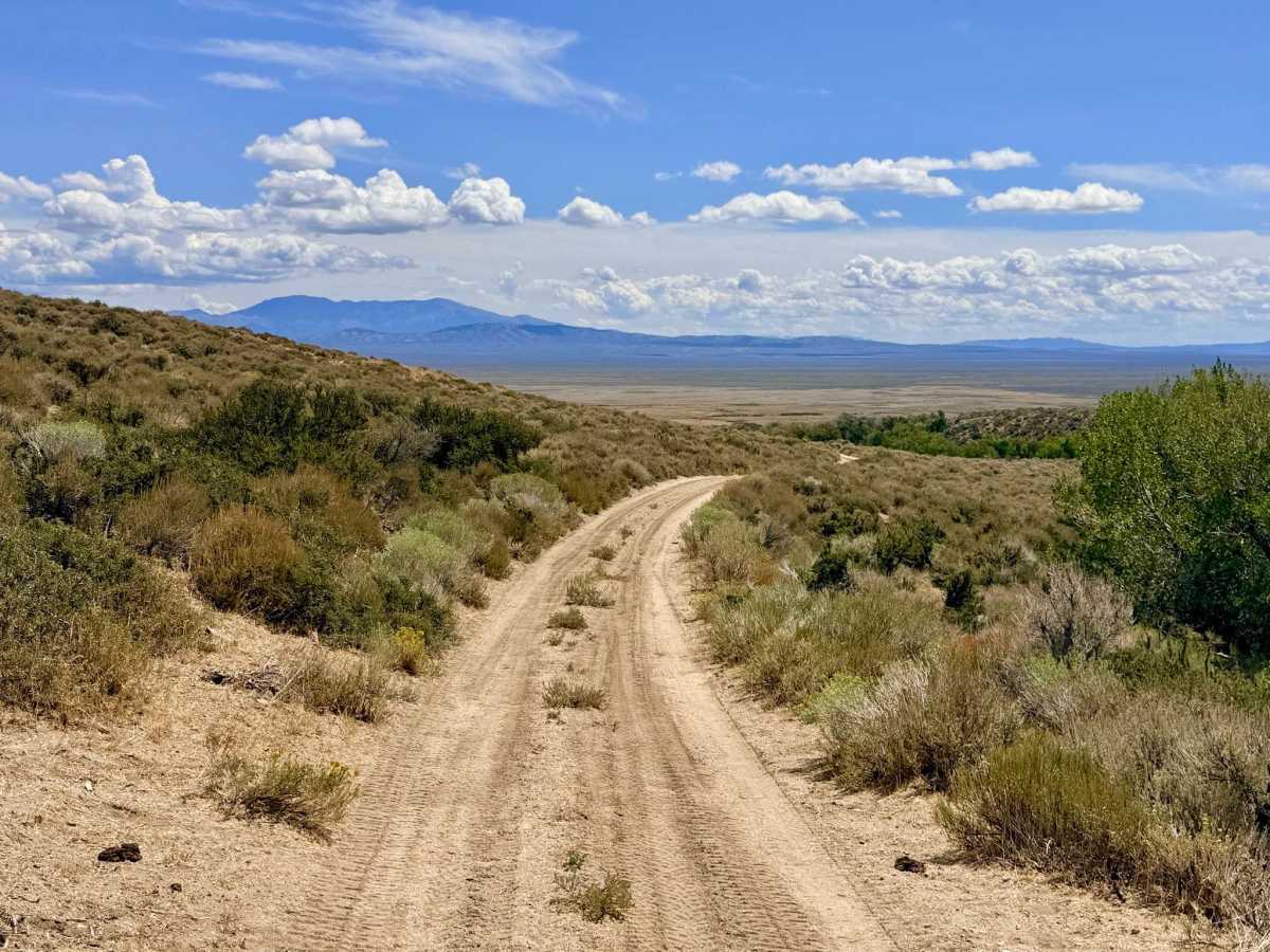
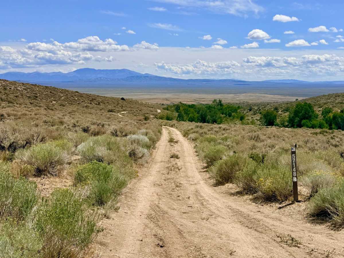
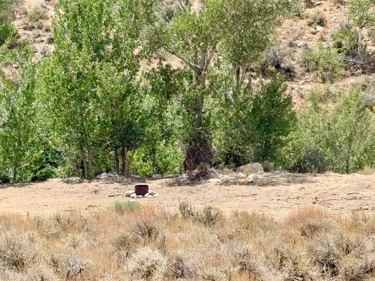
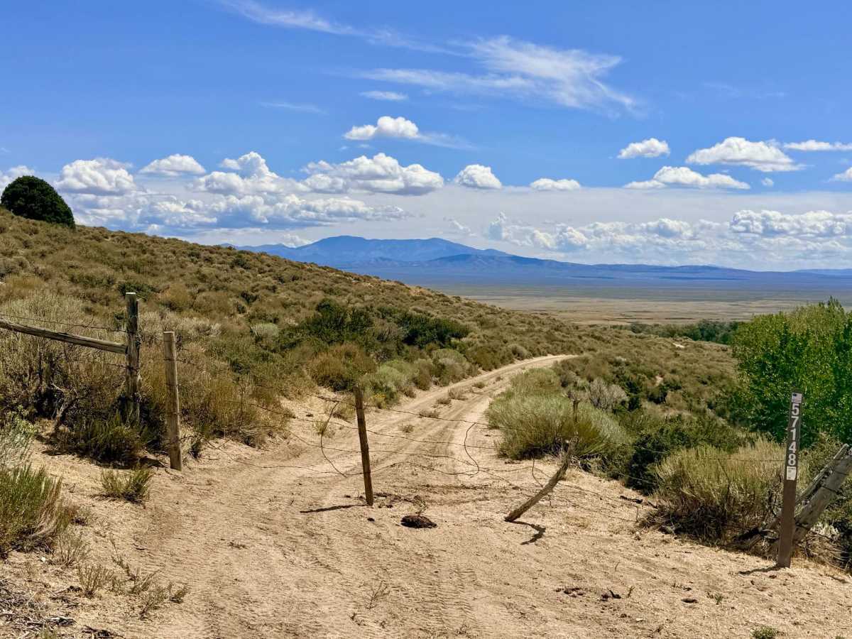
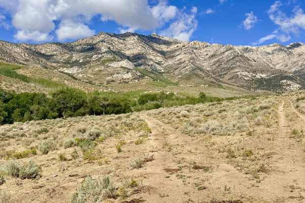
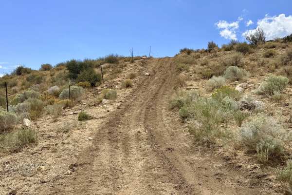
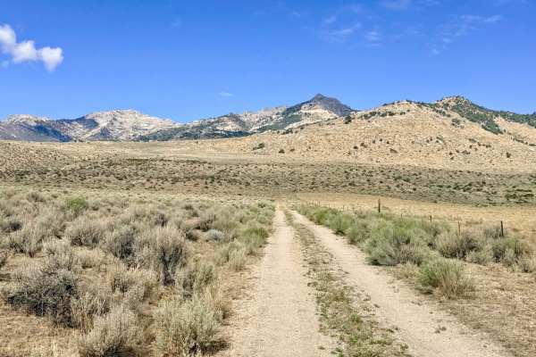
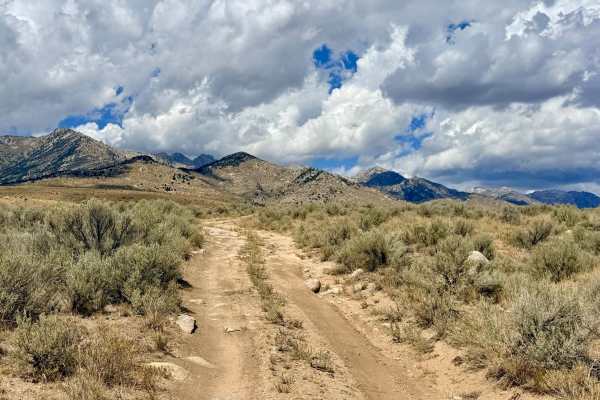
This scenic trail begins near Lutts Creek, creating access to excellent, shaded creekside dispersed campsites. After passing through an initial cattle gate, the trail cuts beautifully across the foothills. You'll wind your way through classic Nevada sagebrush meadows that explode with vibrant wildflowers during the right seasons. The elevated vantage point provides sweeping, dual perspectives of the towering mountain peaks above and the vast valley floor below. Drivers will need to pay attention as the route traverses a long, sustained off-camber section along the hillside. Ironically, despite its name, you won't find a flowing creek at Baxter Creek. The main trail eventually terminates, branching into a "spider web" network of smaller, unmapped paths. Avoid this route during or immediately after heavy rain. The long off-camber section combined with deep mud makes for a dangerous, sliding hazard that can render the trail impassable. As is standard for this area, there is absolutely no cellular service. Downloading offline maps his highly recommended.
Difficulty
The trail is generally easy, but it earns a 3 rating due to a notably long off-camber section. Caution: The dirt sections of this trail become incredibly slick and can be entirely impassable when muddy.
History
Routes like this that cut horizontally across the foothills were often established by early ranchers and Basque sheepherders moving livestock between seasonal grazing allotments. The "spider web" of smaller trails at the end is a common feature in this region, often representing decades-old offshoots created by prospectors methodically scouring the foothills for mineral deposits, or livestock branching out to forage.