Trail Overview
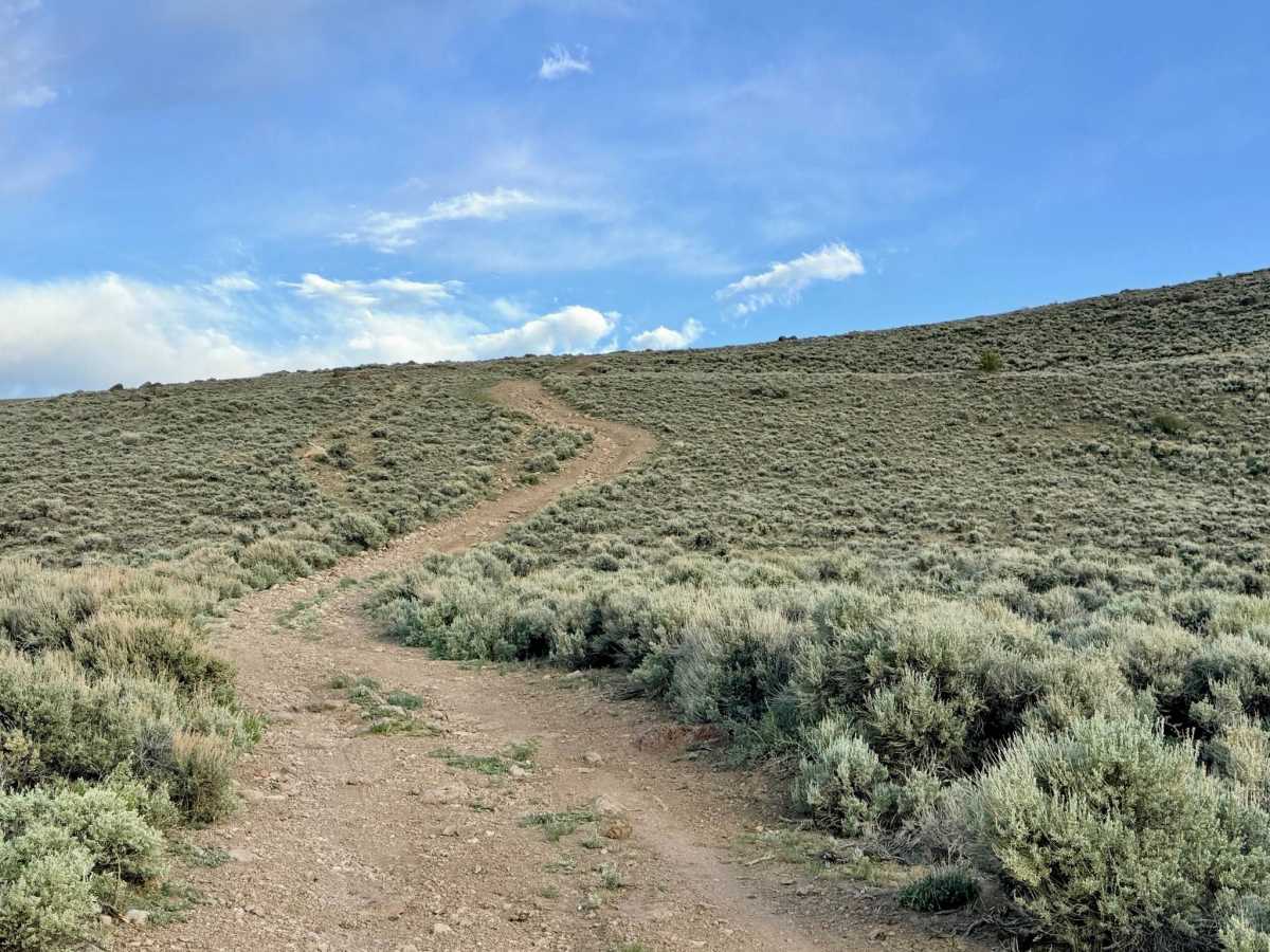
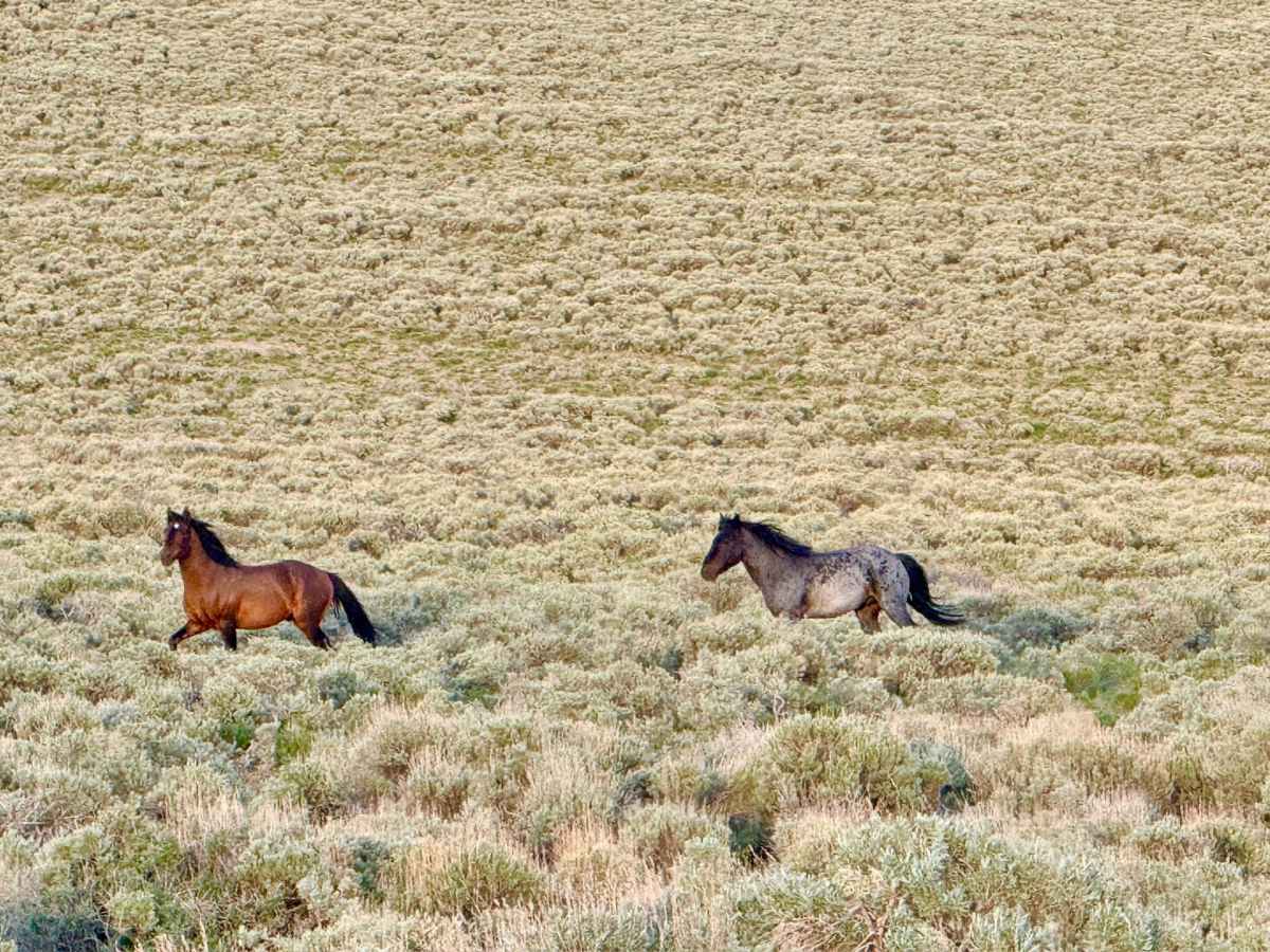
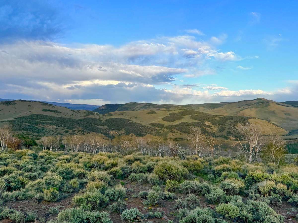
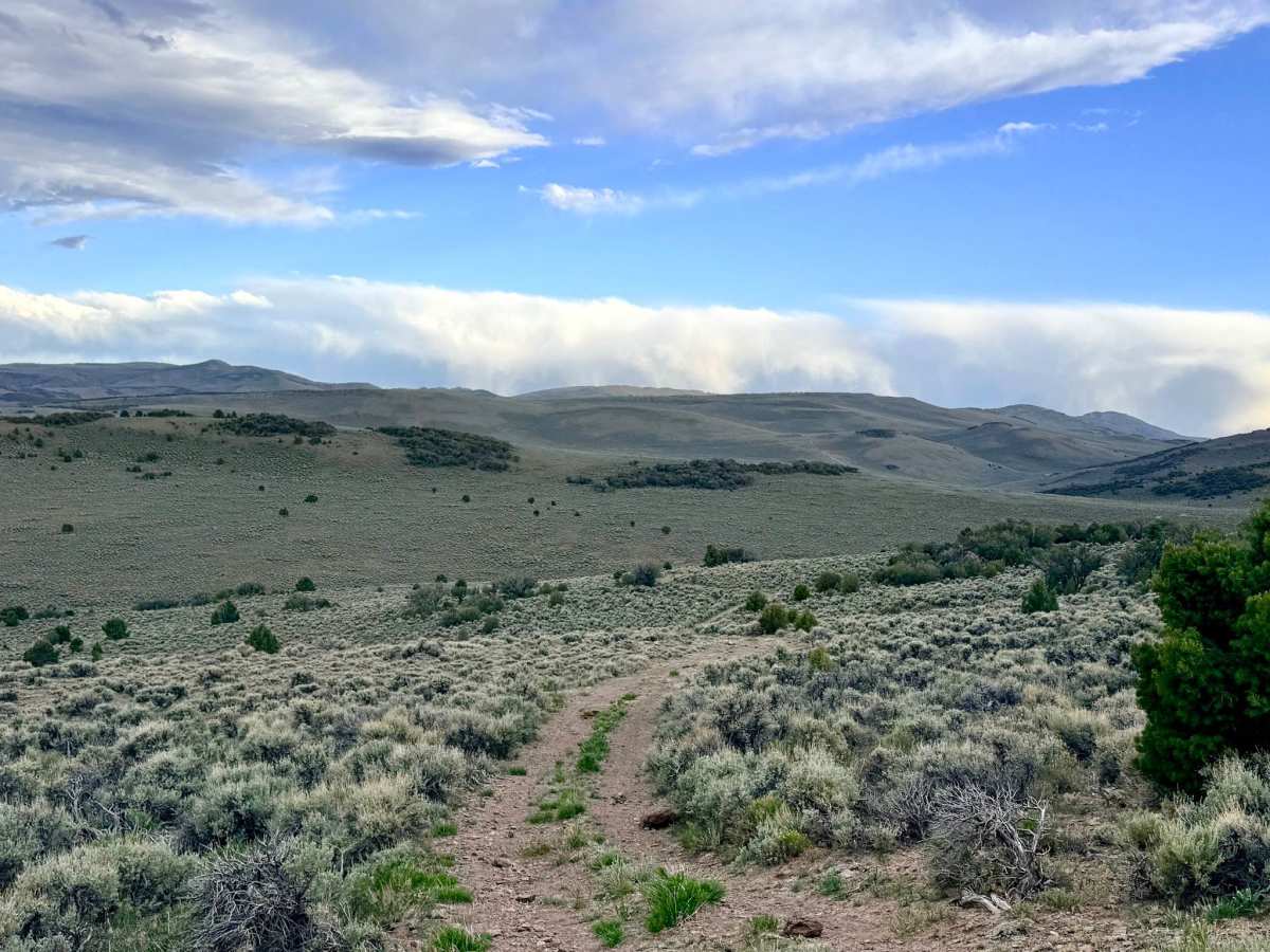
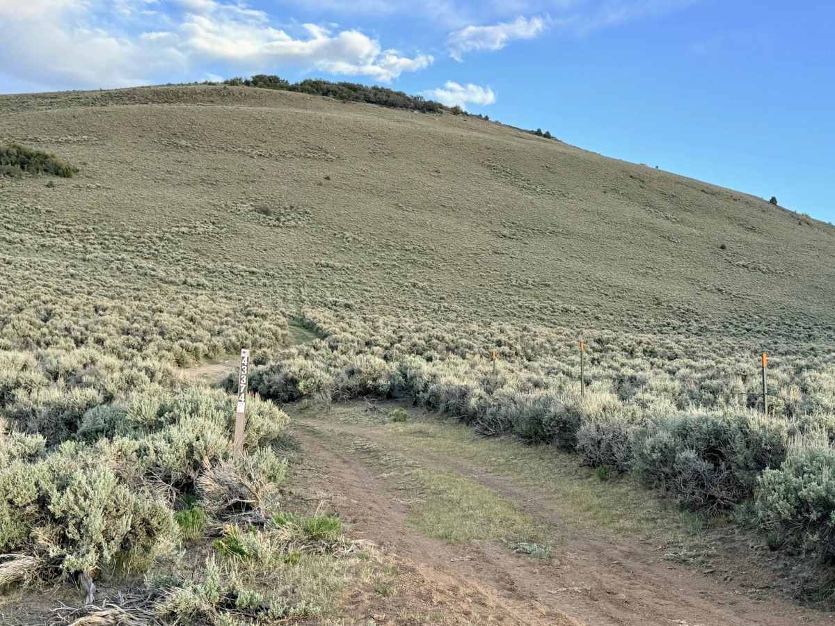
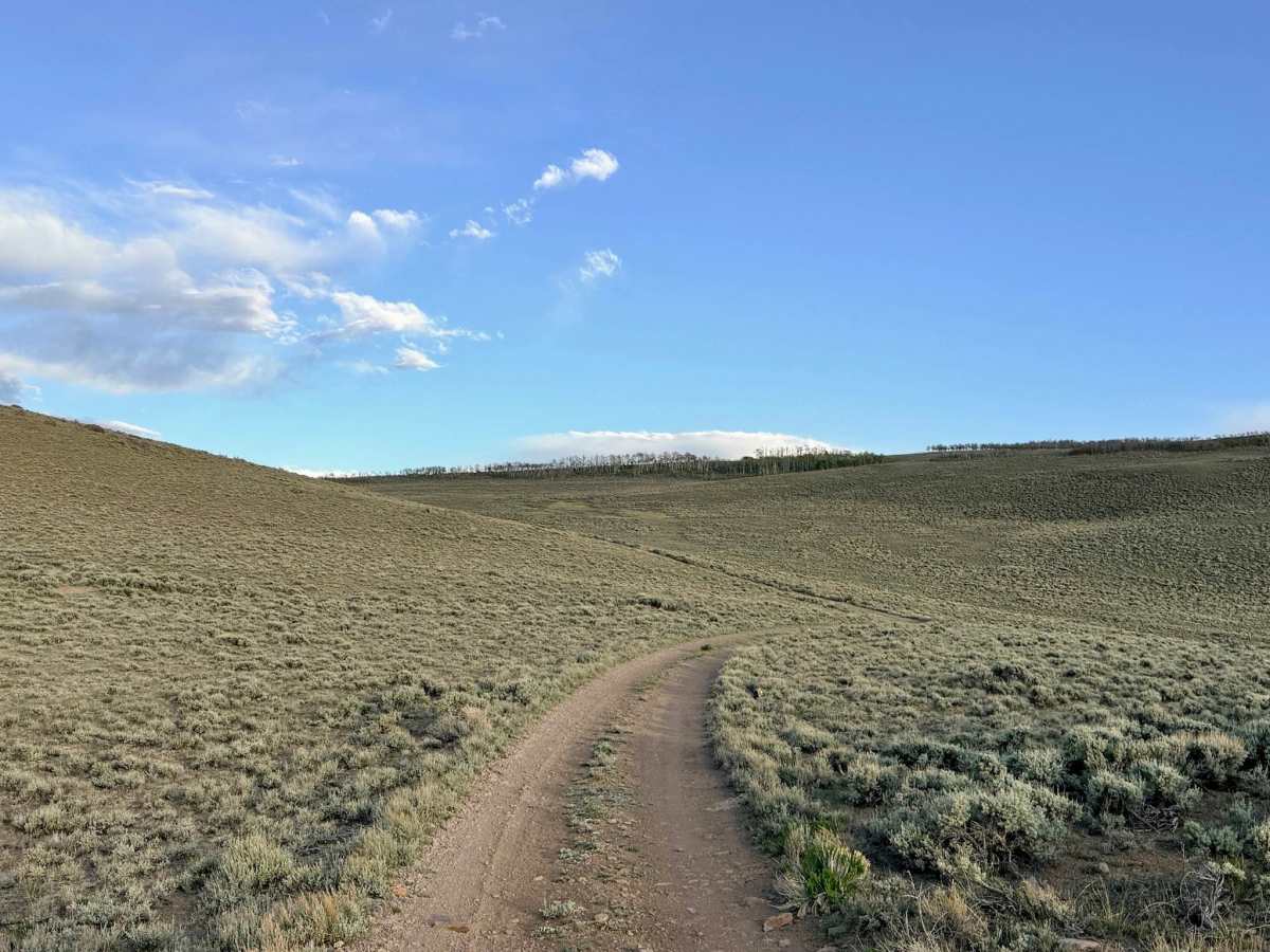
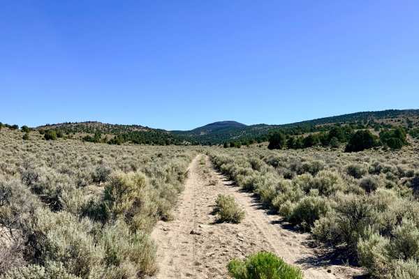
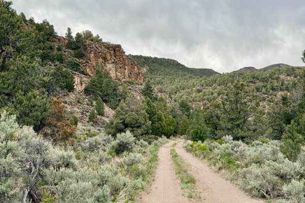
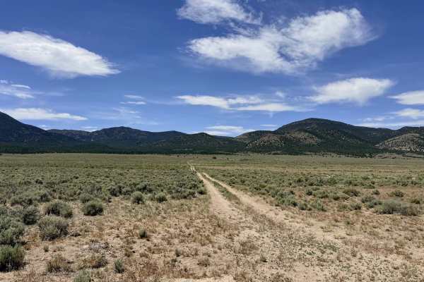
Butler Basin is a spectacular high-altitude trail that truly earns its reputation as a "hidden gem" of the Toiyabe Range. After navigating the ascent through Long Canyon, the trail transitions into a series of technical ridgeline tracks that wind through massive, open sagebrush meadows at elevations ranging between 8,000 and 9,000 feet. The sense of scale here is profound; you are treated to endless, unobstructed vistas of the Great Basin that seem to stretch into infinity. The driving is physically engaging and requires a vigilant eye. The route follows the natural "fingers" of the mountain, leading to various hilltops and ridgeline vantage points. Drivers will encounter several technical boulder gardens and "piles" of jagged rock that demand slow speeds and precise tire placement. Many of these boulders are approximately 12 inches high, requiring high ground clearance to avoid undercarriage impact. The basin is a primary stronghold for wild mustangs. While the horses themselves can be elusive, the trail is frequently littered with evidence of their presence. Keep your binoculars ready for large herds running across the high-country flats, along with Pronghorn Antelope that favor these thin-air meadows.
Precautions: The area features a complex network of small, unnamed offshoot trails. These spurs are excellent for finding a perfectly secluded campsite, but ensure you have a reliable GPS to navigate back to the main track. At 9,000 feet, the weather can shift in minutes. Even in mid-summer, temperatures can plummet after dark. Be prepared for high winds on the exposed ridges and check the forecast for afternoon thunderstorms. Expect zero cell service in Butler Basin. The extreme elevation and remote location ensure you are well beyond any signal. Download offline maps before leaving the Austin area.
Difficulty
Rated a 4 due to the combination of 12-inch boulder obstacles, sustained rocky stretches, and light off-camber tilts along the ridgelines. This is not a "fire road" experience; you will be "crawling" through multiple segments.
History
The "Butler" name is one of the most famous in Nevada history, most likely a tribute to Jim Butler, who sparked the 1900 Tonopah silver rush. In the late 1800s, high basins like this one were the most prized "summer ranges" in the territory. While the valley floors were scorched by the sun, the 9,000-foot meadows of Butler Basin provided the cool air and resilient bunchgrass needed to sustain the massive herds of cattle and the 20-mule teams that built the state.