Trail Overview
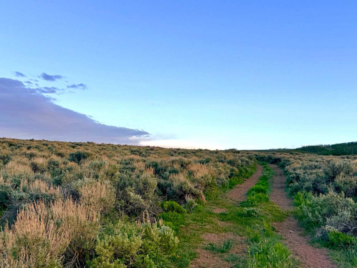
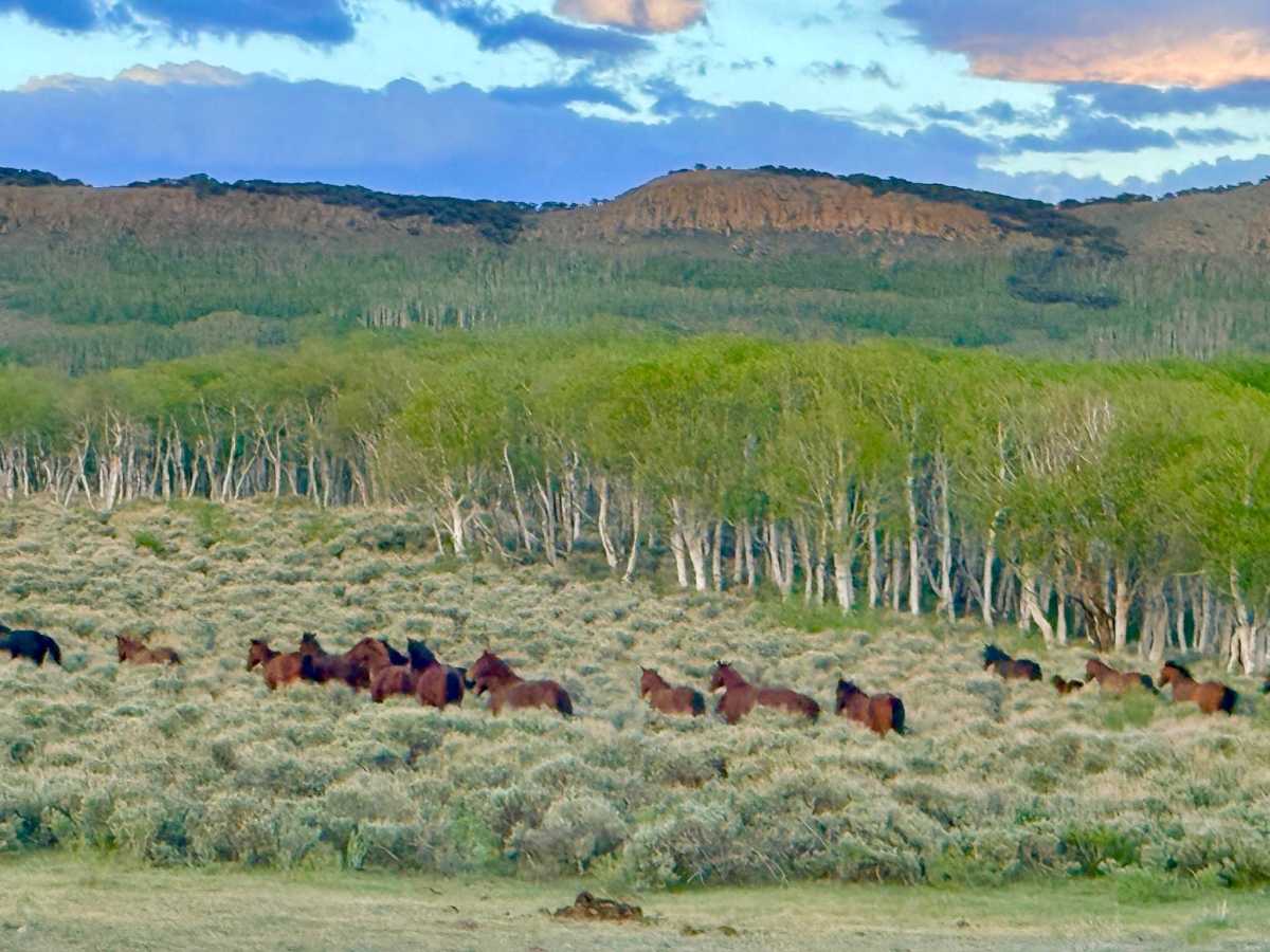
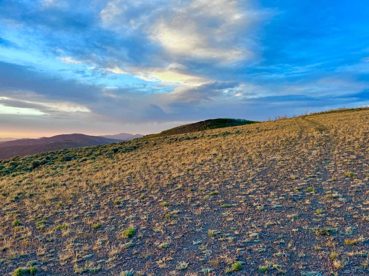
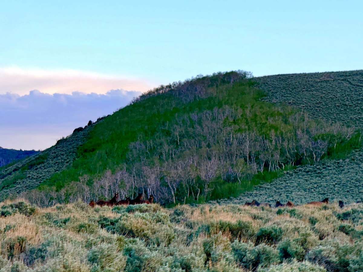
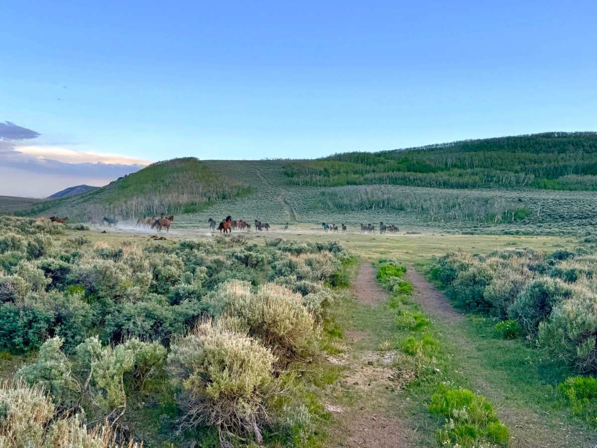
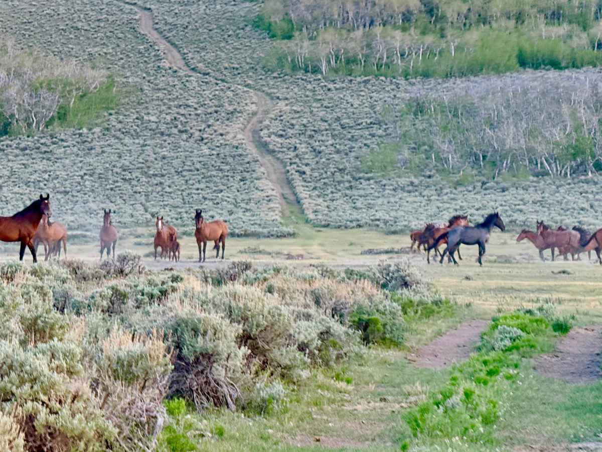
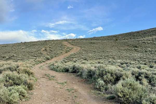
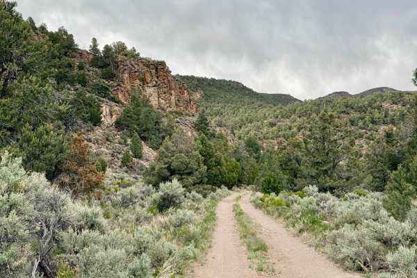
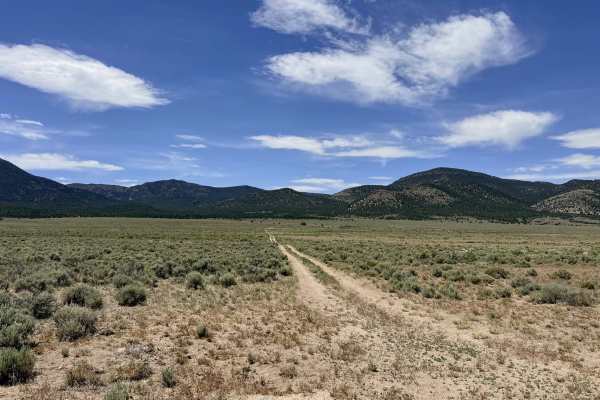
Officially called Need A Name by the Forest Service, this trail would be better called "Wild Horse Ridge". It is a high-altitude out-and-back trail that truly lives up to its reputation as a "hidden gem" of the district. This route carries explorers across a dramatic ridgeline, offering a front-row seat to the raw beauty of the Great Basin. As you navigate the track, you’ll pass through a varied botanical landscape, ranging from resilient sagebrush to delicate, small groves of both ancient and new-growth Aspen trees that shimmer in the mountain breeze. The absolute highlight of this journey is the end: an outstanding 270-degree viewpoint offering an unobstructed panoramic view of the surrounding mountain ranges and the vast desert valleys below. The sense of being on the "edge of the world" is palpable here. The area is a stronghold for wildlife; travelers are highly likely to encounter bands of wild mustangs silhouetted against the horizon. At the very end of the trail is a stunning, albeit somewhat uneven, primitive campsite perfect for those who prioritize a world-class view over a perfectly level pad.
You may see two bars of LTE service at the very top of the ridge, but it is notoriously unreliable and "almost useless" for data. Download offline maps before leaving the Austin area.
Difficulty
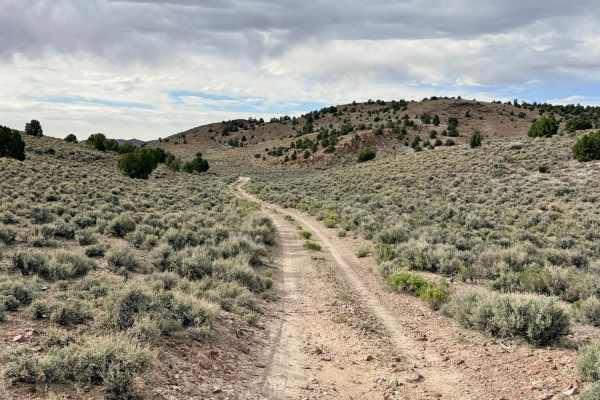
Rated a 3 due to the combination of embedded boulders in the track and narrow passages through the Aspen groves. Drivers should be prepared for a bumpy ride and stay alert for sharp rocks that may require careful tire placement to avoid undercarriage contact. The trail becomes quite narrow as it winds through the timber. Arizona pinstriping (paint scratches) is possible as the Aspen branches frequently encroach upon the path.