Trail Overview
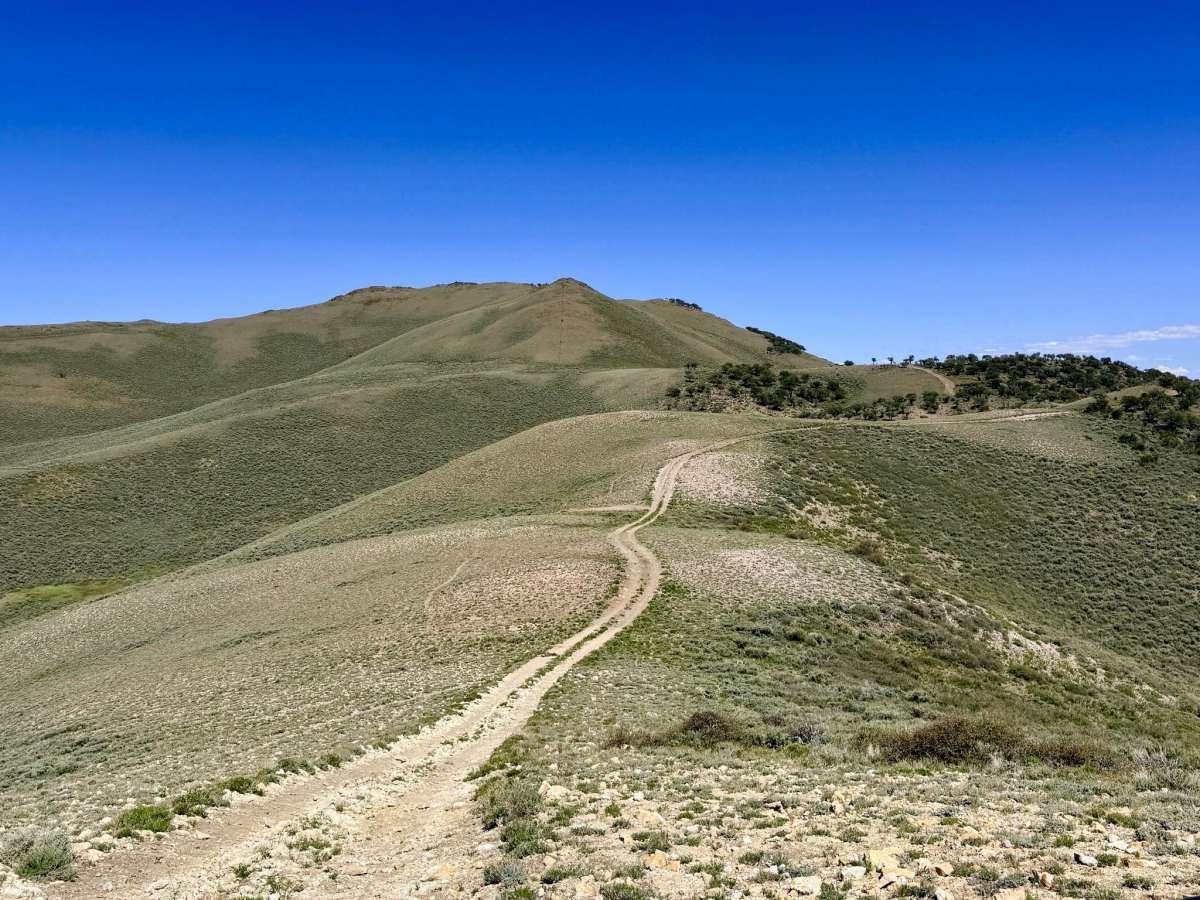
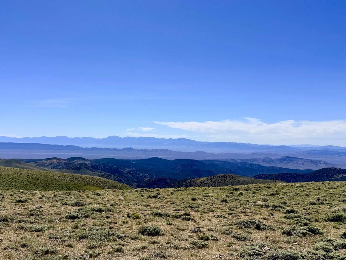
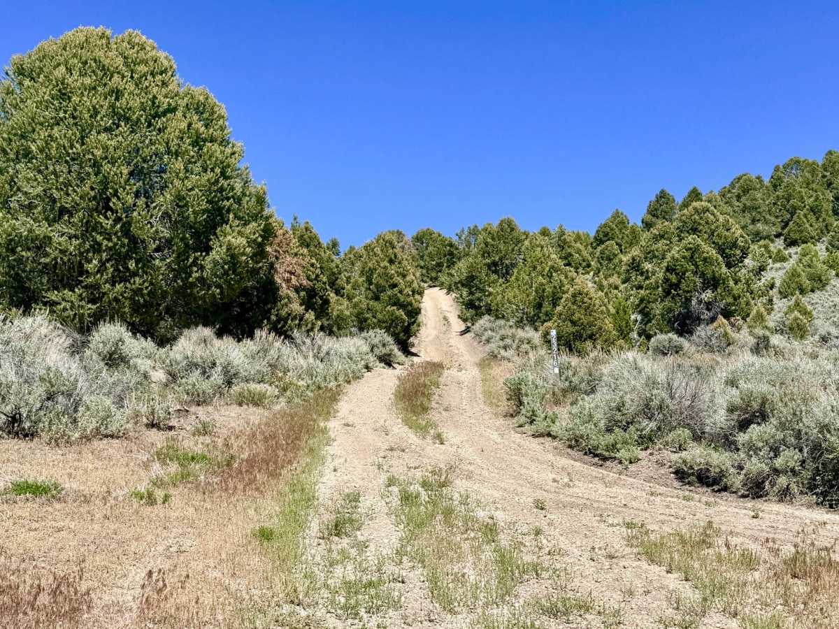
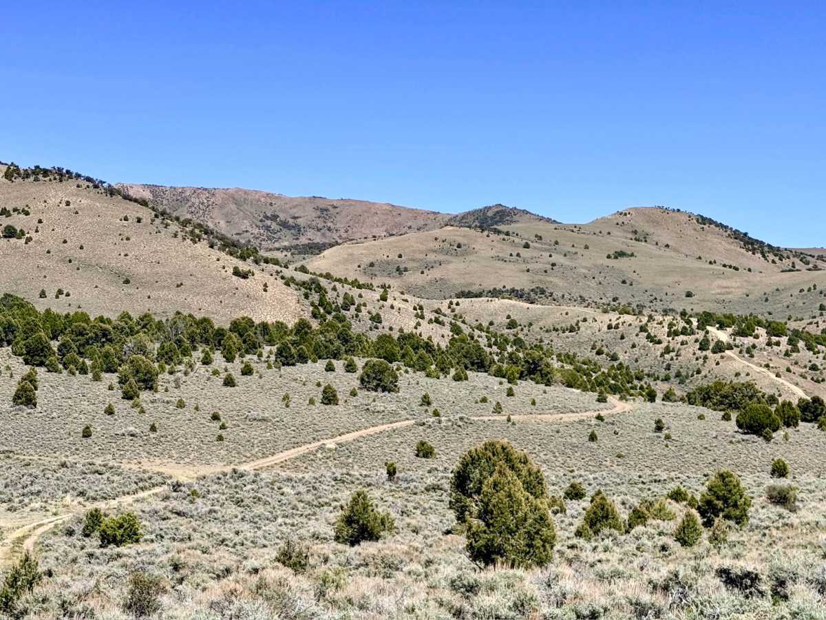
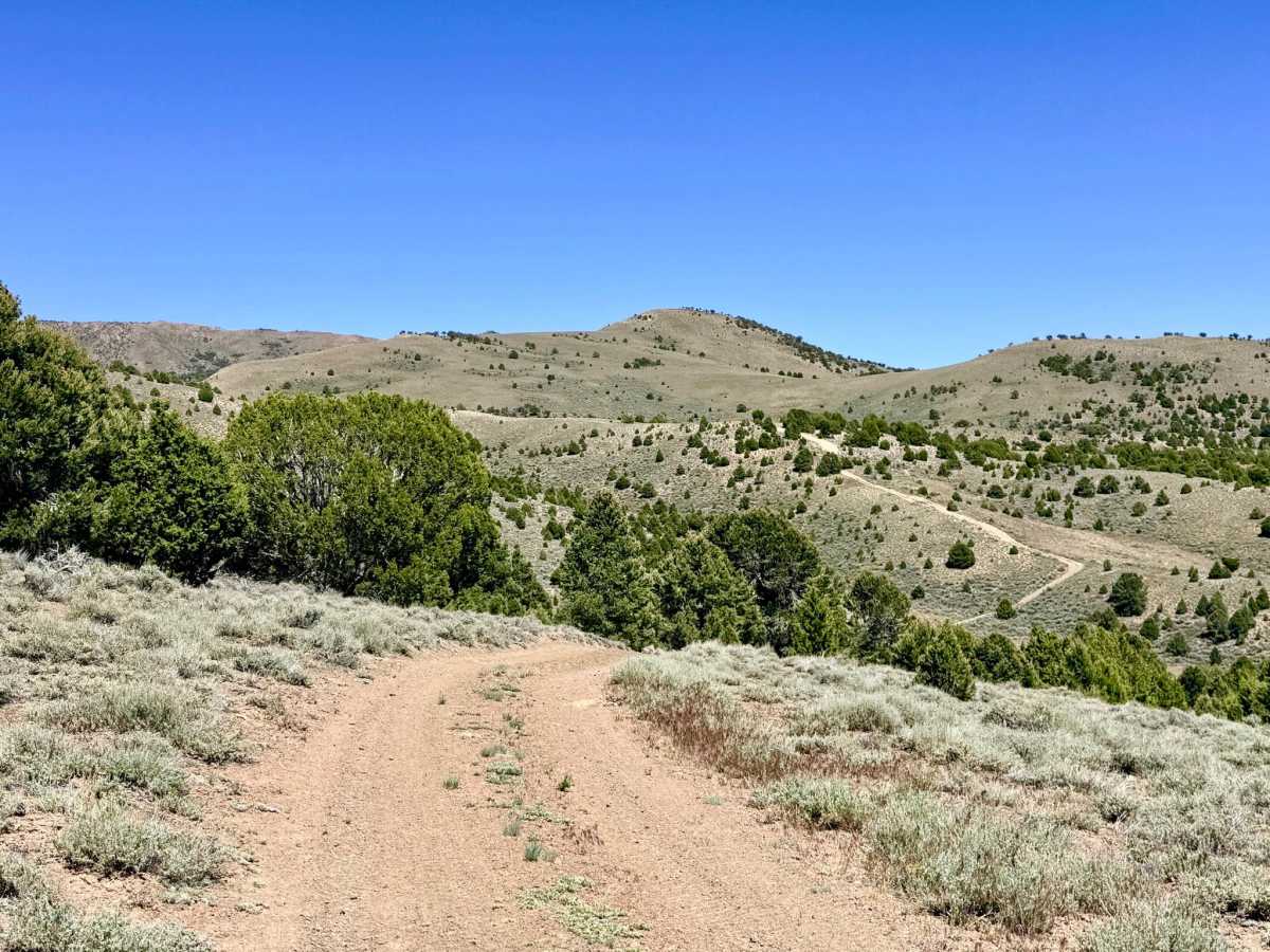
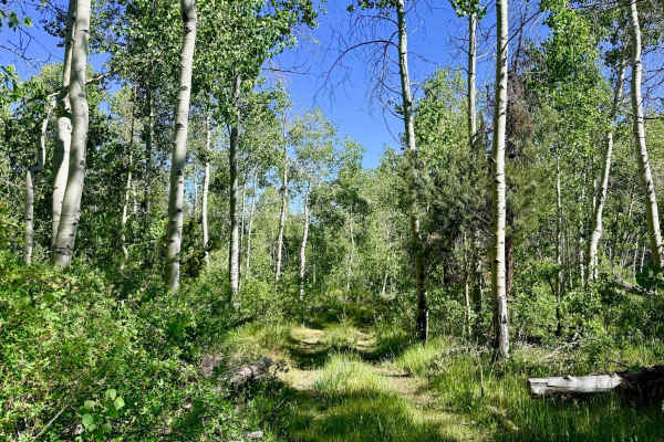
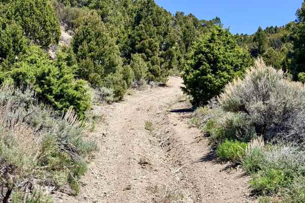
This super-fun and technical route serves as a high-altitude tour of the rugged Monitor Range, twisting and turning through a series of environments. You will transition from dense pinyon-juniper forest into high-elevation fields of tall, golden bunchgrass and silver sagebrush. The drive offers a rhythmic "roller coaster" feel; as you crest each new ridgeline at elevations exceeding 9,000 feet, you are rewarded with jaw-dropping, 360-degree vistas of the Great Basin ripples stretching toward the horizon. The trail is a paradise for those who enjoy exploration. A complex web of offshoot trails zigzags through the hills, many of which lead to perfectly secluded, high-vantage dispersed campsites or loop back to the main track. As you reach the highest reaches of the range, you will eventually arrive at a broad, rolling plateau, the actual "Big Flat", where the air is thin, and the silence is absolute. This is prime territory for Nevada's iconic wildlife; keep a sharp eye out for large bands of wild mustangs and Pronghorn Antelope that favor these high-alpine meadows during the summer months. At over 9,000 feet, weather conditions can change in an instant. Snow can block this route well into the summer, and afternoon lightning is a serious hazard on the exposed ridgelines. Ensure you are prepared for freezing temperatures, even in mid-summer. Expect zero cell service for the duration of this trail. The extreme elevation and remote position ensure you are well beyond any signal. Download offline maps before leaving the Tonopah area.
Difficulty
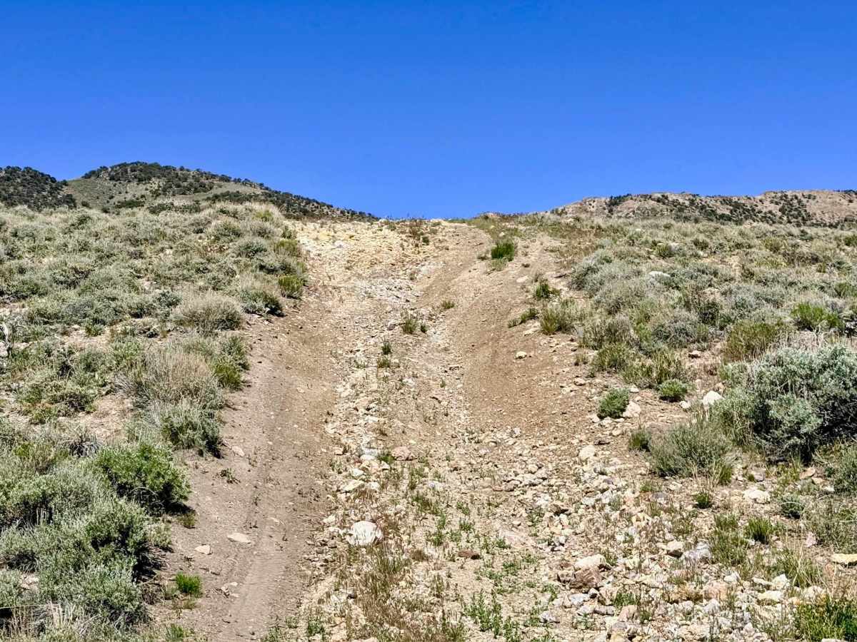
Rated a 4 due to the combination of long, sustained climbs and descents over loose volcanic rock. You will navigate several deep washouts and sustained off-camber segments that will test your vehicle's stability and traction. Maintaining a steady, controlled pace is essential on the "roller coaster" sections to avoid hard impacts at the bottom of the gullies.