Trail Overview
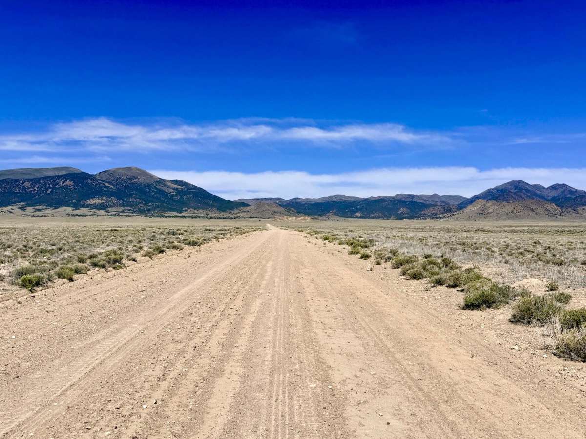
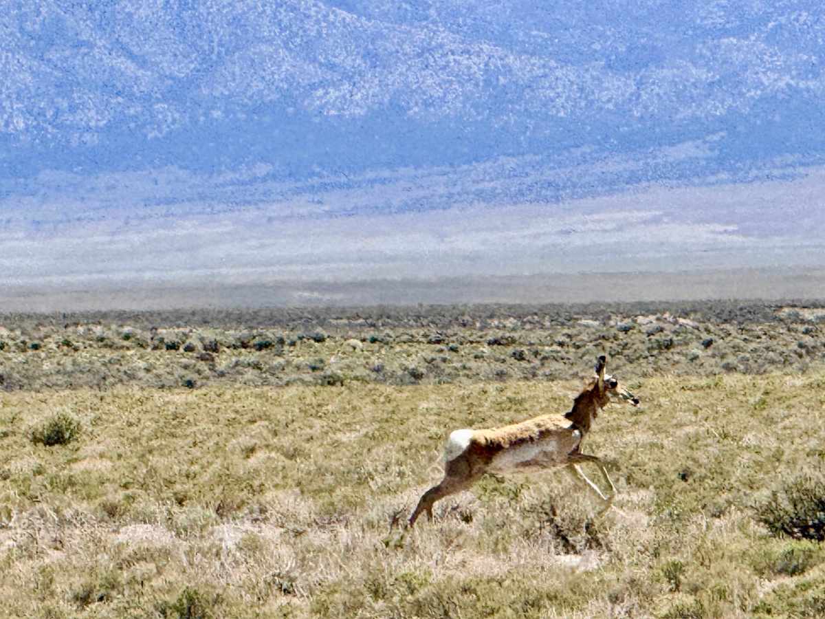
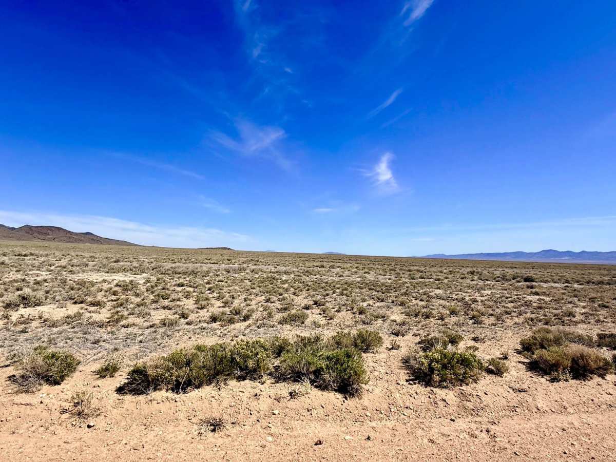
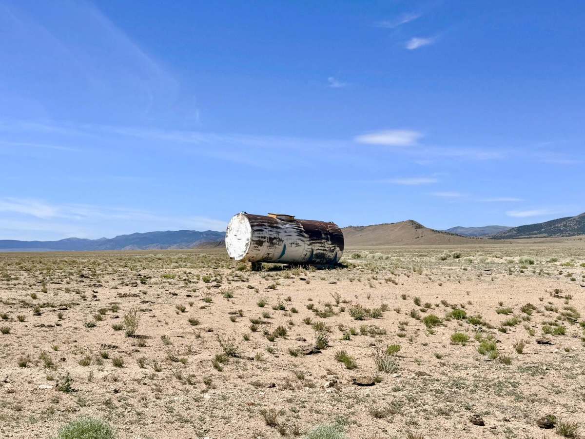
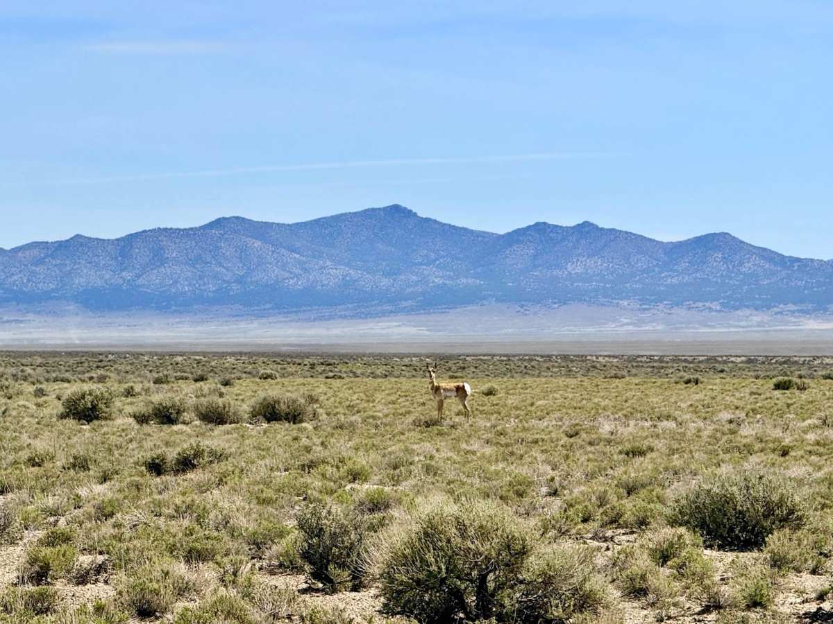
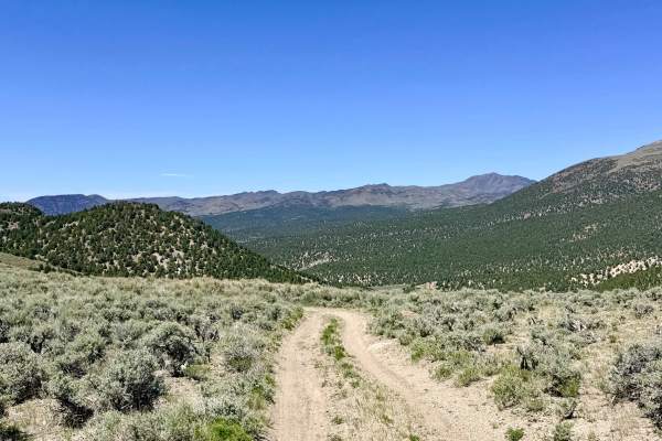
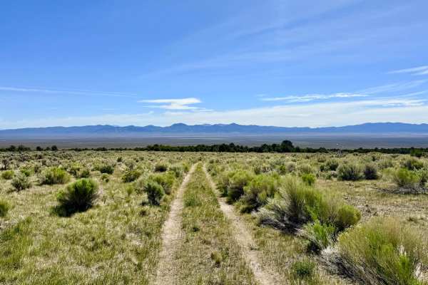
The Antelope Valley Connector is an exceptionally smooth and well-maintained high-desert thoroughfare that serves as a vital east-west link across the expansive Antelope Valley floor. If you are looking for a break from the technical rock-crawling of the mountains, this "expressway" provides a low-stress way to cover ground quickly. The drive is defined by its staggering sense of scale; as you cruise the wide, graded surface, you are treated to expansive, 360-degree views. To the west, the rugged Monitor Mountains frame the horizon, while to the east, the Antelope Range and the prominent White Cloud Peak provide a dramatic skyline. True to its name, this trail is one of the premier corridors in Nevada for spotting Pronghorn Antelope. If you traverse the connector during the early morning or late afternoon, your odds of seeing these lightning-fast animals racing parallel to your vehicle are incredibly high. This is active ranching territory. Livestock frequently cross the track; please maintain a safe speed to allow for sudden stops. The road provides a reliable, fast transit route for those heading to Eureka for essential provisions, fuel, and a taste of civilization before diving back into the wilderness. Expect zero cell service in the heart of the valley. While the terrain is flat, you are well beyond the reach of the Highway 50 towers. Download offline maps before leaving town.
Difficulty
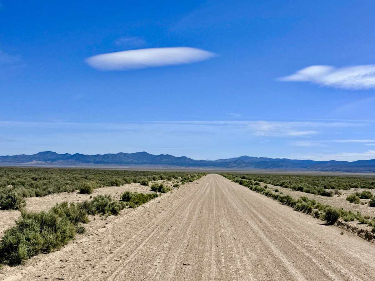
Rated a 1 for its wide, professionally graded gravel surface. This is one of the few dirt routes in the area where passing oncoming traffic is effortless, and a steady cruising speed can be maintained. Suitable for all vehicle types, including 2WD sedans, low-clearance adventure vans, and heavy overland trailers.

 Offroad