Trail Overview
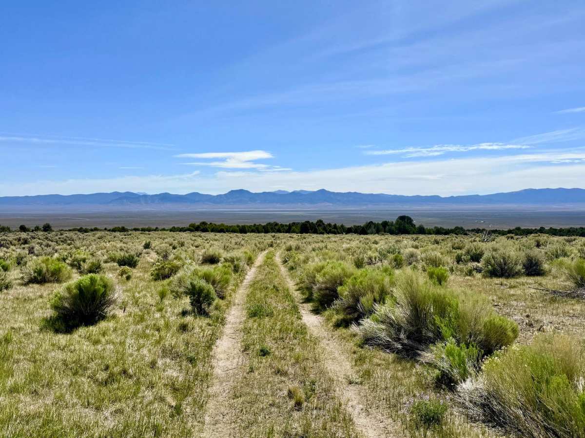
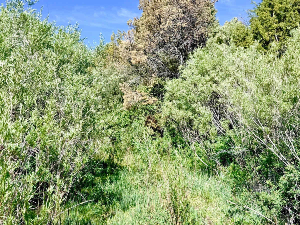
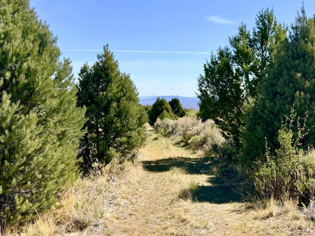
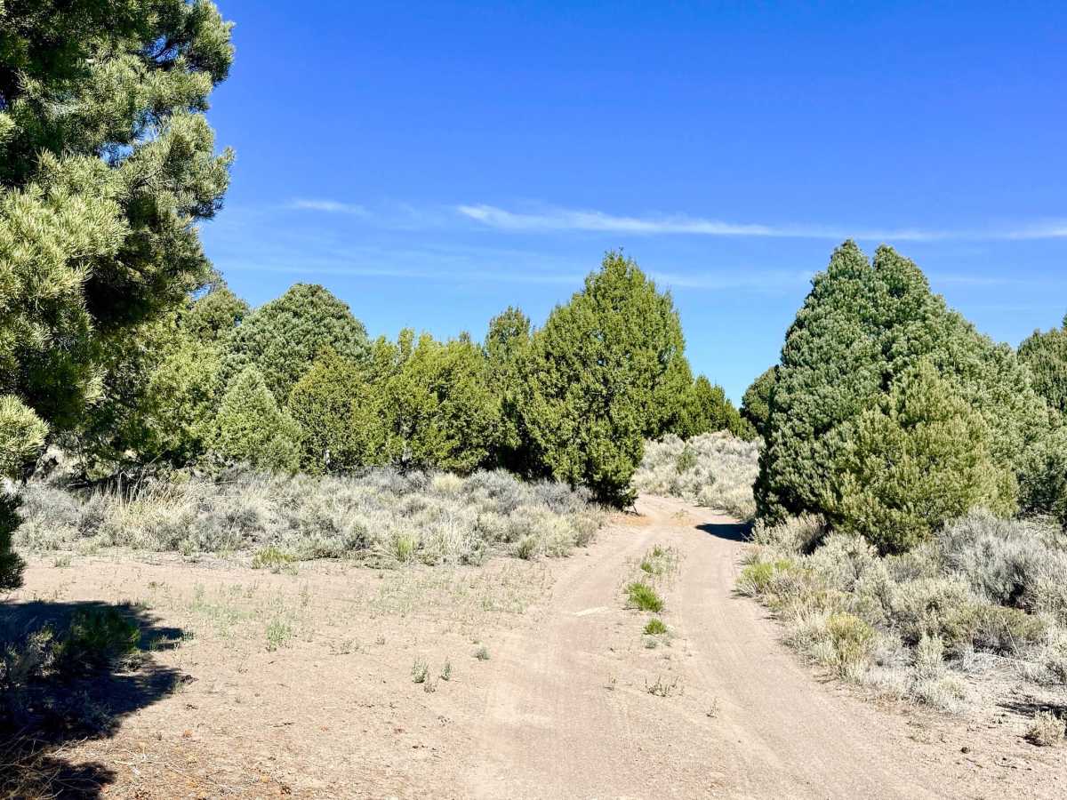
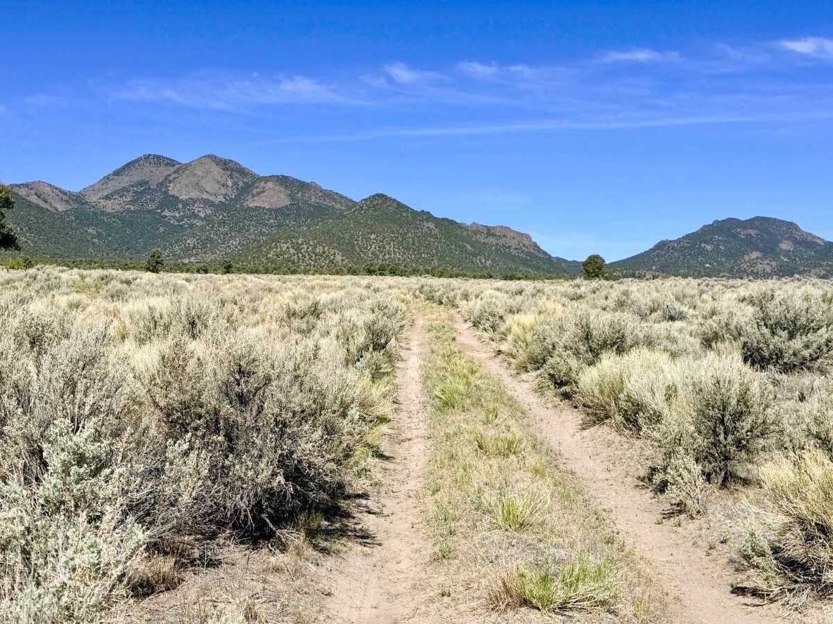
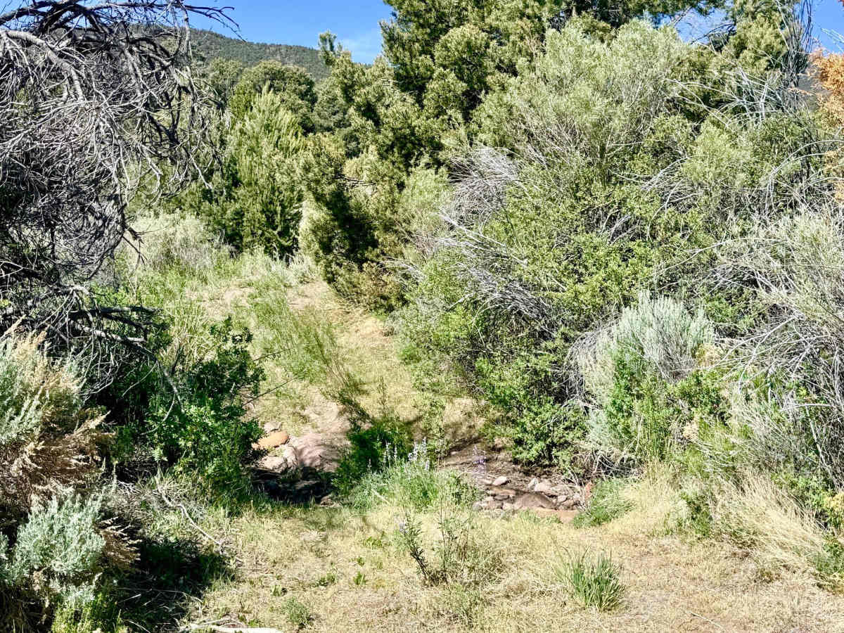
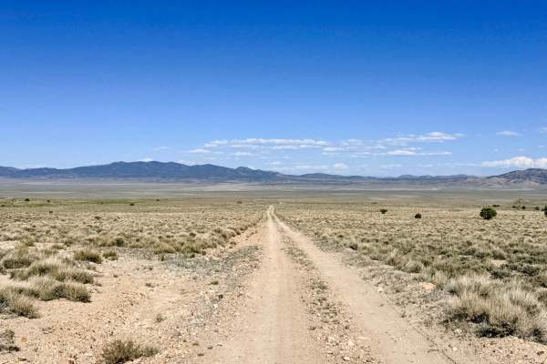
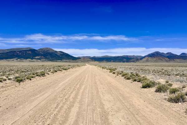
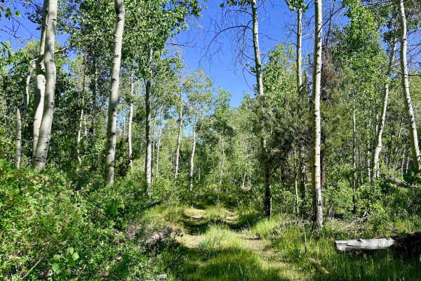
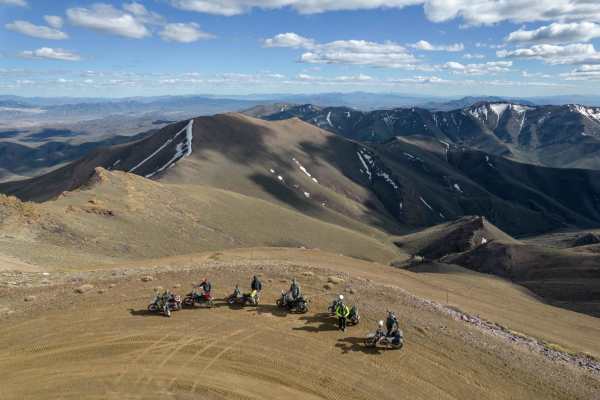
This is a pleasant and lightly traveled out-and-back trail that carries explorers from the sweeping flats of Antelope Valley into the technical folds of the mountain foothills. The route offers a classic Nevada "oasis" experience: as you gain elevation, the dry sagebrush gives way to a corridor of greenery. Near the upper terminus, the presence of lush vegetation suggests the proximity of the creek’s source, which may carry water during the spring runoff or after summer monsoons. The journey is a visual treat, particularly on the return trip, when you are rewarded with outstanding panoramic views of the Antelope Valley splaying out toward the horizon. Along the way, the trail is decorated with vibrant high-desert wildflowers in the spring. While the drive is generally easygoing on dirt, it is physically engaging, featuring technical wash transitions and several rock garden segments. As you reach the higher reaches of the canyon, the trail narrows significantly, becoming a tight corridor of encroaching brush and timber that offers a sense of deep-mountain seclusion before eventually becoming impassable for larger vehicles. The trail ends abruptly in an overgrown thicket. While ATVs and motorcycles may be able to push further toward the creek source, full-size rigs should use the last available clearing to turn around. This trail is an excellent choice for quick-access dispersed camping. Several clearings with established fire rings are located near the highway. Expect zero cell service for the duration of this trail. The foothills create a total signal dead zone. Download offline maps before leaving the Austin or Highway 50 corridor.