Trail Overview
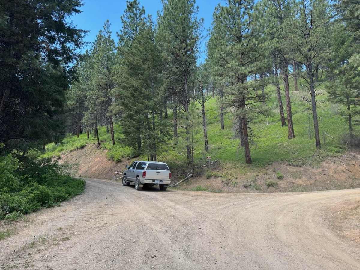
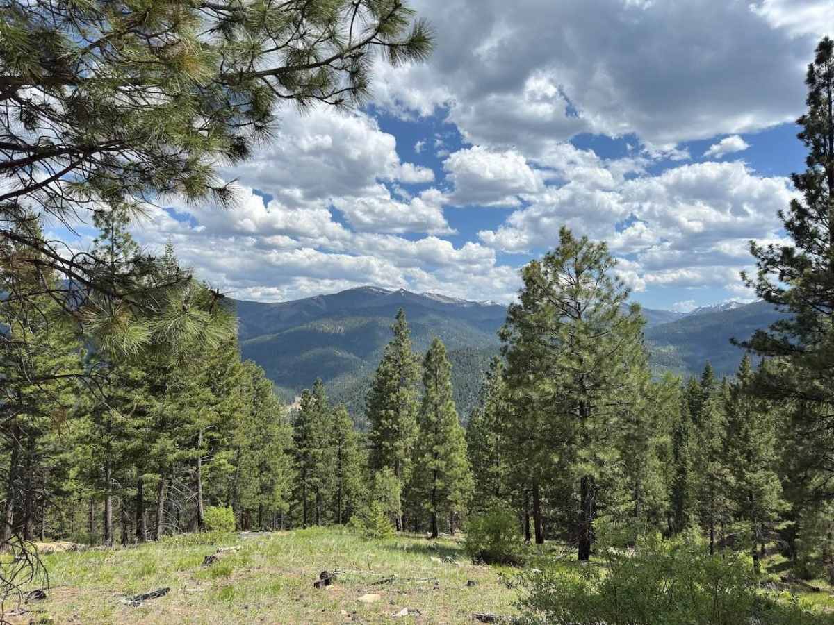
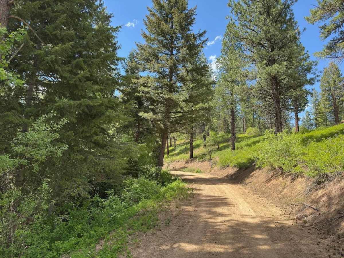
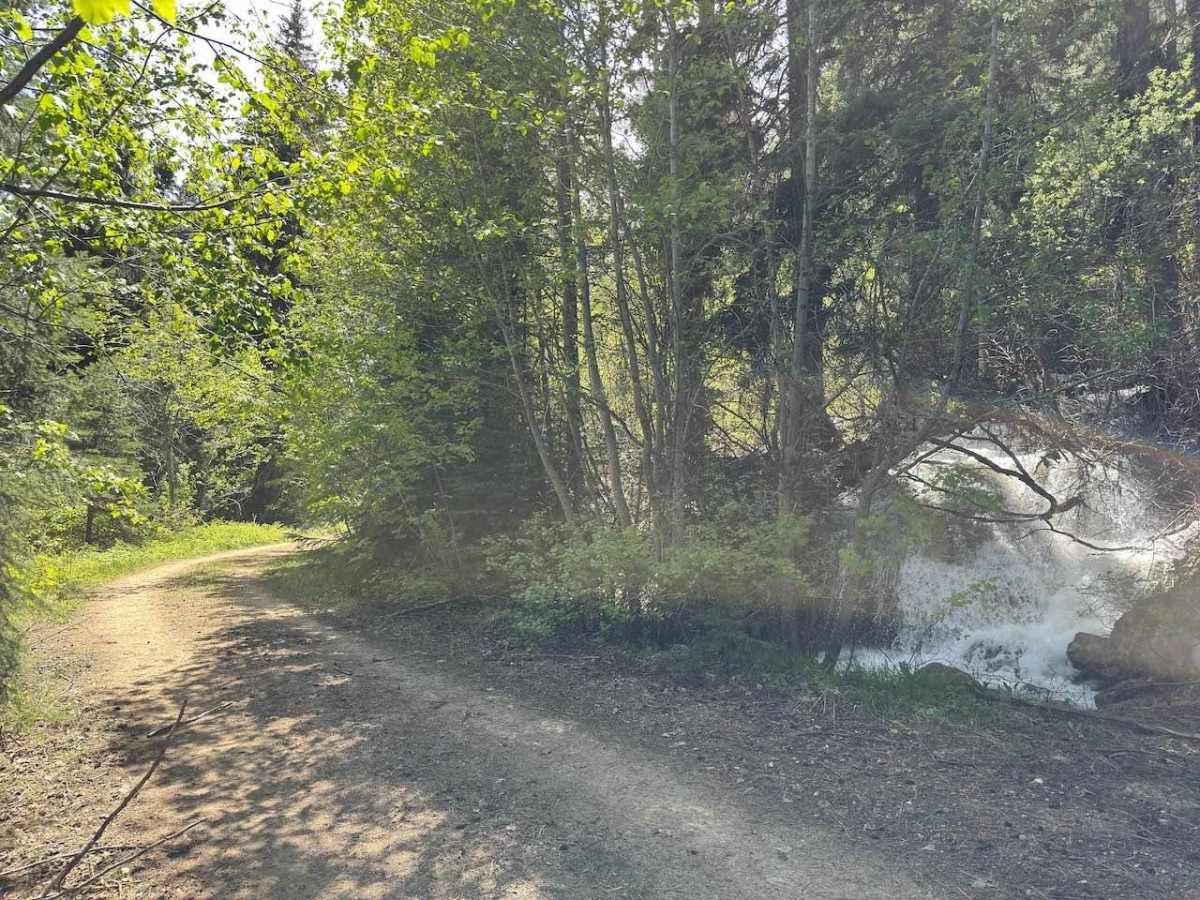
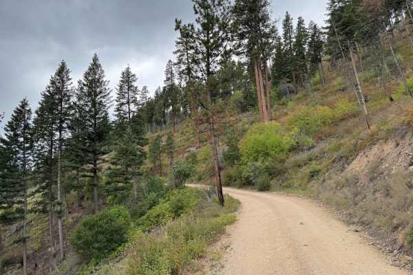
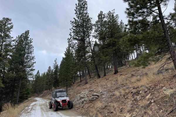
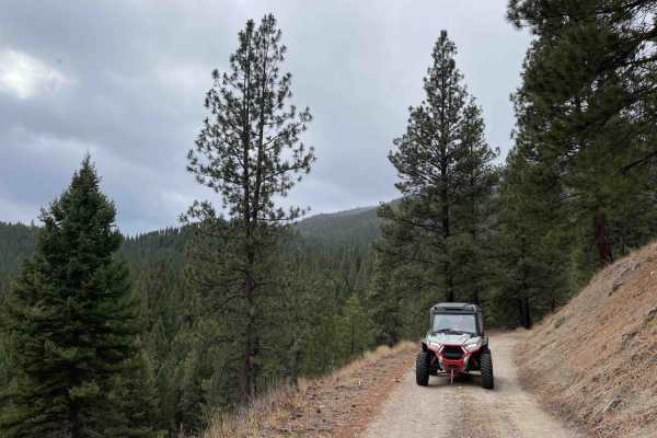
Pierce Creek is a short trail up the West Fork of the Bitterroot Valley. This trail is an easy ride or drive in any vehicle as long as the snow is melted. The trail is about one full-size vehicle wide for the most part, but there are plenty of areas to pass oncoming vehicles. There are nearly zero potholes on this trail, no ruts, and very few rocks as well, making this a very smooth trail. The surface of the trail is mostly dirt, so be cautious of mud after a heavy rain or snowmelt. Pierce Creek is very easy to find, as well as follow. There is a lot of wildlife in this area, and there are a few decent views of the mountains to the east. The condition of the trail is very consistent throughout, so what you see at the beginning is what you get for the whole thing. There are just a couple of spots that get narrow due to overgrown trees and bushes, however, you can still get through without scratching a full-size pickup. The trail ends just after the three-mile mark due to many large fallen and uprooted trees. This is an in-and-out trail, so you will have to go out the way you came in.
Difficulty
Very easy trail with no obstacles, making it very smooth. Nearly all vehicles should be able to drive this trail. Although the trail is mostly one vehicle wide, there are plenty of places to pull off and pass other vehicles.