Trail Overview
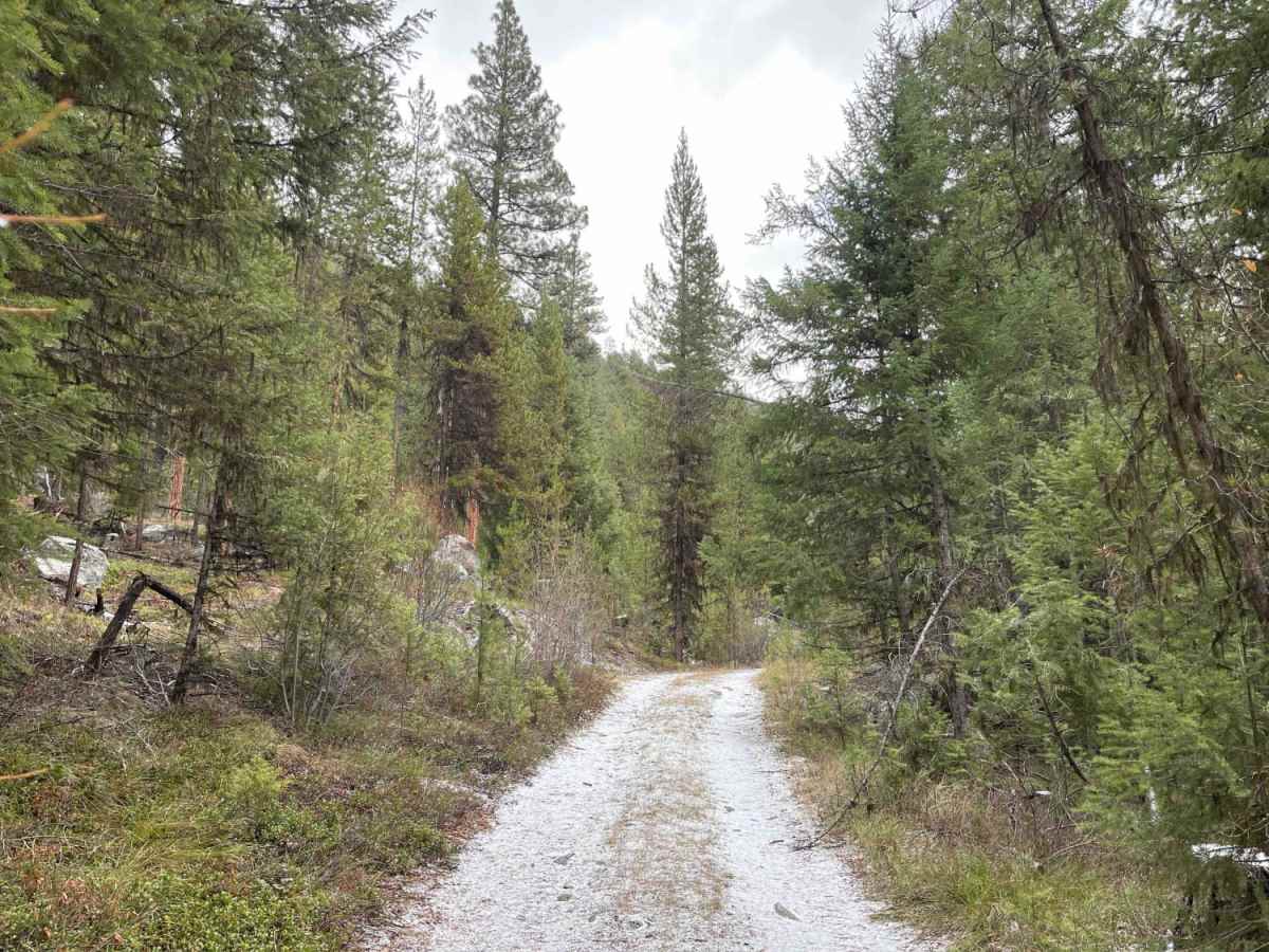
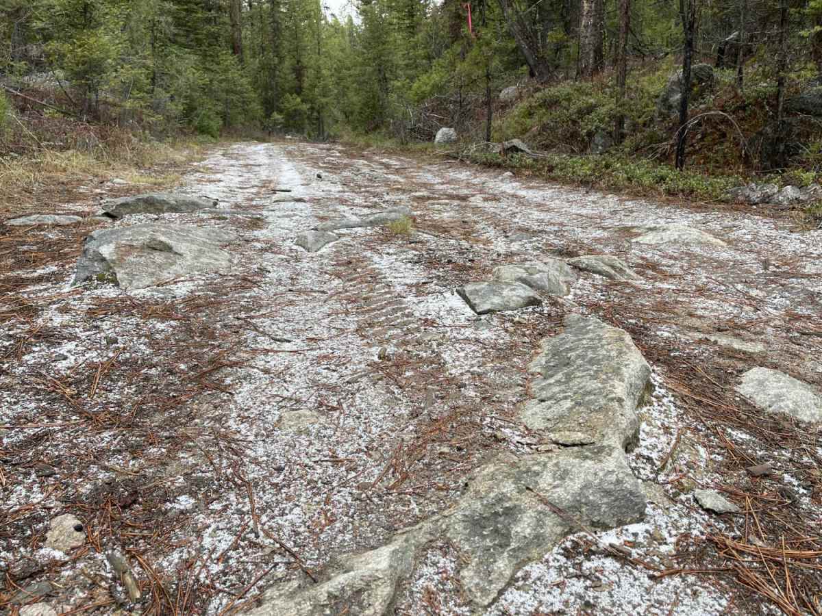
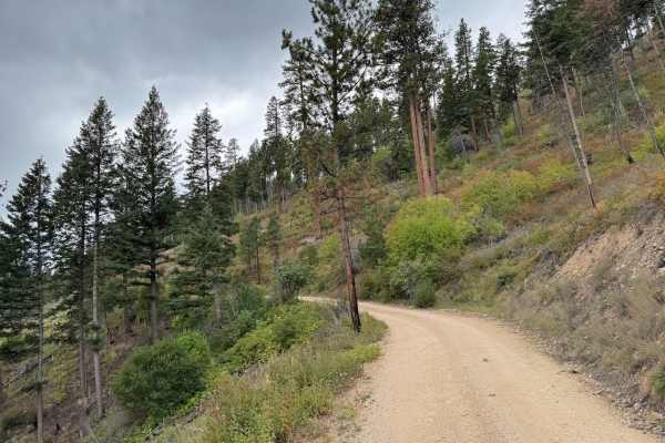
Trapper Trailhead Side Trail is a short, rugged spur ideal for offroaders seeking a quiet spot to camp or a quick, technical challenge near the Bitterroot National Forest. Spanning approximately 0.7 miles, this route climbs gently from an elevation of 4,475 feet to 4,543 feet, branching off from Forest Service Road 5628 (Trapper Creek Road). The trail consists of a dirt and rock surface that features deep ruts and sharp rocky sections capable of causing tire damage if not navigated carefully. A four-wheel-drive vehicle or high-clearance SxS is highly recommended to handle these uneven obstacles, particularly during seasons when the terrain is dry enough to traverse.
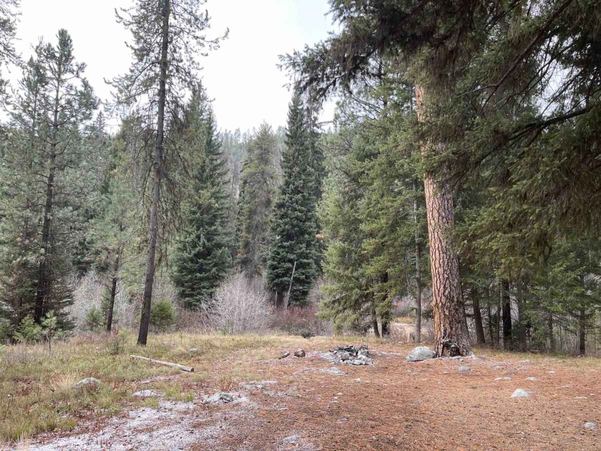
A particularly challenging muddy section near the start of the trail can easily become impassable during wet weather or after heavy rainfall, requiring careful line selection and proper tire traction. Because there is no winter maintenance and cellular service is completely unavailable in this remote canyon, travelers should come prepared with self-recovery gear and offline maps. While the trail does not lead to any scenic overlooks or major destinations, it provides several secluded, dispersed camping spots perfect for those wanting to escape the more traveled main roads. The route remains a primitive, unmaintained option best suited for high-clearance four-wheel-drive vehicles and SxSs during the late spring through autumn months.
Access Description
This primitive trail has no winter maintenance and is not plowed. Cellular service is unavailable throughout the area. A mud-prone section near the beginning of the route can become completely impassable when wet, meaning travel should be avoided during or immediately after heavy rainfall. High-clearance four-wheel-drive vehicles or SxSs are highly recommended to avoid tire or undercarriage damage from deep ruts and sharp rocks.

 Offroad