Trail Overview
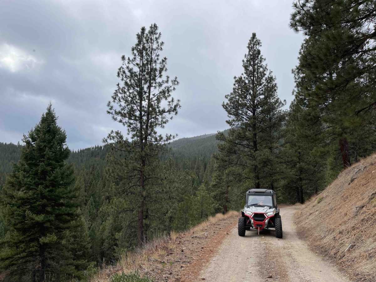
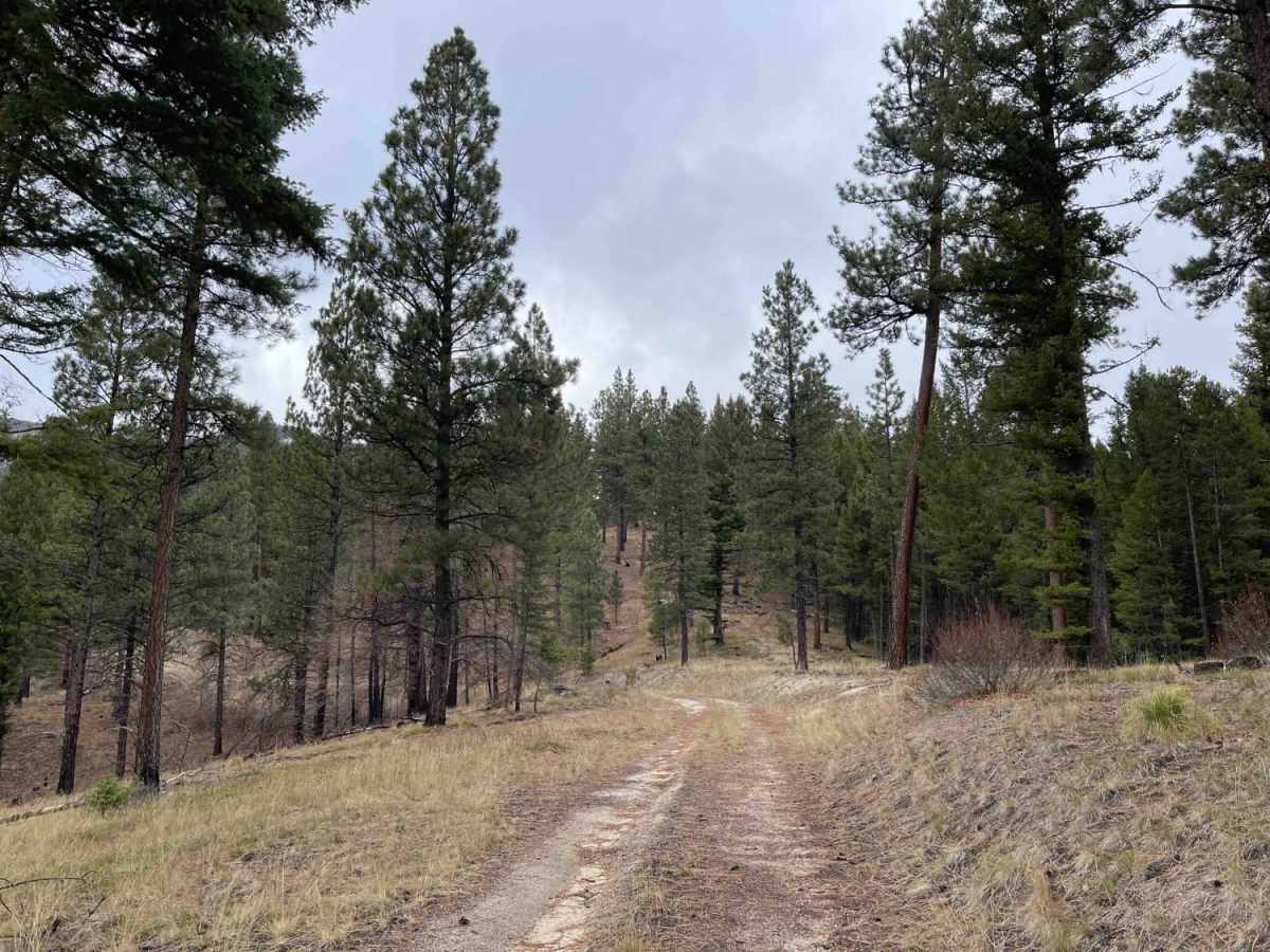
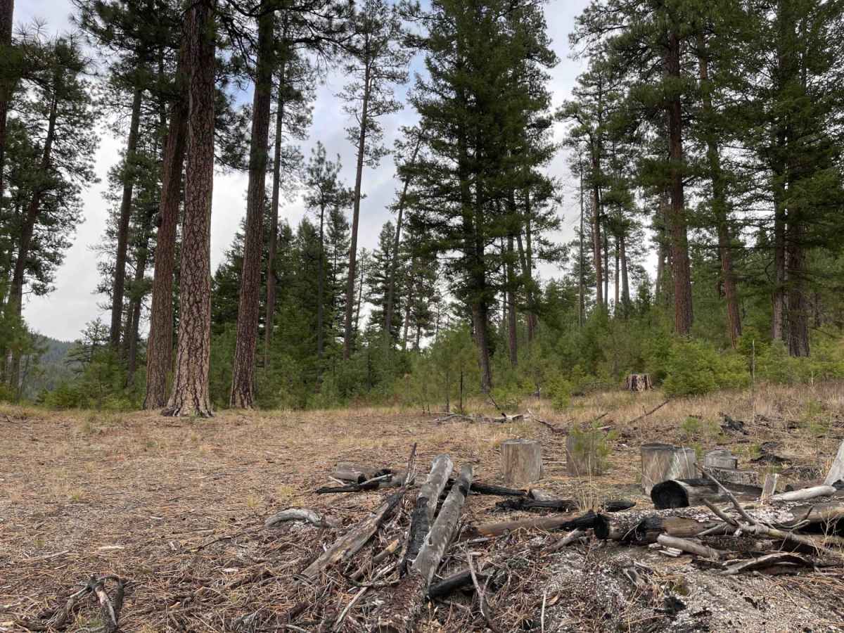
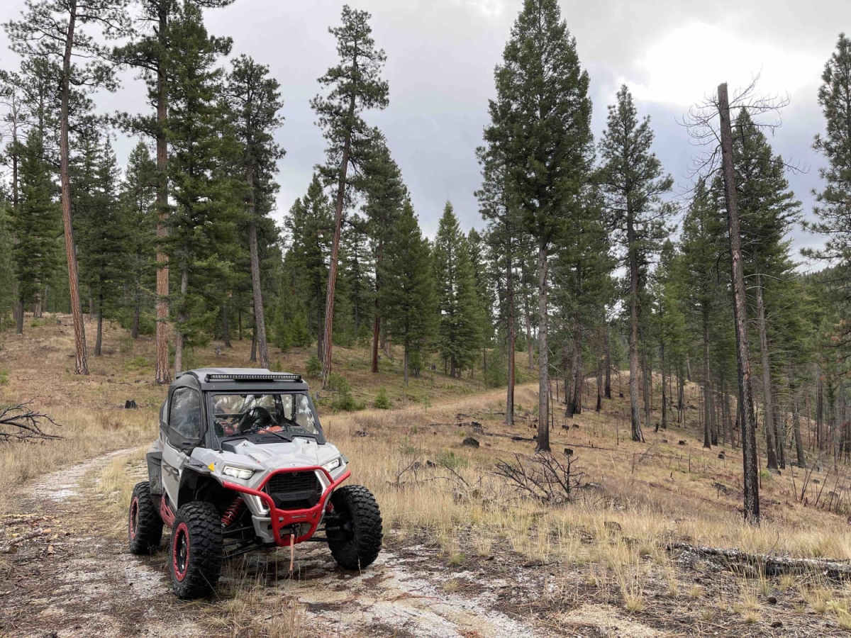
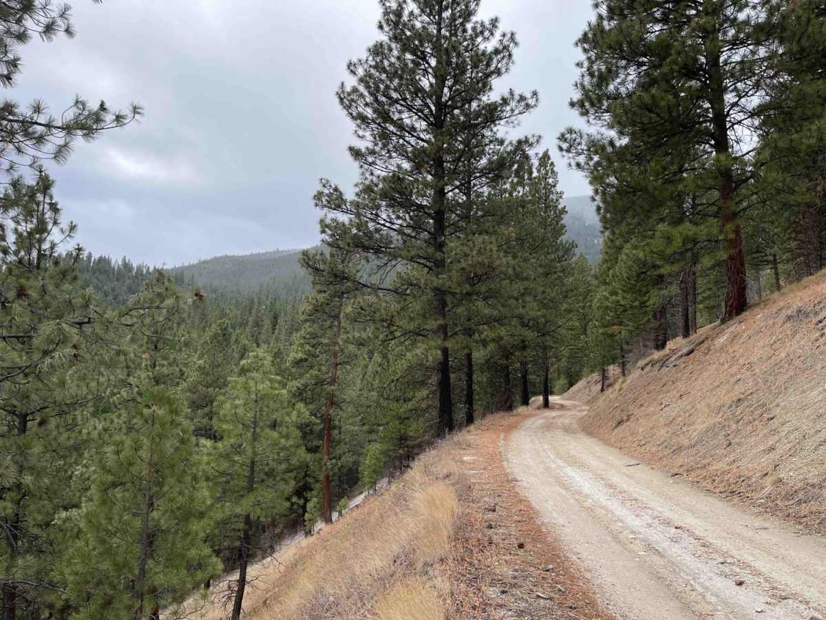
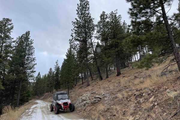
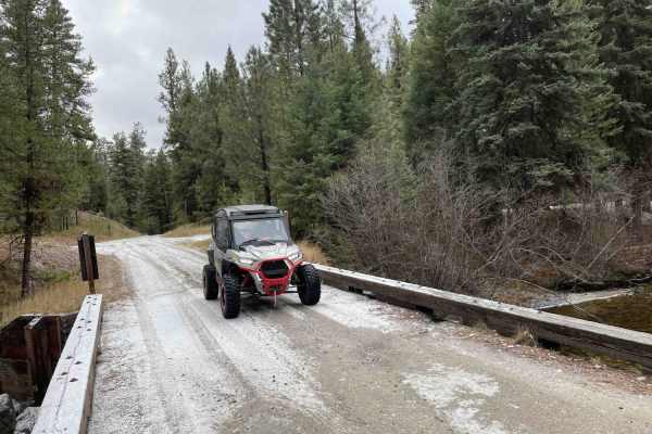
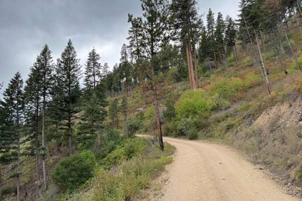
Lower Pierce Creek is an approachable, beginner-friendly dirt route perfect for stock four-wheel-drive vehicles, SxSs, and dirt bikes looking for a gentle climb into the scenic Bitterroot Mountains. Stretching just over 2.2 miles, this easy graded trail features an elevation gain of around 670 feet, starting at an elevation of 4,160 feet and topping out near 4,800 feet. The road is well-maintained but lacks winter maintenance, making it primarily a late spring to autumn run. Along the route, drivers will navigate a mild grade with a maximum slope of about 18 degrees, encountering a few dispersed camping spots nestled among the pine trees and plenty of pullouts to easily accommodate oncoming traffic.
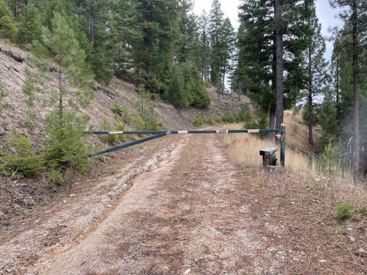
While the main path is highly accessible, offroaders should be aware of a few land-use restrictions, including seasonal closures in the middle section and a locked private property gate that marks the end of the lower portion. There is no cellular service in this remote drainage, so downloading offline maps is essential before heading past the trailhead. Adventurous travelers can explore various side spurs branching off the main road, though deeper exploration of higher-elevation campsites is best saved for the peak summer months when the seasonal gates open.

 Offroad