Trail Overview
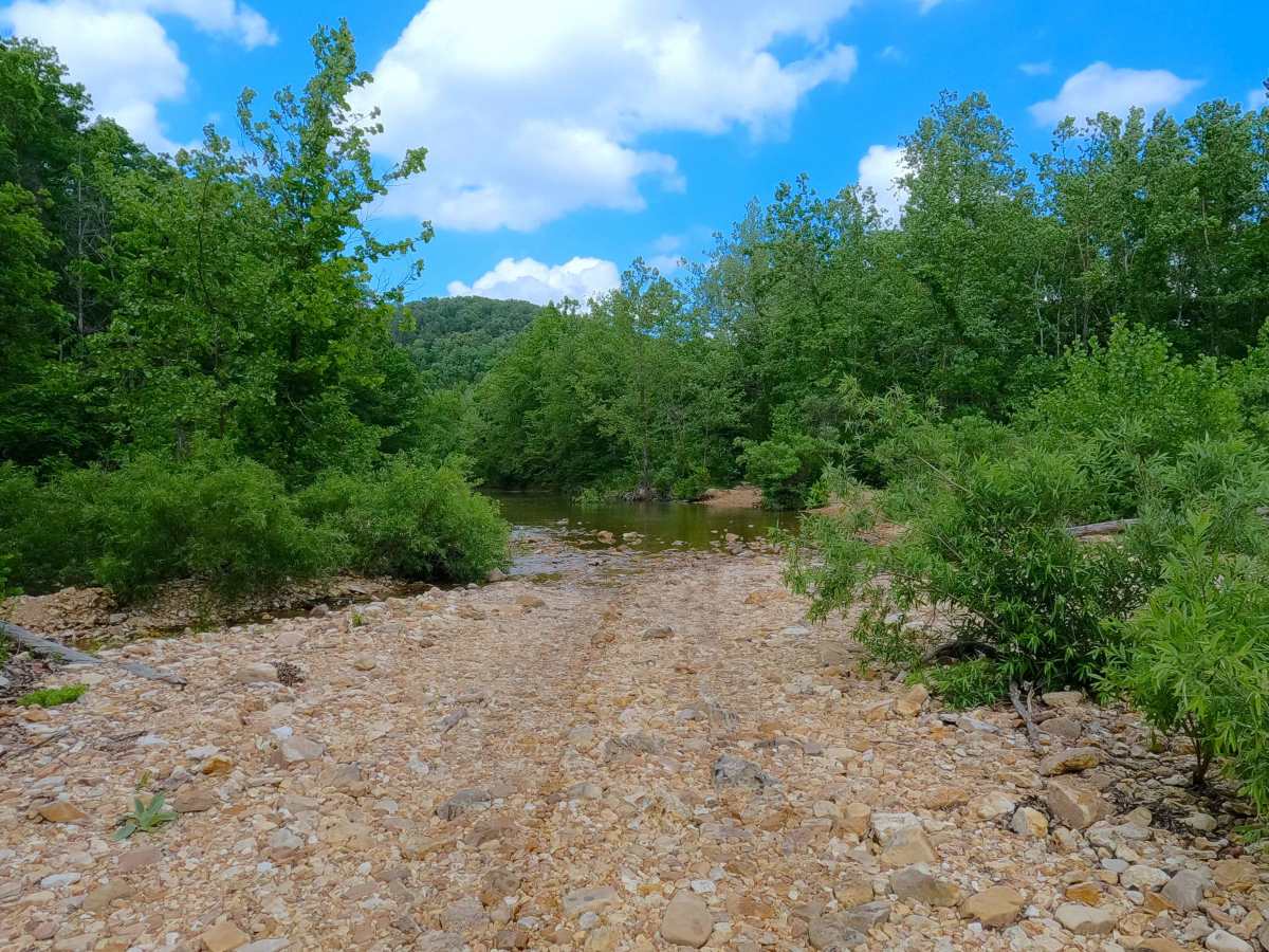
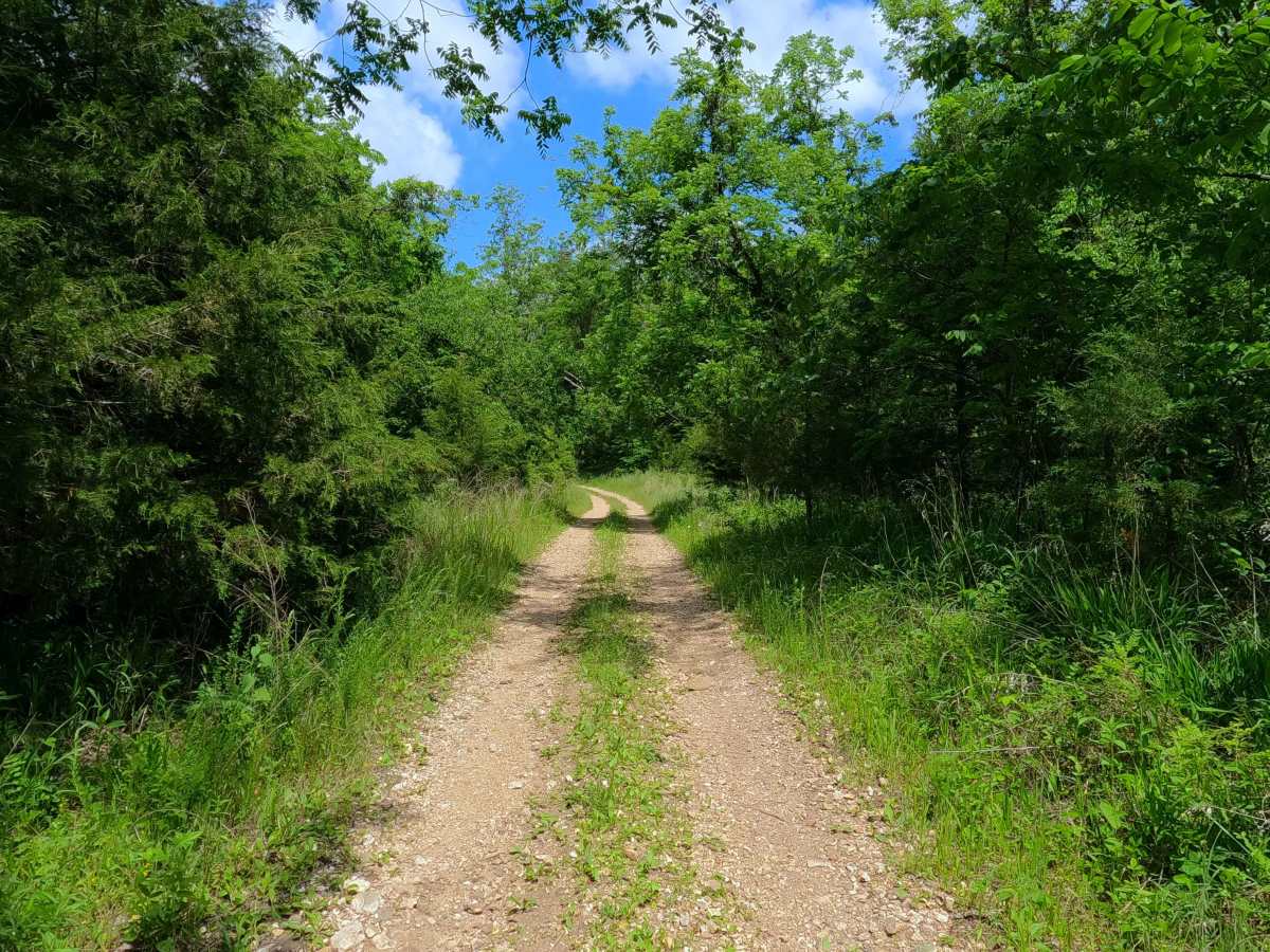
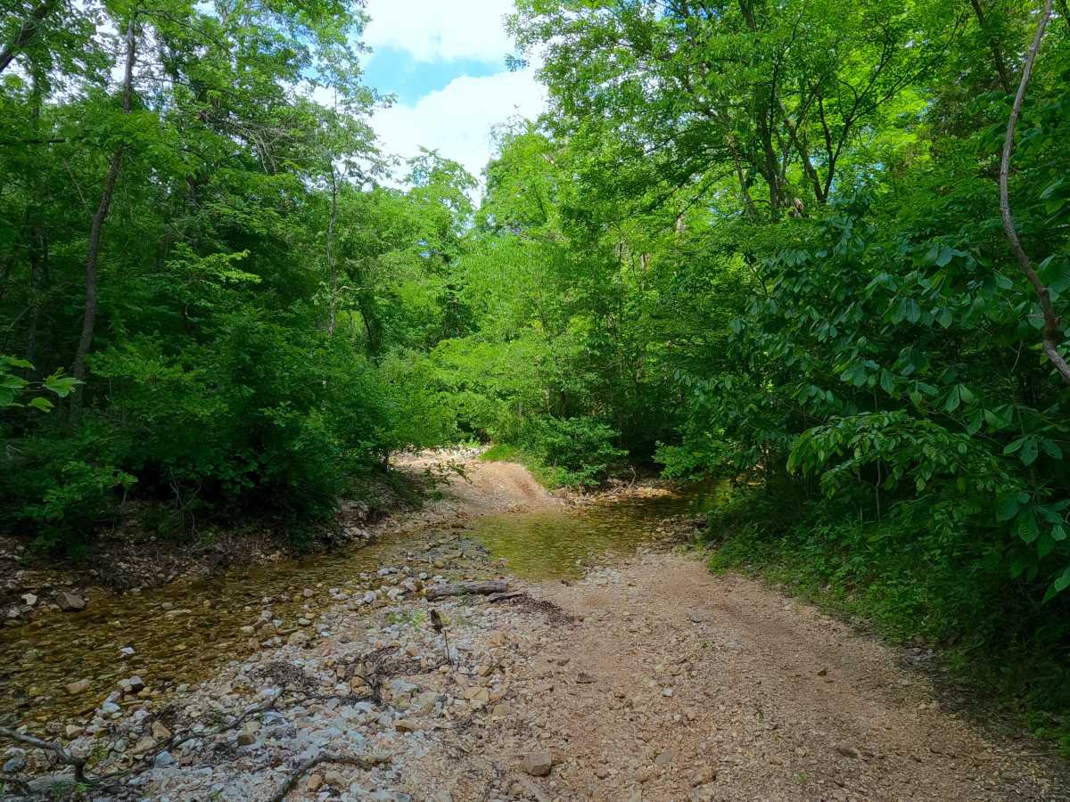
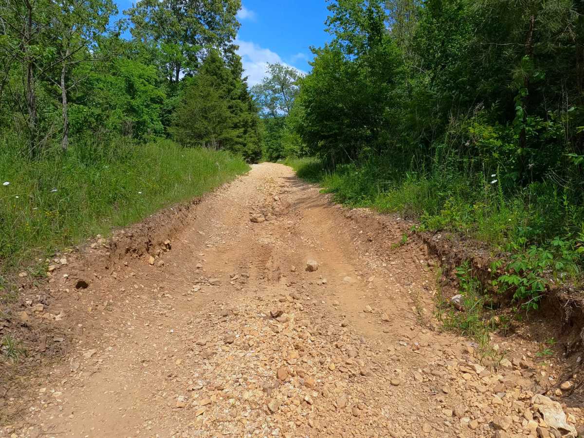
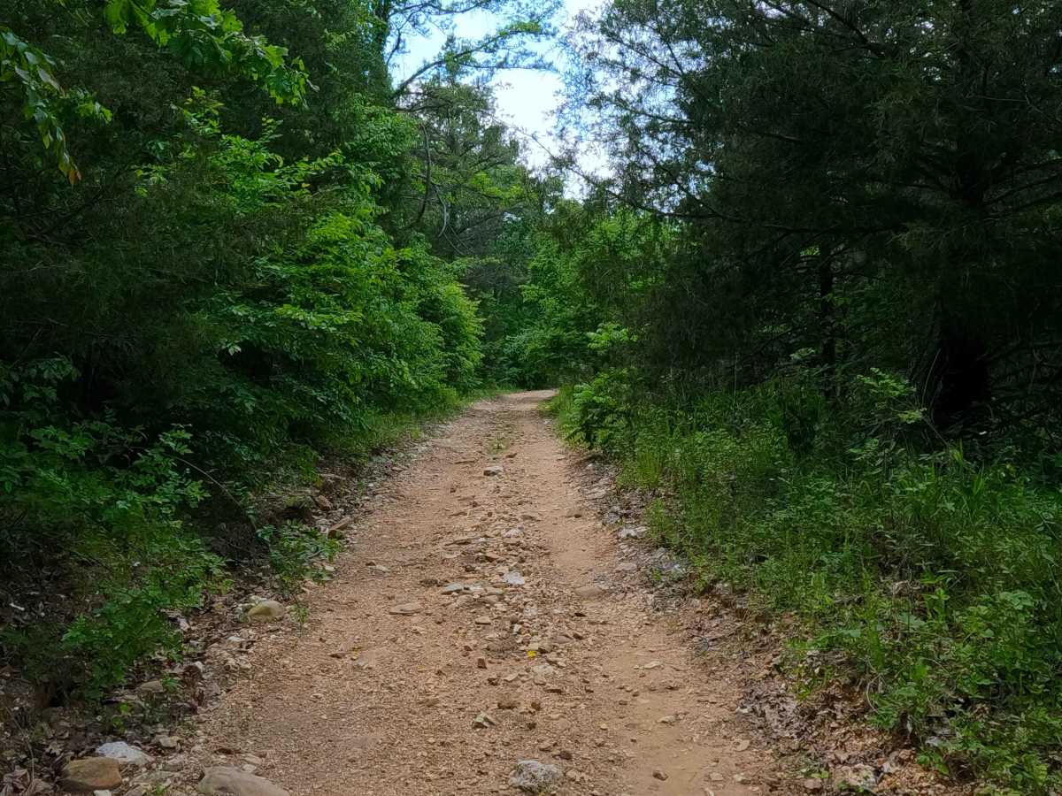
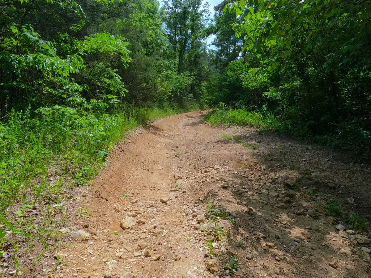
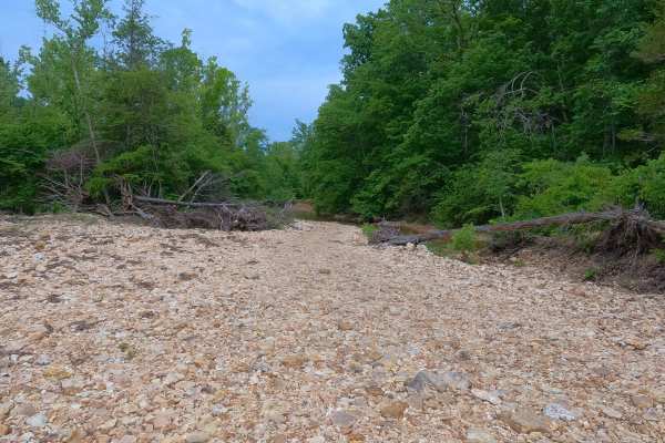
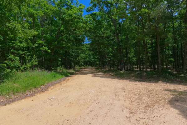
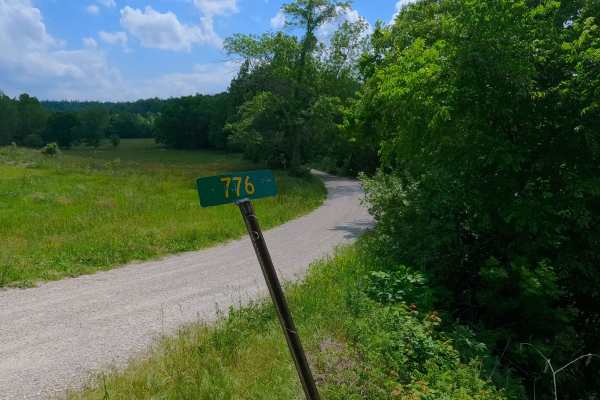
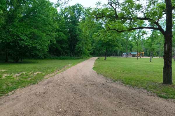
Spring Hollow, or the north section of Shannon County Road 242 is a rough natural terrain County Road, connecting from the Reynolds County line on the east end to the greater Blair Creek area within the Roger Pryor Backcountry / Pioneer Forest to its west end. Starting from the end of Reynolds County Road 776, the road heads west on the ridge top, traversing a rough, coarse gravel road with loose cobbles lying in the road, and small sections of soft dirt and sandy-like surface, leading to the midway point. At the midway point, the road drops down a steep grade of loose cobbles, active erosion ruts, and exposed natural rock, dropping into the bottom section of the trail. The bottoms section meets the small creek that is fed by two springs, Alec Spring to the north, and Sprout Spring along the path, these sources of water mixed with heavy rain, shape the ruts, small boulder fields, washes of creek gravel, fallen trees, log crossings, and water crossings along this section, making it an ever-changing pathway leading up to the point the road meets Blair Creek, where the South Section of Shannon County Road 242 starts following the Blair Creek south to Gang, and the Shannon County Road 283 goes north following the Blair Creek north to Midridge. This road acts as the most centralized east entry/exit into the Blair Creek area of Roger Pryor Backcountry, heading mostly east towards Ellington.
Difficulty
The Spring Valley is given a base rating of 4/10, with the bottoms section featuring small water crossings with a foot of depth on average, having soft, unpacked creek gravel as its base, as well as large ruts to traverse, being 12" to 18" deep, and a rock field of large cobbles and small boulders being part of the pathway, ranging from 6" to 18" in size, with a moderately steep graded hill featuring active erosion and natural rock poking out of the surface. On the ridge top section, it is also safe to expect all the gravel road complications such as potholes, washboarding, and mounding of the gravel. During normal rain events, water depth will increase at all crossings, increasing the difficulty. During flooding events of the Current River, it is possible that the bottom section could be flooded and have water covering large portions of the road, especially Blair Creek, making that water crossing very deep and impassable. Consider the road closed during these flooding events; difficulty could also increase on the hill section from further erosion due to lack of maintenance or from heavy use between cycles.