Trail Overview
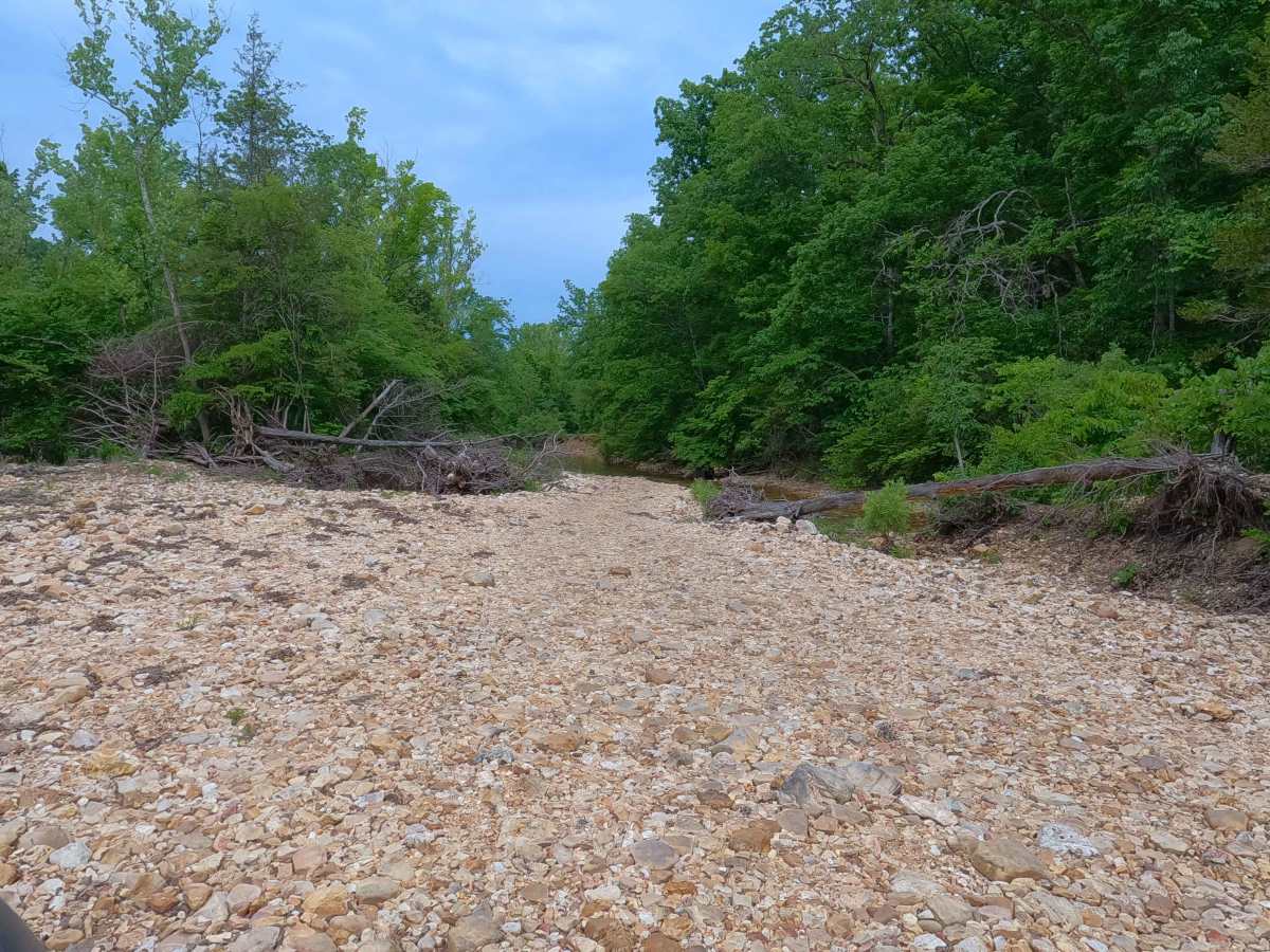
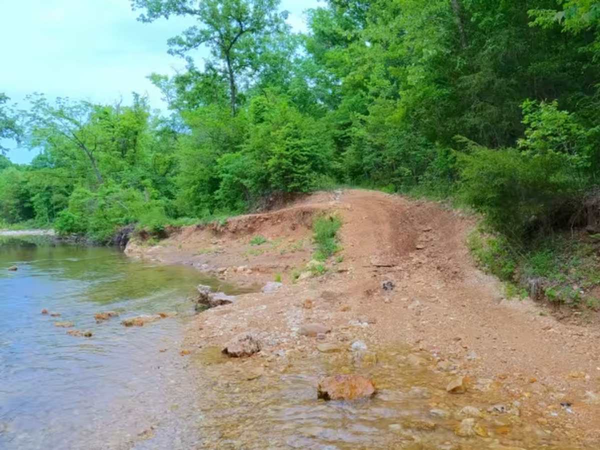
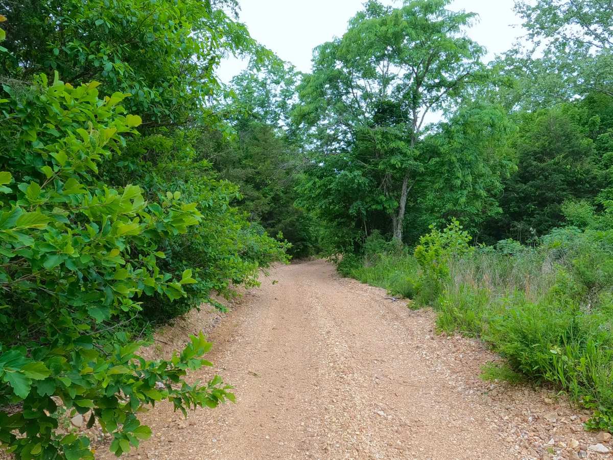
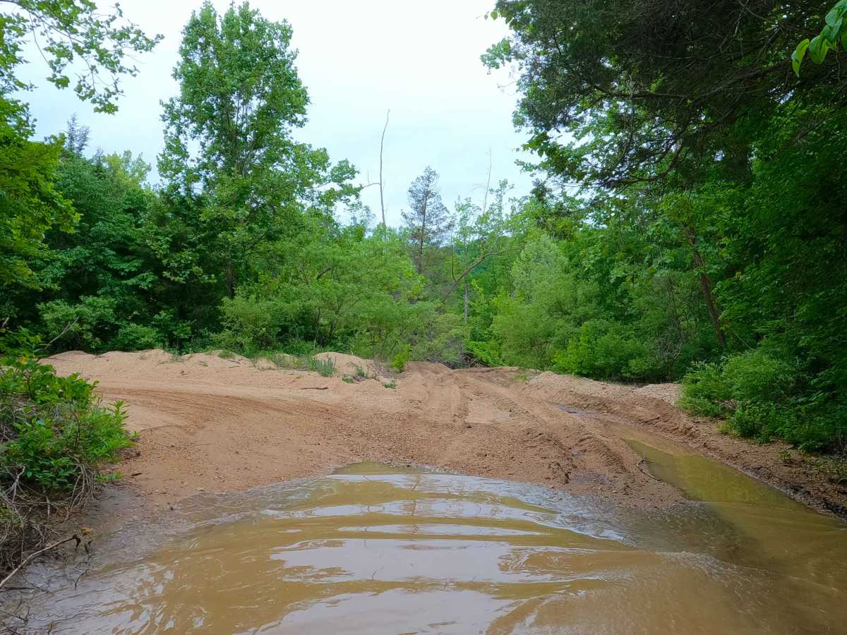
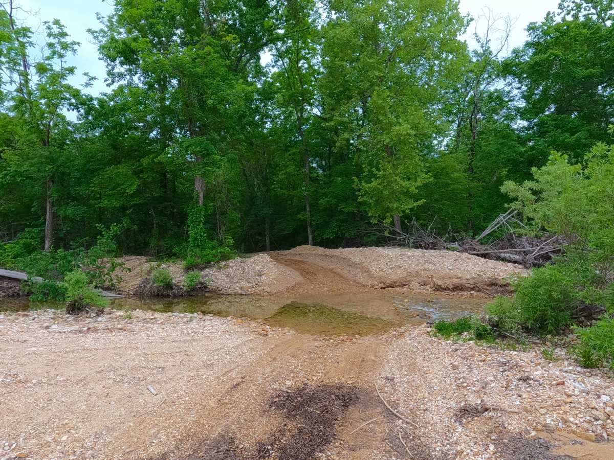
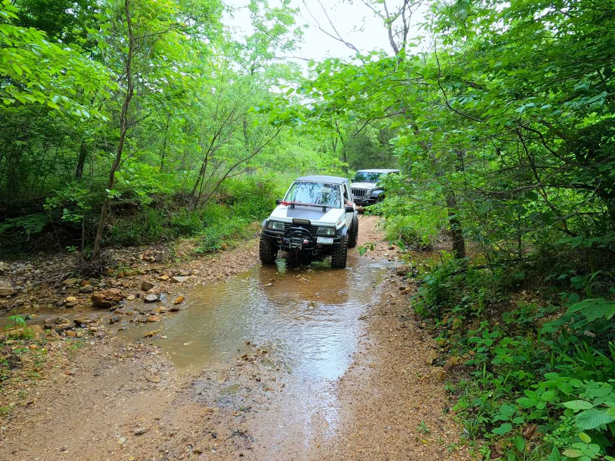
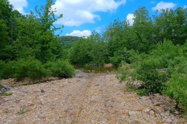
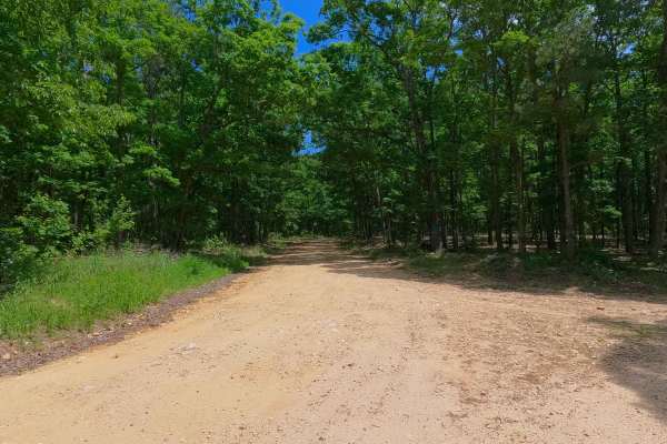
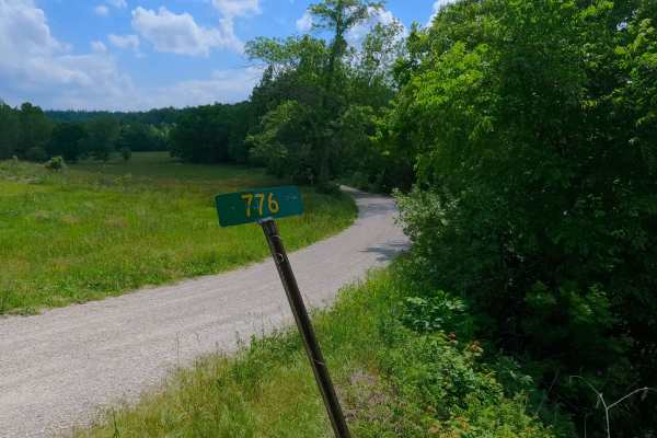
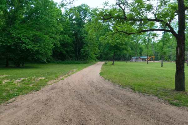
South Blair Creek, or the South Section of Shannon County Road 242, is a rough natural terrain County Road, starting on its north end at the intersection with Shannon County Road 283, traversing the Blair Creek within the Roger Pryor Backcountry / Pioneer Forest, to meet its southern end at Gang, at the intersection with Shannon County Road 235. Keep in mind that this track parallels and shares a path with an Equestrian route and Ozark Trail hiking path for a large portion of the track; be respectful of other users of the area. Along the way, the road traverses many water crossings over ever-changing Blair Creek gravel, paired with large cobble and small boulder-laced gravel bars, joined together by erosion-riddled coarse creek gravel road sections with tight tree lines, featuring short steep hills, mild ruts, and occasional dirt and sand sections turning into muddy water collection holes. This road passes several old homesteads, the Stroup Spring, and Blair Creek Cemetery, showing a glimpse of the past along one of the two main thrilling roads that make up the Blair Creek track. Please read the difficulty explained section before attempting this road.
Difficulty
South Blair Creek is given a 5/10 base rating, mainly due to the creek navigation required to safely traverse this road; it has several creek-bottom road sections, paired with an abundance of water crossings along the path. Water crossings usually are in the 6" to 2.5-foot range in summer; these still require spotting a line in the water to navigate and stay on higher, mounded creek gravel surfaces in the water. If users feel unsure about navigating this creek road or determining if crossings are safe, and can't gauge the depth of the water, it is suggested not to use this road system. Other users are advised not to go alone; this area is very remote and will test the vehicles that traverse the water crossings it throws at them. The southern part of the road is also situated on a slightly eroded, short hill featuring large ruts, washes of the road surface, and dirty water collection holes. During normal rain events, water depth will increase at all crossings, increasing the difficulty. During flooding events of the Current River, it is possible that the creek bottoms could be flooded and have water covering large portions of the road along Blair Creek, making the water crossings very deep and impassable. Consider the road closed during these flooding events; difficulty could also increase on the hilly section from further erosion due to lack of maintenance or from heavy use between cycles.

 Offroad