Trail Overview
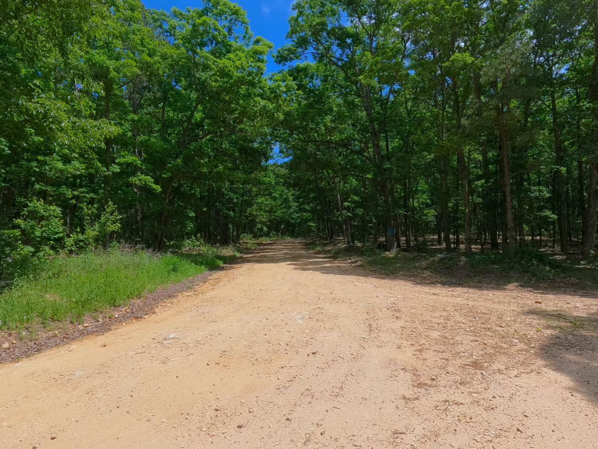
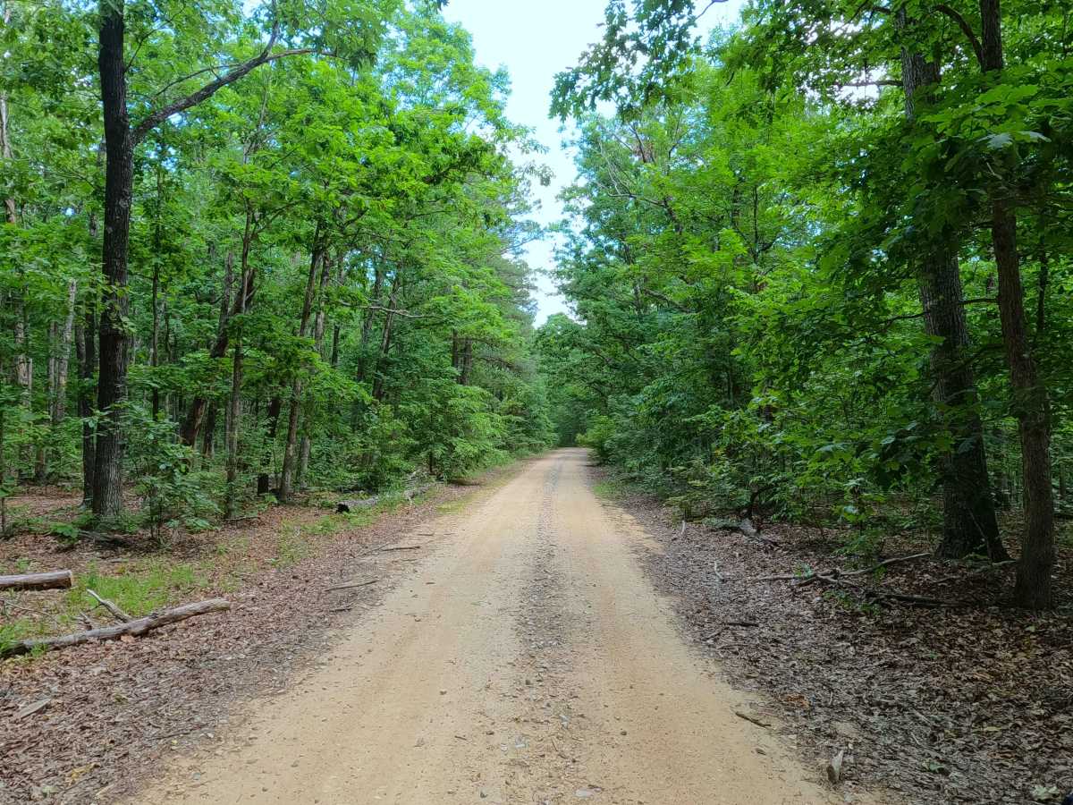
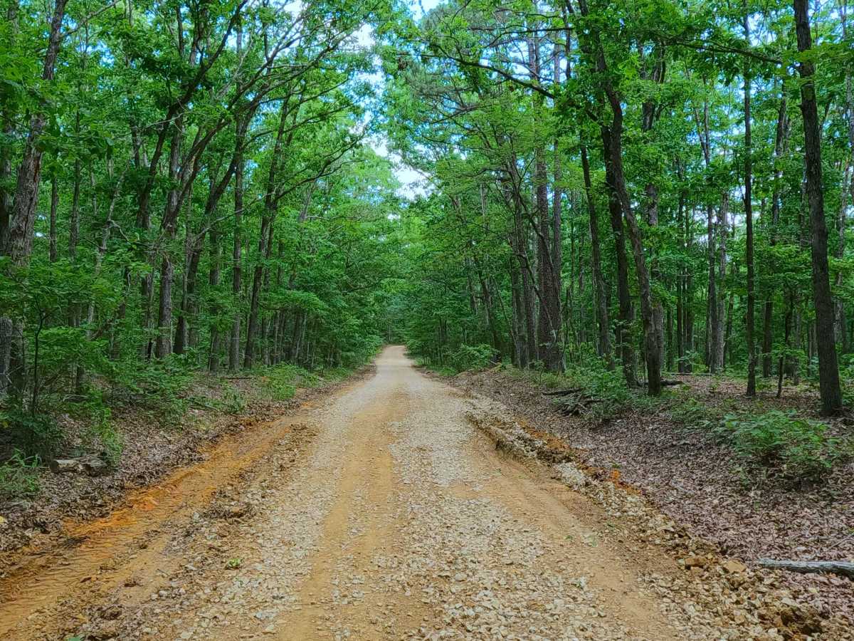
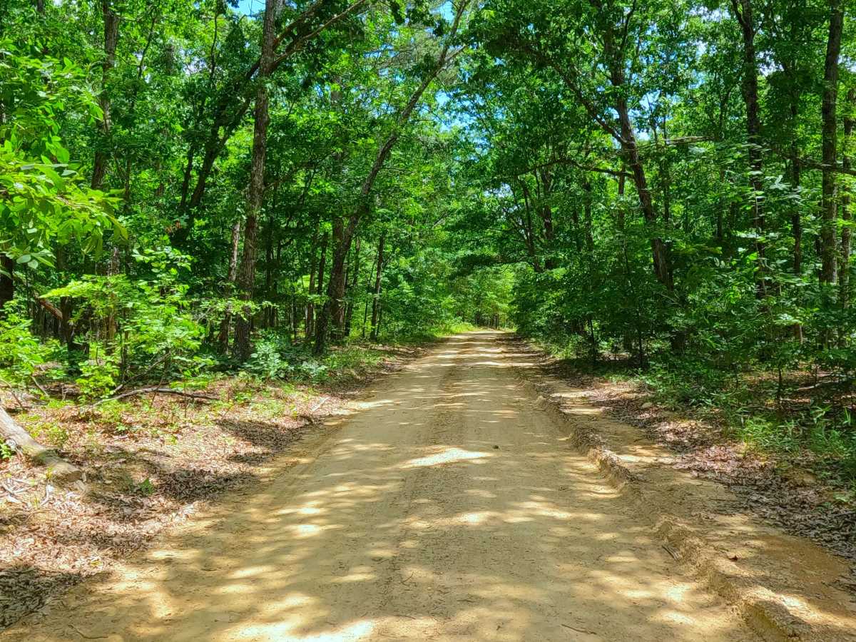
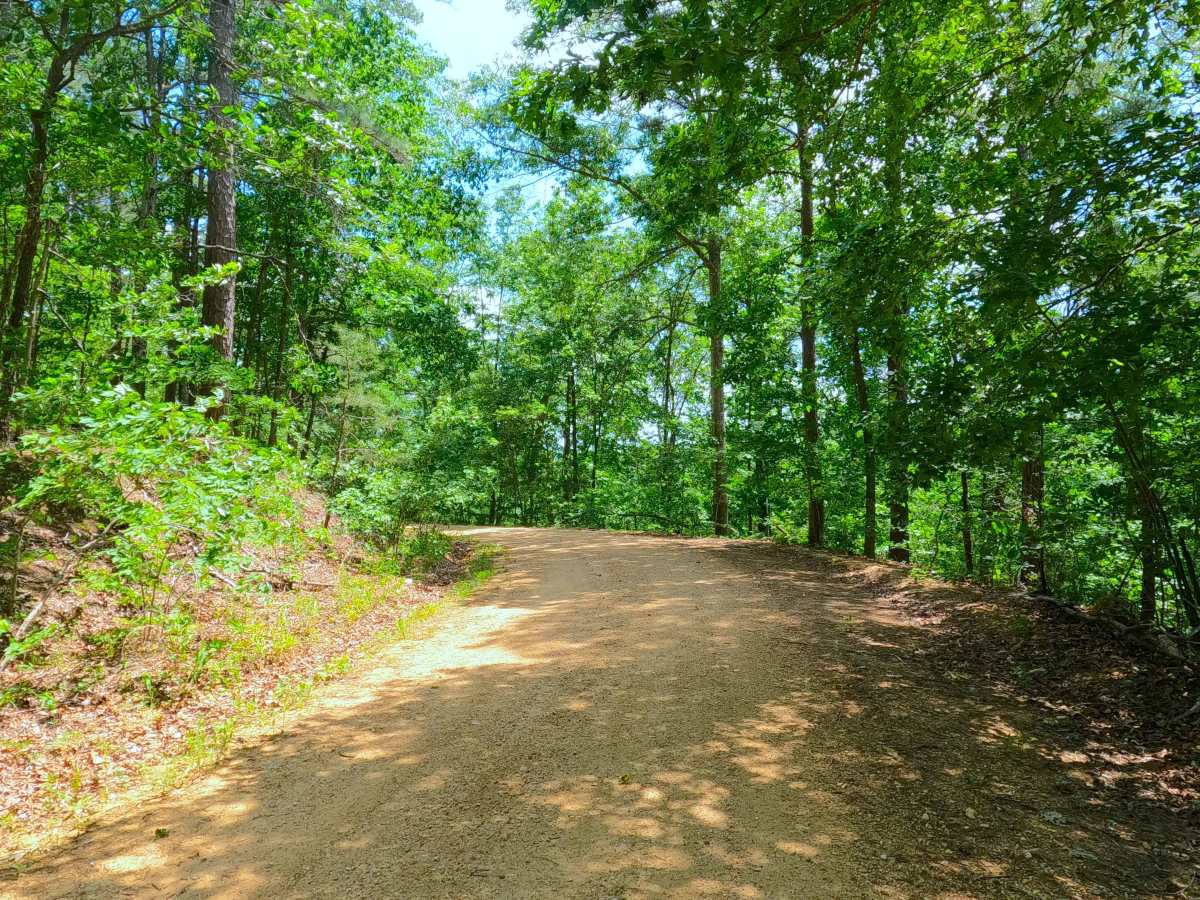
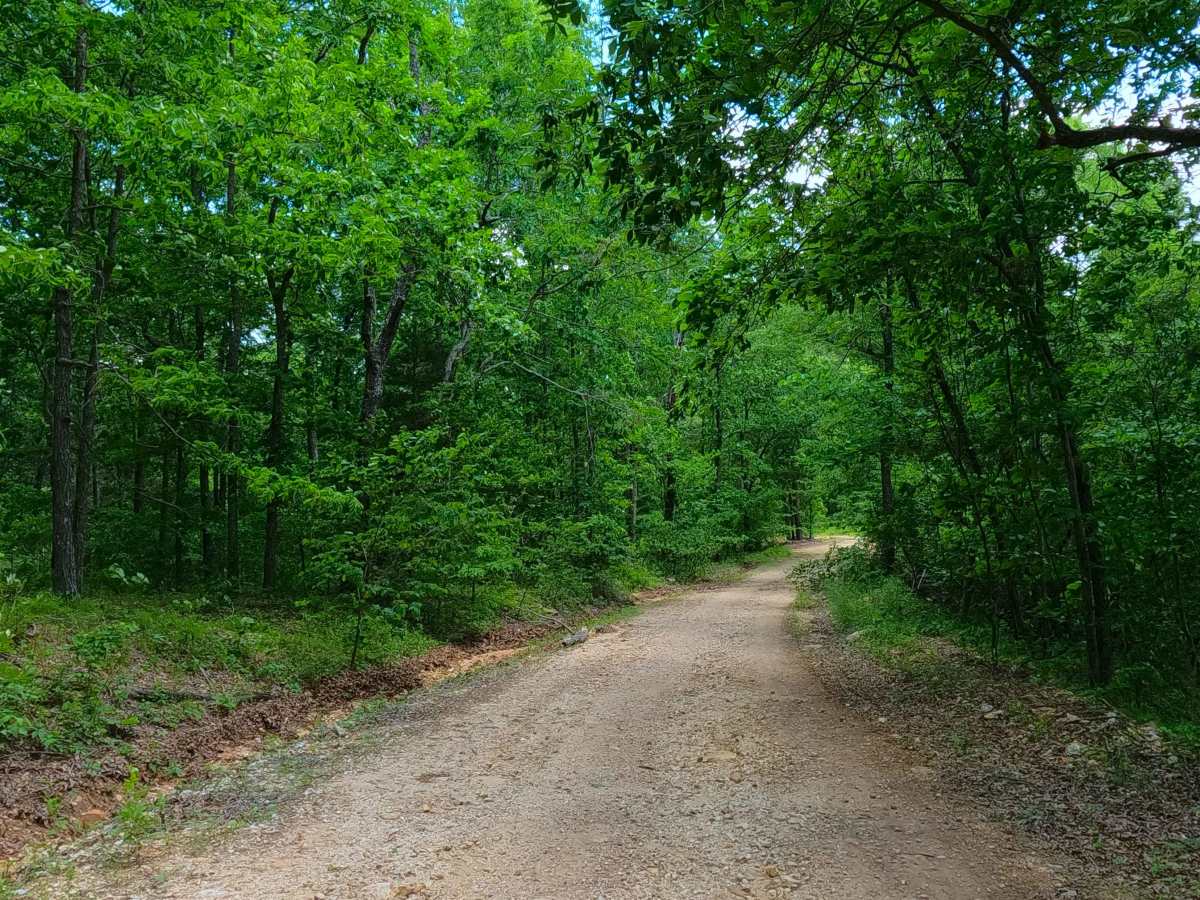
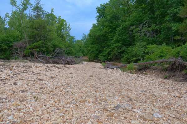
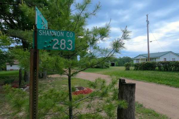
Sugarcamp Ridge, or Shannon County Road 238, is a coarse gravel road in the Blair Creek area within the Roger Pryor Backcountry / Pioneer Forest. Acting as a logistical shortcut, or midway entry/exit road, with its layout starting at its northwestern end at an intersection with the easygoing Junction Ferry South SCR 235, riding east along the ridge and crossing a few hills over consistent coarse gravel to finish tracking downhill into the Blair Creek bottoms, meeting its southeastern end at the intersection with the thrilling creek-bottom road of South Blair Creek South SCR 242. If using the road to go east, at the intersection with South SCR 242, turn left/north to go into the heart of the Blair Creek Bottoms, or turn right/south to take a slightly easier creek bottom experience; or if going west, use the SCR 238 road as a midway exit from the Blair Creek bottoms to then pair with Junction Ferry - South SCR 235 to head north. Sugarcamp Ridge is located logistically north of the Sugarcamp Hollow from which the name is derived, with both running generally parallel until they meet Blair Creek. With this proximity of Sugarcamp Hollow and Ridge, there are great views to the south from the SCR 238 road, especially in Fall.
Difficulty
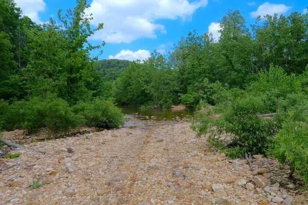
Sugarcamp Ridge is given a 2/10 for having a coarse gravel and loose cobble surface, featuring mildly steep graded hills with mild erosion and washes, with potential spots in the road where the surface turns to dirt, causing surface mud or small water collection holes. If intending to continue into the Blair Creek bottoms, read the difficulty explained section for the roads to the east of this road; they feature a jump in difficulty due to deep water crossings, and shouldn't be traversed alone. During wet seasons or rain events, difficulty will increase and potentially exceed the given rating. During flooding events of the Current River, it is possible that the creek bottoms could be flooded and have water covering the eastern end of the road along Blair Creek, with this water being very deep and impassable. Consider the roads to the east beyond the SCR 238 closed during these flooding events; difficulty could also increase on the hill section from further erosion due to lack of maintenance or from heavy use in between cycles.

 Offroad