Trail Overview
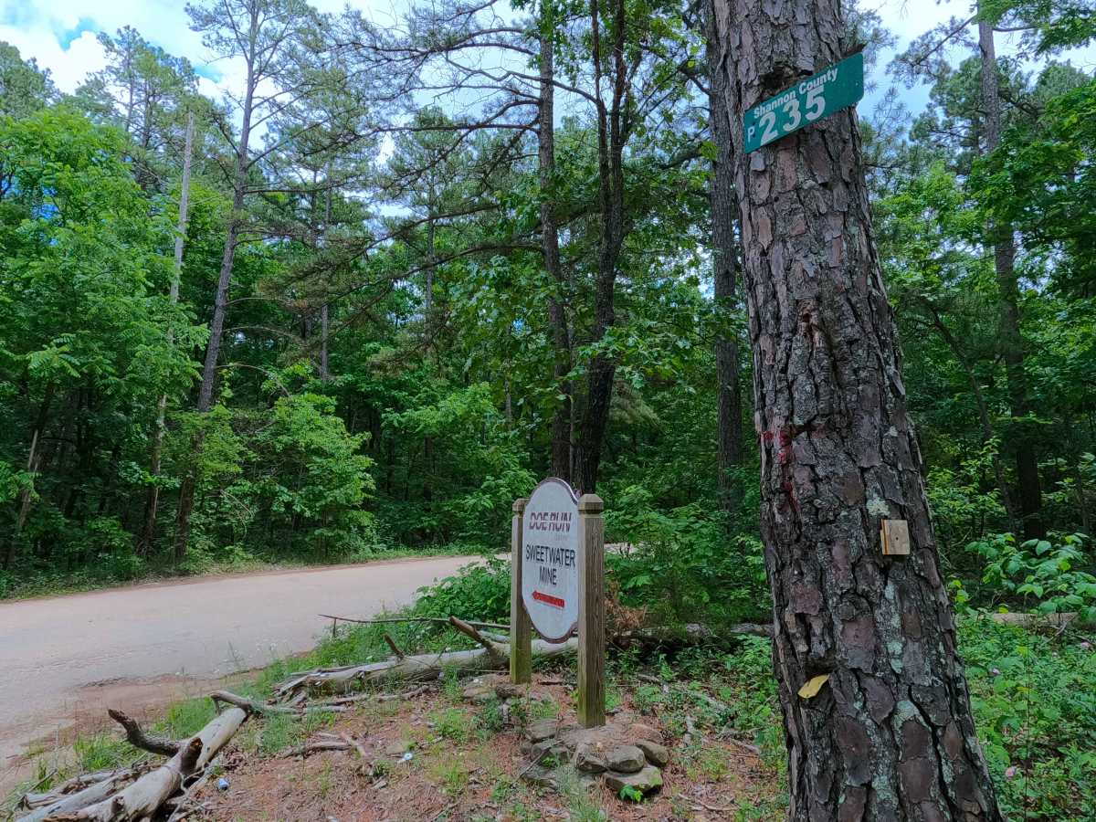
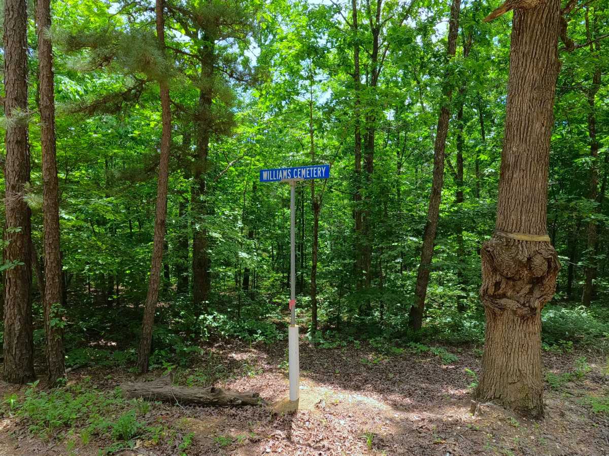
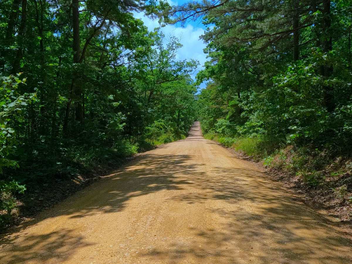
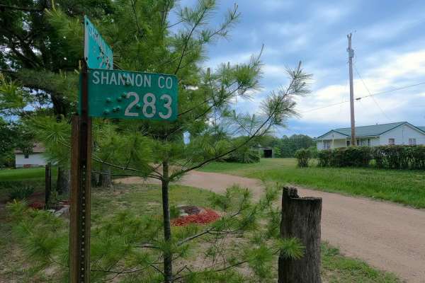
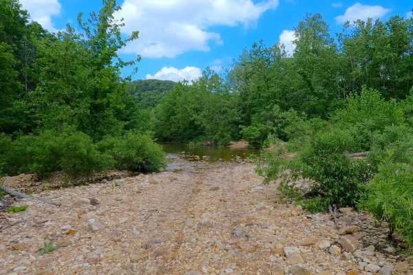
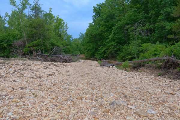
Midridge or North Shannon County Road 235 is a maintained coarse gravel road logistically navigating the ridgeline between the southern Salem Unit of Mark Twain National Forest and the northern Roger Pryor Backcountry / Pioneer Forest. The road starts on its northeastern end at Missouri Route P, just to the west of the Shannon and Reynolds county line, with the Doe Run Sweetwater Mine just to the east. From here, the road heads generally southwest, passing the Williams Cemetery and several Forest Service Roads, heading towards the settlement of Midridge, where it passes the intersection with (North Blair Creek) Shannon County Road 283, which heads east and then quickly turns south, diving into the bottoms. Midridge is marked by a roadside garden, wooden sign, and road signs. After Midridge, the road continues west-southwest, shortly entering the Roger Pryor Backcountry and Pioneer Forest land, before ending at the T intersection with Shannon County Road 263 and the Junction Ferry - South SCR 235. The main purpose of this road is the logistics of connecting to so many roads between the two major land agencies, and as the Northeast entry/exit into the Blair Creek area.
Difficulty
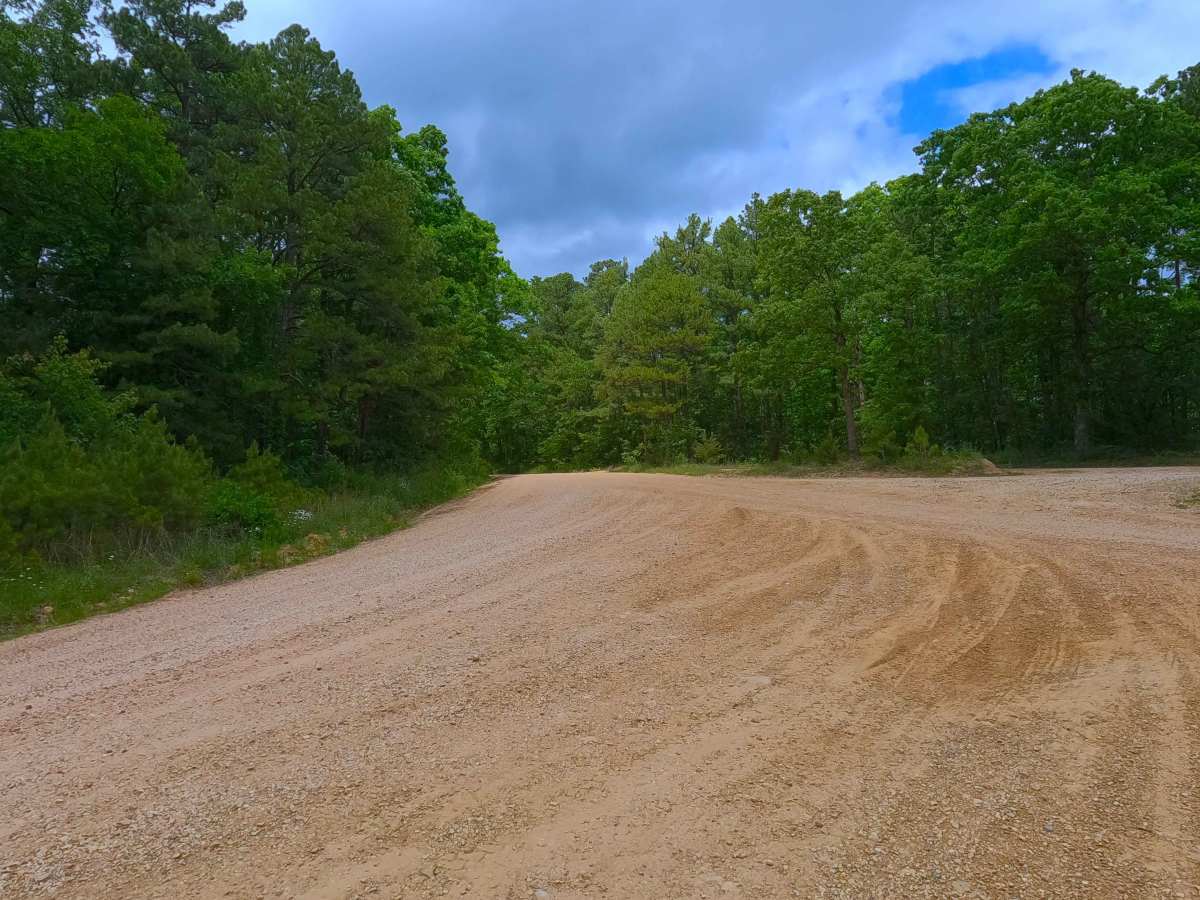
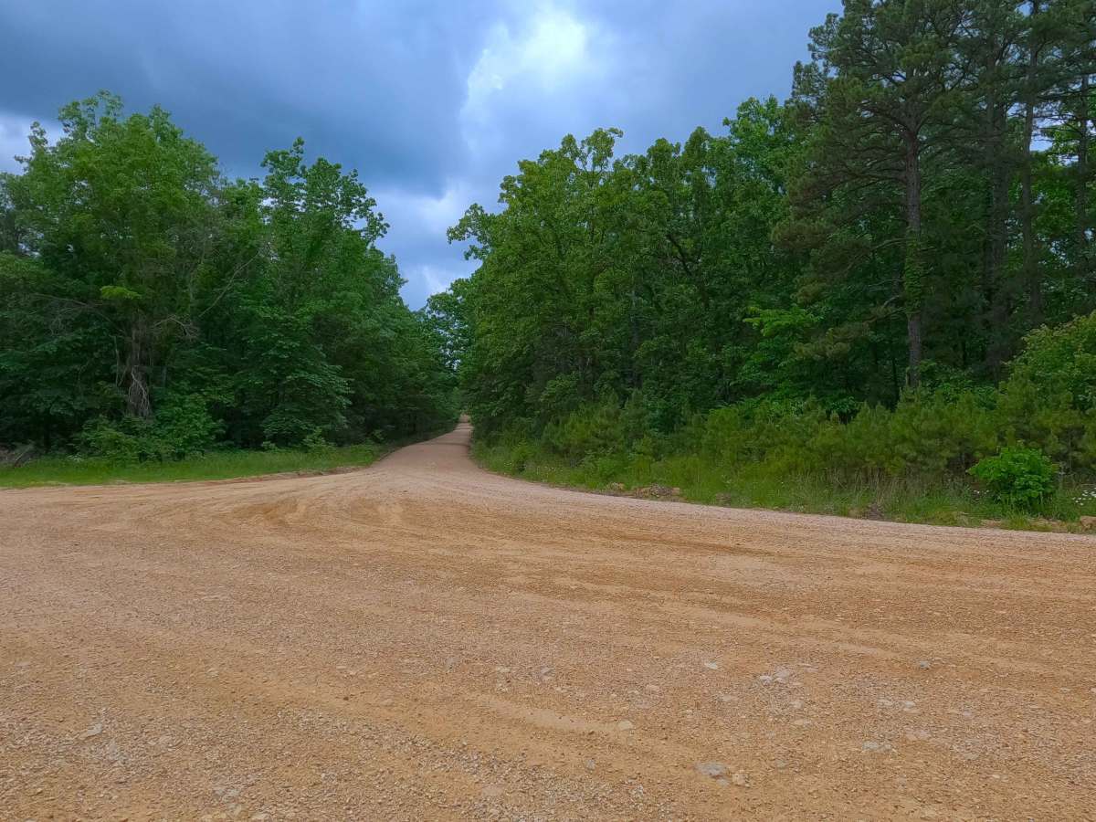
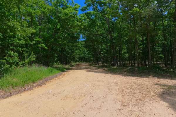
Midridge is given a 1/10 base rating, having only mildly graded hills traversing the ridgeline spines, with occasional gravel washes and mild erosion on the steeper hills. It is safe to expect normal gravel-road complications, such as washboarding, potholes, and gravel mounding. Only in extreme scenarios, such as inclement weather or prolonged heavy rain, or with severe lack of maintenance, would the road see any change in difficulty rating; this is unlikely, as the road appears to be graded often.