Trail Overview
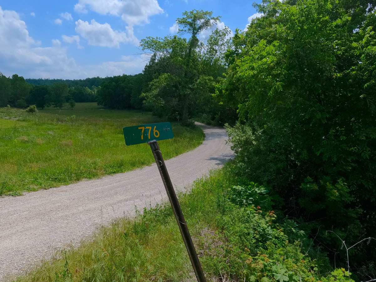
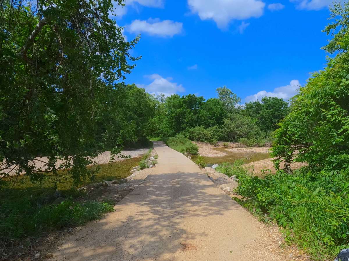
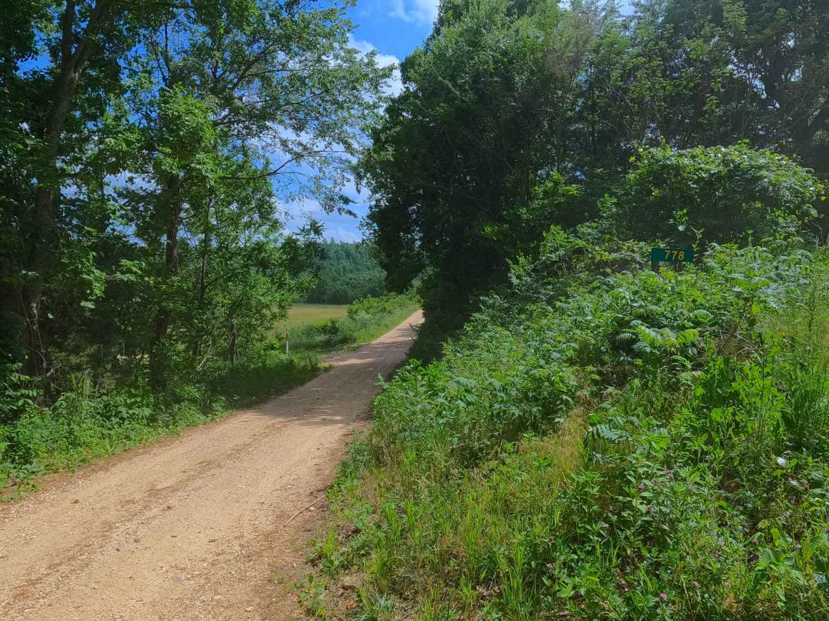
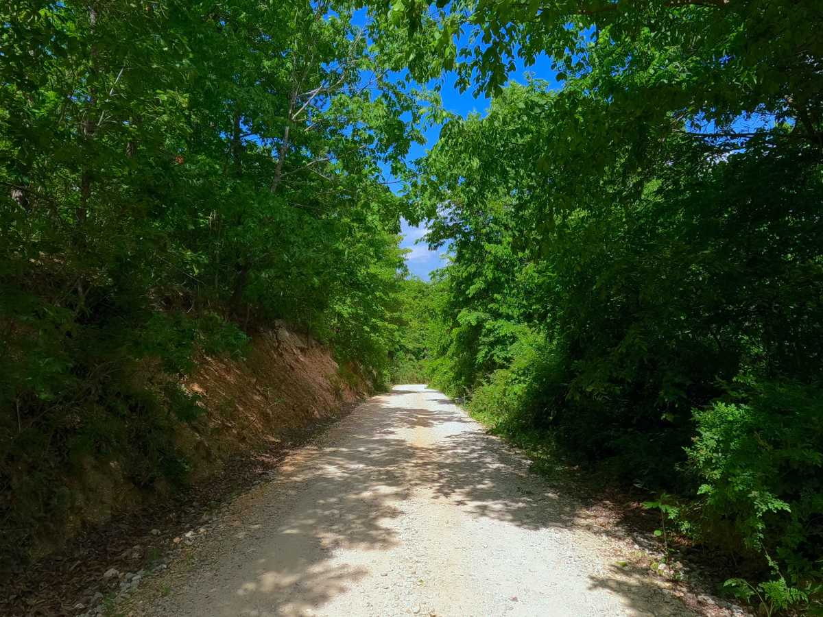
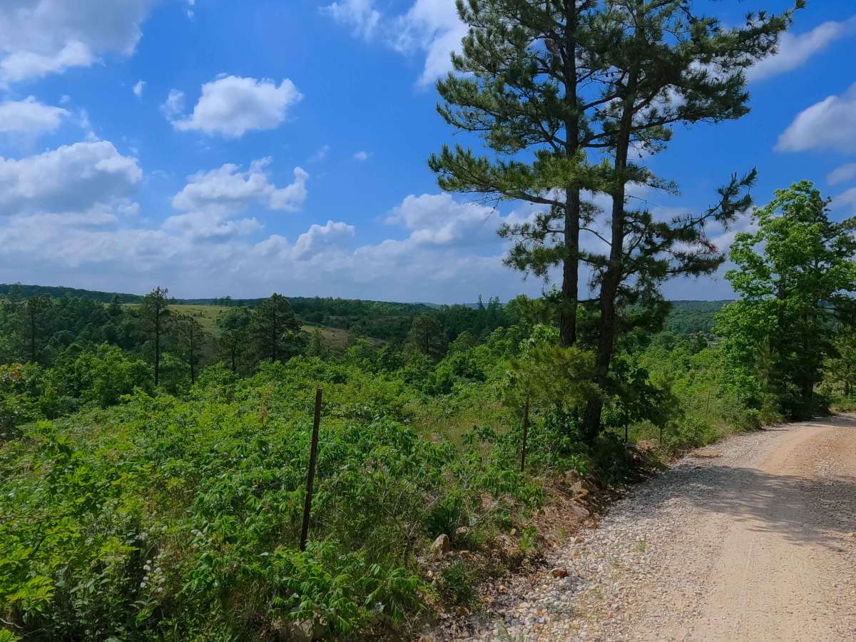
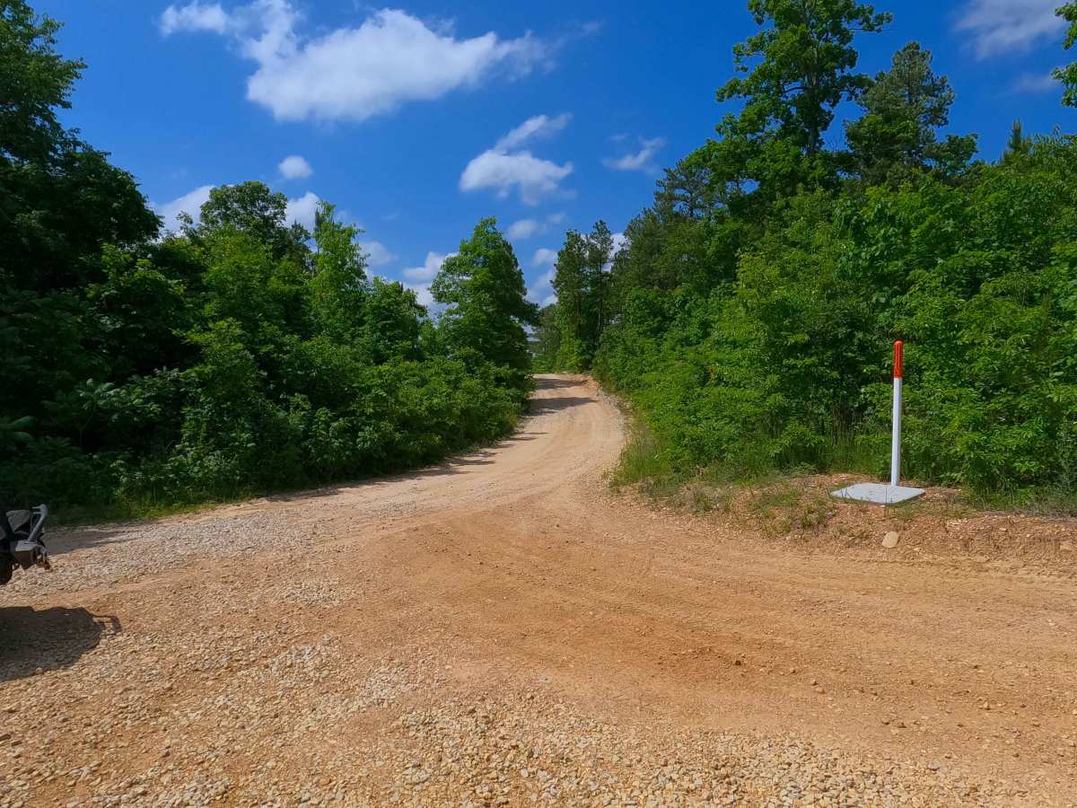
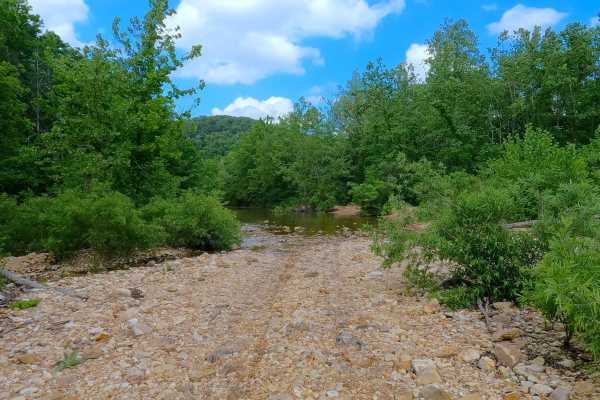
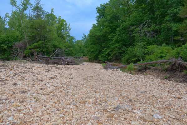
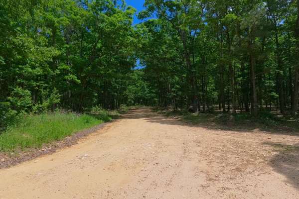
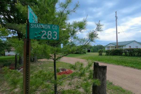
Graveyard Hollow, or Reynolds County Road 776, is a gravel road within Reynolds County and a small portion of the Logan Creek Missouri Department of Conservation Area. The Graveyard Hollow Road starts on its eastern end at Missouri Route B, heading west-southwest into the Graveyard Hollow valley, crossing a pair of low-water bridges over Logan Creek and one of its tributary feeder creeks, while also passing the Counts Cemetery plot in between the two creeks. The road then climbs a mild grade uphill, encountering mild washes and erosion, to the ridge top where the road slowly fades from a maintained road into a less-maintained, more natural coarse gravel and cobble rock road. The road lastly enters the Logan Creek MDC Area, having a few open areas along the roadway for parking and outdoor use, just before it meets its western endpoint at the Shannon and Reynolds county line, with the road turning into the Spring Hollow - North SCR 242. This road acts as the most centralized east entry/exit into the Blair Creek area of Roger Pryor Backcountry, heading mostly east towards Ellington.
Difficulty
Graveyard Hollow is given a 1/10 base rating for having mild gravel washes and erosion on the single mild graded hill along the track. Outside of this, the far west portion of the road also leans into being a natural coarse gravel road towards the end, featuring cobbles in the path and natural rock poking out of the surface. It is also safe to expect all the gravel road complications such as potholes, washboarding, and mounding of the gravel. During extreme flooding events in the Clearwater Lake area, it is possible that the downstream river could charge Logan Creek and its tributary creeks, causing the low-water crossings of the road to become covered, very deep, and impassable. Consider the road closed during these flooding events; difficulty could also increase on the hill section from further erosion due to lack of maintenance or from heavy use between cycles.