Trail Overview
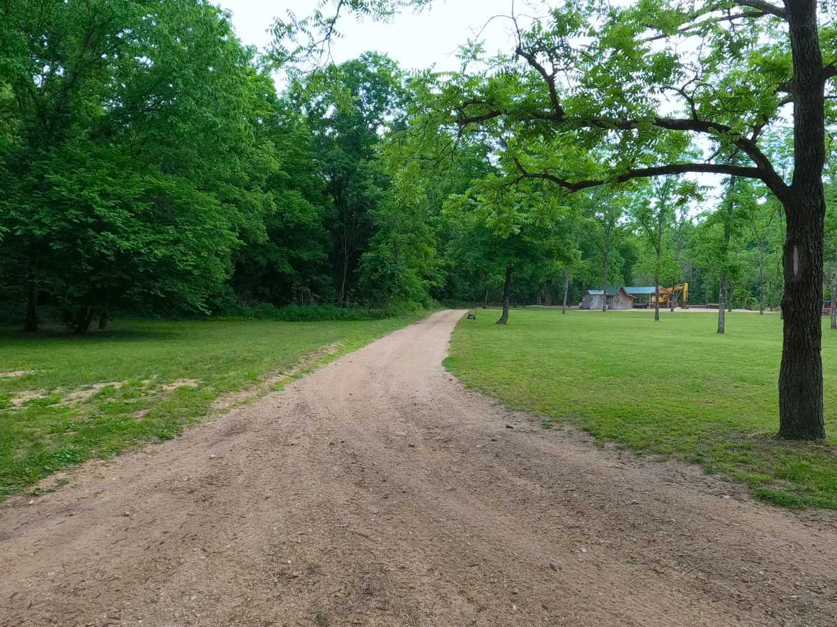
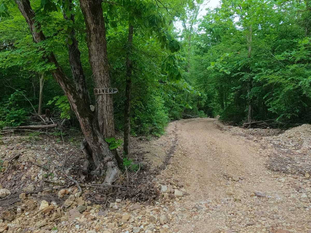
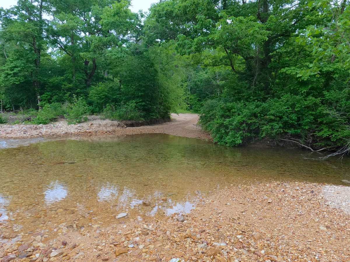
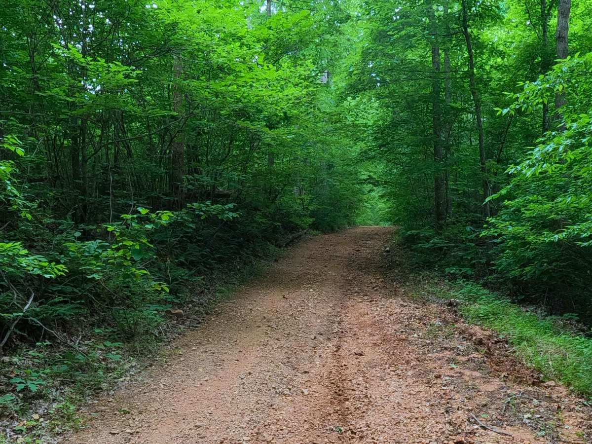
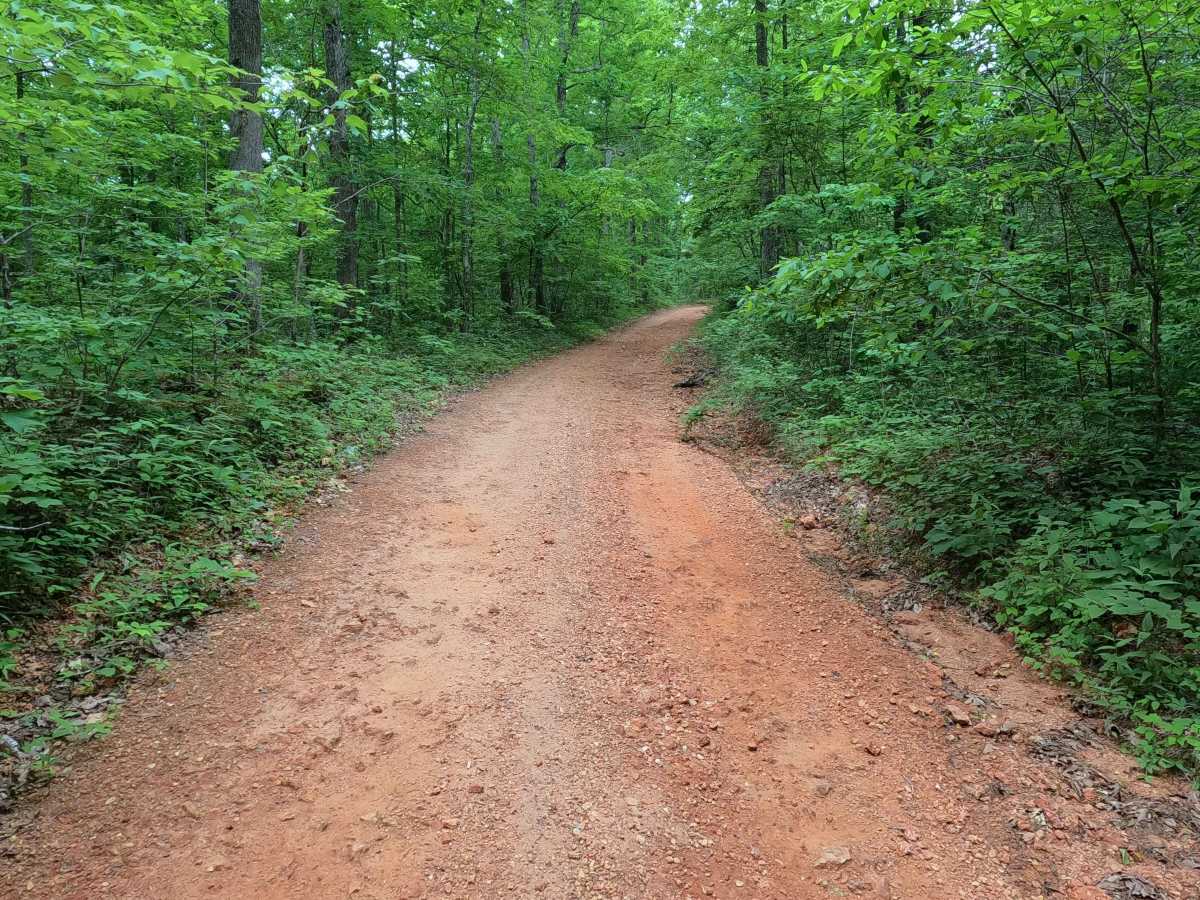
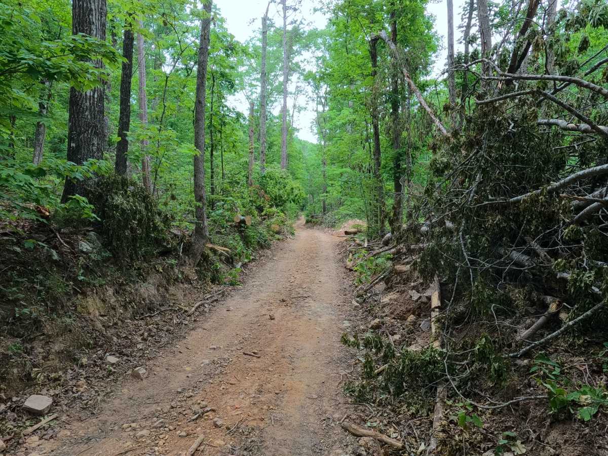
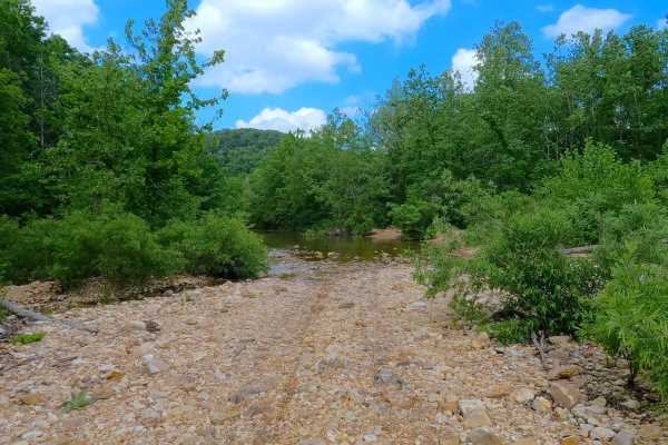
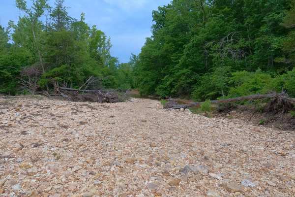
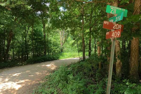
Junction Ferry or South Shannon County Road 235 is a coarse gravel road in the Blair Creek area within the Roger Pryor Backcountry / Pioneer Forest and Ozark National Scenic Riverways Land along the Current River. The road is laid out as a reversed large J shape, starting at its farthest north point at the intersection with North Shannon County 235 and Shannon County Road 263; the road heads south, first passing the Himont hiking trailhead and former fire tower site, then continues along the raised ridge for the first 8.8 miles, encountering rough coarse gravel, up to the point the road passes Colwil Lake to the east. At this point, the road heads rapidly downhill towards the Current River, encountering mild erosion and washes on the hills, and once in the river bottoms, being the furthest south section of the road, featuring small water crossings, creek gravel, and short-time muddy sections or water collection spots. This leads to the point where the road turns back north, climbing back uphill along the western edge of Wildcat Mountain, to drop on the far north side into Wildcat Hollow, where the road encounters a water crossing of Blair Creek, before reaching its southern conclusion at the intersection with South Shannon County Road 242 and 106B, marking the center point of the community of Gang. Due to the reversed J shape of this road, it acts both as the main parallel thoroughfare positioned to the west and as the southern exit/entry to the two main thrilling roads of the Blair Creek bottoms. On its northern end near Himont Trailhead, it connects to additional roads going east, west, and further north, in or out of the northern section of Roger Pryor Backcountry.
Difficulty
Junction Ferry is given a base rating of 3/10 due to the few small water crossings with loose creek gravel as the base along the track, the deepest being at Blair Creek, averaging 1 foot deep in summer. It is also safe to expect small erosion rutting on the mildly steep hills, scattered loose cobbles, small boulders or natural rock sticking up out of the road surface, spots where the surface turns into surface mud or wet sand, and potential small water collection holes. During normal rain events, water depth will increase at all crossings, increasing the difficulty. During flooding events of the Current River, it is possible that the bottoms could be flooded and have water covering large portions of the road, along both the Current River and Blair Creek, making the water crossings very deep and impassable. Consider the road closed during these flooding events; difficulty could also increase on the hilly section from further erosion due to lack of maintenance or from heavy use in between cycles.
History
The Junction Ferry derives its name from the Ferry that once operated from 1967-1969 just east of the confluence of the Jacks Fork and Current River, hence the "junction"; the ONSR's modern landing on the southern shore is called "Two Rivers". --- The Community of Gang, is the location of once a Lumber Community and Post Office (that operated from 1892 up to 1942) but now is a cluster of remote privately owned river cabins; the original community was affectionately named Gang after the tight-knit people that lived there. The Simpson School was located just west of the community and served it until Missouri rolled out the small school consolidation in the 1950's, specifically 1957 for the Simpson School. According to stories passed on from local families that once lived in Gang, the infamous 1925 Tri-State Tornado actually started at Gang, with evidence being the path of leveled trees left behind as it crossed Blair Creek at Gang that night. Documented By Christopher Menz on 10-2026


 Offroad