Trail Overview
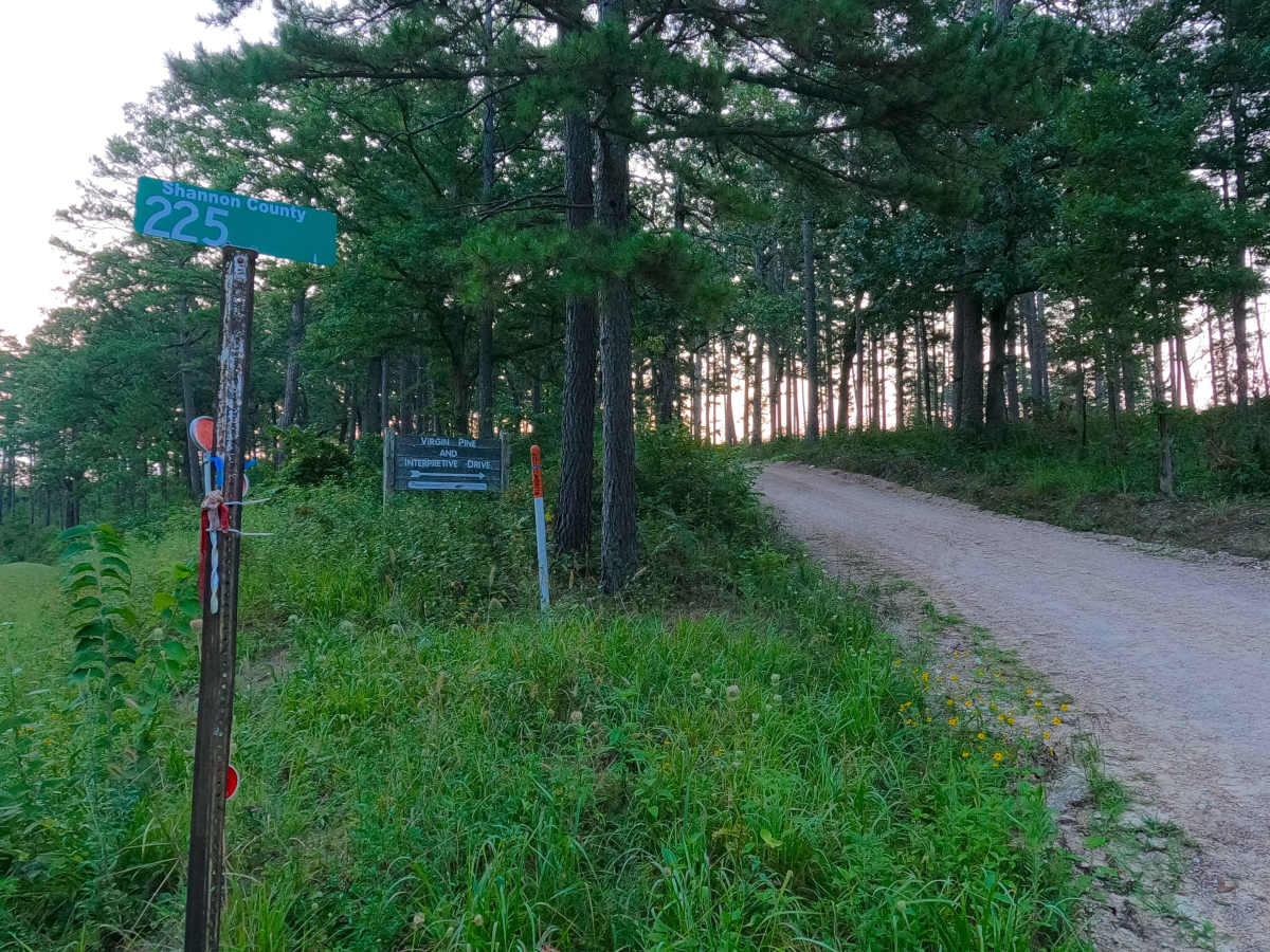
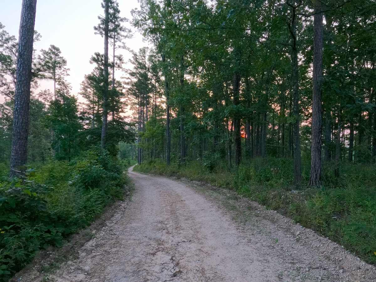
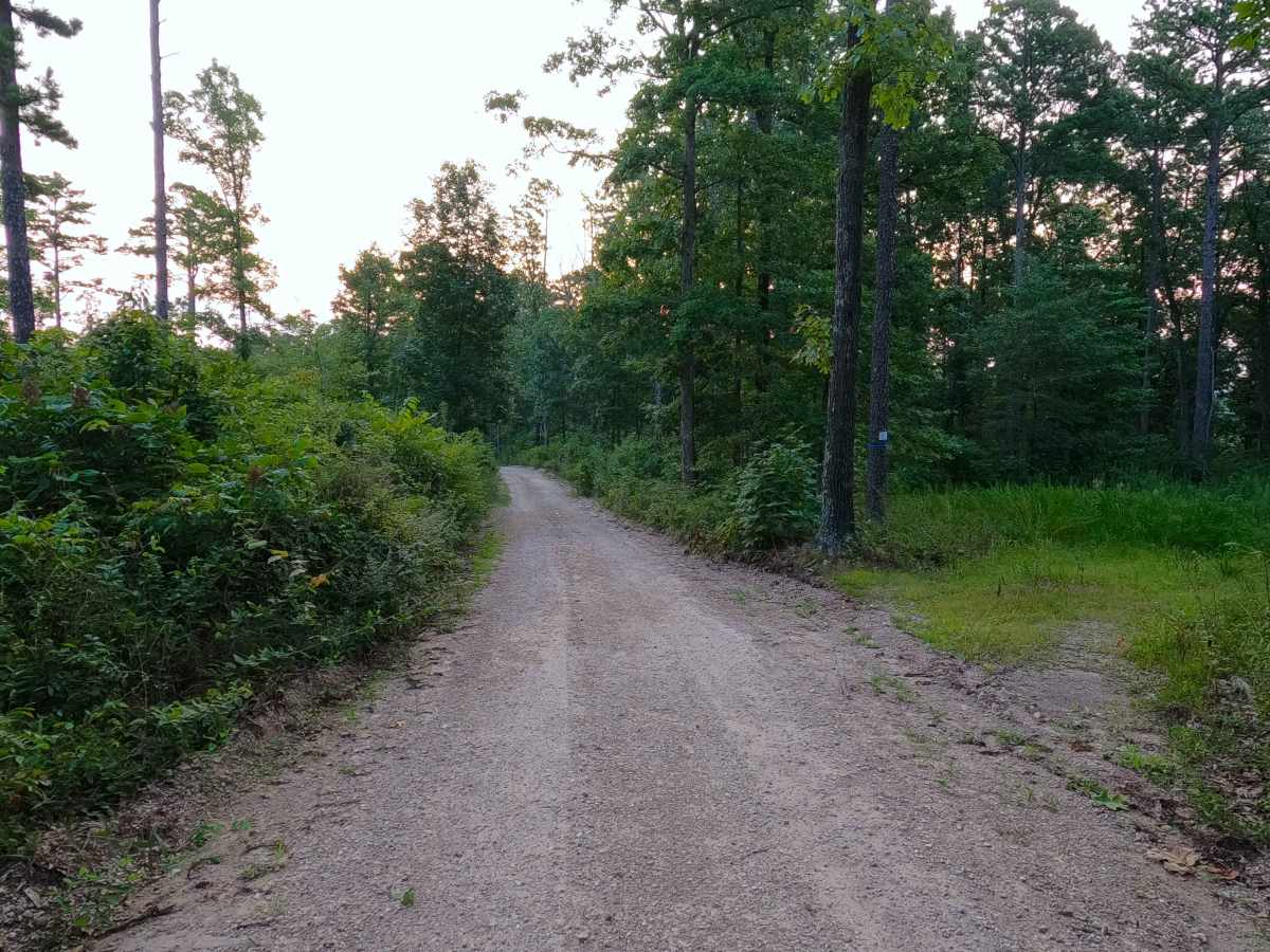
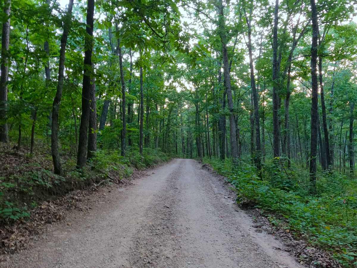
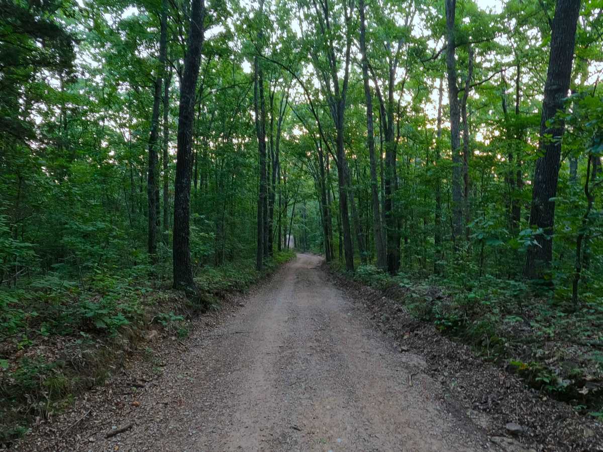
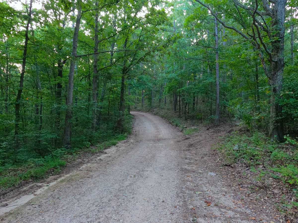
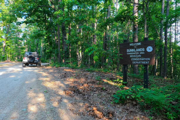
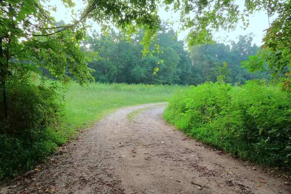
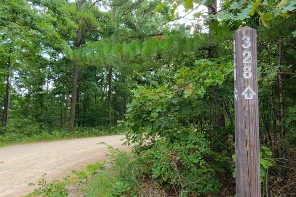
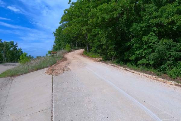
Shannon County Road 225, or the Virgin Pine and Pioneer Forest Interpretive Drive, is a rough gravel road through LAD Pioneer Forest and Ozark National Scenic Riverways land. The road begins at Missouri Route 19, heading east into the Pioneer Forest land, first passing some parking cutouts and a hiking trail designated the Virgin Pine Walk, which loops through the scenic corridor of giant pines along Highway 19. Following this, the road heads east, with the first 2 miles considered the Pioneer Forest Interpretive Drive, riding the curvy, winding spines of the ridge up to the 2.3-mile mark of the track, where the moderately steep hill descent begins, featuring natural rocks poking out at the surface, mild erosion rutting, and washed-out soft dirt sections of the road, heading towards the Current River bottoms over the next 0.9 mile. This leads to the point where the hill flattens out at an intersection with a short spur road going northeast, accessing a great view of the Current River. The main road from this same intersection turns aiming southward, now paralleling the river to the point the road meets the Grassy Creek, being a small water crossing within a foot of depth (in normal conditions), shortly followed by an intersection with the Lower Grassy Cemetery Road. From this intersection, the road turns west for a short stint, paralleling the Grassy Creek to the road's conclusion, at a 3-way intersection meeting the Missouri Department of Conservation Road 328 and a dead-end spur road accessing private property. Great road to use to access the Current and logistically plan a float, kayak, or canoe trip.
Difficulty
The SCR 225 is given a base rating of 2/10, for the Grassy Creek crossing being within a foot of depth on average, and for the moderately steep graded hill featuring natural rock poking out at the surface, soft sections where the road turns to dirt or surface mud, mild erosion rutting, and loose 4-10" cobbles lying in the roadway. It is also safe to expect all the gravel road complications such as potholes, washboarding, and mounding of the gravel. During flooding events of the Current River, it is possible that the river bottom section could be flooded and cover large portions of the road, especially at Grassy Creek, making that water crossing very deep and impassable. Consider the road closed during these flooding events; difficulty could also increase on the hill section from further erosion due to lack of maintenance or from heavy use in between cycles.
History
This is the history of the Virgin Pine Corridor that is present along Highway 19 for one mile, centered roughly at the intersection with Shannon County Road 225. The Missouri lumber industry had its heyday from the late 1800s to the early 1900s, vastly harvesting nearby forests to the point that there was nearly nothing left to cut. Timber towns, as quickly as they were built, disappeared, but in terms of rapid progression, the same can't be said for trees; those take time to come back. According to the Pioneer Forest / LAD Foundation, by the year 1940, the Missouri State Highway Department (Now MoDOT) had purchased this Virgin Pine Forest land along Highway 19 with the mindset to preserve it for the future, so that the traveling public could see a one-mile scenic corridor of the giant pines. In 1996, the LAD Foundation purchased this 41.4-acre plot of land from the Missouri State Highway Department, leaving them with the center 50-foot right-of-way, and the two agencies agreed to share responsibilities for the future protection of the forest of shortleaf pine giants. These Shortleaf Pine giants exceed 30 inches in diameter at the base and stand anywhere from 75 to 100 feet tall. As of 2026, the Virgin Pines are still present, towering tall, along Highway 19. When driving along Highway 19 into (or out of) the scenic corridor, just look for the sudden difference in the species and heights of the trees; the Virgin Pines are on both sides of the road and, being evergreens, remain green all year long. Documented By Christopher Menz in 9/2026.