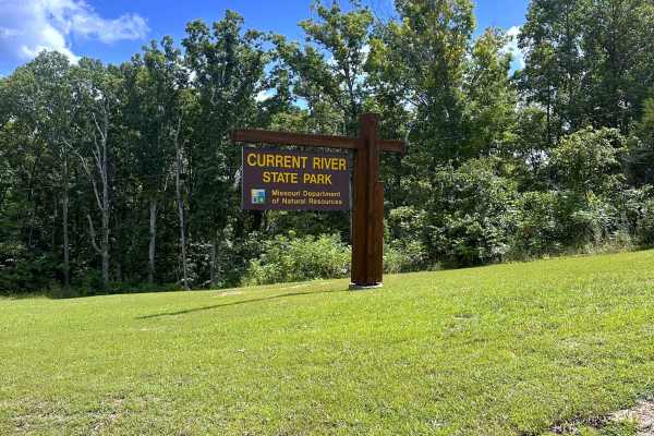
Trail Overview
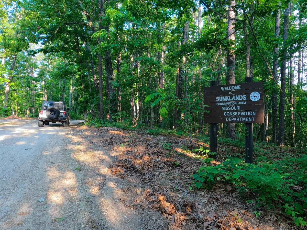
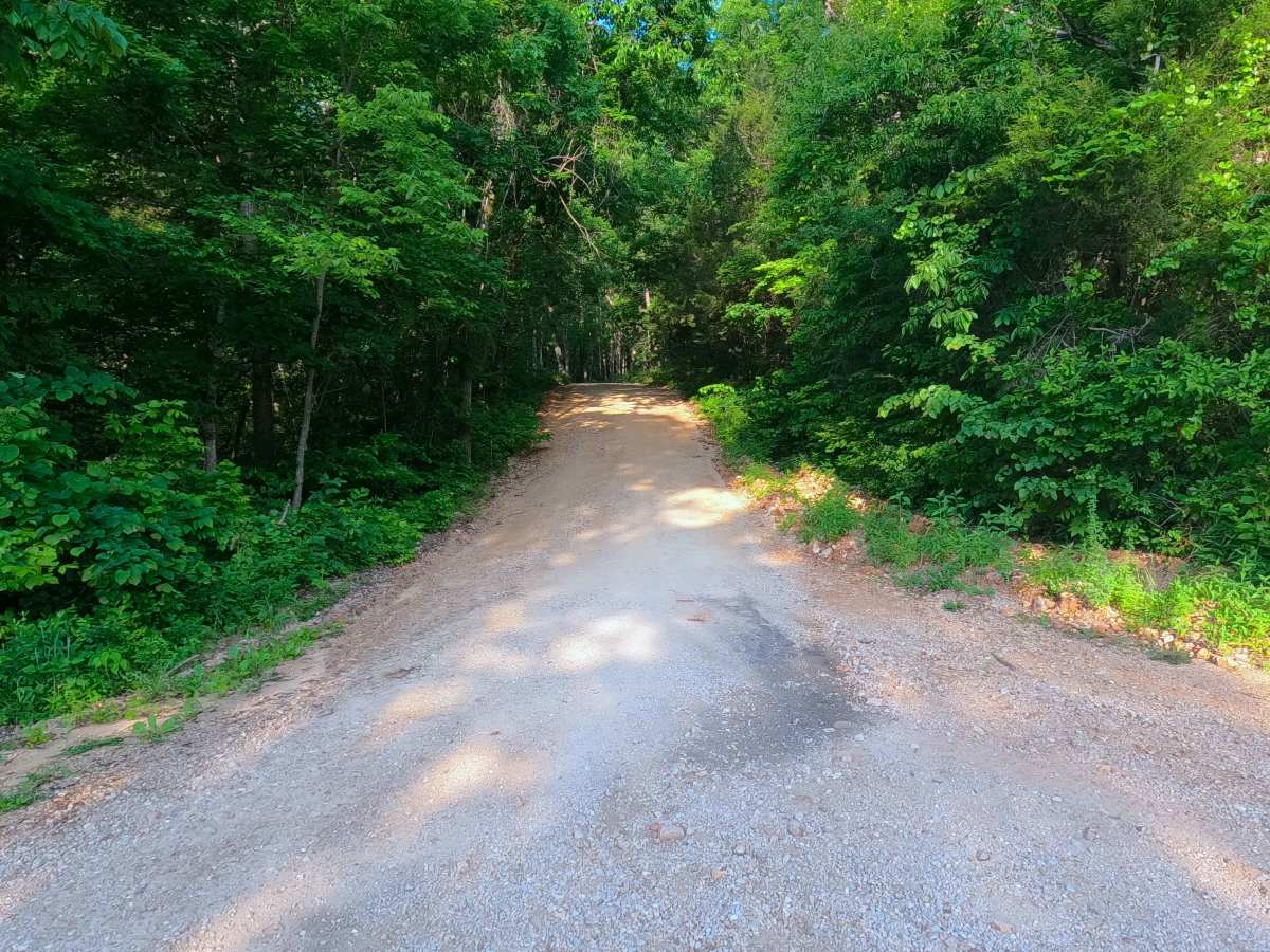
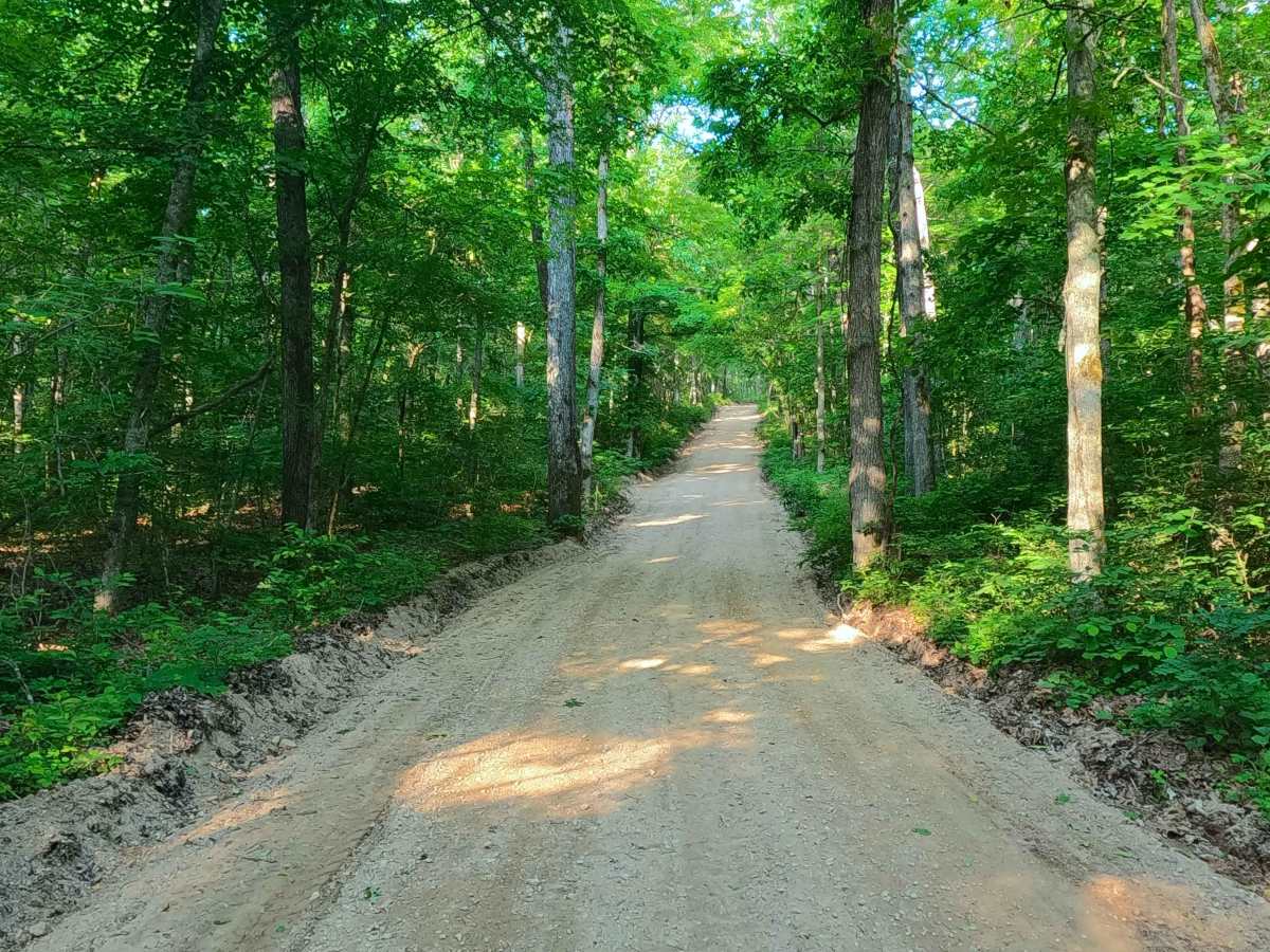
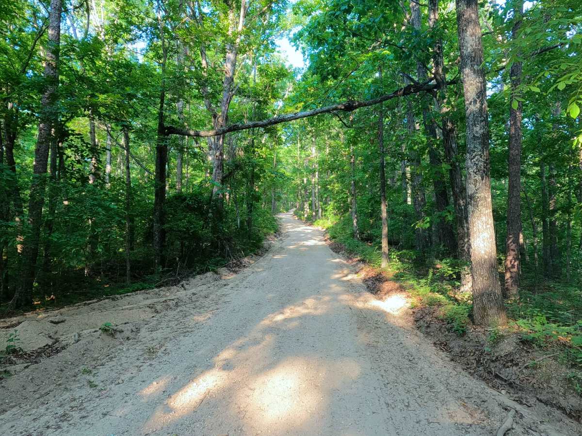
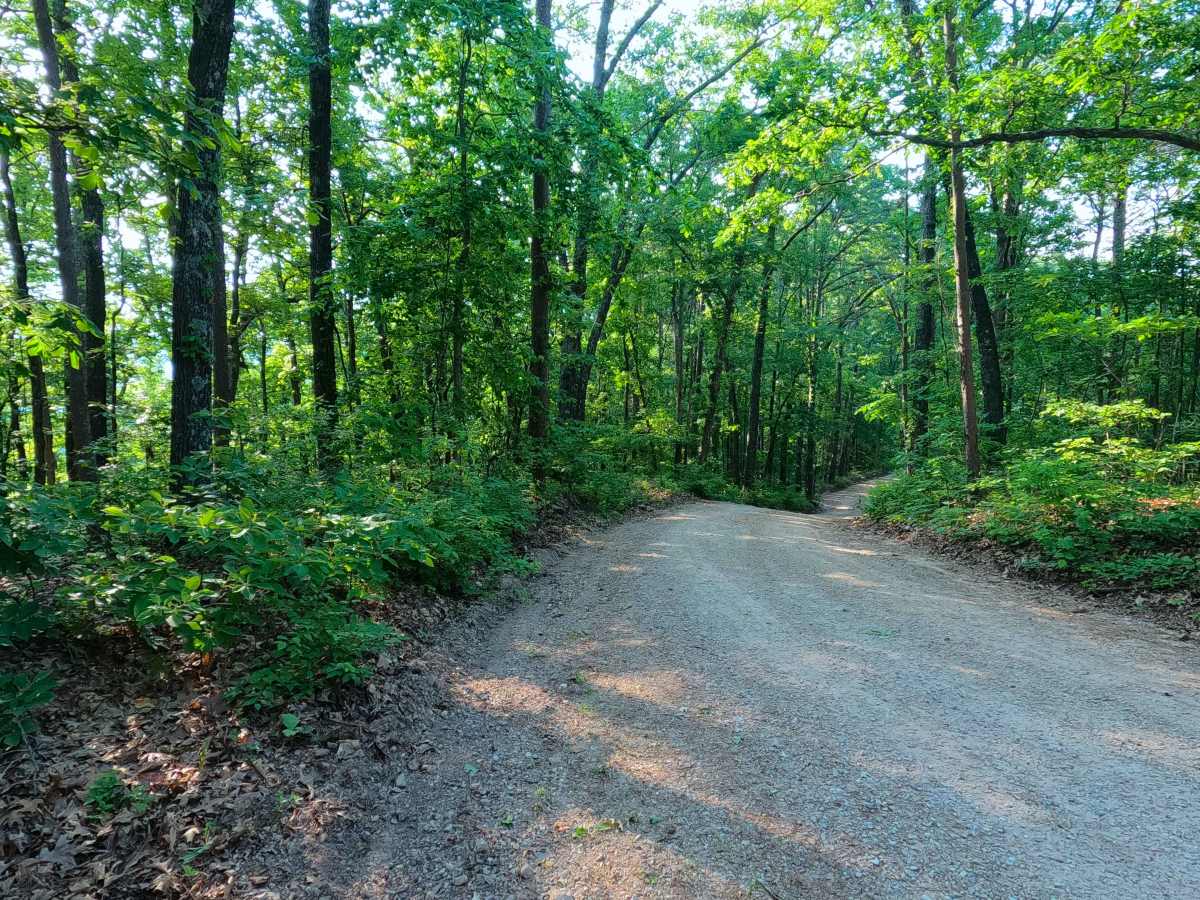
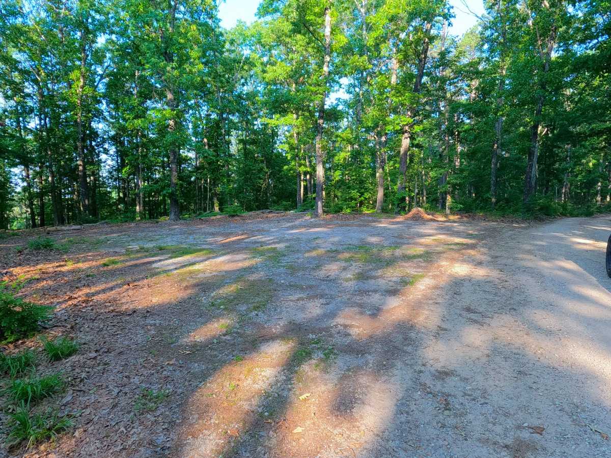
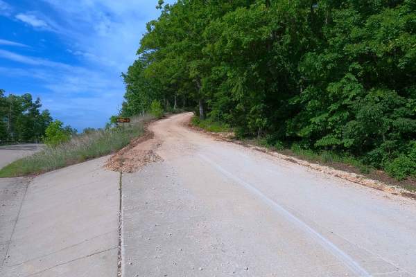
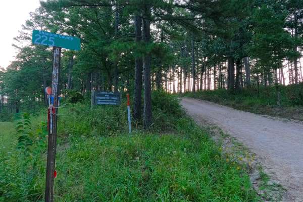
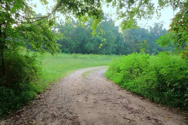
Shannon County Road 324 is a gravel road traversing the eastern hills of the Sunklands Missouri Department of Conservation Area and a small portion of Ozark National Scenic Riverways Land. Starting at Missouri Route 19, the eastern end climbs the largest hill, featuring washes and mild erosion, then drops downhill into a small valley, passing Shannon County Road 322, then slowly climbing, on average, uphill over the spines and curves of the ridge top to the destination at the triangle intersection with Shannon County Road 325 and MDC Road 350. A logistical road used to connect Echo Bluff State Park, Round Spring NPS, and the Roger Pryor Pioneer Backcountry Lands and Sunklands Missouri Department of Conservation Area.
Difficulty
SCR 324 is given a base rating of 1/10. It has only mildly graded hills, with gravel washes and mild erosion on the steeper hills. It is safe to expect normal gravel-road complications, such as washboarding, potholes, and gravel mounding. Only in extreme scenarios, such as inclement weather or prolonged heavy rain, or with severe lack of maintenance, would the road see any change in difficulty rating; this is unlikely, as the road appears to be graded often.