Trail Overview
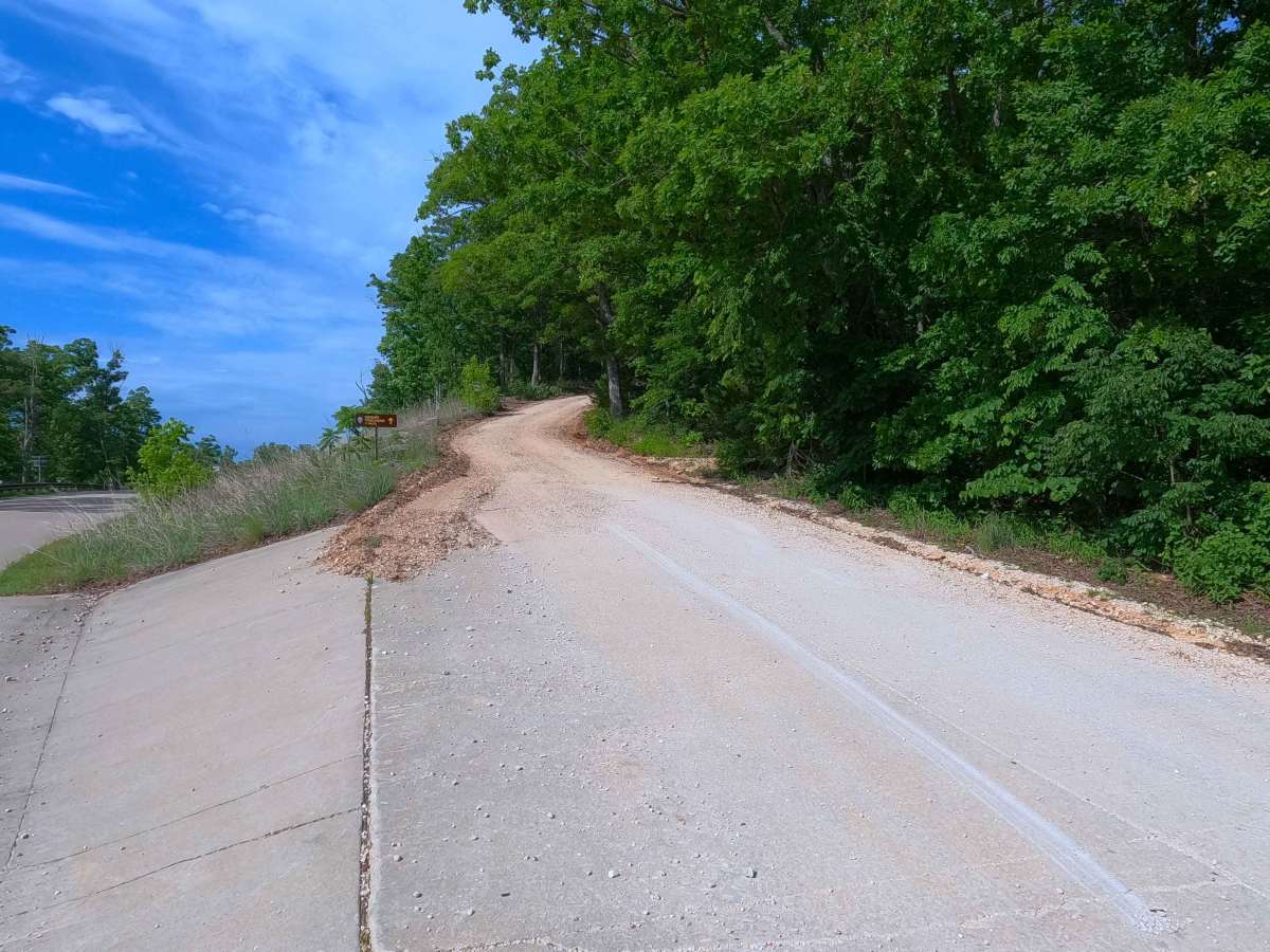
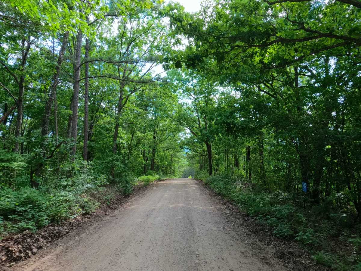
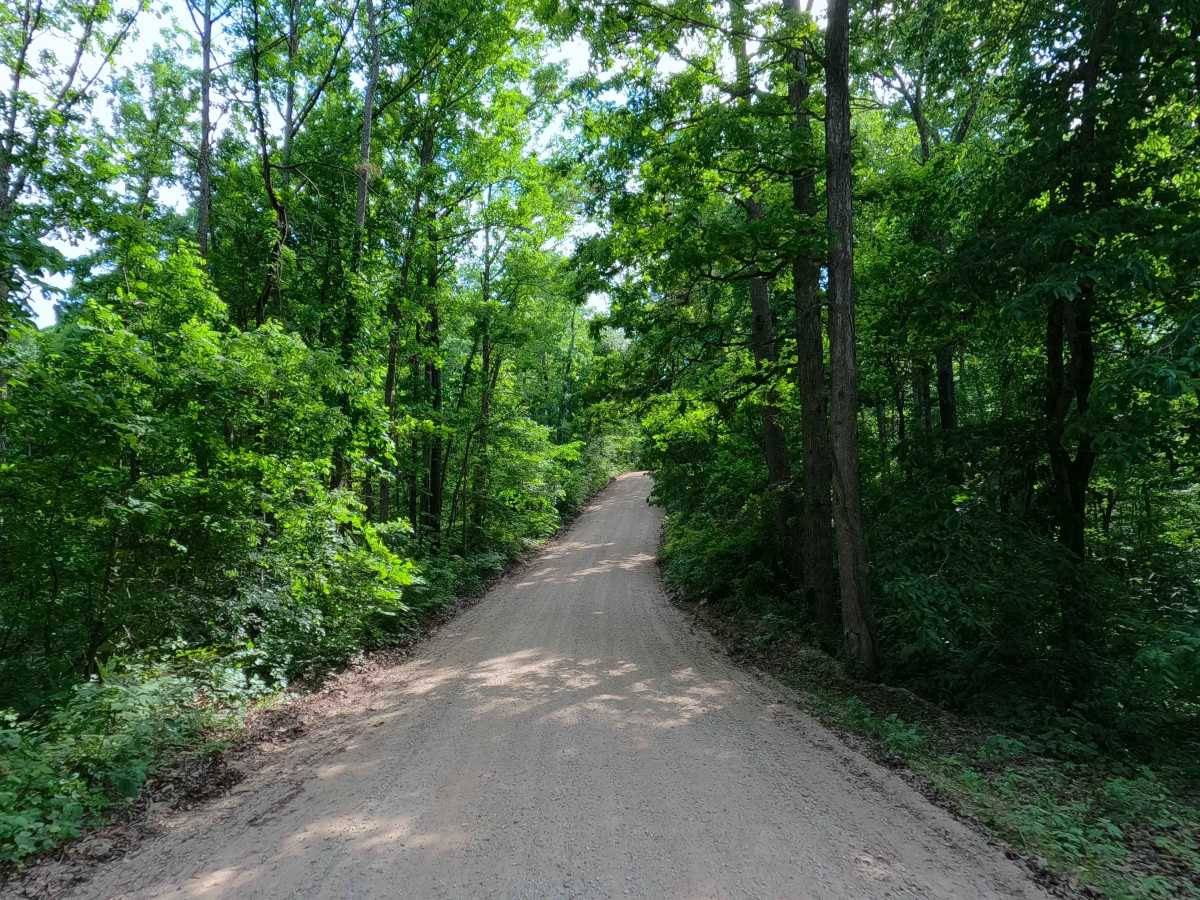
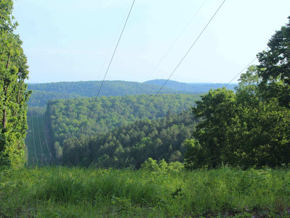
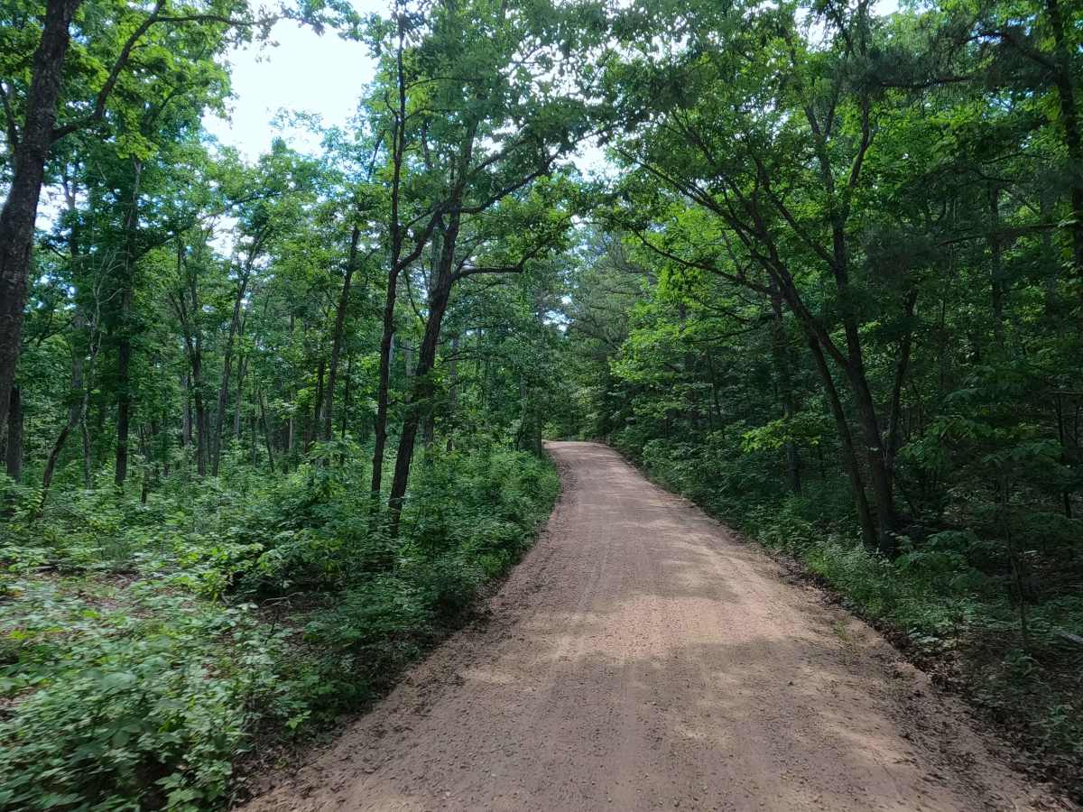
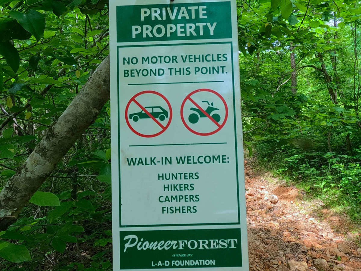
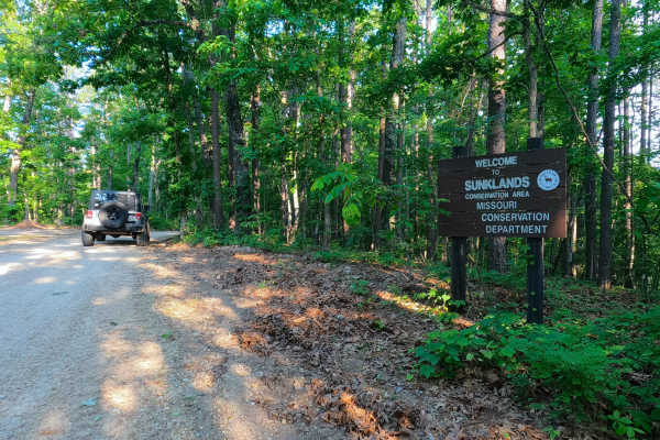
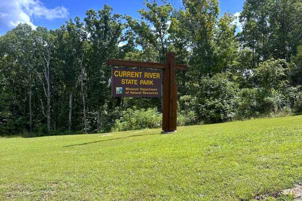
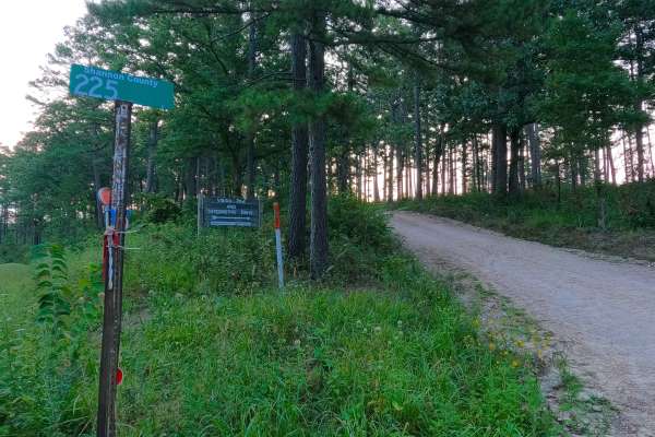
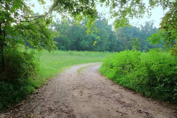
Camp Zoe Road, Mauser Mill Road, or Shannon County Road 250 is a rough gravel road through the Roger Pryor Pioneer Backcountry/Pioneer Forest Land and a small portion of the Echo Bluff State Park. The Camp Zoe Road, on the western end technically starts as a paved road off of Missouri Route 19, head east for the first .6 mile, to the point the pavement turns left and into the Echo Bluff Drive, while going to the right the gravel of the Camp Zoe Road starts, riding along the ridge top spines for the first 4 miles, featuring washes and mild erosion on the mildly graded hills, then dropping downhill into the Warren and Schoolhouse Hollow Valley, featuring several splash-level low-water crossings, before passing the geographic location of Mauser Mill, to then climb back uphill to meet another 3 mile section of ridge top spines, before ending at the intersection with the Shannon County Road 263. In conjunction with Shannon CR 263, this acts as the main northwest entry/exit into the Roger Pryor Backcountry and Blair Creek area, logistically going west to Missouri Route 19 near Echo Bluff SP and Round Spring NPS.
Difficulty
The Camp Zoe Road is given a 2/10 for having mildly washed and eroded hills on the ridge top sections, as well as small splash depth (under 12" on average) and low water crossings in the valley section of Warren and Schoolhouse Hollows. It is also safe to expect all the gravel road complications such as potholes, washboarding, and mounding of the gravel. During flooding events in the Current River area, it is possible that the downstream river could charge Big Creek and its tributary creeks, causing the water crossings of the road to become very deep and impassable. Consider the road closed during these flooding events; difficulty could also increase on the hill section from further erosion due to lack of maintenance or from heavy use between cycles.
History
Camp Zoe Road historically led to the coed and girls' camp of the same name, which was located in the Sinking Creek valley just to the east of Missouri Highway 19 and the Current River. This camp operated from 1929 to 1986, and featured Stone and Timber buildings on a 350-acre plot of land. In the 1980s, camper attendance began to shrink, and the long-time owners Jack and Lois Peters sold the camp to a religious organization, which made little changes to the facility through the 1990s, using it mainly as a retreat area. This led up to the 2004 transfer of ownership to the Grateful Dead tribute band, the Schwag, who bought the property to transform it into a music festival venue, addressing repairs to some of the rougher parts of the camp, mending showerhouses and cabins, and clearing some cabins on the northern portion of the property to make a large enough area to host a stage and attendees. The Schwag from these renovations created annual events under names such as Schwagstock and Spookstock. Where the Camp Zoe story takes a serious turn happens at the conclusion of the 2010 Spookstock, when the Federal Drug Enforcement Agency raided the camp, later filing in court that the camp and festivals were the site and facility of widespread illegal drug sales and use, which turned into the federal government seizing the property. Roughly 3 years later, the State of Missouri would purchase the property for $640,000 in an auction, starting the Echo Bluff State Park era of the original Camp Zoe property, to open its doors to guests for the first time on July 30th 2016. Documented by Christopher Menz on 10/2026