Trail Overview
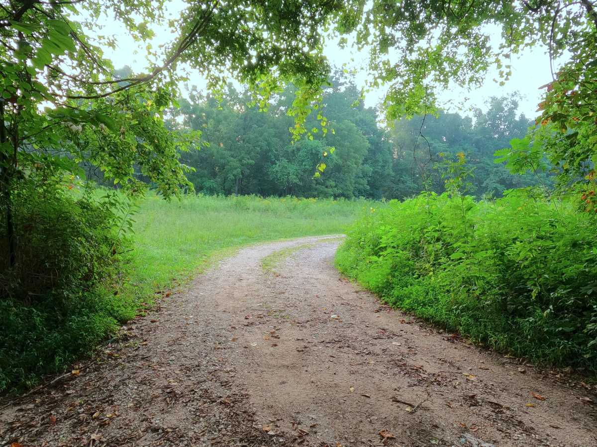
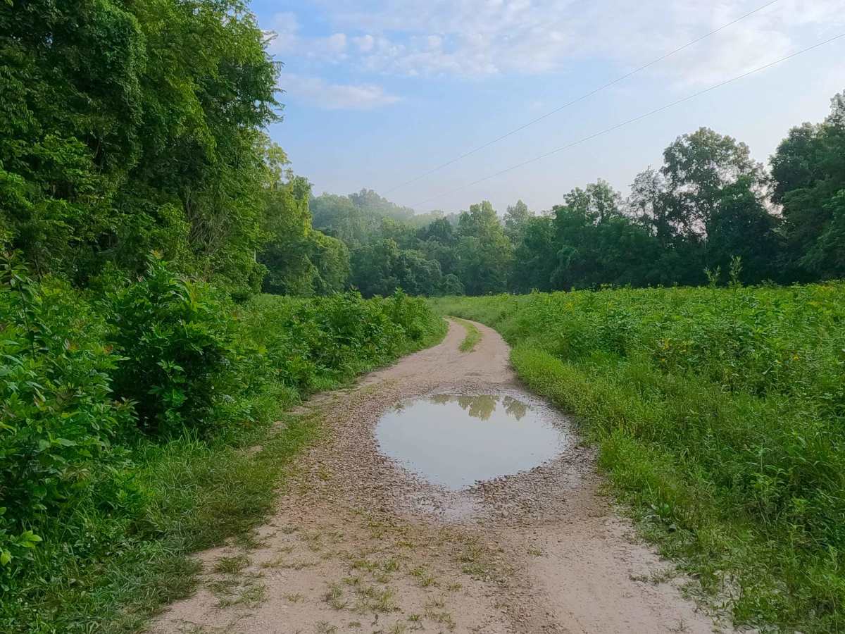
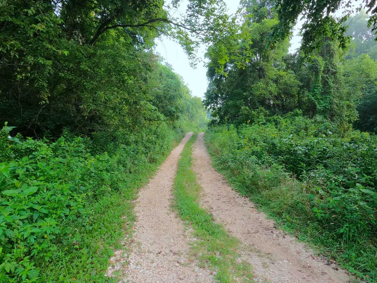
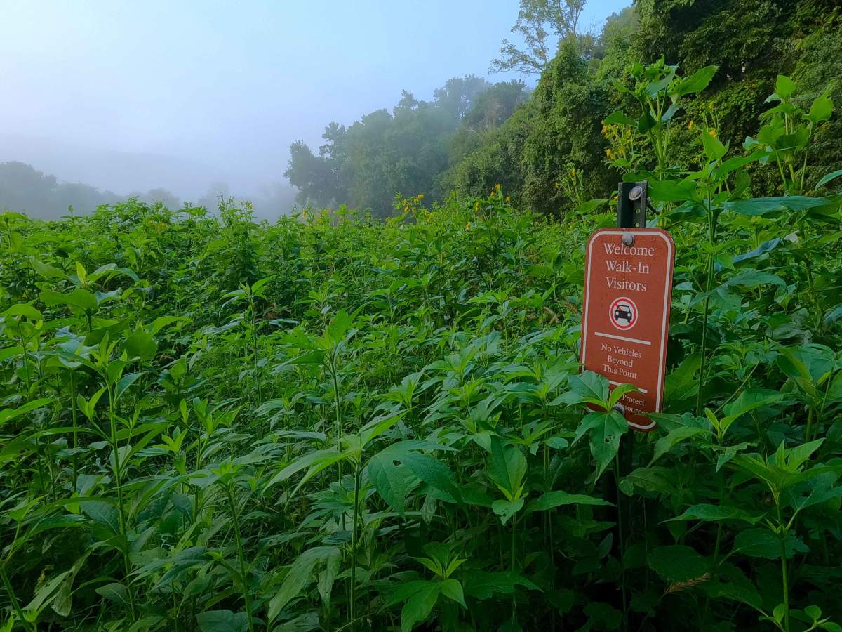
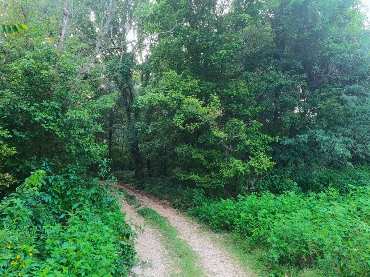
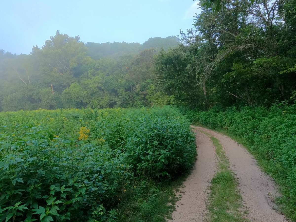
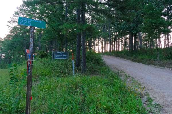
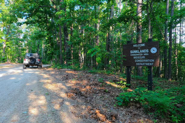
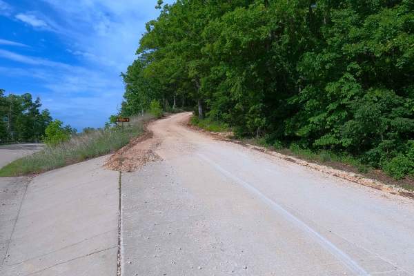
Lower Grassy Cemetery Road is a gravel and dirt/sand spur road within the Ozark National Scenic Riverways land along the Current River. The road spurs off Shannon County Road 225, forming a U-shaped track ultimately heading East towards and ending alongside the Current River. This road consists mostly of a creek gravel base terrain, being soft and unpacked in spots, with small sections of mostly sand, and features such as water collection holes. Within the tree line, which the U-shaped road surrounds, lies the Lower Grassy Cemetery, which has been here since the late 1880's. Users must turn around at the loop surrounding a tree right next to the Current River; do not drive or park in the river.
Difficulty
Lower Grassy Cemetery is given a 2/10 base rating, featuring a coarse creek gravel base road with small splash-depth water holes, loose sand, and unpacked gravel, with potential flooding / heavy rain causing waterlogged terrain to become extra soft, increasing the difficulty, potentially to the most extreme, and closing the road due to severe flooding conditions. In dry seasons, with well-packed gravel or the lack of any wet features, the road can also drop in difficulty.
History
Lower Grassy Cemetery is the final resting place of 20 lives spanning nearly 190 years (1833-2023). The first burial happened in 1887, with the most recent occurring in 2023. Please respect those who came before us; leave the cemetery as good as or better than it was found.