Trail Overview
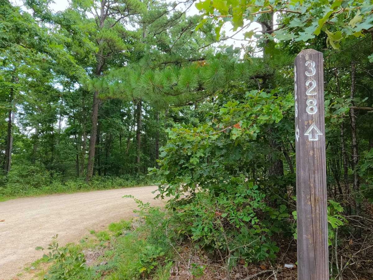
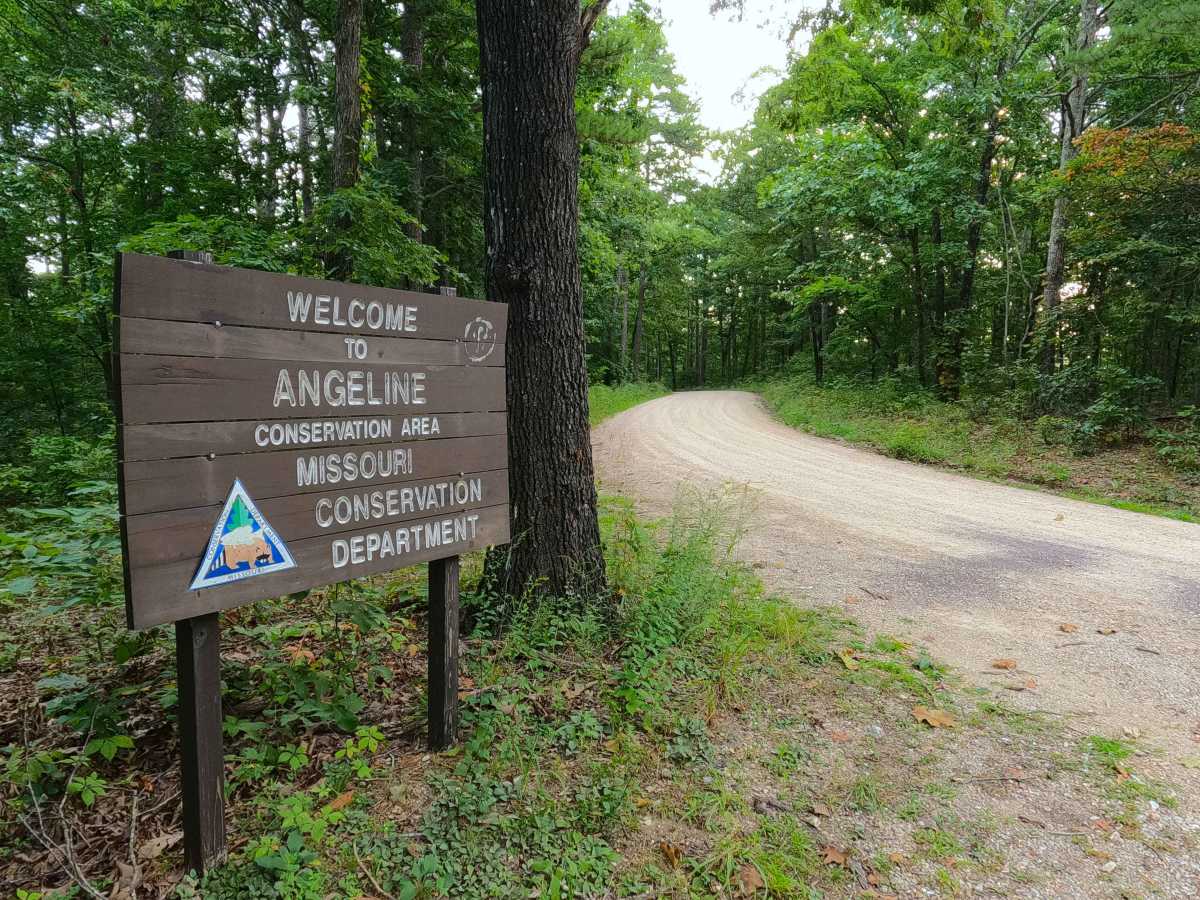
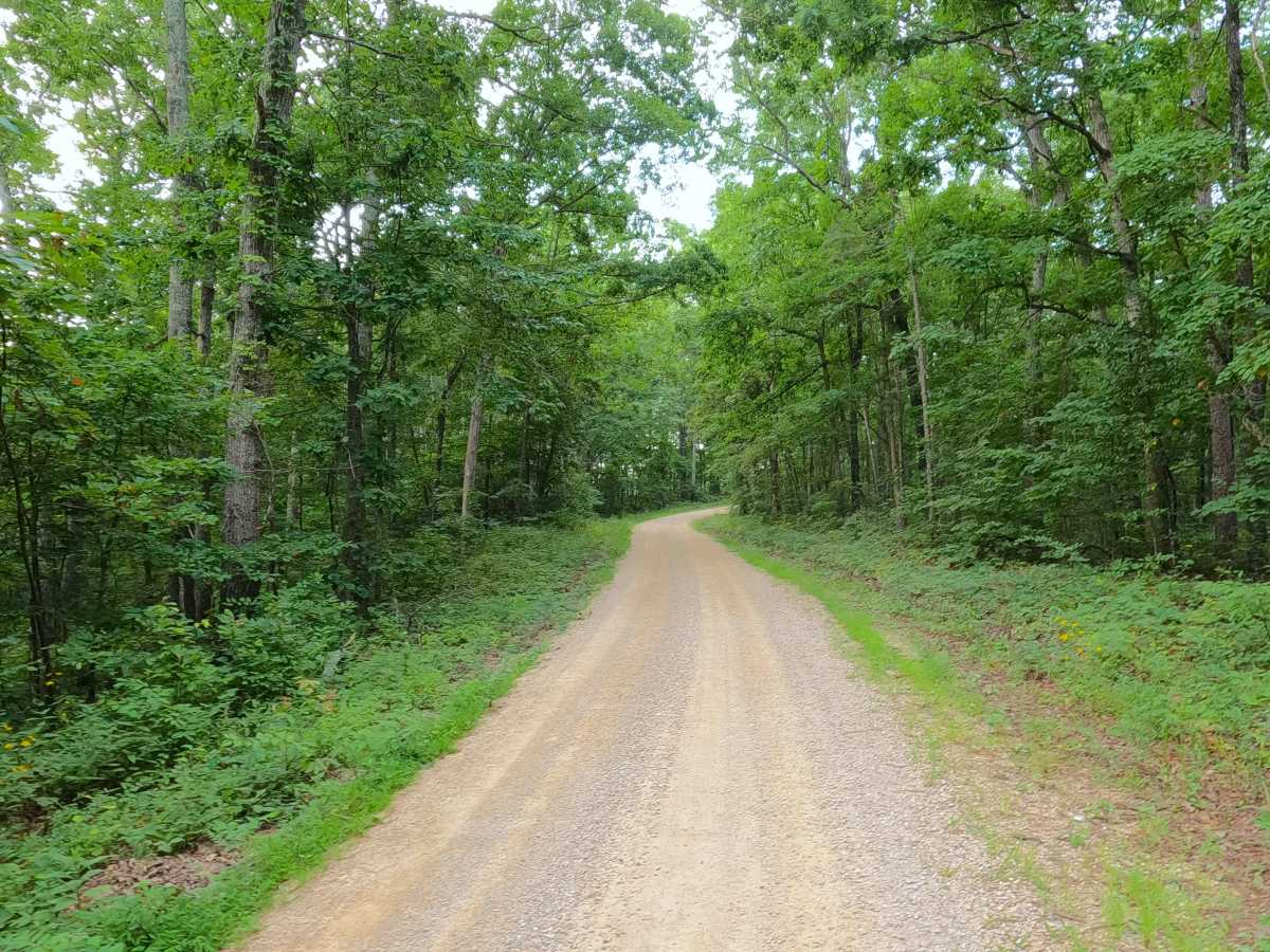
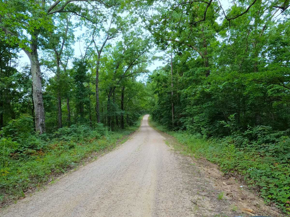
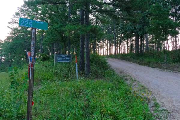
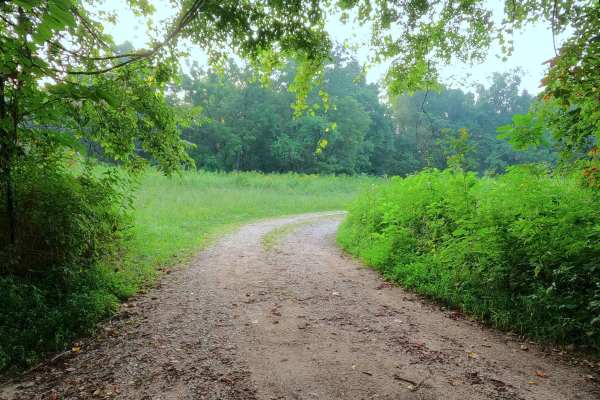
Grassy Creek Ridge, or Missouri Department of Conservation Road 328, is a gravel road through the east section of the Angeline Conservation Area. The road begins on Missouri Route 19, head north-northeast, going towards the confluence of the small Grassy Creek and the mighty Current River, along the first mile of the track, the road curves, winding along the spines of the ridge, then the track descends one steep graded hill, into the bottoms hosting the Grassy Creek, of which the road crosses one rainwater water runoff crossing (usually dry) to then shortly meet the 3-way intersection with the Shannon County Road 225, and a small dead-end spur road accessing private property. Users must continue in this direction via SCR 225, or turn around and head back the way they entered.
Difficulty
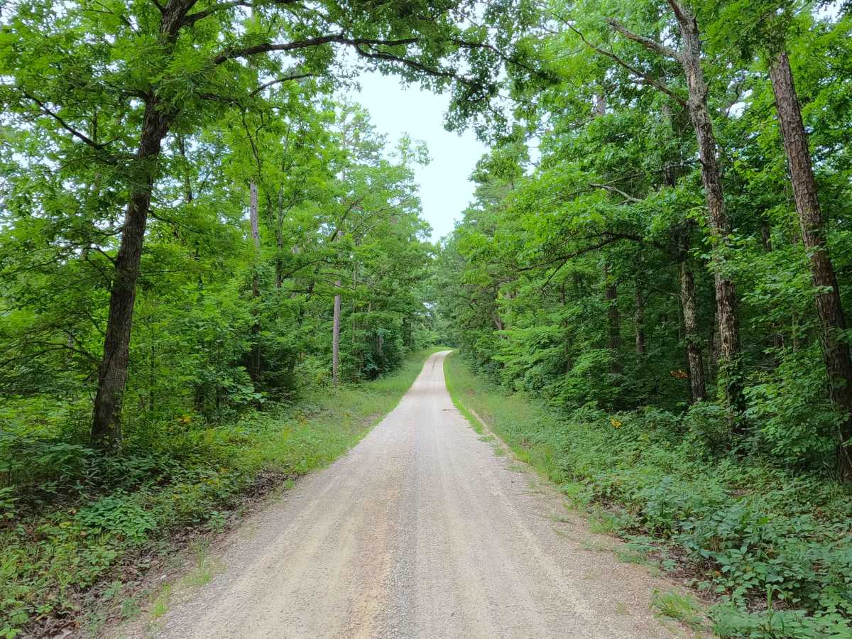
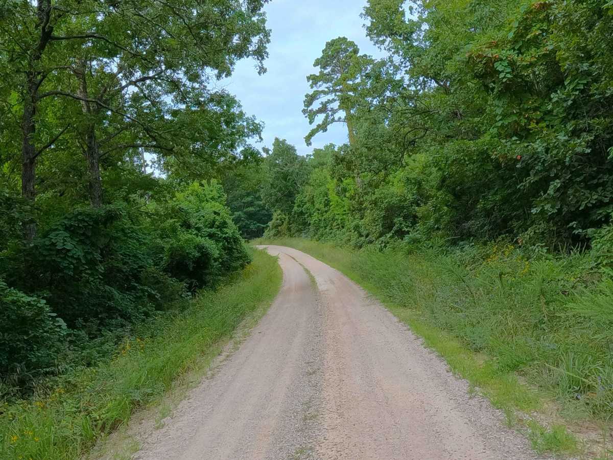
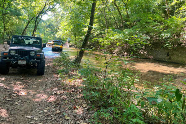
Grassy Creek Ridge MDC 328 is given a 1/10 base rating for being a generally well-maintained gravel road, having one steep graded hill on its north end, and having potential washes and erosion between maintenance cycles. Expect the normal gravel-road complications of potholes, washboarding, and gravel mounding. During rain and wet conditions, the one water runoff crossing at the bottom of the hill could have splash-level water in it, giving a rating change to a 2/10. In rare circumstances, flooding of the Current River could back up along the Grassy Creek and flood the bottoms at the north end of this road; in those situations, consider the water uncrossable and the road closed.

 Offroad