Trail Overview
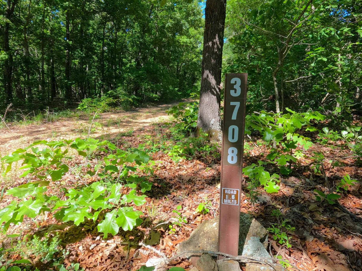
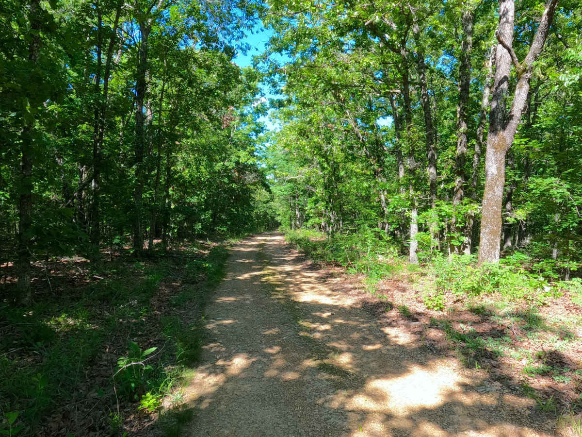
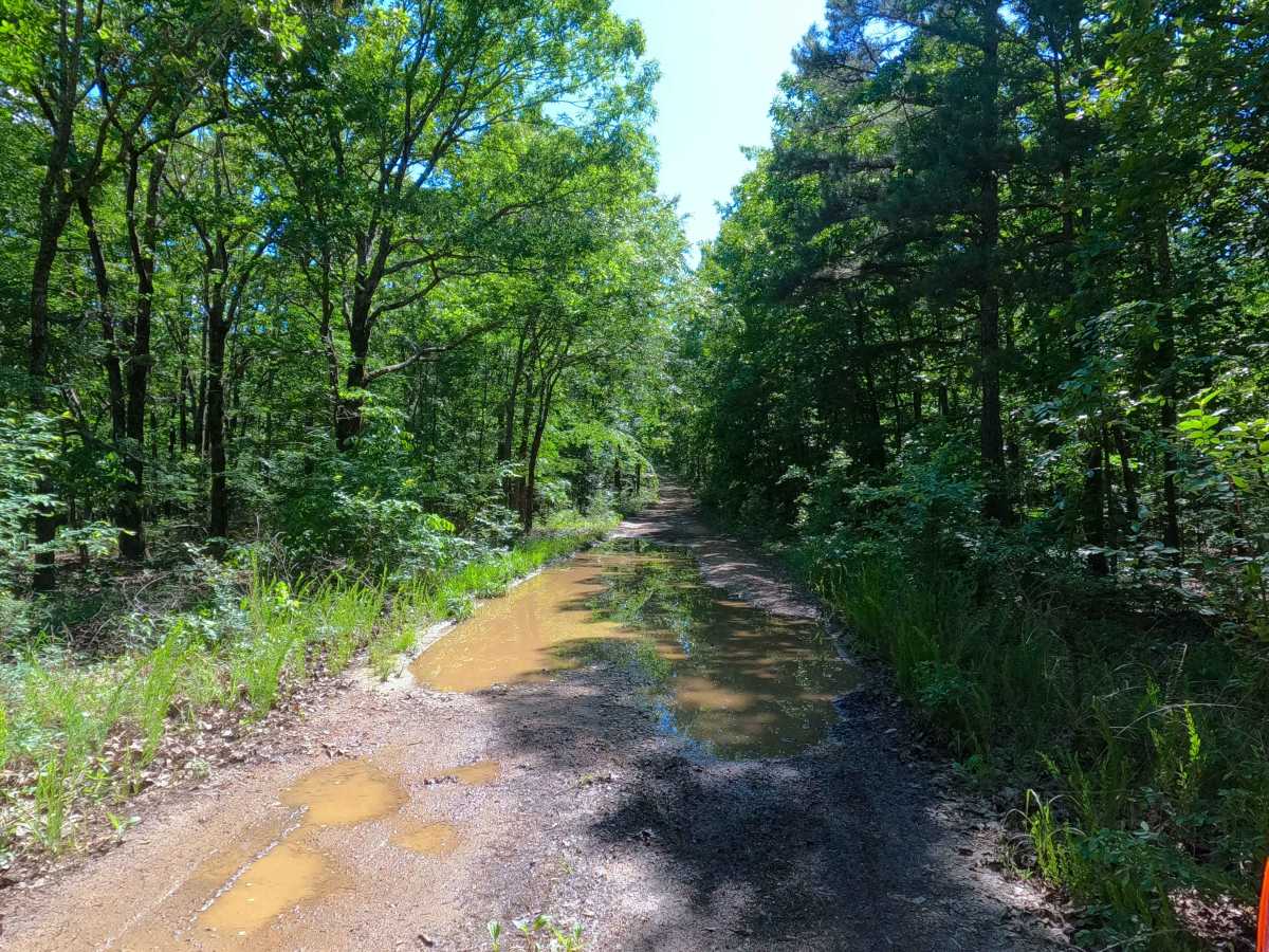
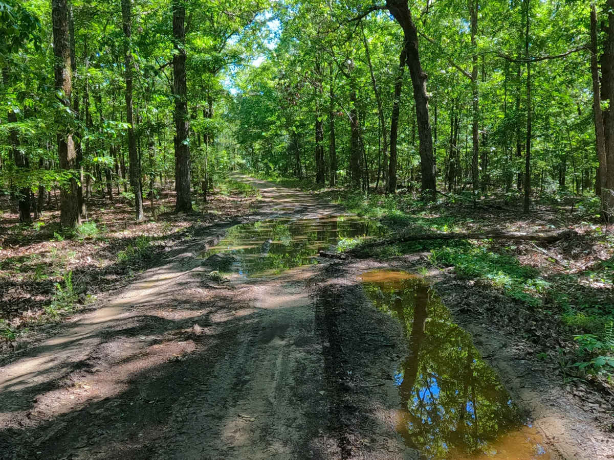
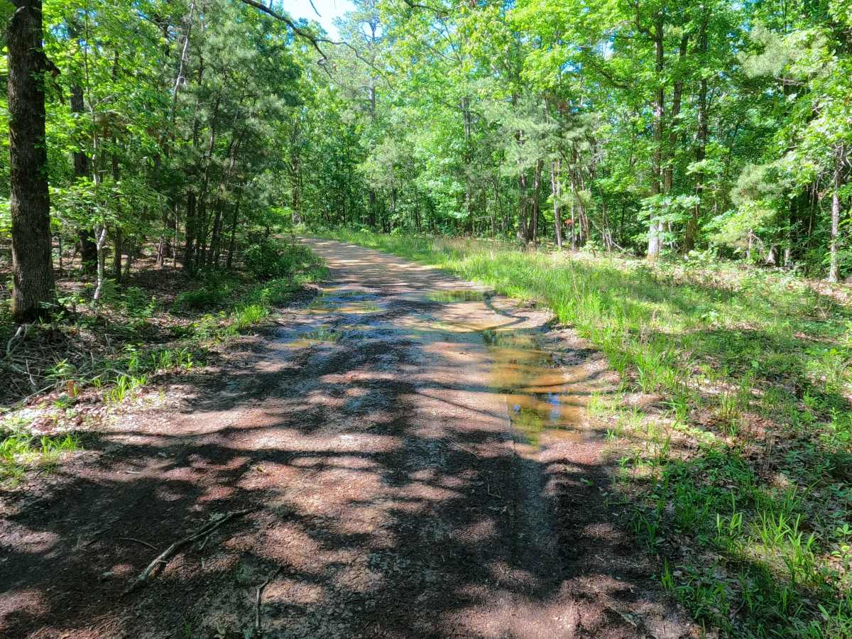
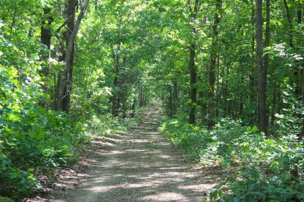
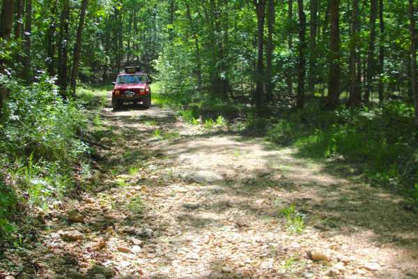
Pinhook (FS 3708) is a gravel and dirt Forest Service road within the Poplar Bluff Unit of Mark Twain National Forest. Pinhook starts going northeast from Butler County Road 436, heading along the raised ridge and peak of Pinhook Hill, encountering some water collection spots and surface mud along this section. After the first 0.6 mile, the elevation starts to shed off consistently, going down a mild graded hill to the 1.2 mile mark, where the road meets a steep downhill section with active erosion, exposing coarse gravel and cobbles, with natural rock poking out of the surface, leading to the valley bottom, crossing a small water runoff creek, after which the road climbs back uphill over mild erosion and ruts, to shortly level out meeting an opening with the turnaround loop, marking the MVUM sanctioned end of the road, where users must turnaround and head back out the way they entered.
Difficulty
Pinhook is given a 3/10 base rating for having a splash-depth water crossing and a steeply graded hill featuring natural rock poking out at the surface, coarse natural gravel, and loose 6-10 inch cobbles, both located in the valley section; this hill being the only thing pushing the 3/10 rating due to the steep grade over loose rock terrain. The ridge top section also includes water collection spots, as well as surface mud in the well-shaded parts of the trail; the hills also feature mild erosion and rutting. It is also safe to expect all the gravel road complications, such as potholes, washboarding, and mounding of the gravel. Difficulty can increase in times of wet conditions, rainy seasons, and through a lack of maintenance or heavy use.