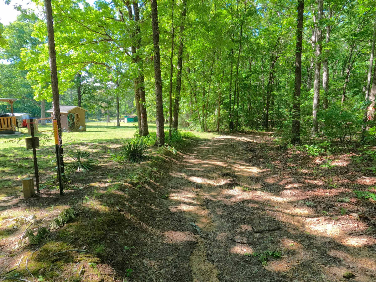
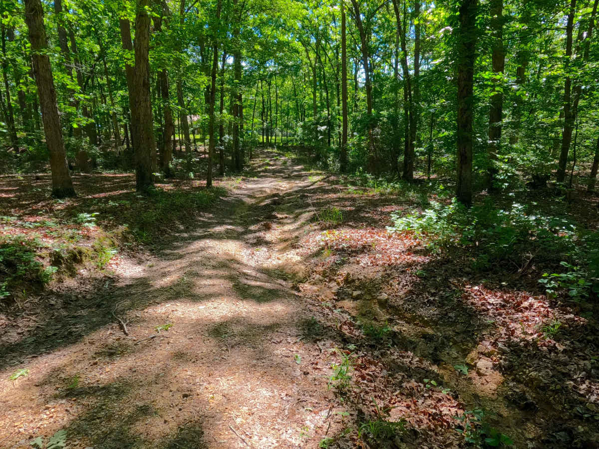
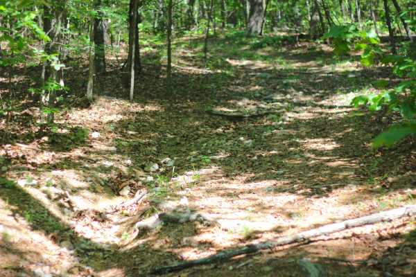
Trail Overview
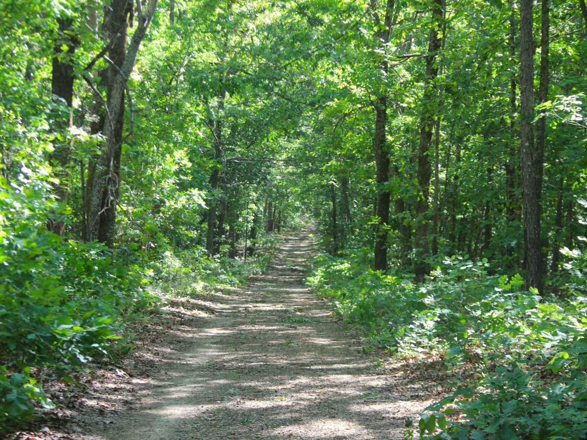
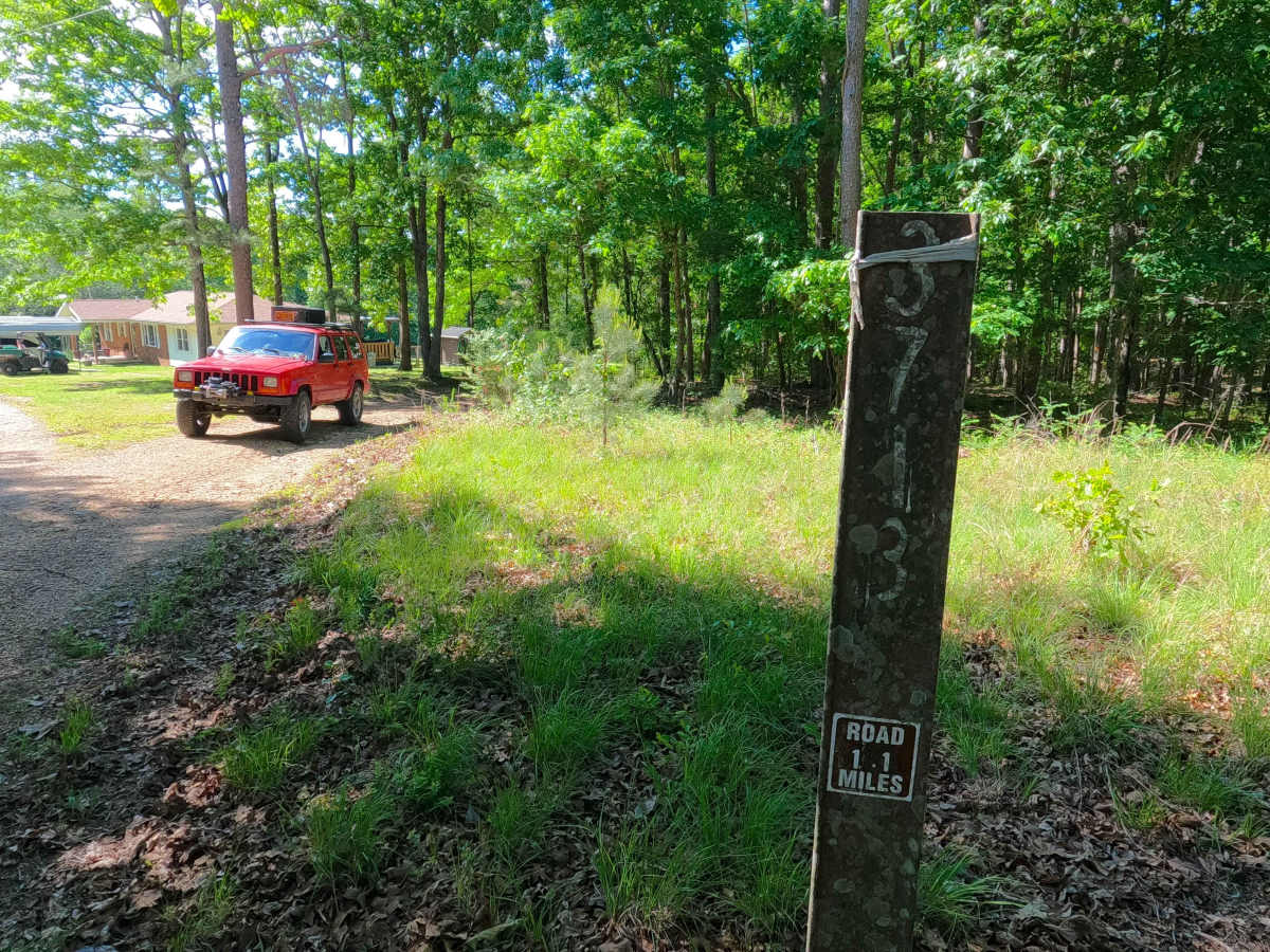
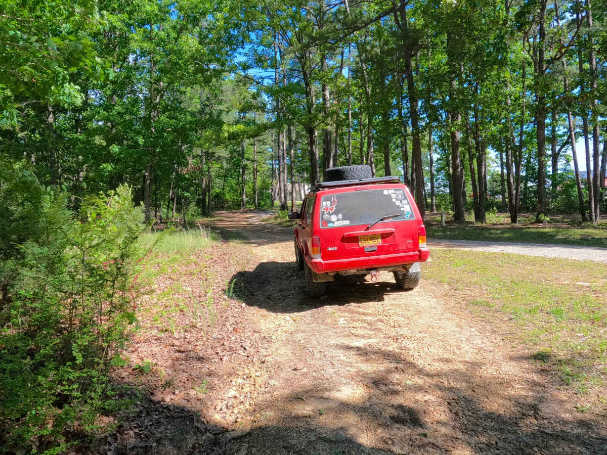
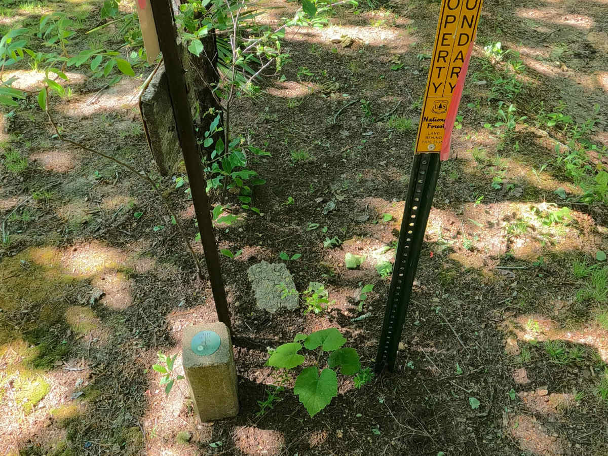
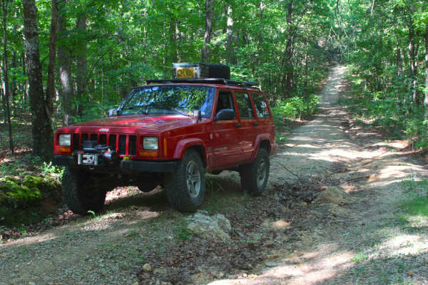
Gobbler Hollow (FS 3713) is a natural gravel and dirt forest service road within the Poplar Bluff Unit of Mark Twain National Forest. Gobbler Hollow starts off Missouri Route PP, headed south, first passing between private homes to access the Forest Land, where the road passes its lowest point, being a mild water runoff area where the road turns westward to then climb rapidly up a mildly eroded hill that parallels the southern edge of private property to its north, up to the point it reaches the ridge top where the road gently continues through the dense trees, as it encounters a mild down hill, to be followed after by elevation changes along the remaining spines of the ridge, before ending at a small opening at the sanctioned MVUM end, here users must turn around and head back out the way they entered.
Difficulty
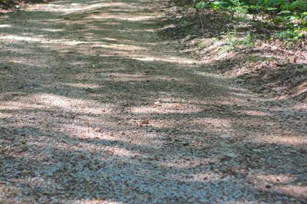
Gobbler Hollow is given a base rating of 1/10, having mild active erosion on the eastern hill of the track and potential surface mud along water runoff area and the flat sections of the ridge top. It is also safe to expect all the gravel road complications, such as potholes, washboarding, and mounding of the gravel. Difficulty can increase in times of wet conditions, rainy seasons, and through a lack of maintenance or heavy use.