Trail Overview
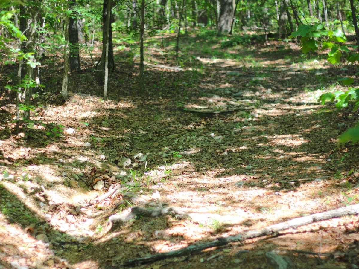
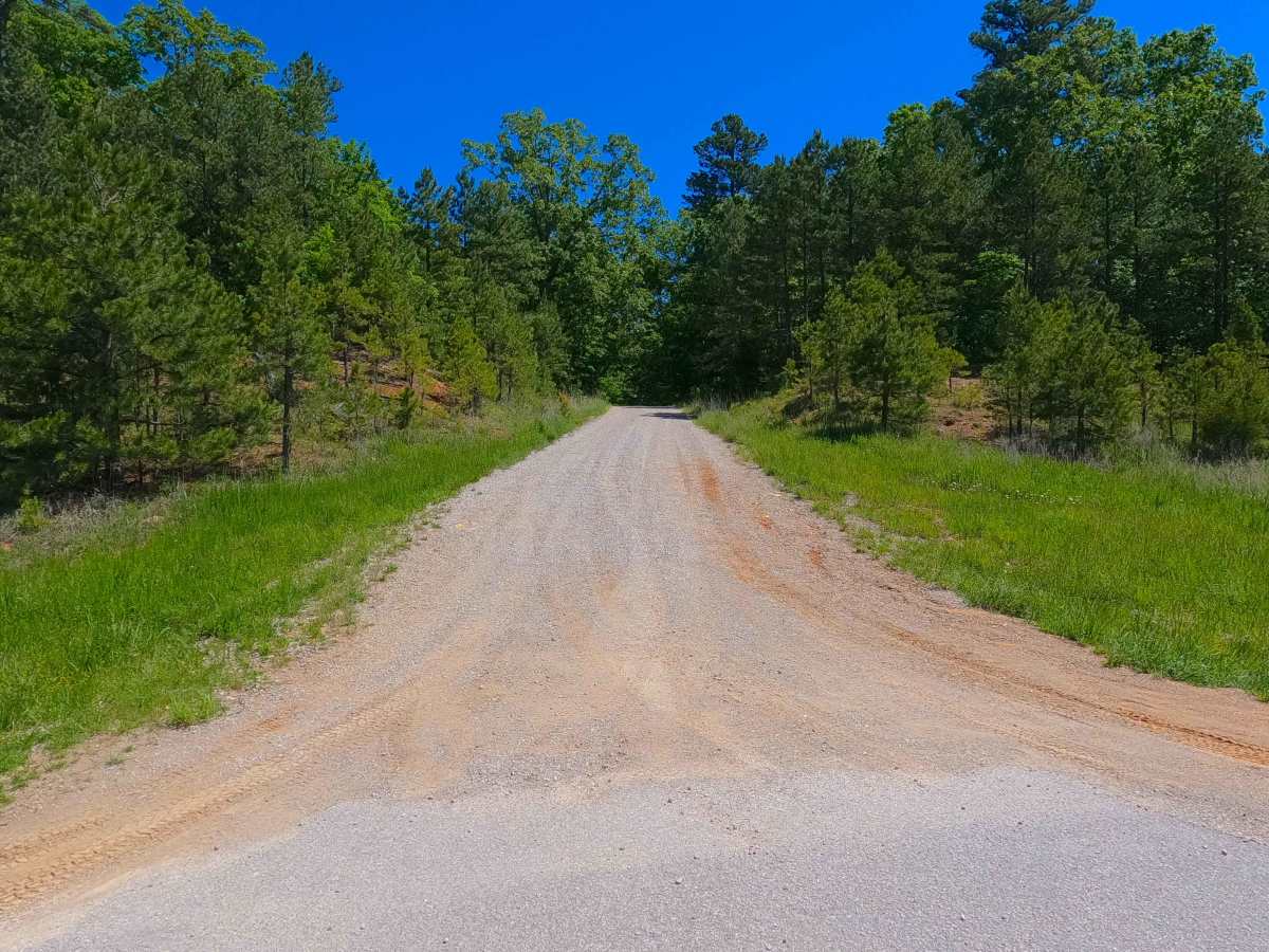
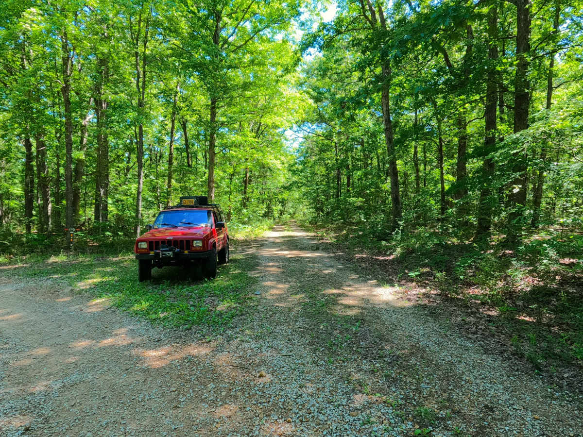
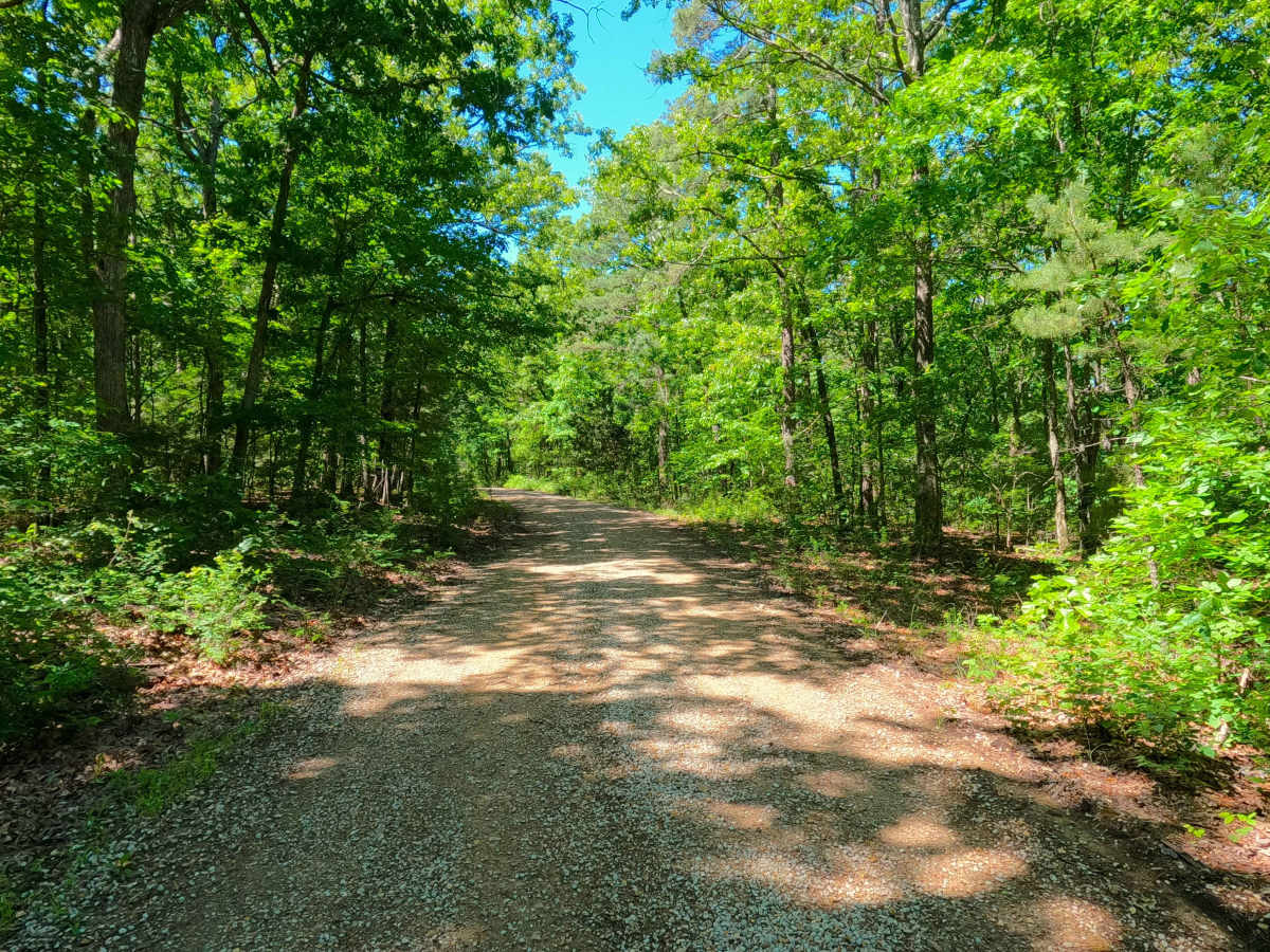
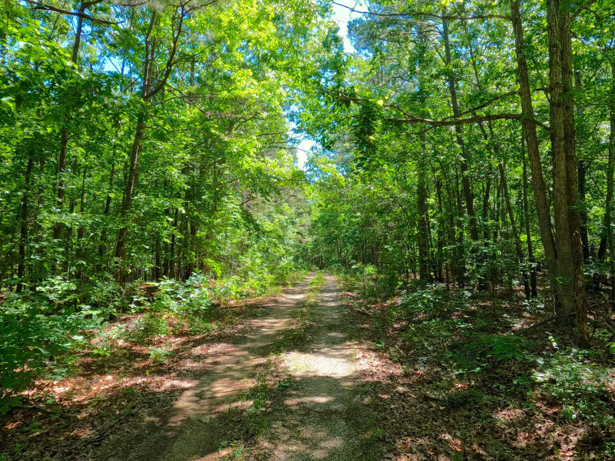
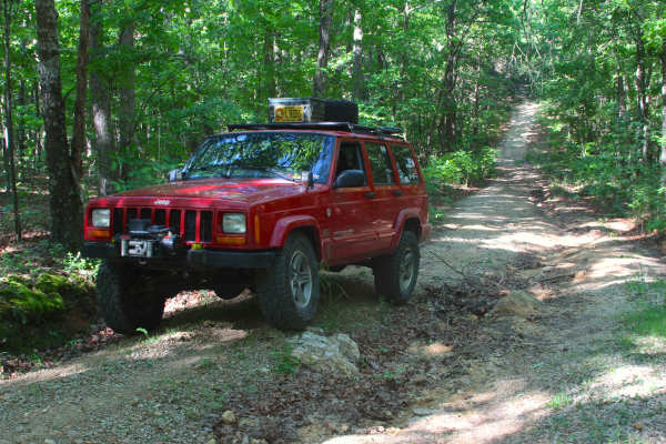
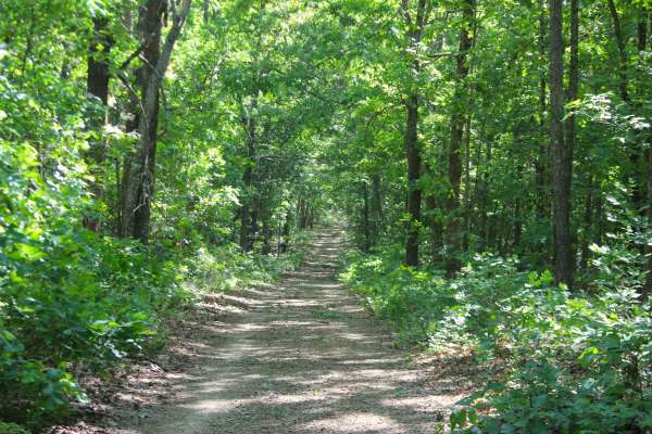
Bear Creek (FS 3715) is a gravel and dirt forest service road within the Poplar Bluff Unit of Mark Twain National Forest. Starting from the westbound lanes of US-60, Bear Creek starts as a maintained road climbing up the hill along the highway right-of-way, transitioning to a more mild grade leading up to the fork in the road with the FS 3521. Here, the FS 3715 continues going to the right as a slightly more rugged semi-maintained road, tracking slowly downhill into the first low point along the ridge, to climb similarly back uphill to the next spine in the ridge, before dropping downhill again to an opening, being the safe point to turn around for full-size vehicles. From this opening, the third portion of the road begins, being a narrow, more natural, thin dirt path, with erosion washes an exposed tree roots on the hill, followed by loose cobbles, natural rock poking out of the surface, and small water collection spots amongst the tight trees, coming to the point where the trees become too dense to continue following the MVUM-Sanctioned path northeast, at roughly 36.85116, -90.57106, though the path does make a hard turn southeast towards and concluding at Bear Creek, but this must be explored on foot, or users must turn around and head back out the way they entered.
Difficulty
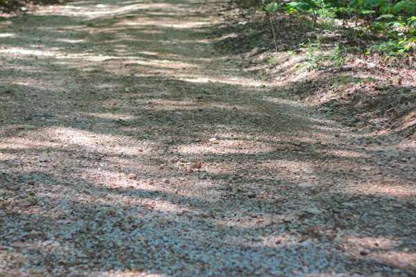
Bear Creek is given a 2/10 base rating for the third natural section featuring an erosion-washed hill, natural rock poking out at the surface, coarse natural gravel, small 6-inch deep water collection holes, loose scattered 6-10 inch cobbles, and potential surface mud. Difficulty can increase in times of wet conditions, rainy seasons, and through a lack of maintenance or heavy use. Unsung difficulties, on the natural portion of the trail, have tight trees and thick foliage; this portion is not recommended for full-size vehicles and is still tight for high-clearance vehicles. The first two portions of this road would receive a 1/10 rating for only having the basic gravel road complications of potholes, washboards, and mounding of the gravel.