Trail Overview
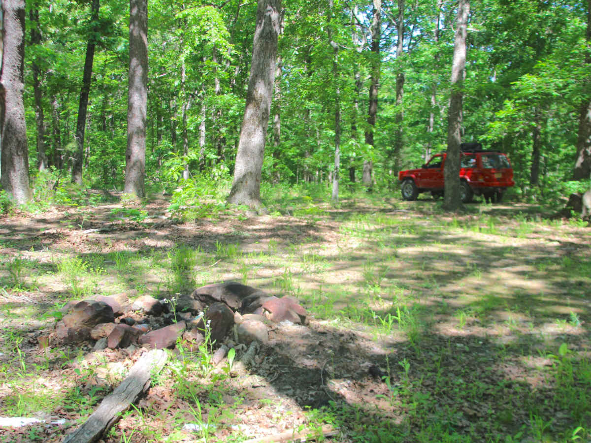
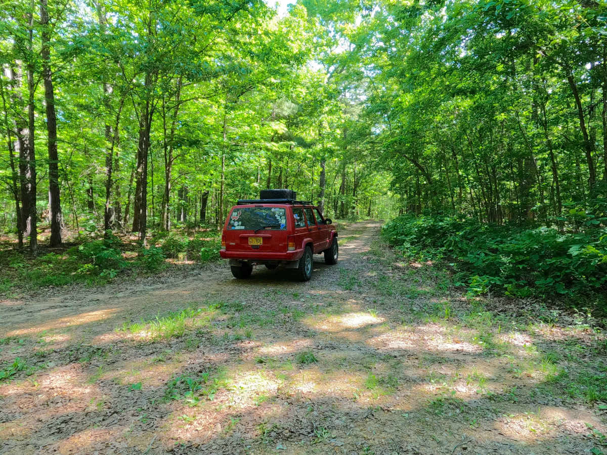
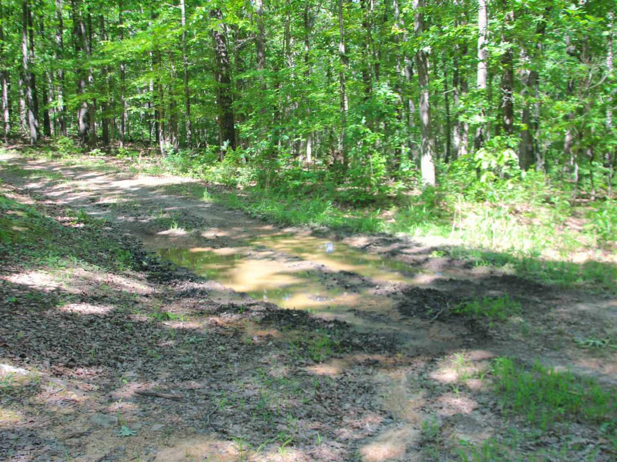
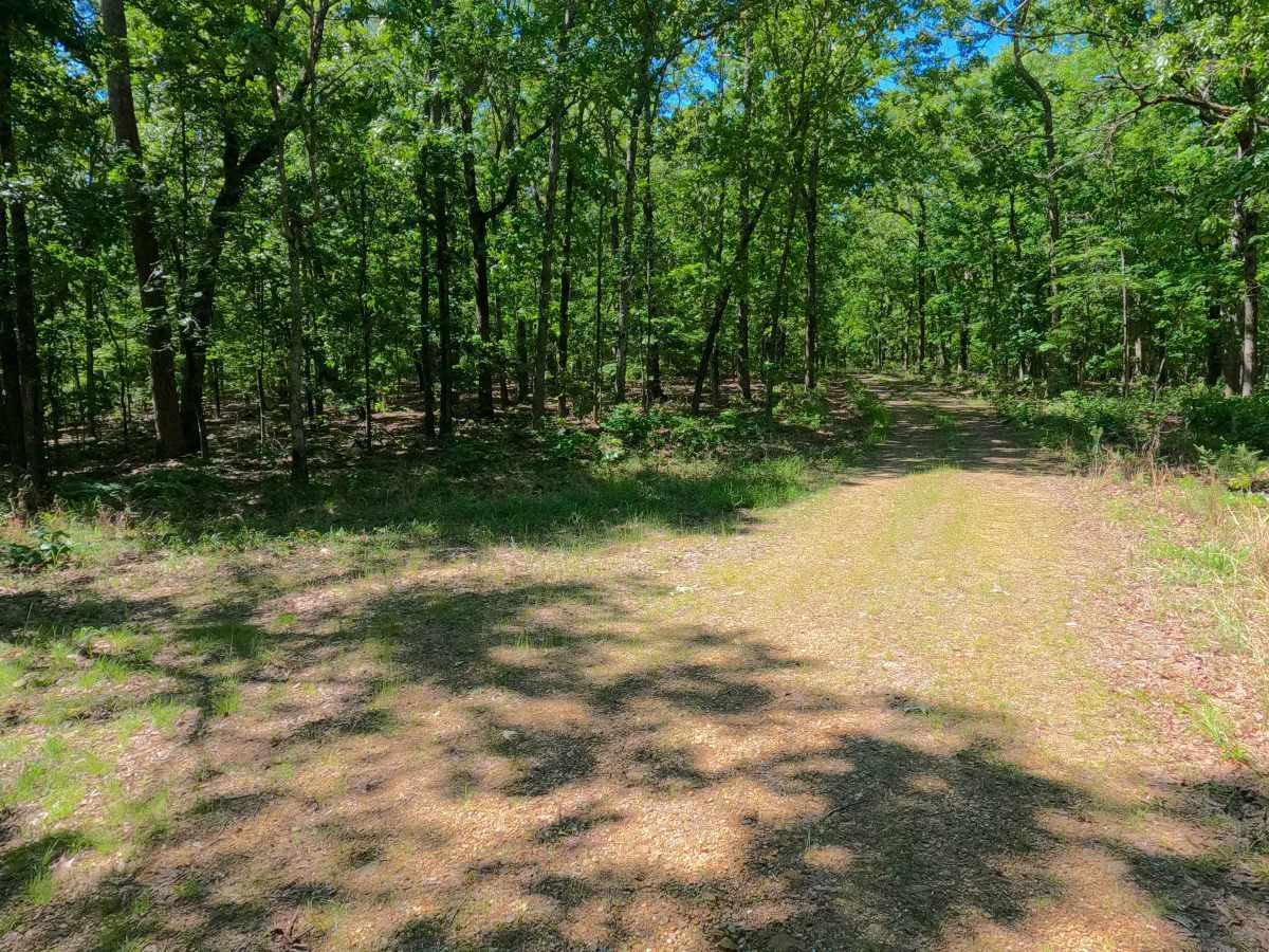
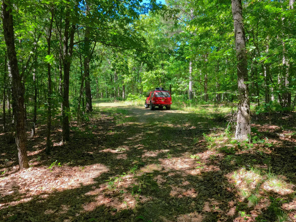
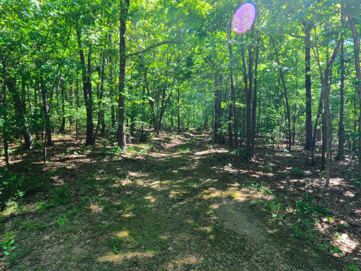
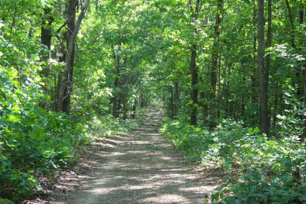
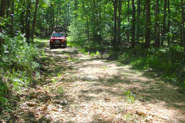
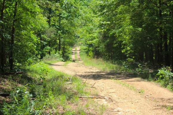
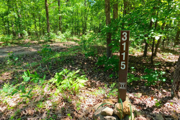
Bluegrass (FS 3528) is a gravel and dirt forest service road within the Poplar Bluff Unit of Mark Twain National Forest. Starting from the intersection with Grassy Hollow FS 3714, from here Bluegrass heads northeast on the ridge top, crossing a few water collection holes, before coming to an opening at the midway point, being a safe turnaround for the larger vehicles. From this midway opening, the second portion of the road begins, being a narrow, more natural, thin dirt path, with erosion washes on the hill, followed by loose cobbles, natural rock poking out of the surface and small mud holes, tracking through the dense foliage to the final stretch of ridge top placed to the south of Blue Hole Hollow. The path fades out around 36.86417, -90.59581, being within the MVUM-sanctioned length of this road, it is suggested that users turn around here; there is just enough room to multi-point turn with medium-sized high clearance vehicles.
Difficulty
Bluegrass is given a 2/10 rating, base rating for having a splash depth water collection hole on the first semi-maintained section, with the second natural section featuring an erosion-washed hill, natural rock poking out at the surface, coarse natural gravel, small 6" deep mud holes, loose scattered 6-10" cobbles, and potential surface mud. Difficulty can increase in times of wet conditions, rainy seasons, and through a lack of maintenance or heavy use. Unsung difficulties, the trees on the second natural half of the trail has tight trees and thick foliage, and is not recommended for full-size vehicles, and is still tight for High Clearance vehicles.