Trail Overview
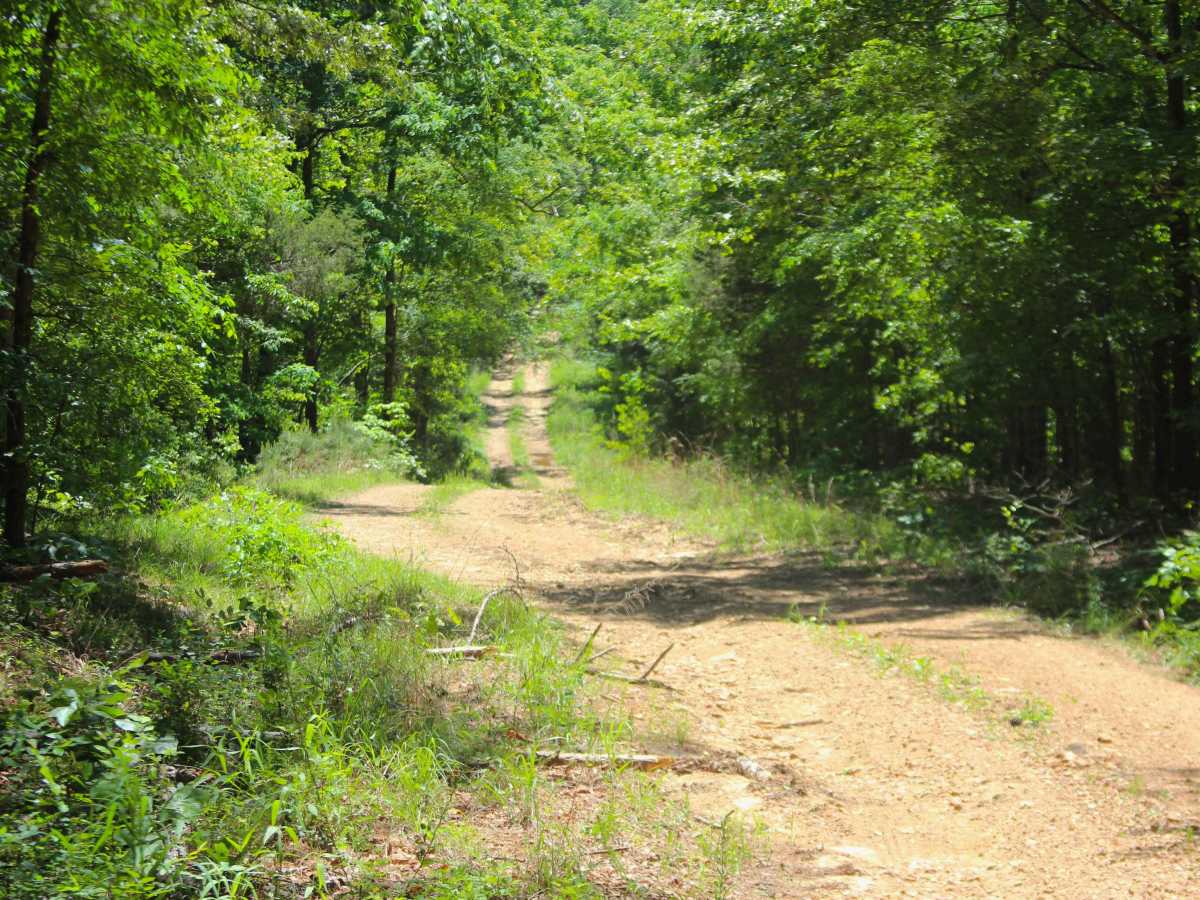
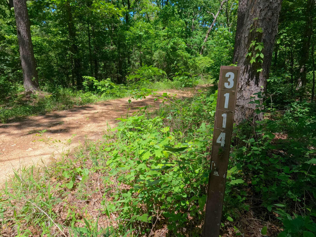
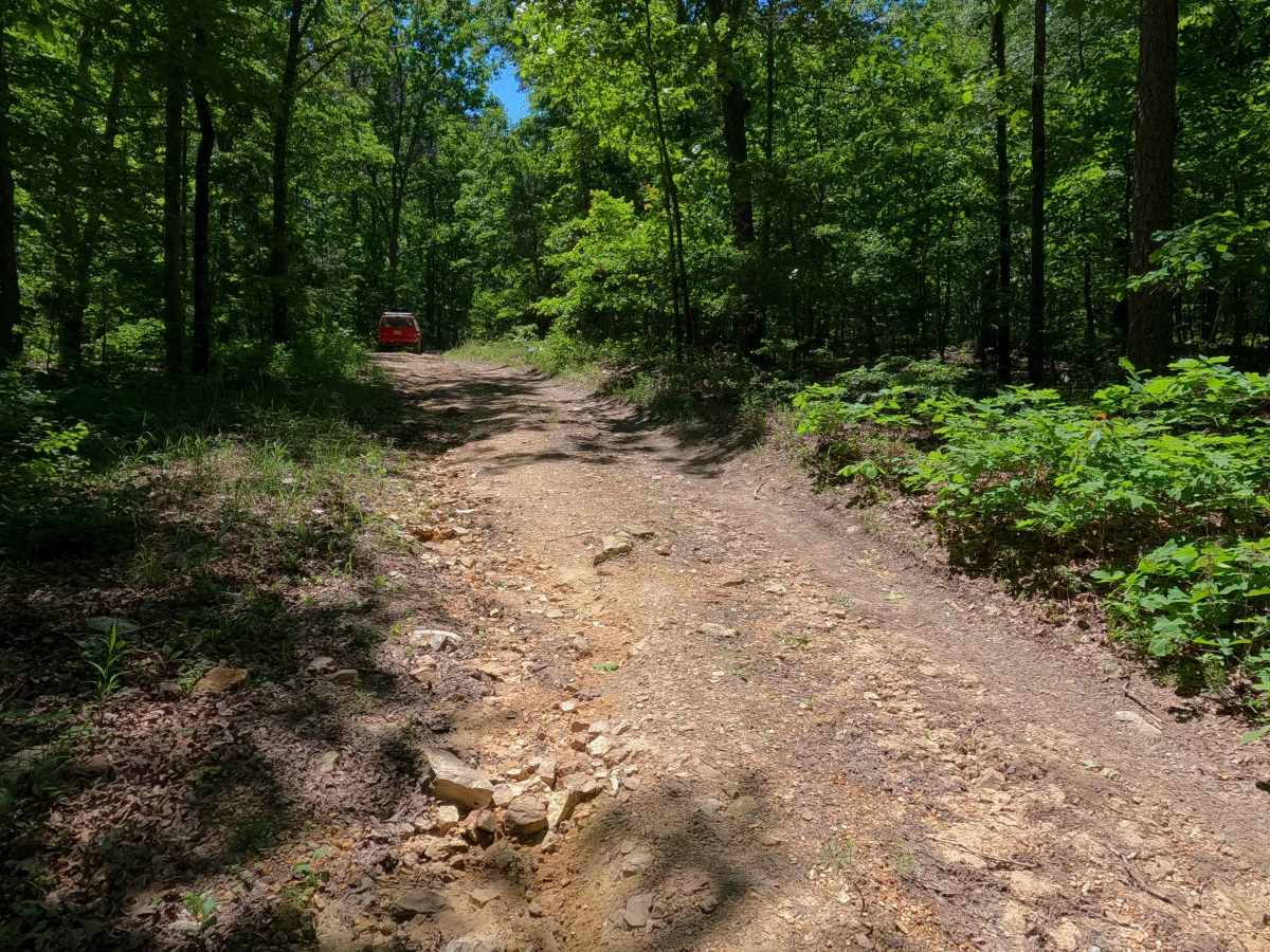
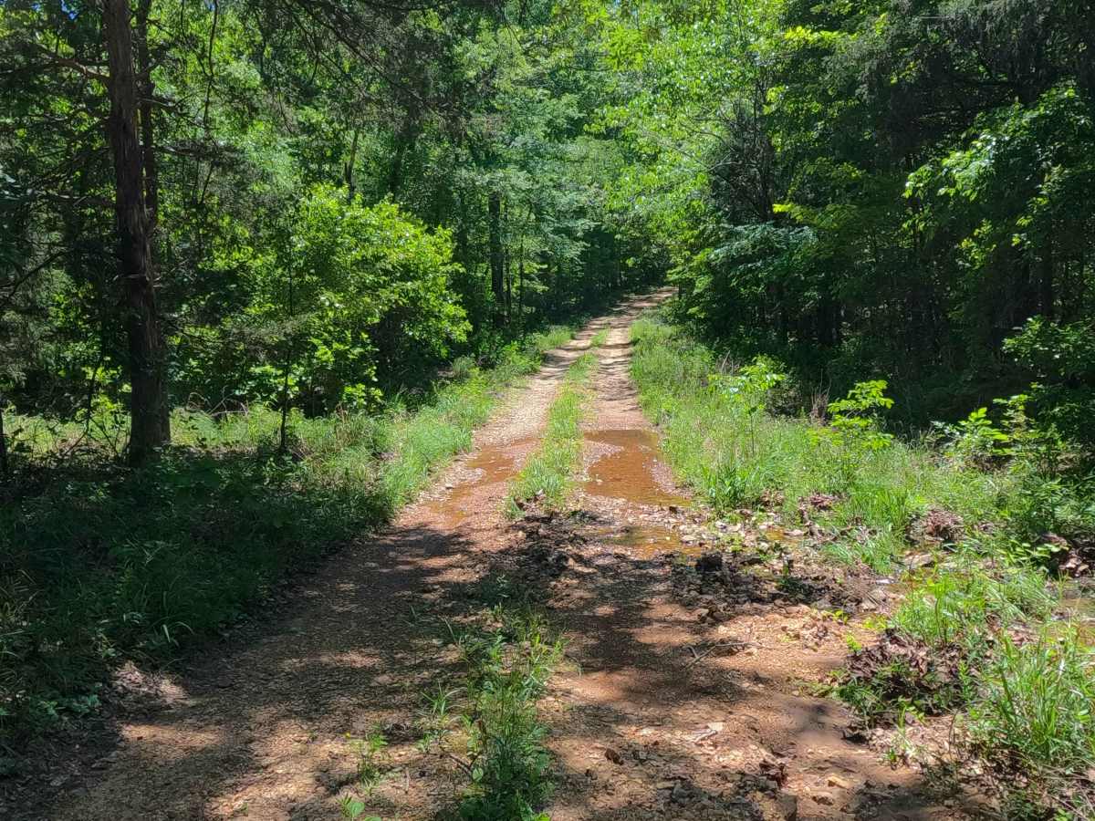
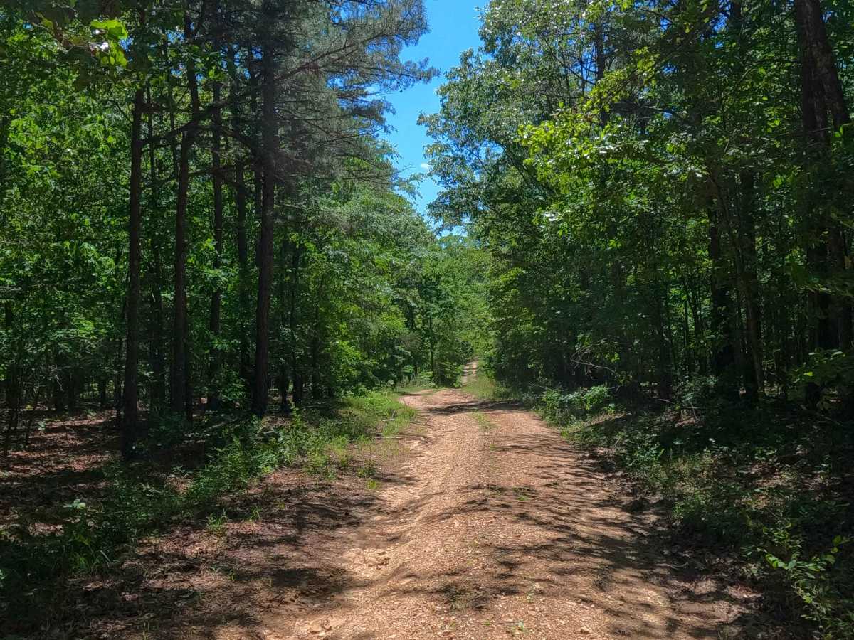
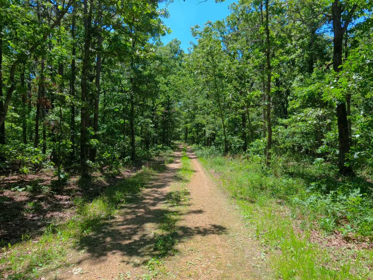
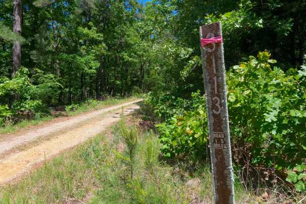
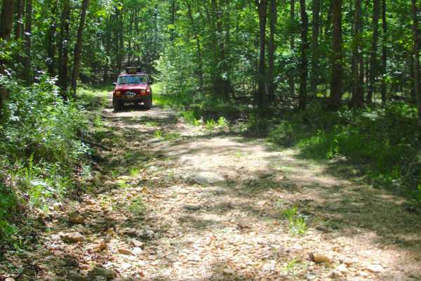
Shiloh School (FS 3114) is a dirt and natural gravel forest service road within the Poplar Bluff Unit of Mark Twain National Forest. Starting from the Butler County Road 412, the Shiloh School heads north, immediately down the first eroded hill with exposed natural rock and loose cobbles, into the valley bottoms to meet a splash level water runoff crossing with a loose cobble based bed, after which the road climbs back up another eroded hill to meet the ridge top portion of the track, which slowly turns over its track to point eastward, encountering the terrain of small surface mud and water collection spots, and several hunting camps and openings allong the side of the road, including the final turnaround opening at the end of the MVUM-Sanctioned road, from here users must turnaround and head back out the way they entered.
Difficulty
Shiloh School is given a 2/10 for the valley section featuring a mild water-runoff crossing full of cobble-sized rocks as its bed, with eroded hills on either side of the crossing featuring natural rock poking out of the surface and 4-10 inch loose cobbles, and the ridge portion of the road having splash-level water-collection holes and surface mud along its track. It is also safe to expect all the gravel road complications, such as potholes, washboarding, and mounding of the gravel. Difficulty can increase in times of wet conditions, rainy seasons, and through a lack of maintenance or heavy use.
History
The actual Shiloh School of the Murdock Township was located to the east of the FS 3114, at the intersection of Butler County Roads 410 and 412. The school's beginning dates back to the mid to late 1800's, with the location being shown on historic topo maps up into the 1960's, before being dropped. In the 1980 Williamsville, MO topo, the road that is now FS 3114 is shown for the first time, following the same track that is still used today.