Trail Overview
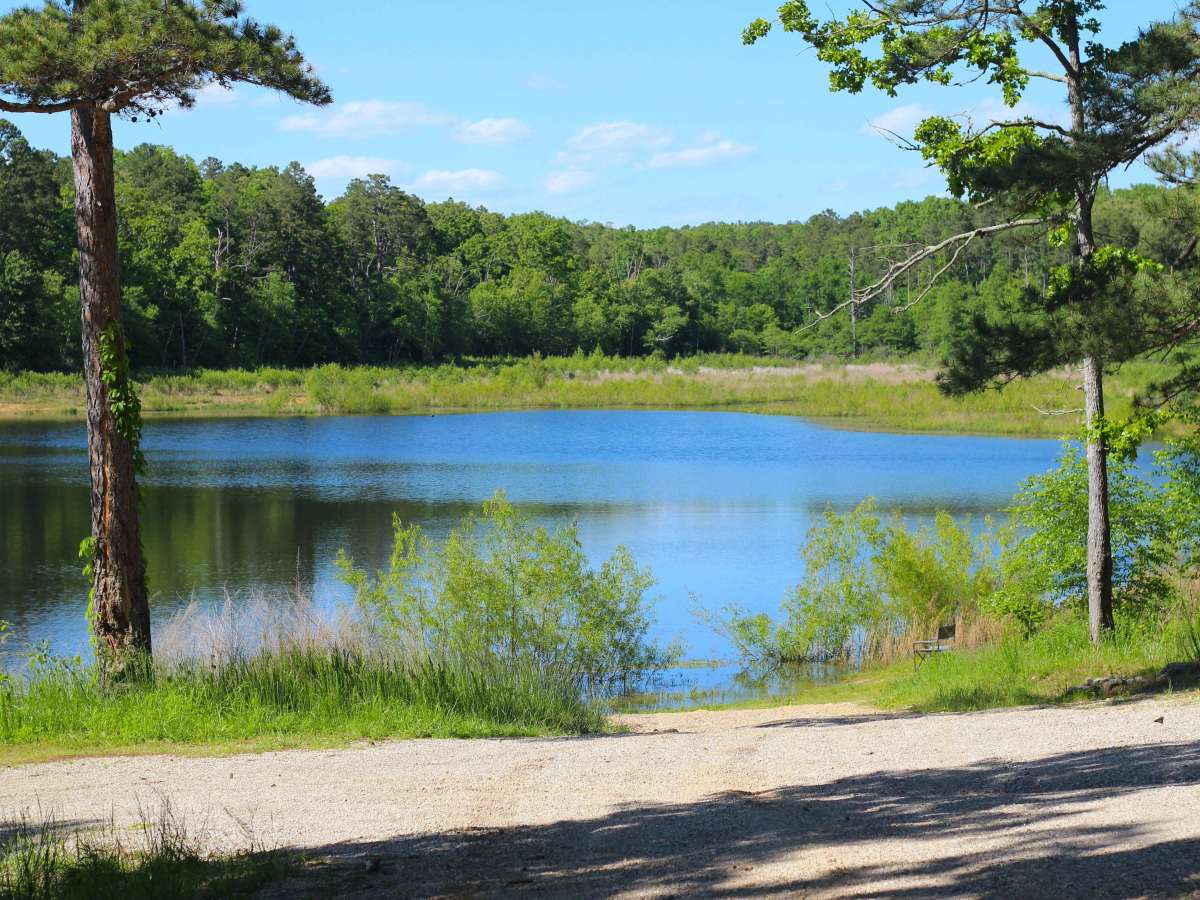
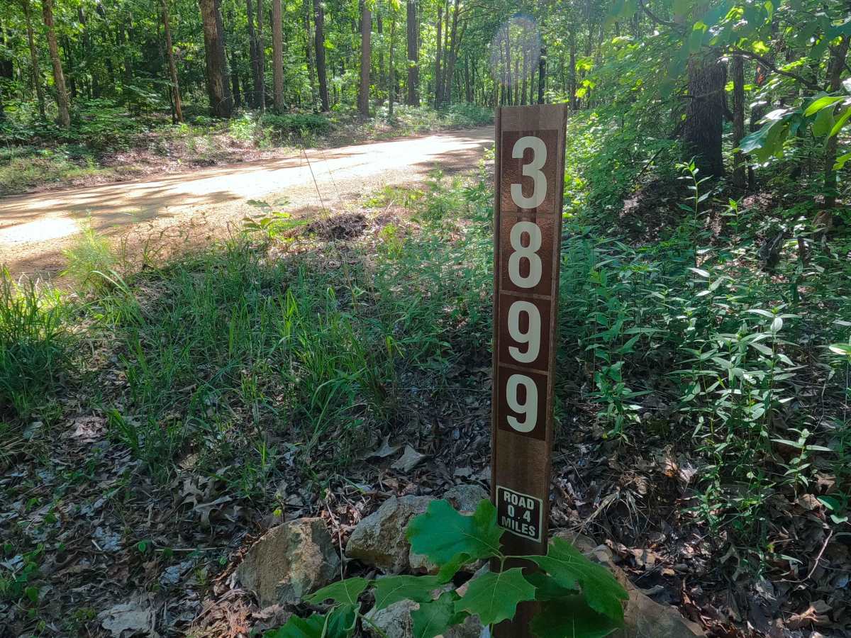
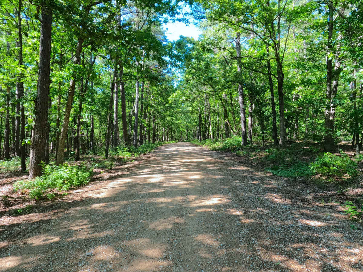
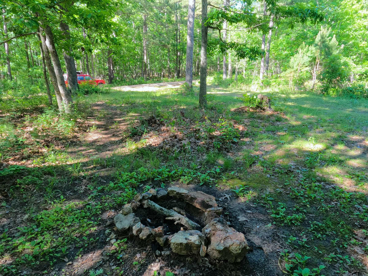
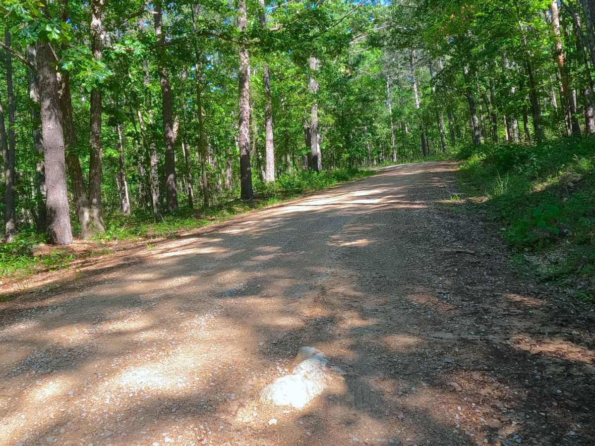
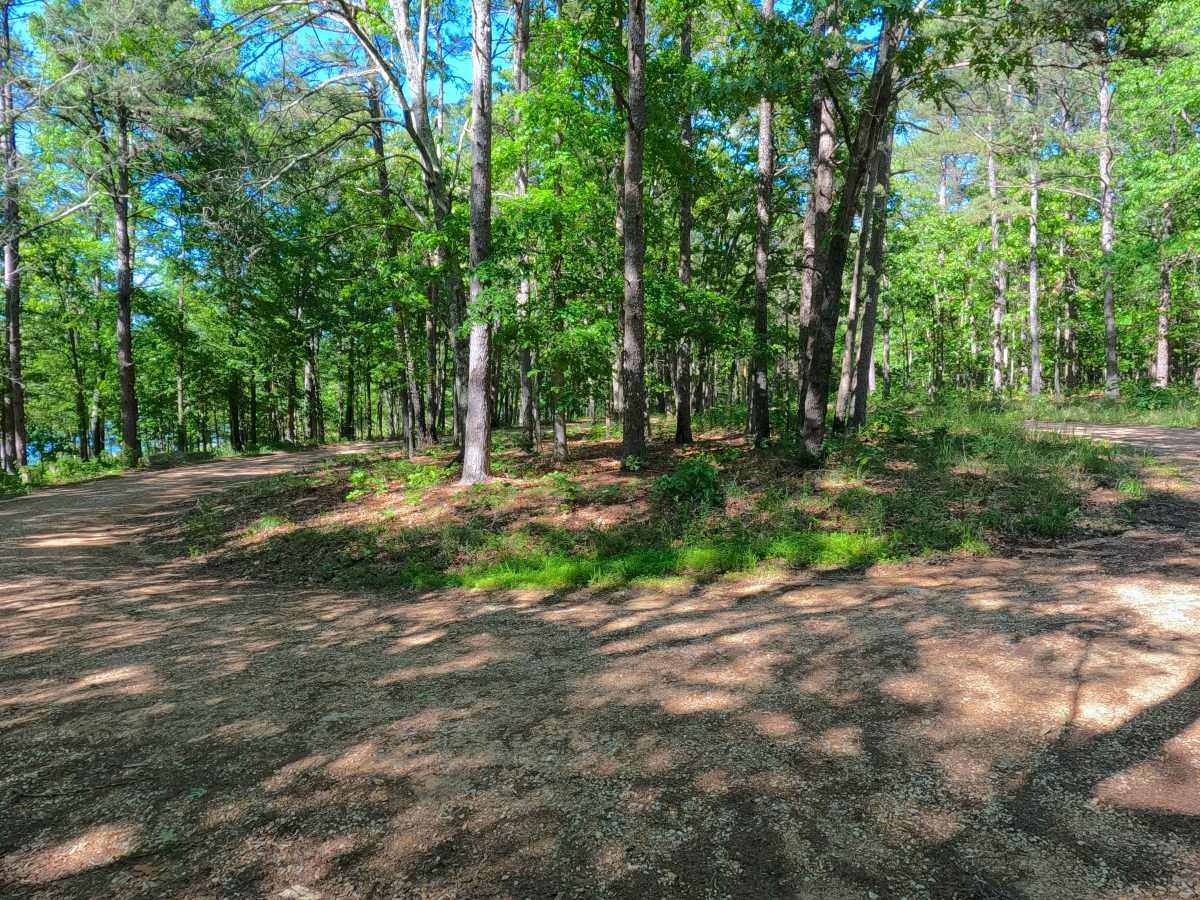
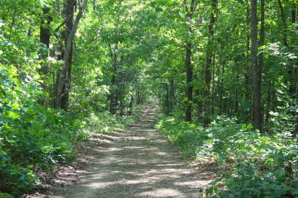
Beaver Lake - FS 3899 is a gravel and dirt forest service road within the Poplar Bluff Unit of Mark Twain National Forest, leading to the recreation area of Beaver Lake. The road begins going west off the Butler County 436, heading slightly downhill over a coarse road, curving to the upper loop, passing a gated spur road, and then meets the road's MVUM end at the slightly eroded lower loop. The lower loop gives direct access to the lake's edge, and also is where the boat ramp is located. The upper loop gives a great location to stage a group of rigs together for a lunch or meeting place for a day out in the woods. The lake road also accommodates and allows primitive camping, but lacks any facilities. The legal end of the road is at the lower loop around the Beaver Lake Sign; users must turn around and head back out the way they entered.
Difficulty
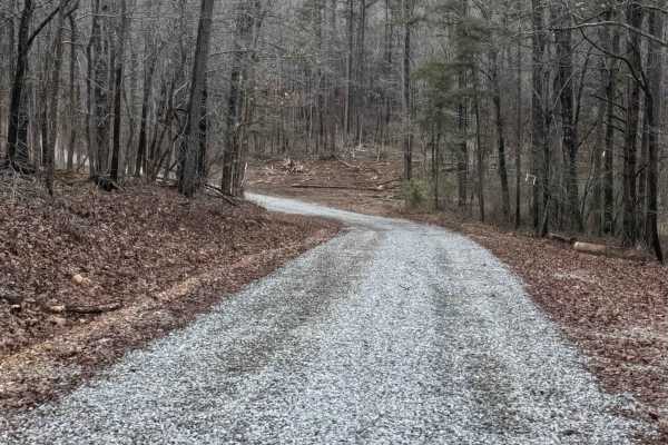
Beaver Lake is given a base rating of 1/10, having mild gravel washes and natural rock poking out at the surface on the eastern portion of the track, with active erosion and rutting, and potential surface mud along the lower Beaver Lake Sign loop. It is also safe to expect all the gravel road complications, such as potholes, washboarding, and mounding of the gravel. Difficulty can increase in times of wet conditions, rainy seasons, and through a lack of maintenance or heavy use.


 Offroad