Log Lick Hollow

Total Miles1.3
Technical Rating
1Easy
Best TimeSpring, Fall, Summer, Winter
Trail TypeFull-Width Road
Accessible By
Open Trail Map

Trail Overview

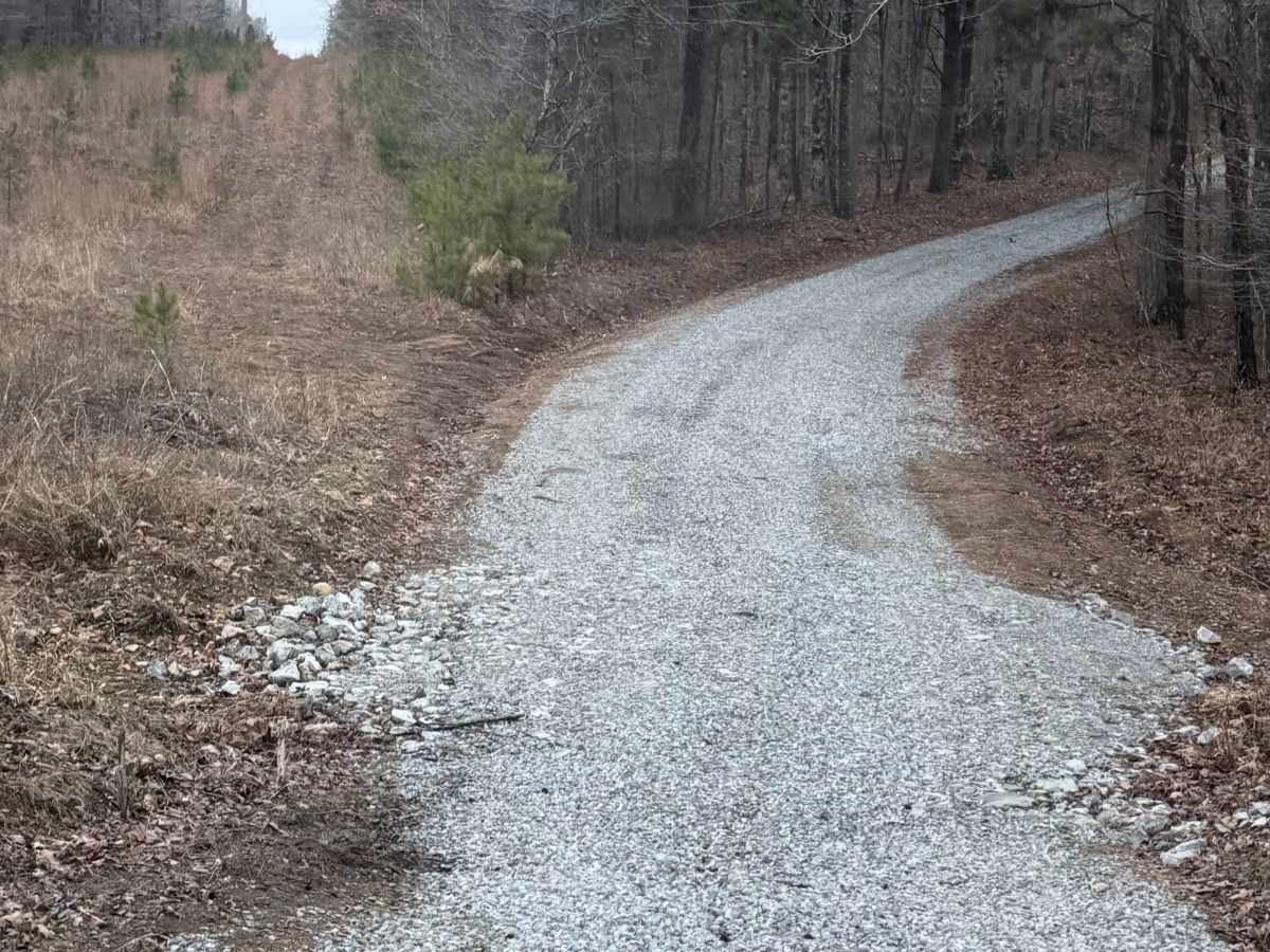
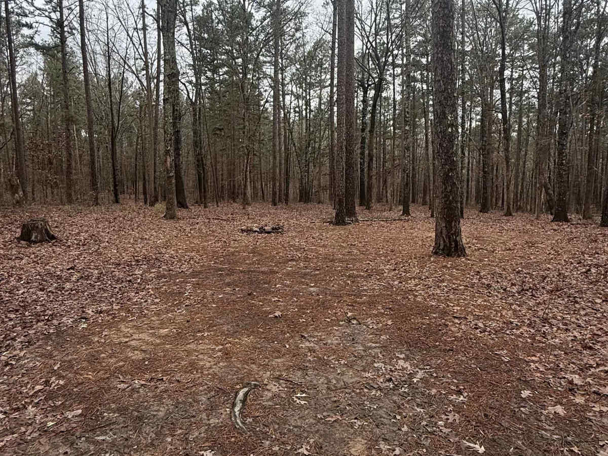
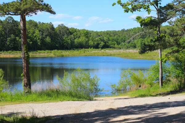
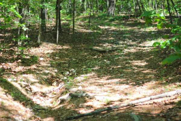
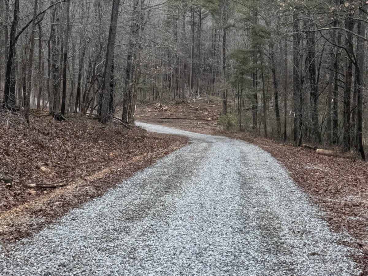
A scenic, single-vehicle gravel Forest Service route that winds through a dense corridor of pines that is currently marked for active forestry management. This trail offers several prime primitive camping spots for those looking to stay overnight, along with a seasonal creek crossing that serves as a technical highlight after heavy rains. The route concludes at a spacious turnaround clearing perfect for a group break; however, drivers should avoid the narrow wooded spur at the very end to skip a difficult reverse-out maneuver.

Photos of Log Lick Hollow

Difficulty

This trail features a creek crossing that may have water in it after heavy rains, but otherwise has no technical obstacles.

Technical Rating

1

Status Reports

Add Status Report
Chris Menz
May 07, 2026
1999 Jeep Cherokee
Open
Normal
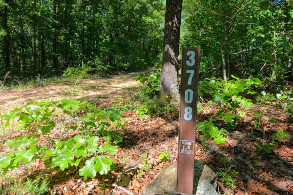
Log Lick Hollow (FS 3591) has had fresh gravel dropped on it for the current logging and timber operation going on, currently the last 500 feet of the road is blocked off due to this. There was small water depth at the creek crossing. When looking into the history of the Survey Marker at the midway point, this was the former Beaver Fire Tower location, being 110 foot tall steel structure, build around 1962, removed some time after 1980, before 1983, based on old topos of the area.

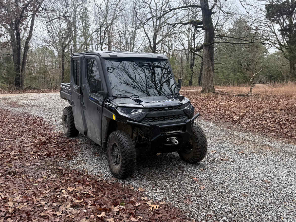
Log Lick Hollow Trail can be accessed by the following ride types:

  • 50 Inch
  • 60 Inch
  • High Clearance
  • Full Width

Log Lick Hollow Map

The onX Offroad Difference

onX Offroad combines trail photos, descriptions, difficulty ratings, width restrictions, seasonality, and more in a user-friendly interface. Available on all devices, with offline access and full compatibility with CarPlay and Android Auto. Discover what you're missing today!

Open Trail Map