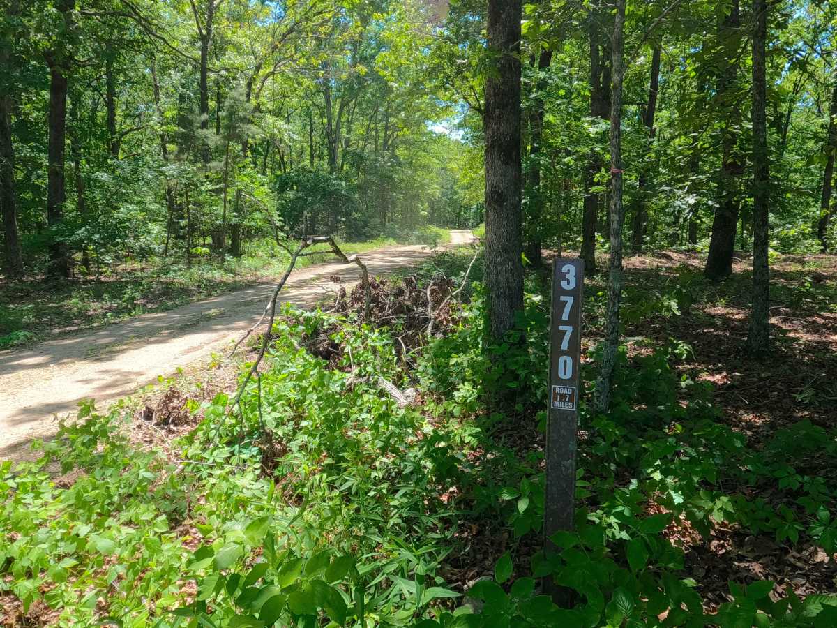
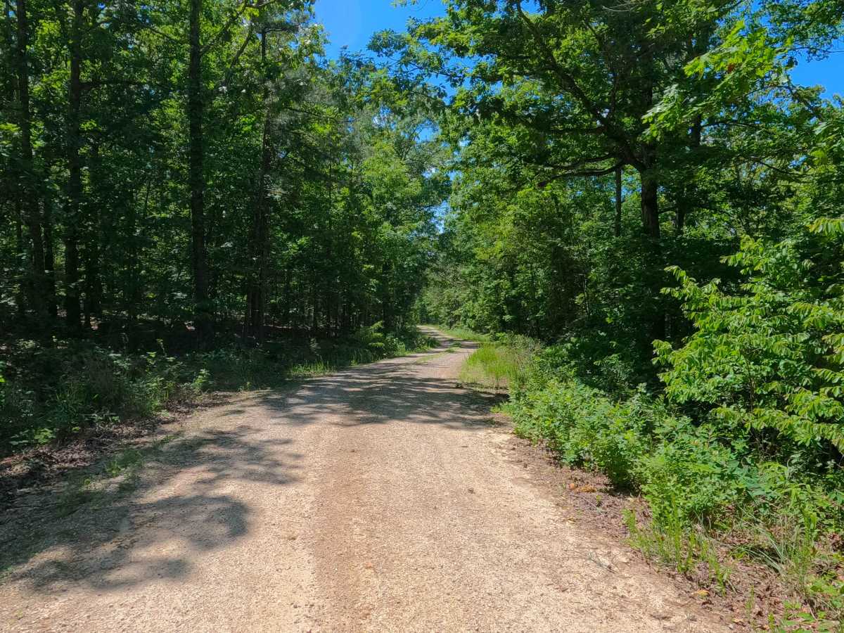
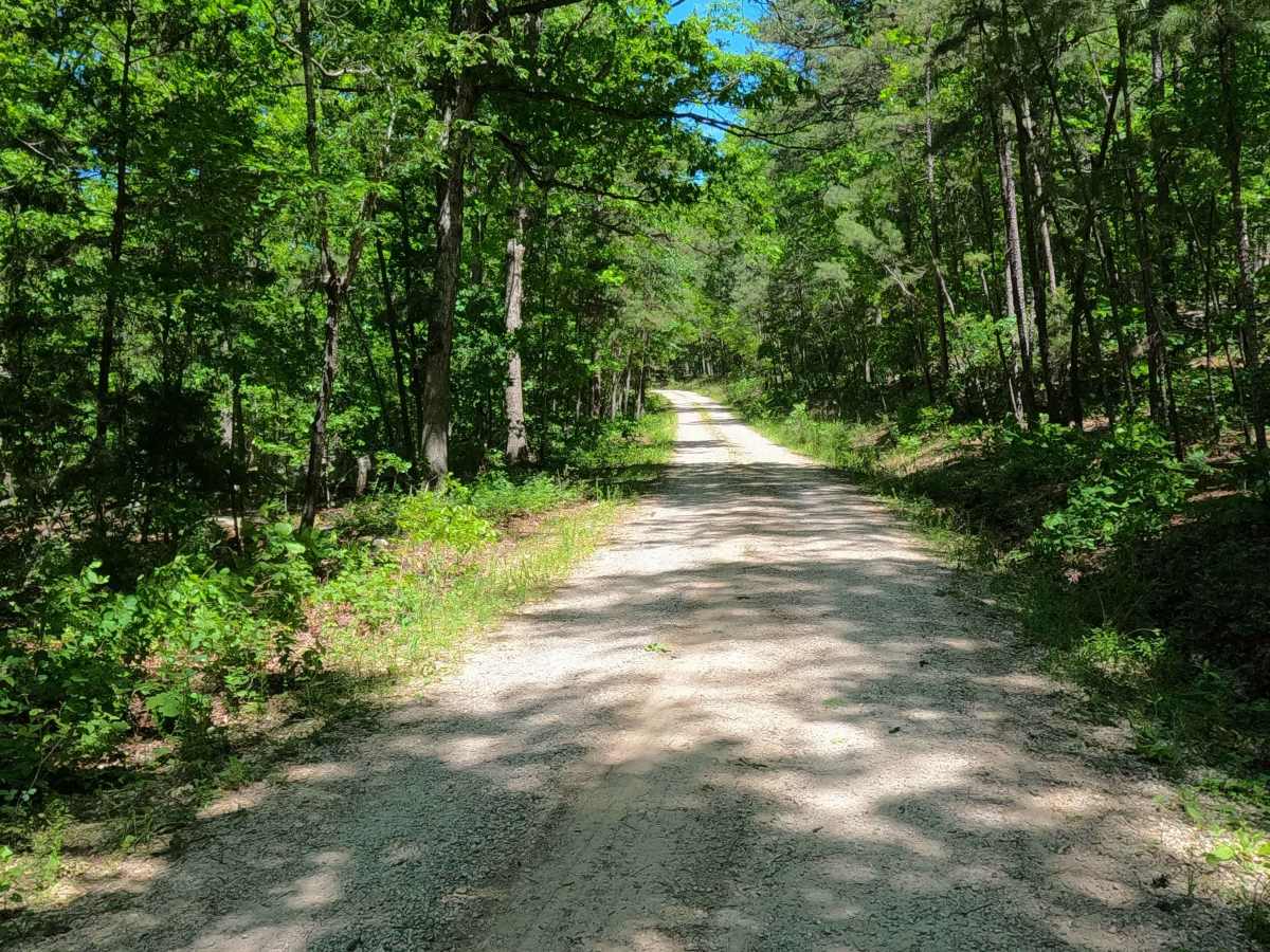
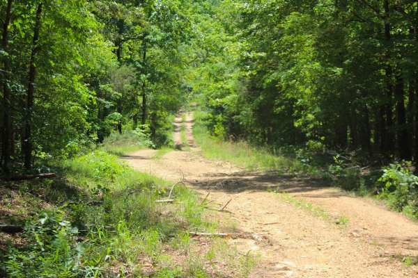
Trail Overview
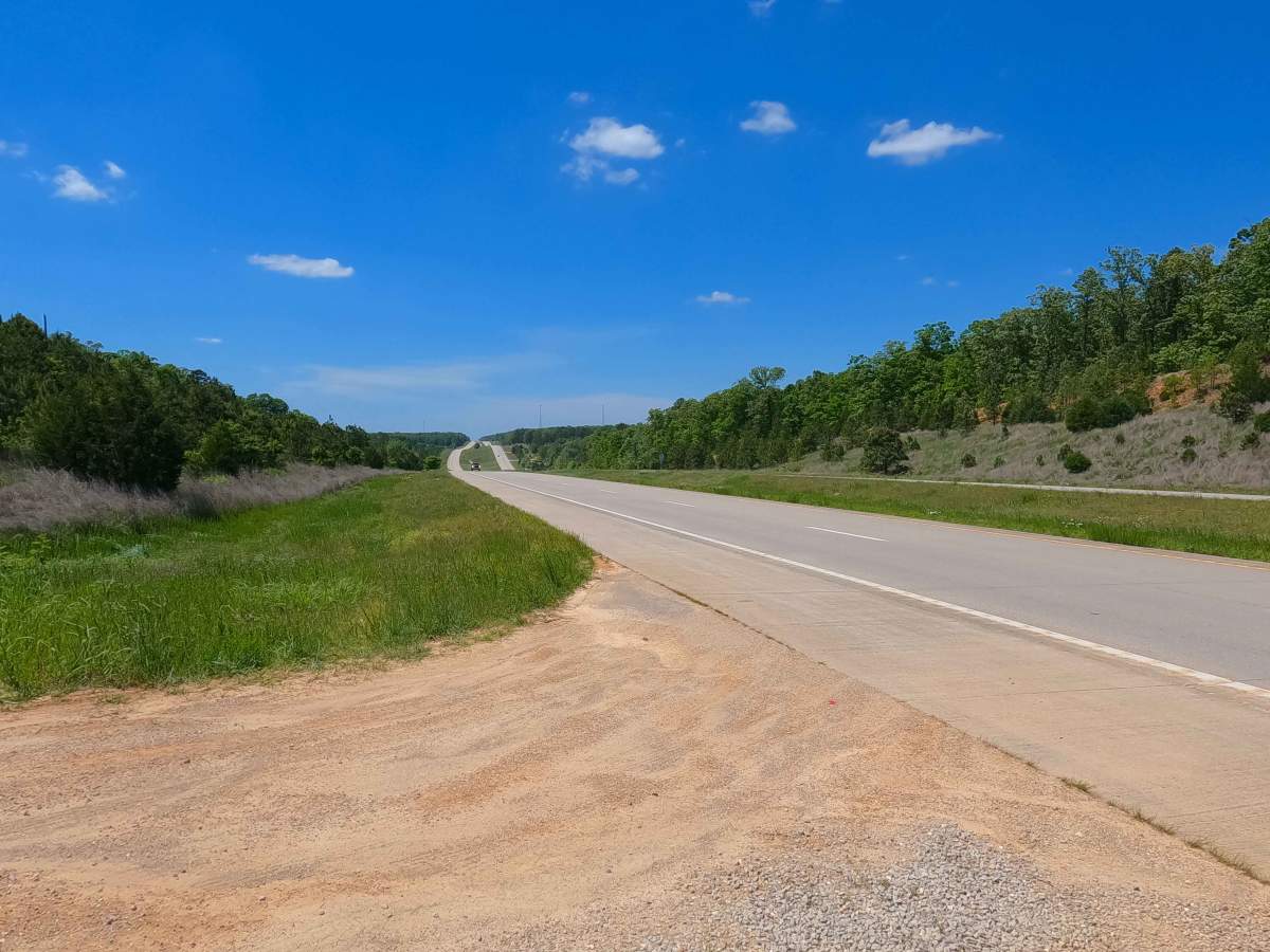
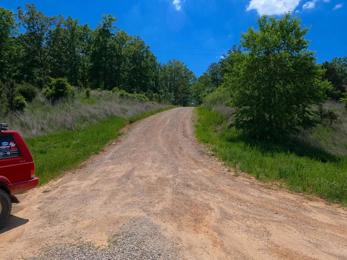
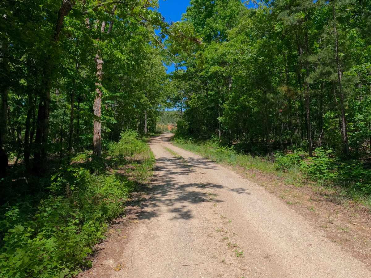
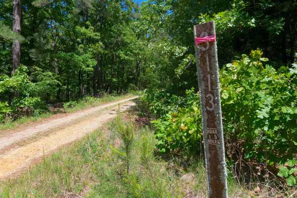
Bee Hole Ridge (FS 3770) is a semi-maintained gravel and dirt forest service road within the Poplar Bluff Unit of Mark Twain National Forest. Starting from the eastbound lanes of US-60, the road heads southwest, climbing a right-of-way hillside along the highway, to level out briefly, and then drop rapidly downhill towards the Beehole Branch Creek. Along the Beehole Branch, there is an opening with room to park if wanting to enjoy a swim or time near the water. The road crosses the creek near this, being a splash crossing in a normal state, with loose creek gravel and small cobbles amongst a concrete block low-water bridge. After this, the road climbs back uphill to meet the ridge-top section of the road on the west side of the Beehole Branch, passing a few openings along the edge of the road before ending at the final opening and turnaround, marking the end of the MVUM-Sanctioned road. From here, users must turn around and head back the way they came.
Difficulty
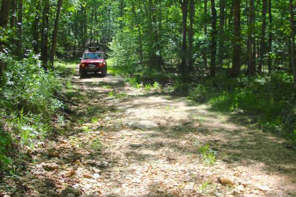
Bee Hole Ridge is given a 2/10 for the valley section featuring a mild creek crossing full of loose creek gravel and small cobbles as its bed, with concrete blocks as the foundation below. The hill on either side of this crossing features light erosion, small loose cobbles, and natural rock poking out at the surface. It is also safe to expect all the gravel road complications, such as potholes, washboarding, and mounding of the gravel. Difficulty can increase in times of wet conditions, rainy seasons, and through a lack of maintenance or heavy use.