Trail Overview
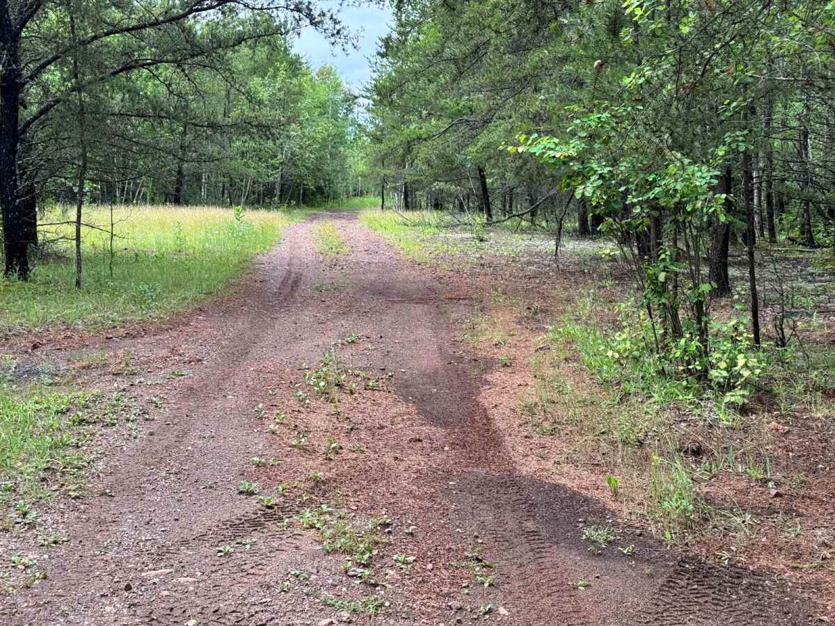
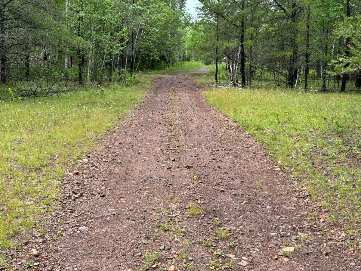
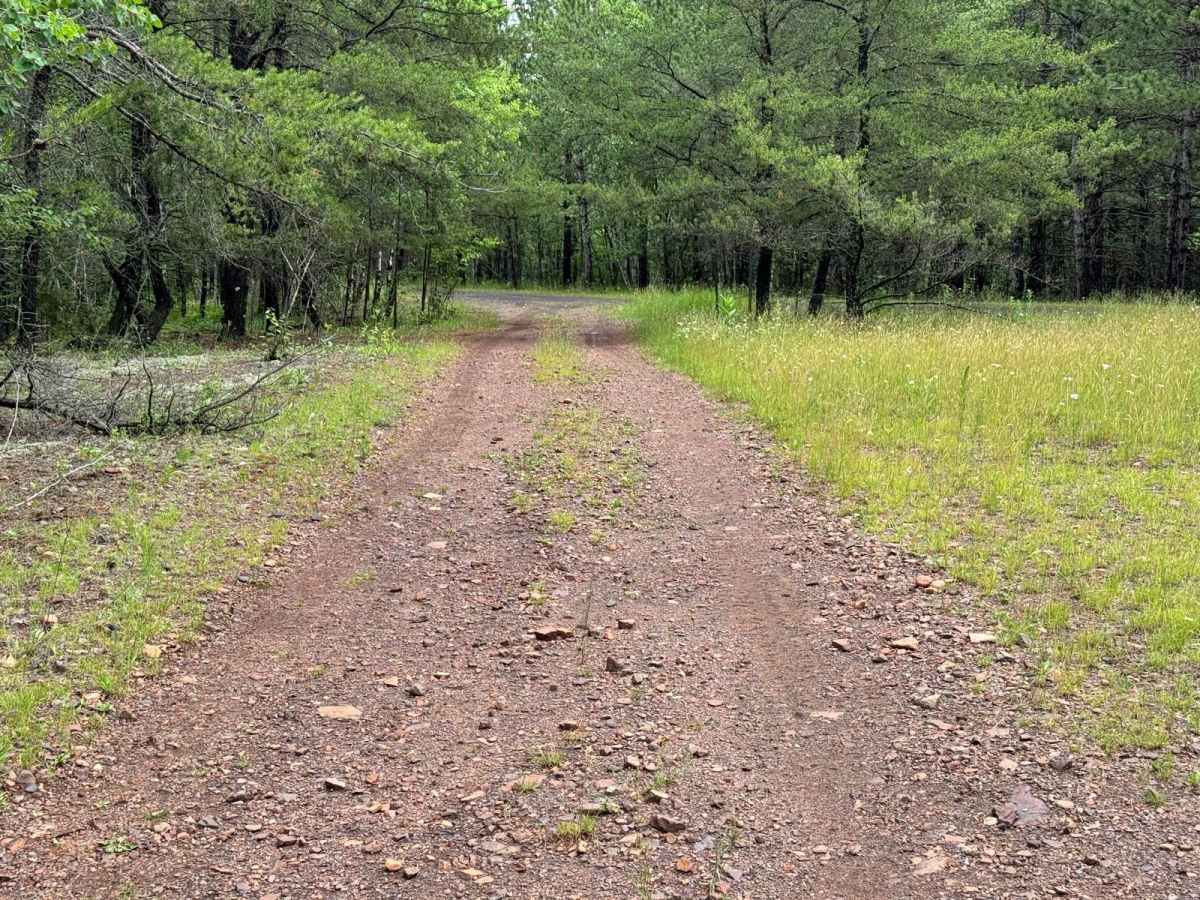
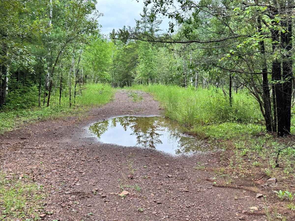
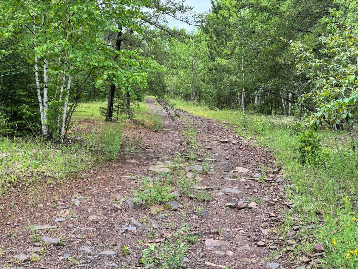
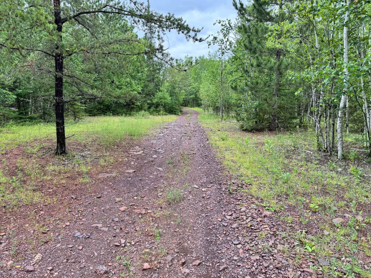
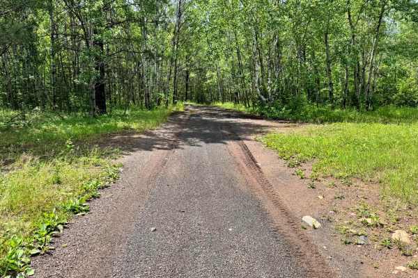
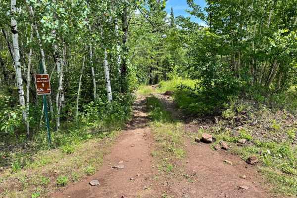
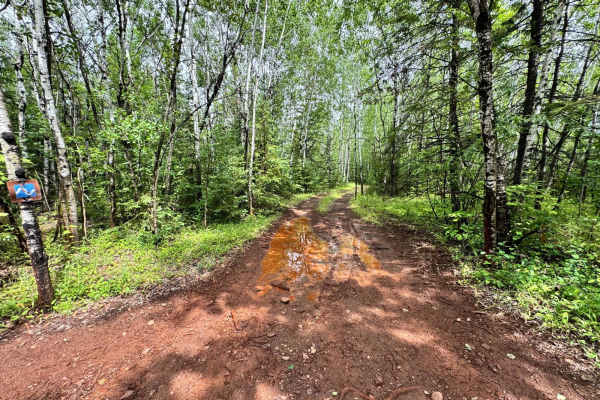
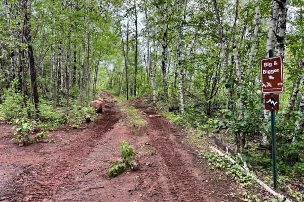
This trail runs parallel to Trail 47 and serves as a simple, easygoing route for riders of all experience levels. The surface is primarily dirt with occasional small rocks, but it remains smooth and non-technical throughout its length. There are no major obstacles, making it ideal for stock vehicles, beginners, or anyone looking for a relaxed ride through the area. The trail can be used as a connector, guiding you toward the entrance to Guard Rail Gulley, and a junction that links directly to 47. It's a great warm-up trail or transition route between key parts of the trail network.
Difficulty
This is an easy, low-effort trail that's accessible to just about anyone. With a mostly dirt surface and no significant obstacles, it's ideal for beginners, stock vehicles, or those looking for a casual cruise through the park. The trail is wide and predictable, requiring minimal driver input beyond basic navigation. If you're looking to get your bearings or just transition between more technical sections, this trail is a smooth and simple way to do it.
History
The Iron Range OHV Recreation Area was built on reclaimed mining land, once part of the rich Mesabi Iron Range that fueled U.S. steel production for over a century. Today, this 1,200+ acre site blends industrial history with outdoor adventure, offering a rare chance to ride through the remnants of Minnesota's mining legacy.

 Offroad