Trail Overview
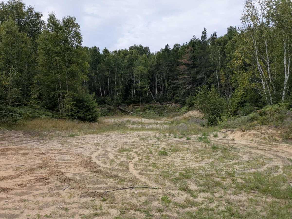
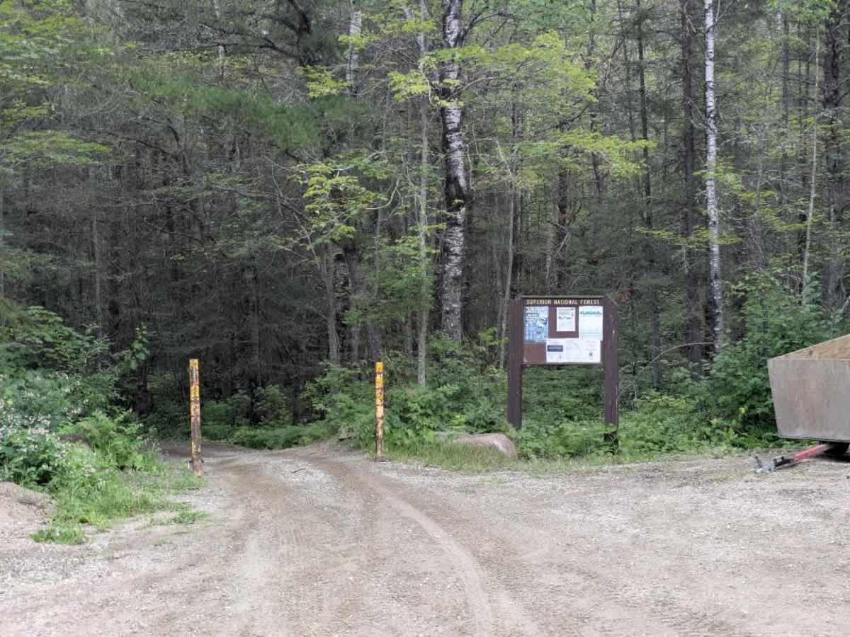
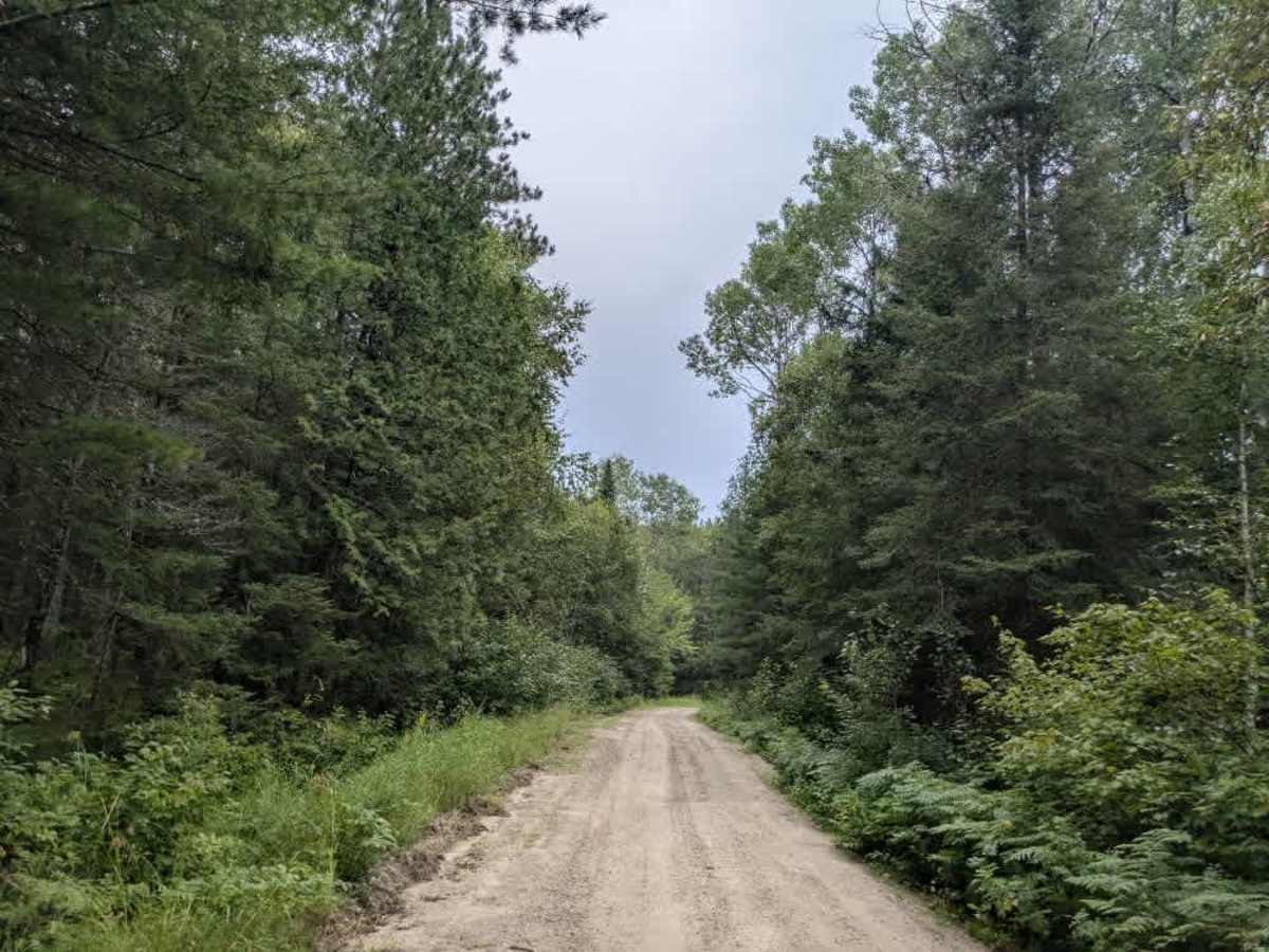
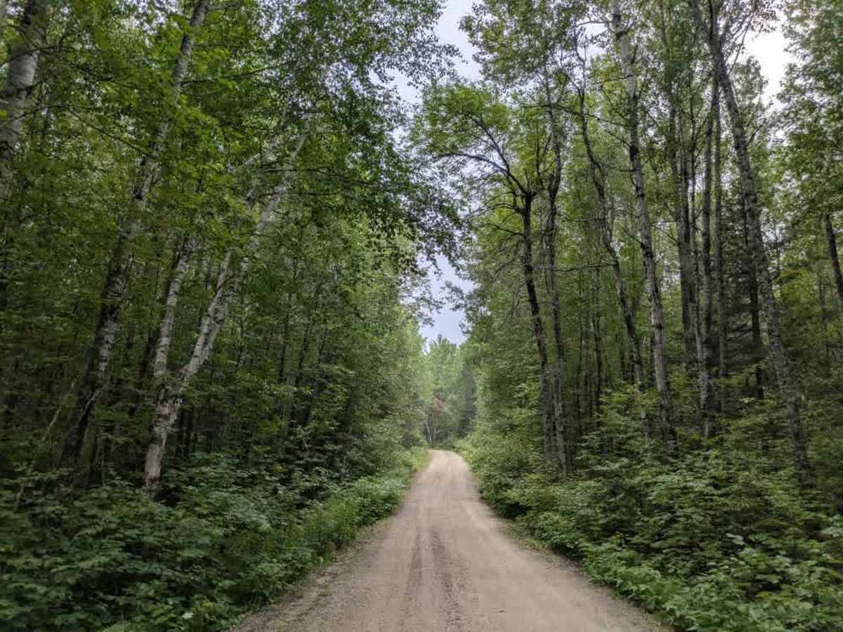
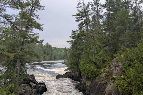
This trail begins at an intersection with another forest trail and gradually climbs into a wooded area, featuring a mix of ascents and descents. Several side trails branch off from the main route, including one ATV trail that leads to a large open clearing and a gravel pit commonly used by riders. The main trail continues toward a well-used portage route that is especially popular during the summer months. Local residents often drive to the parking area and then use ATVs to transport their boats down to the water, accessing remote cabins located near the Canadian border. As a result, traffic on this trail can be fairly constant, particularly in peak season. There are no formal campsites along the trail, and dispersed camping is only a possibility if the parking lot is unoccupied. The trail lacks basic amenities such as trash disposal and potable water, and cell service may be unreliable throughout the area.
Difficulty
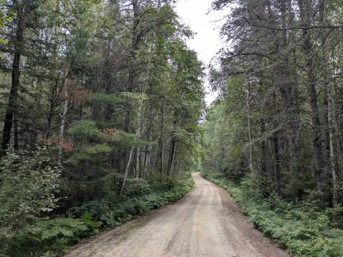
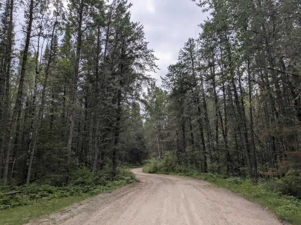
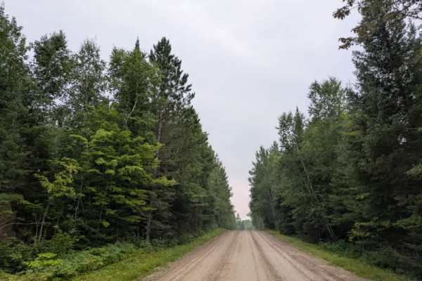
This forest trail is well-maintained and used by adventurers. The route is wide and clear of debris, with established tread and minimal overgrowth, making it ideal for a smooth and scenic drive.
History
The Boundary Waters Canoe Area Wilderness (BWCAW) in northern Minnesota is one of the most pristine wilderness areas in the United States, covering over 1 million acres of interconnected lakes, rivers, and forests. Established as protected federal land in 1978, it preserves the cultural history of Ojibwe people, fur traders, and early explorers while limiting motorized access to maintain its wild character. Today, it’s world-renowned for canoeing, fishing, camping, and wildlife watching, offering an authentic backcountry experience where travelers can explore hundreds of miles of water routes and portage trails.