Trail Overview
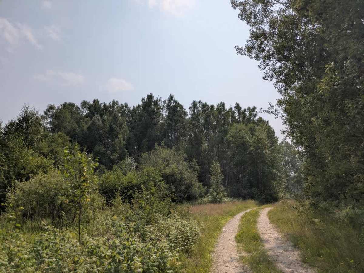
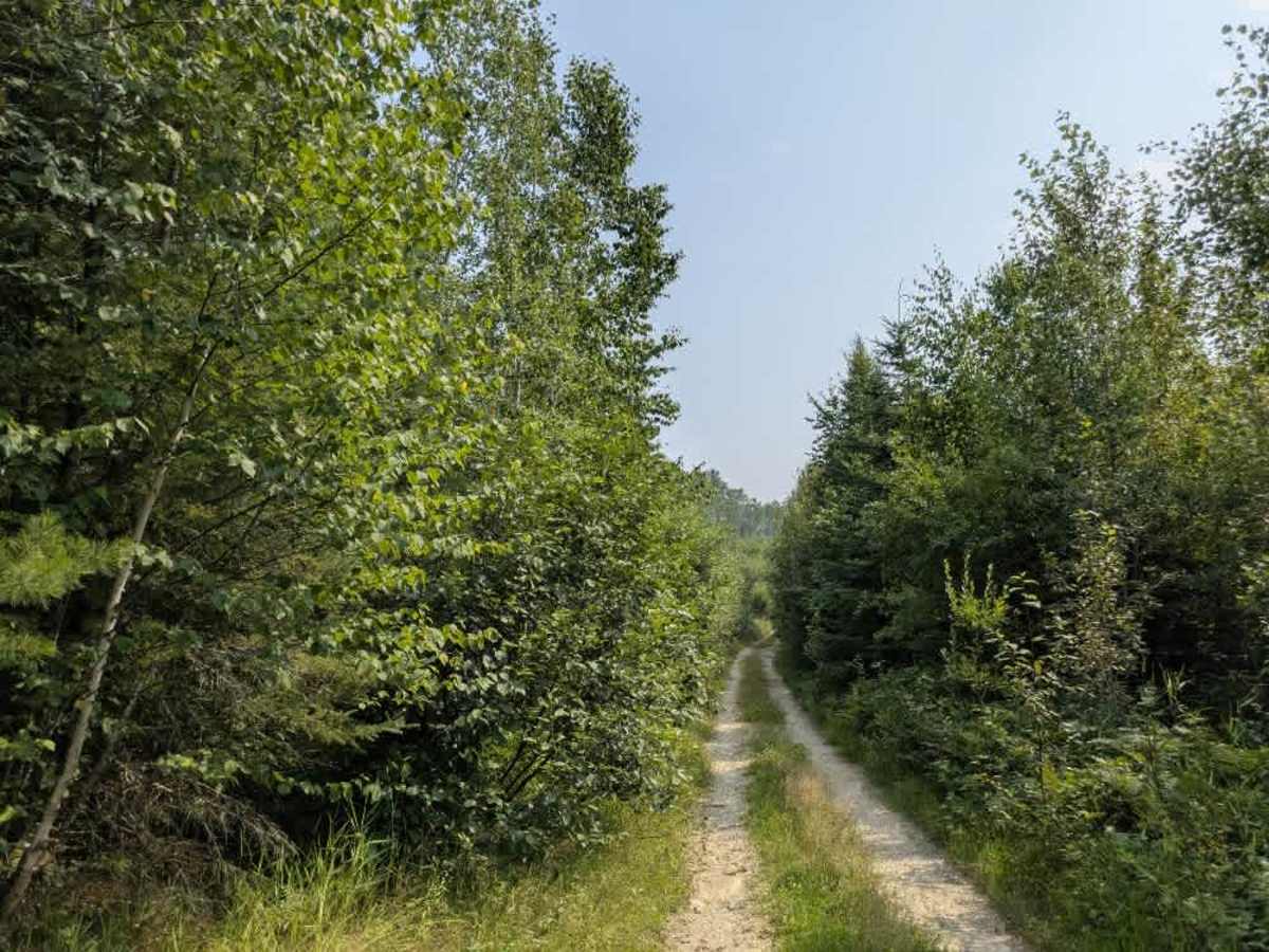
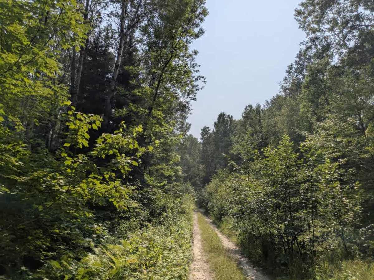
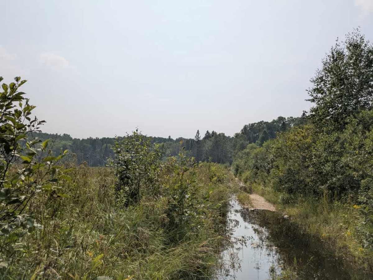
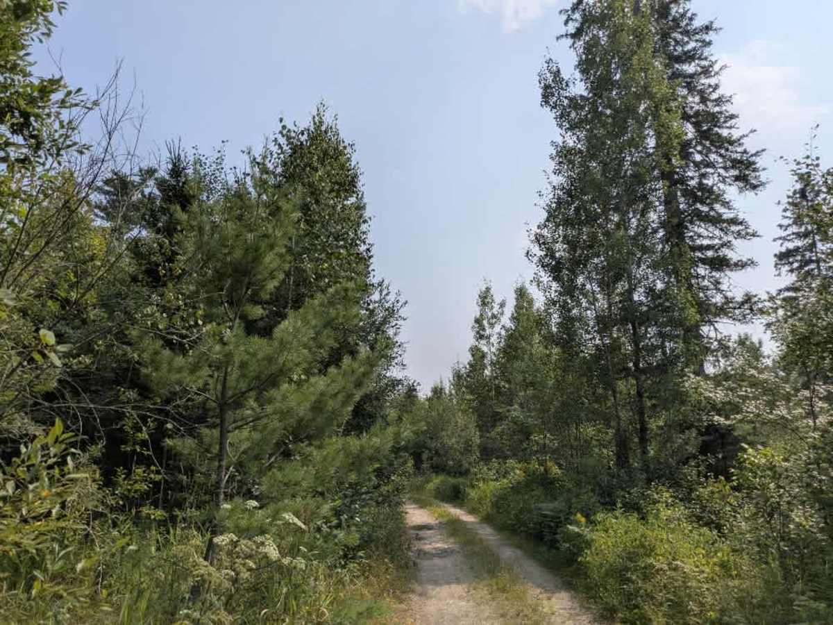
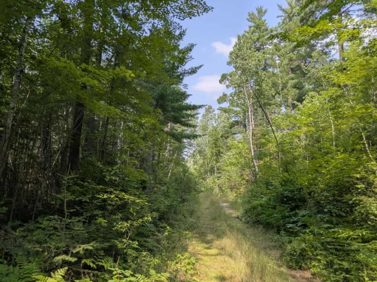
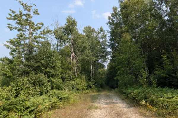
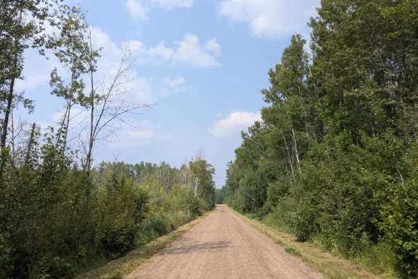
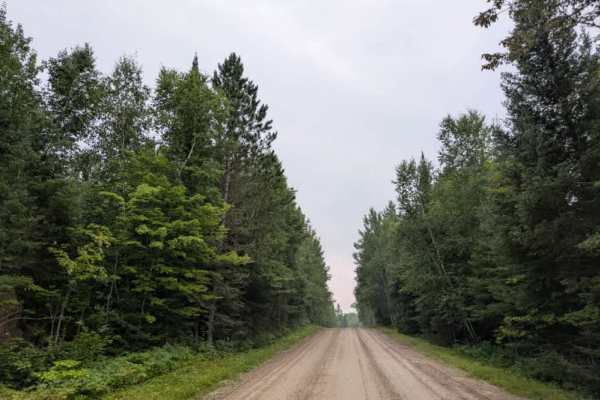
This trail begins as a narrow, overgrown two-track with uneven terrain and a high likelihood of pinstriping. It winds through forested terrain with moderate ascents and descents and passes by a private property before descending toward a small lake. During August, the trail tends to be particularly wet, with numerous large puddles and potholes that can make progress slow and bumpy. After passing the lake, the trail climbs again into dense forest and becomes increasingly overgrown. At a junction further along, the more traveled path veers to the right, but this route continues to the left, where conditions become significantly rougher. The trail is marked by large bumps and concealed irrigation pipes that protrude into the path. It eventually reaches another fork with a closed gate and a small clearing where dispersed camping is possible, although bugs can be an issue. While the trail is generally enjoyable for those prepared for its rugged conditions, it is quite rocky, remote, and lacks any formal facilities. There are no developed campsites, and travelers should not expect access to water, trash services, or reliable cell reception.
Difficulty
This trail has not been maintained and is rarely used. Expect overgrowth, downed trees, and dense underbrush in areas. Travel is slow with backcountry obstacles. There are several obstacles along the way.