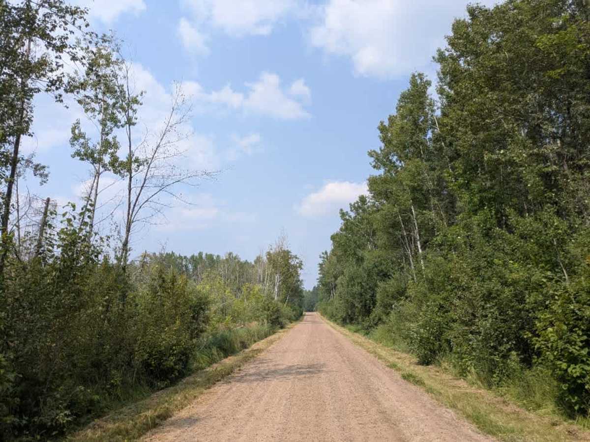
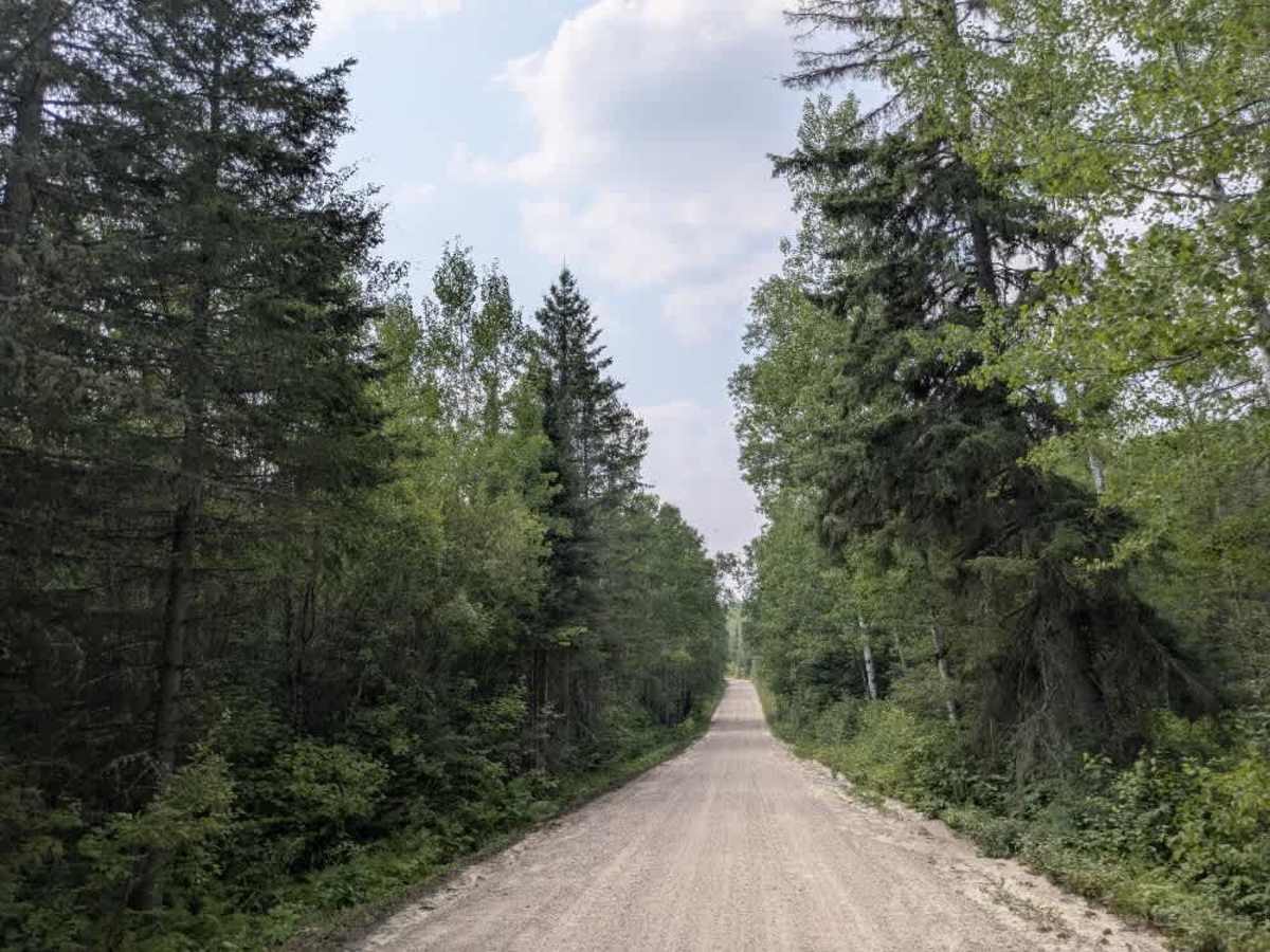
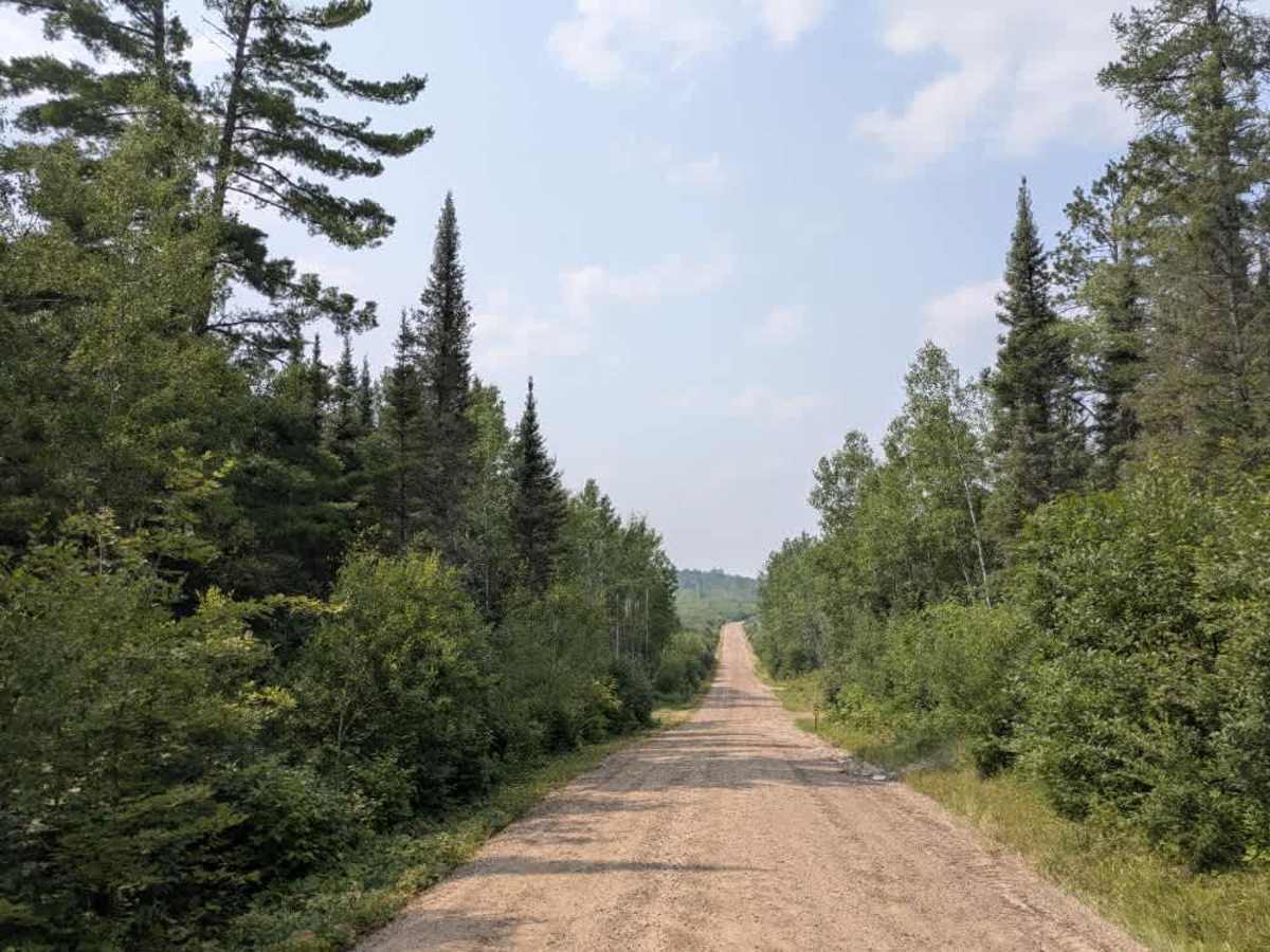
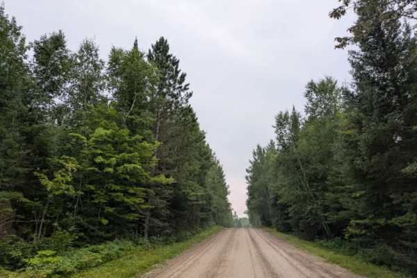
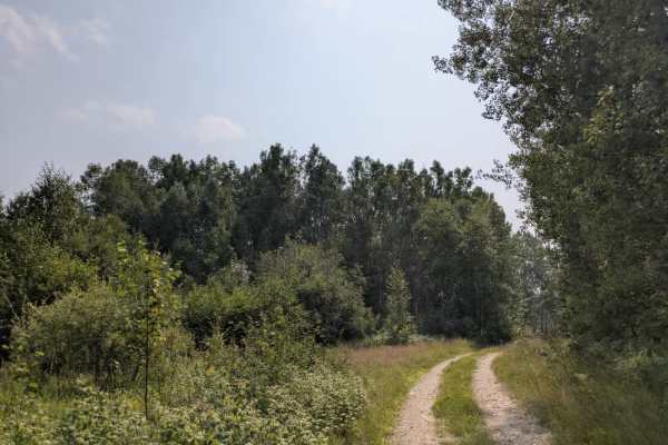
Trail Overview
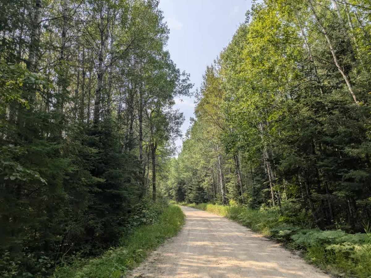
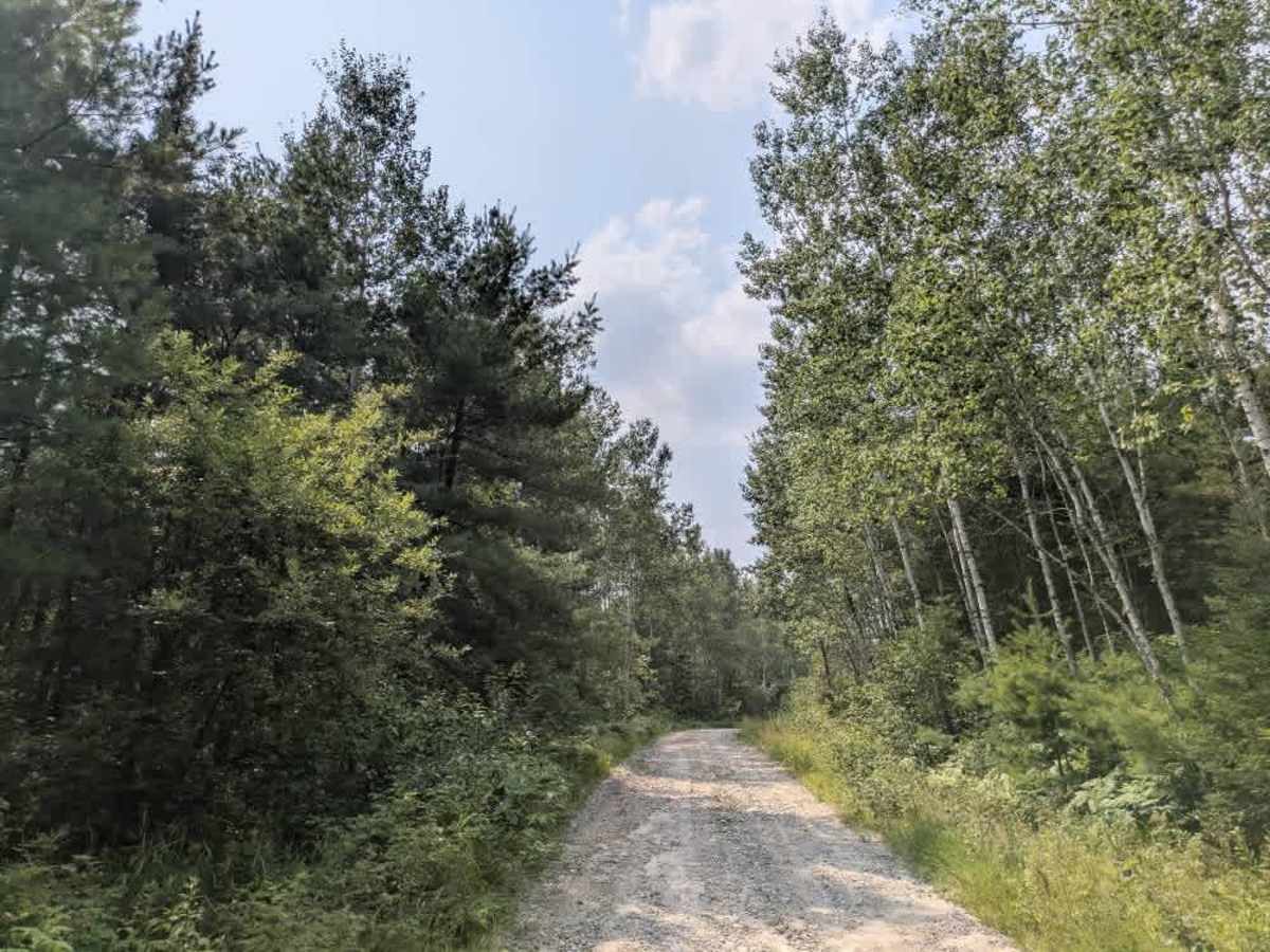
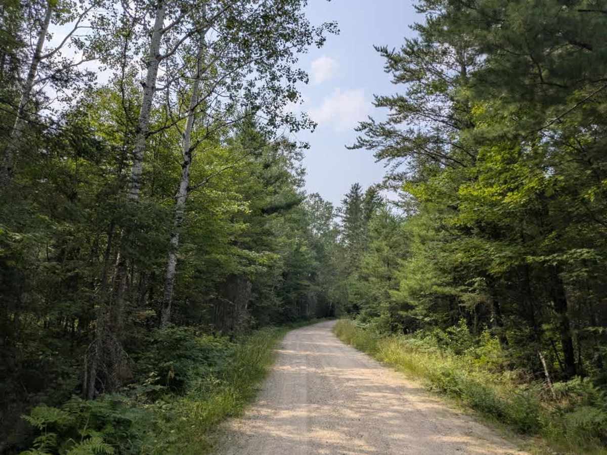
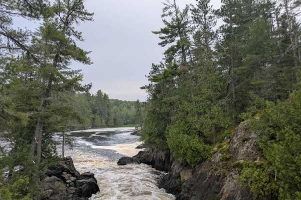
This trail begins as a wide, well-maintained route that passes several older residential properties. The presence of homes and driveways along this initial stretch means that users should drive cautiously and respect local traffic. After the first group of residences, the trail narrows into a two-track path that descends toward a river with a public water access point. From there, the trail climbs again, leading past more homes before coming to an abrupt end at a private road with no outlet. The character of the trail changes noticeably along its length. The first half is relatively smooth and wide, while the second half becomes bumpier, with a mix of sand, rock, and uneven terrain. A number of side trails branch off from the main route, though most appear overgrown and infrequently used. ATV use is permitted along the trail. There are no developed campsites or amenities, and travelers should not expect access to trash disposal, water, or consistent cell service.
Difficulty
The trail is maintained but can develop light overgrowth between trims, especially in the winter months. Commonly used by local OHV traffic, the path remains visible and passable, though branches and low brush may occasionally encroach. The initial 2.4 miles cannot be accessed by OHVs, but the remainder is open for all vehicles.