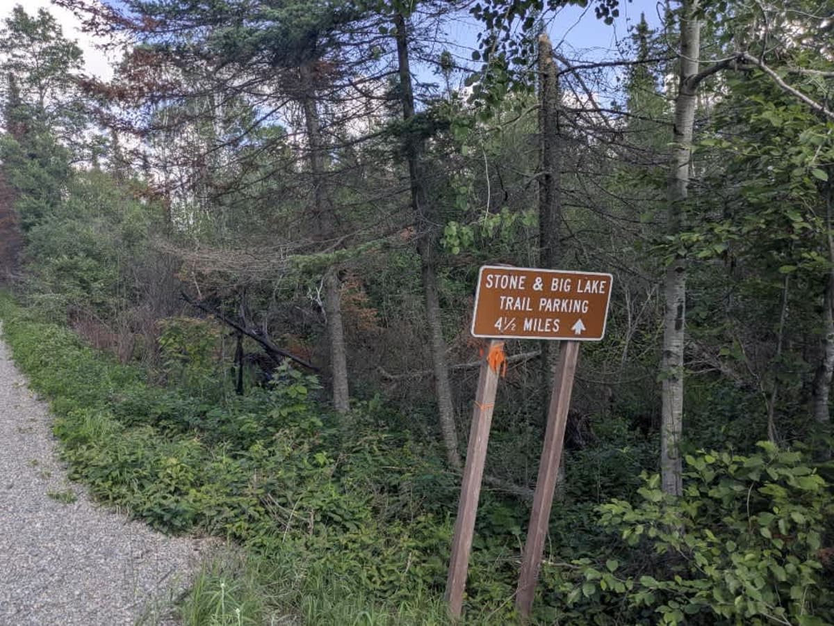
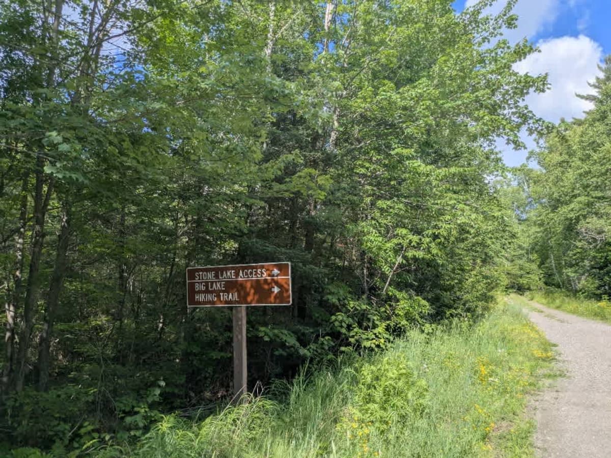
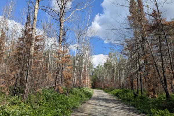
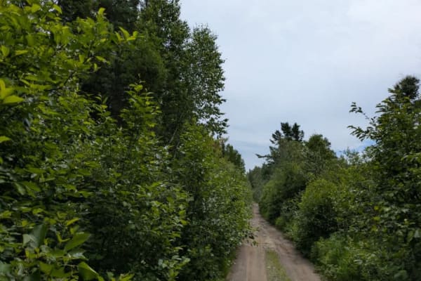
Trail Overview
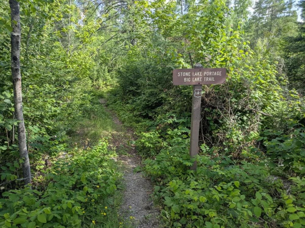
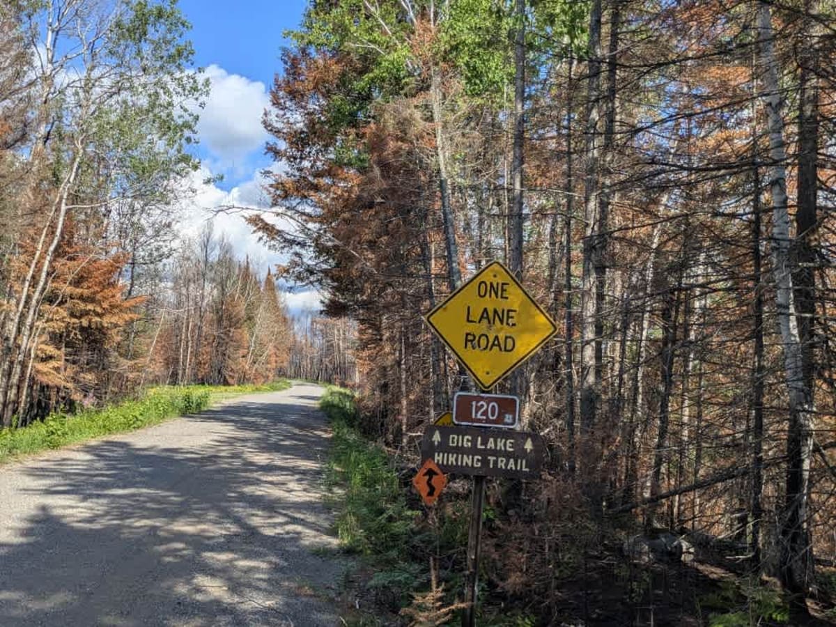
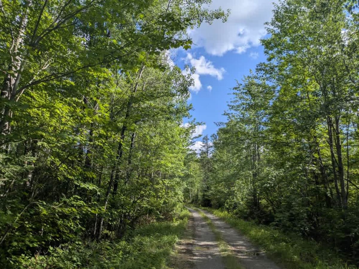
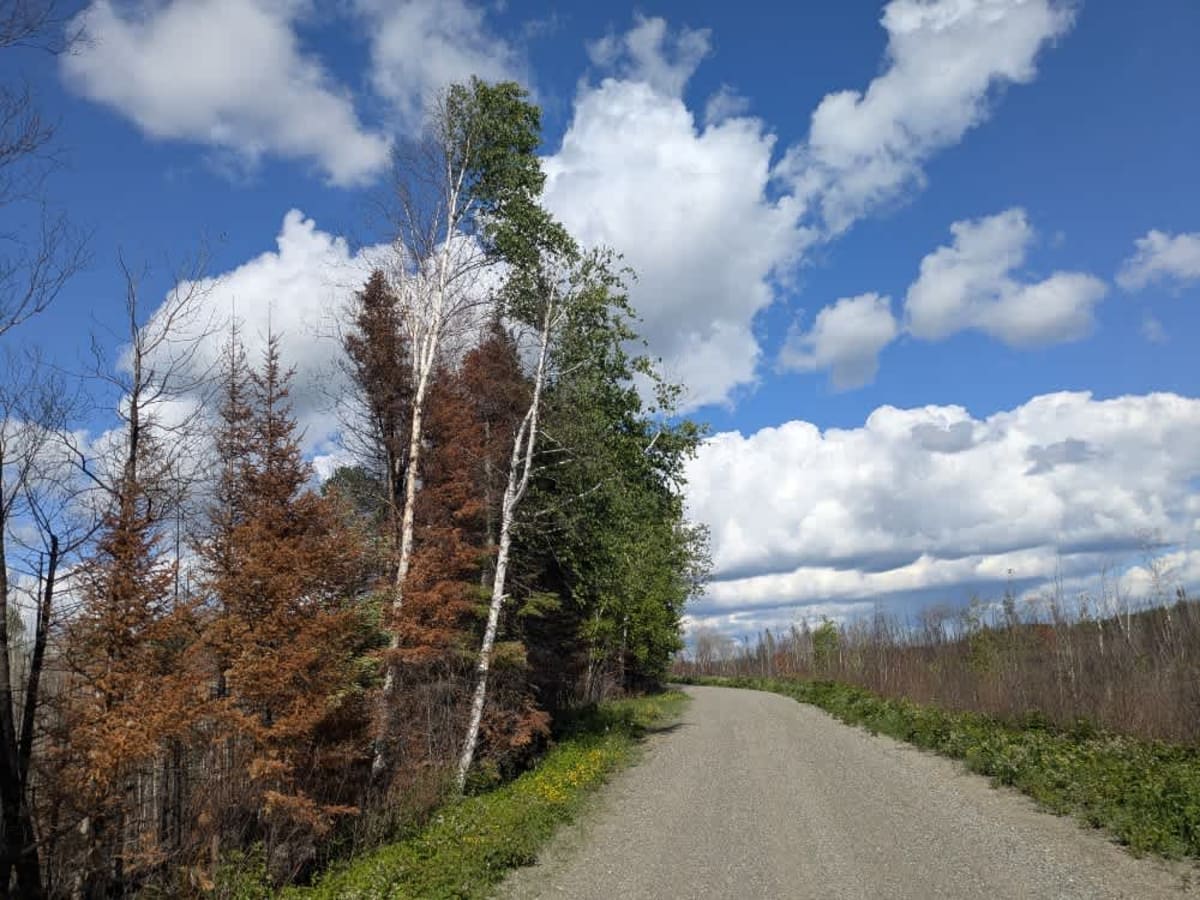
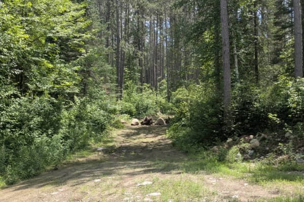
This trail can be accessed from Trail 569 and winds its way through a birch-dominated forest landscape. The main route is a smooth gravel surface, mostly one lane wide, and crosses an active railway line. Along the way, several smaller trails branch off, including an ATV trail marked by rocks at the entrance, which restricts access for larger vehicles. Most of these side trails are narrow and overgrown, making them better suited for foot traffic or small off-road vehicles. Evidence of a significant fire, possibly from the previous season, is visible throughout parts of the forest. At the end of the main vehicle trail is the trailhead for the Stone Big Lake Hiking Trail. Dispersed camping with a vehicle may be possible at this trailhead, while designated campsites further along the hiking trail are accessible only on foot. Wild rice harvesting is permitted along the hiking route. The final stretch leading to the trailhead narrows and features several potholes. While the area offers potential for dispersed camping, it lacks formal campsites and amenities. There are no toilets, water sources, or trash services, and cell service may be unreliable or unavailable. Campers should confirm regulations with local authorities and follow Leave No Trace practices.
Difficulty
This trail is well-maintained and regularly used by other OHV riders, road users, including residents in the area.