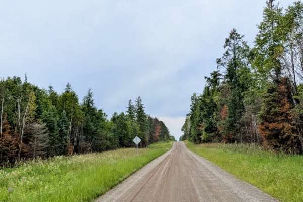
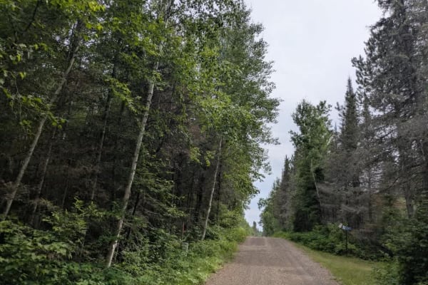
Trail Overview
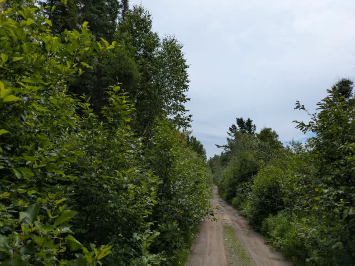
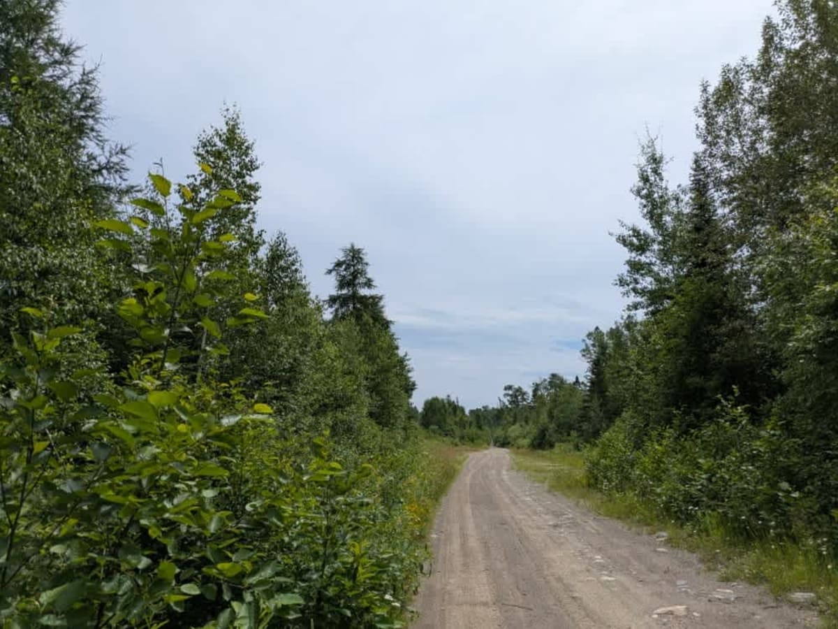
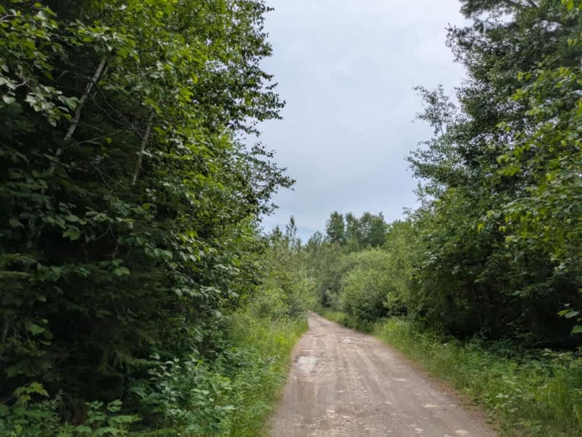
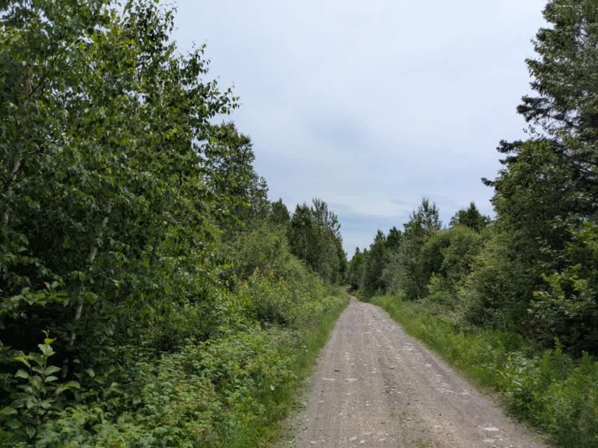
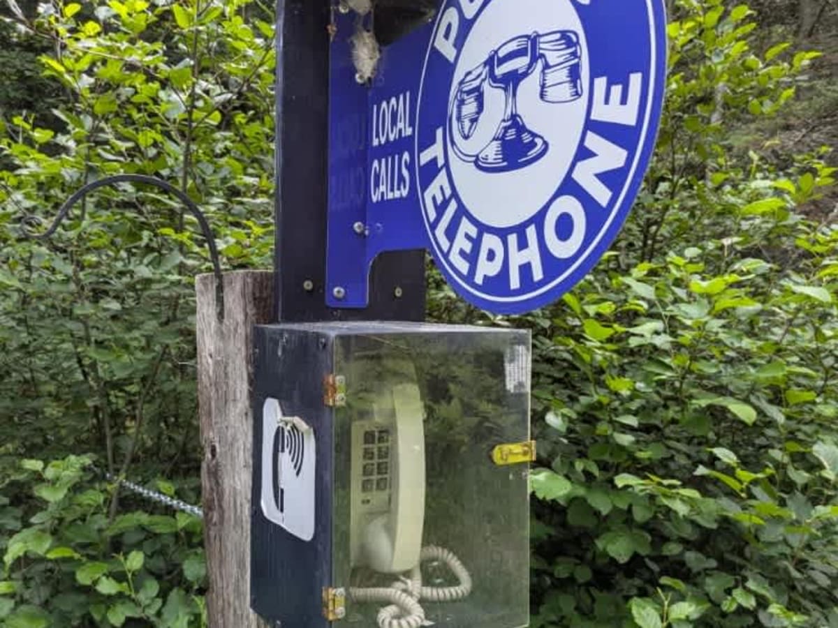
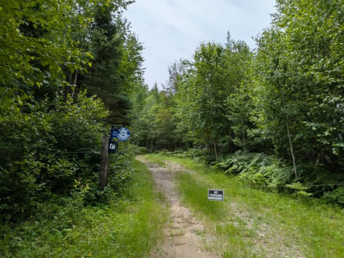
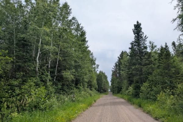
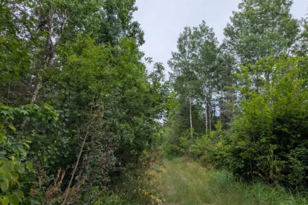
This trail runs parallel to the railway tracks and is accessed via Trail 418. It is narrow and unmaintained, with a rough surface that includes rocks, mud, and uneven ground. The vegetation is dense in places, making the trail increasingly overgrown the farther you go. High-clearance 4WD vehicles can follow the trail only up to a bridge, beyond which it narrows further and becomes suitable only for ATVs and side-by-sides. A "No Trespassing" sign is posted just after the bridge, though the trail continues along the tracks. Before reaching the bridge, several smaller trails split off from the main route, and a clearing near a quarry may offer a suitable spot for camping. Interestingly, there is a public telephone mounted near the entrance to a private trail, though its functionality is uncertain and best confirmed in person (we know, but we aren't telling). This route appears to be popular among ATV and side-by-side users; one local we encountered was towing a small boat with an ATV on the way to fish. There is also a designated SXS/ATV trail that crosses both the main trail and the railway tracks, which may be locally known as either the Yukon Trail or the Beaver Trail. While the route offers no formal campsites, dispersed camping is generally permitted within the the Superior National Forest, provided it is done outside the Boundary Waters Canoe Area Wilderness. The trail lacks any amenities, including trash bins, restrooms, or water sources, and cell service may be limited or unavailable. Campers should come prepared and follow Leave No Trace principles.
Difficulty
The trail is maintained but can develop light overgrowth between trims, especially in the summer months. Commonly used by adventurers and local OHV traffic, the path remains visible and passable, though branches and low brush may occasionally encroach.