Trail Overview
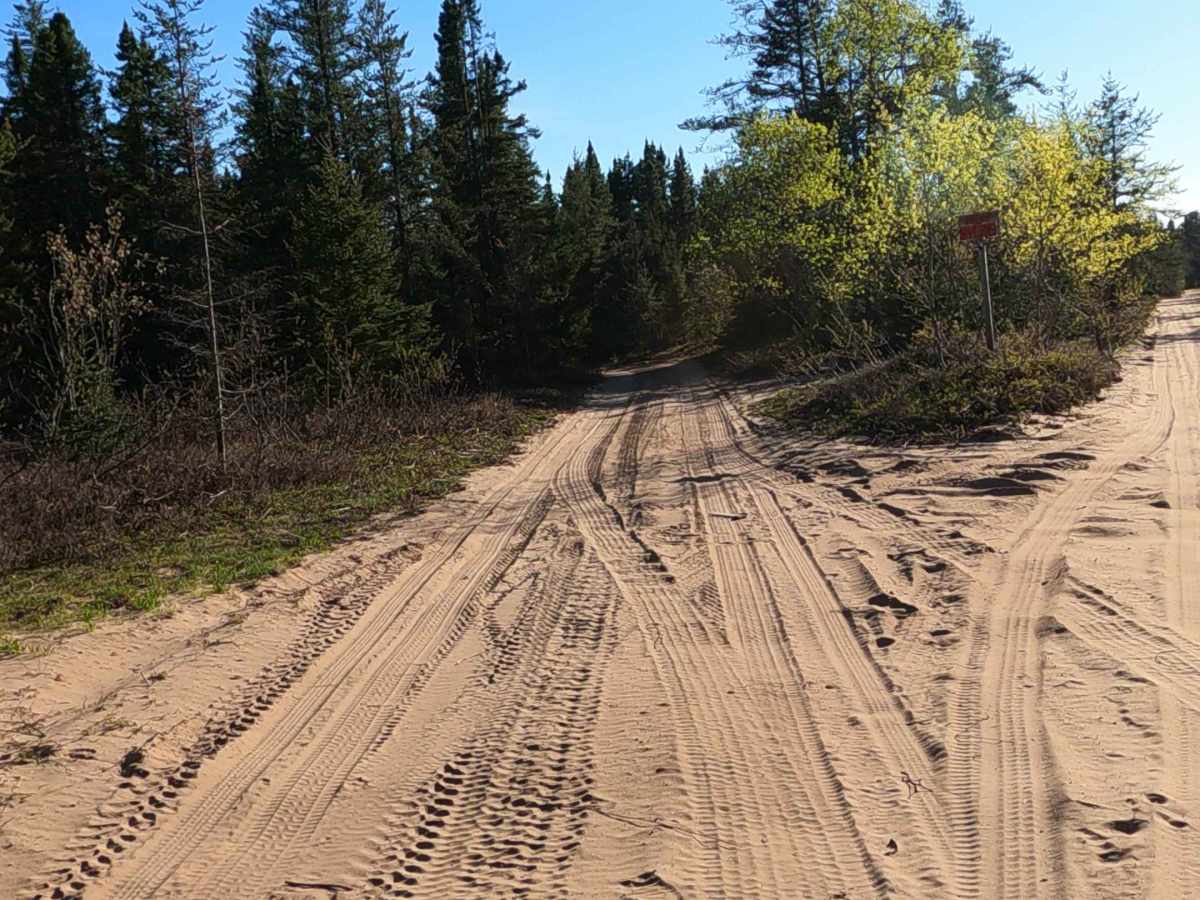
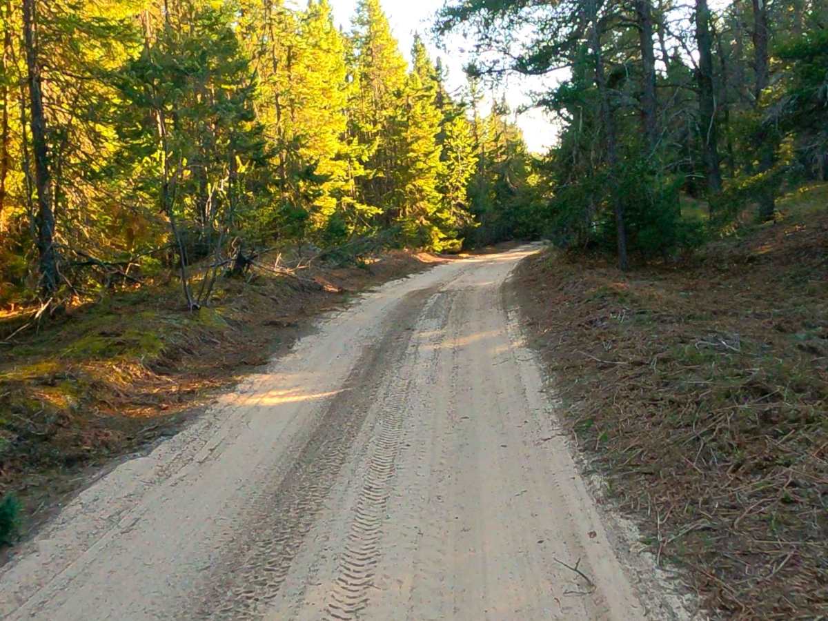
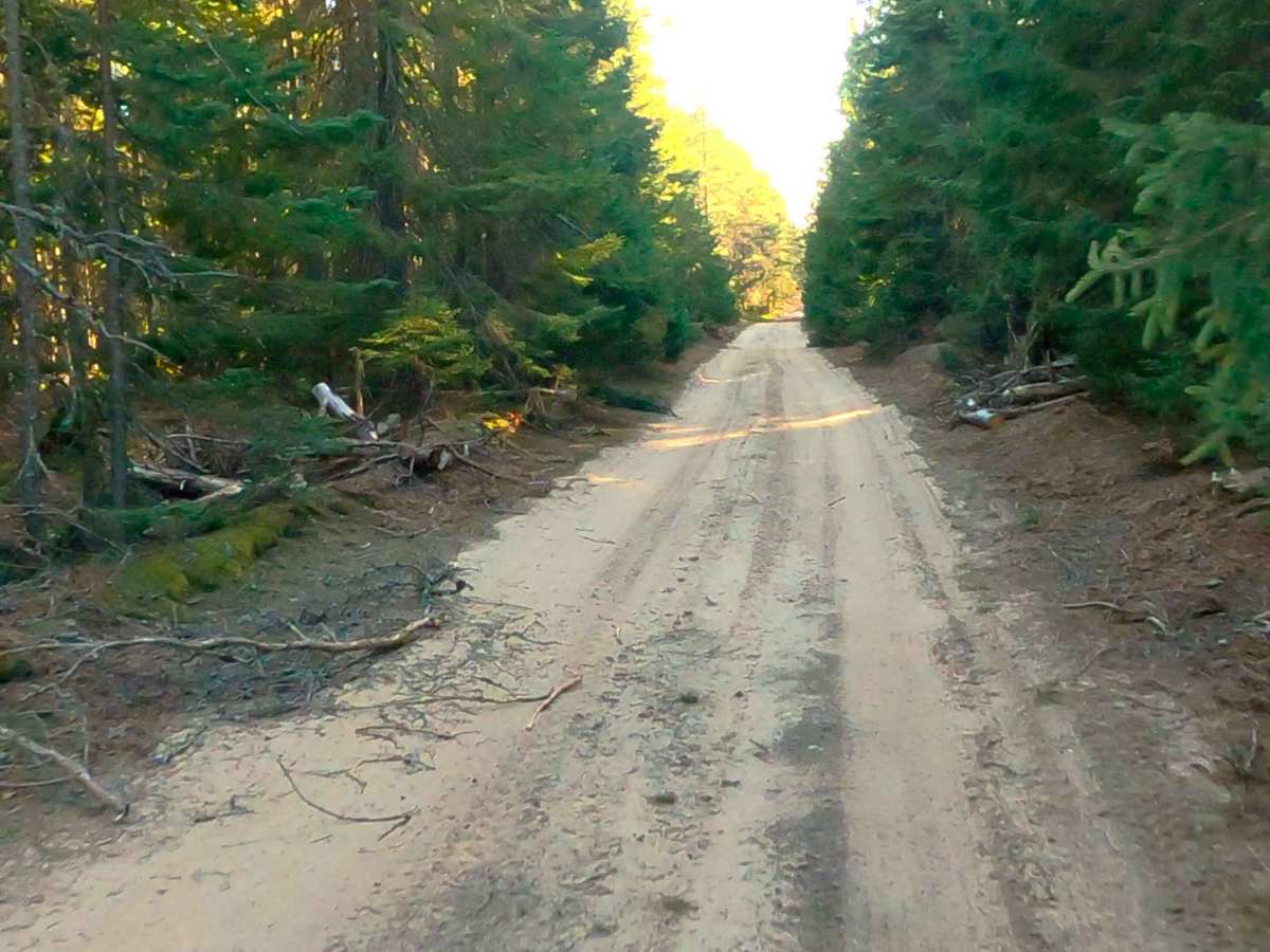
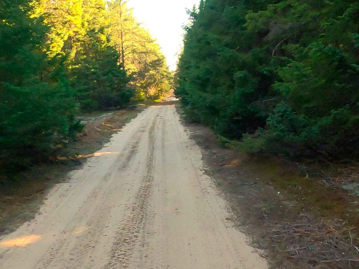
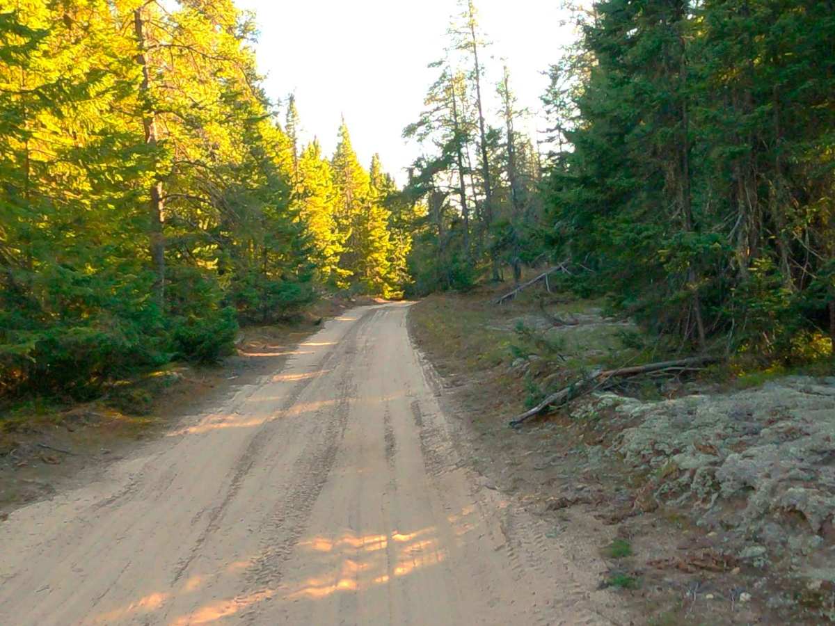
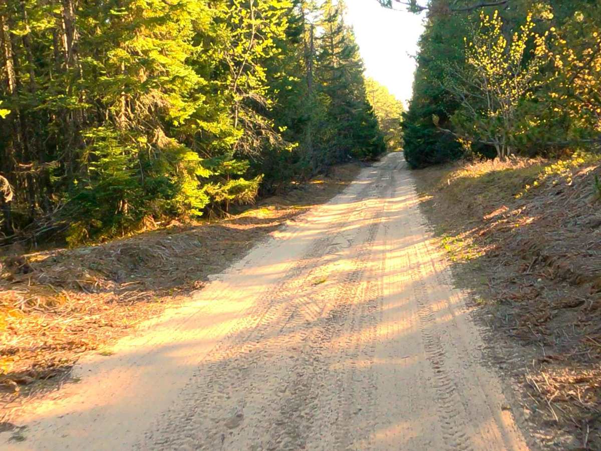
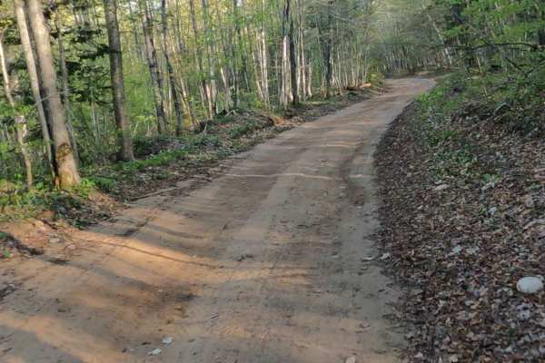
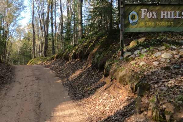
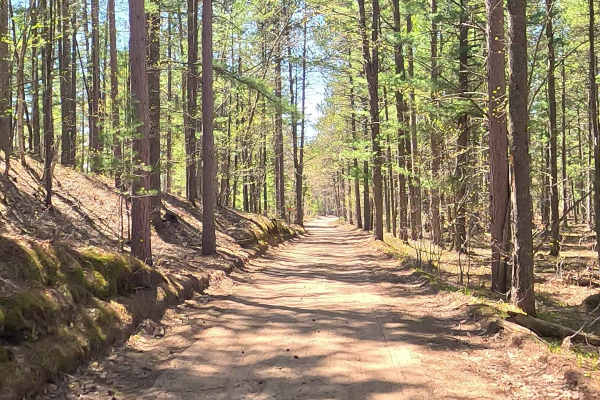
West Verns Road is a state-owned/ locally maintained, Level-2/ Level-3, "There-and-Back" forest access route with a surface composition of sand, dirt, and native material. It offers access to forested "Two-Tracks" and hiking paths within the deep wilderness of the Betsy River. It was once a spur of Betsy River Road.
Difficulty
Sand, dirt, gravel route typically unmaintained after rain or snow that may give rise to water crossings under 12 inches and obstacles such as trees and tree branches.
History
The region around Verns Road and Betsy River Road transitioned from old-growth logging to a protected wilderness and recreational gateway, becoming famous for extensive snowmobile trails (like Trail #8) and dense state forests. Verns Road was incorporated into state park and waterway planning due to its close proximity to the Lower Falls of the Tahquamenon River and the surrounding marshlands.