Trail Overview
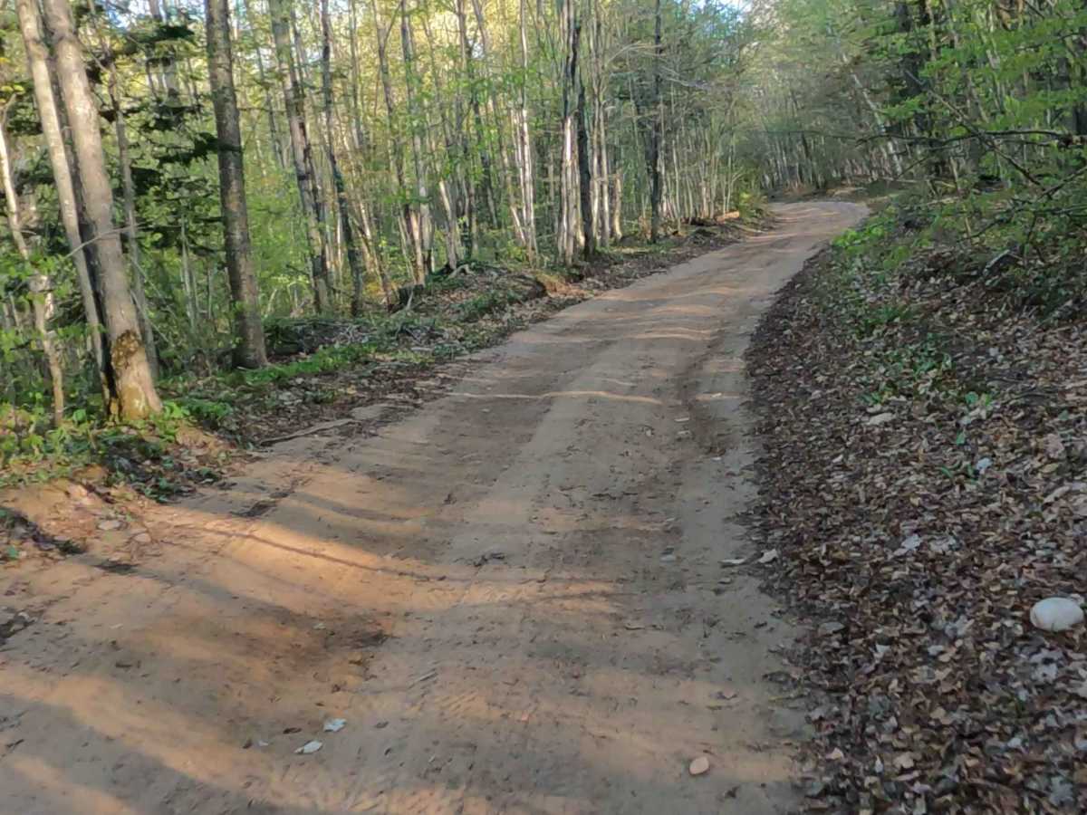
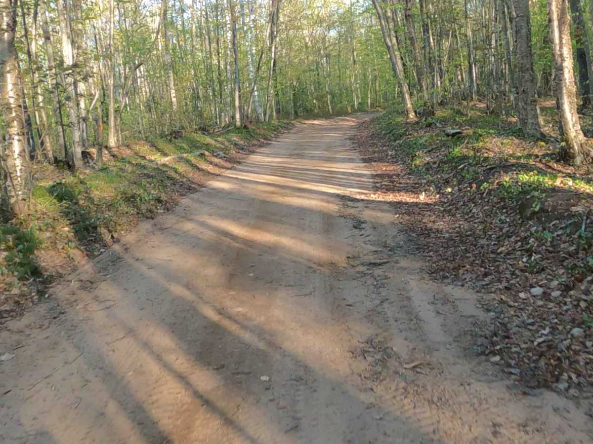
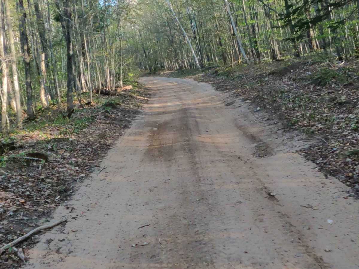
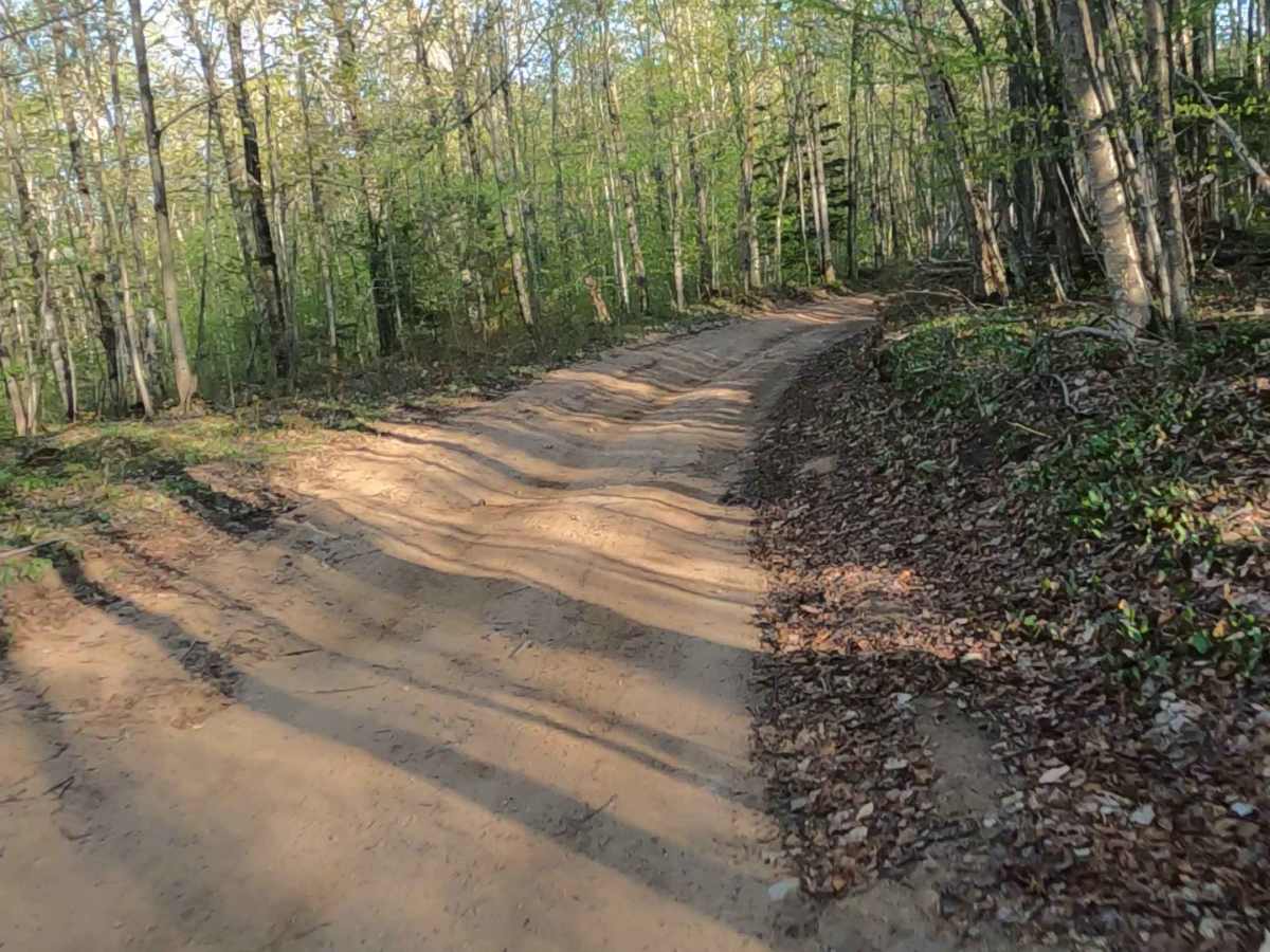
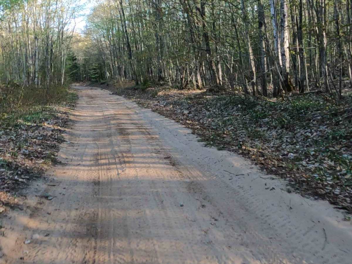
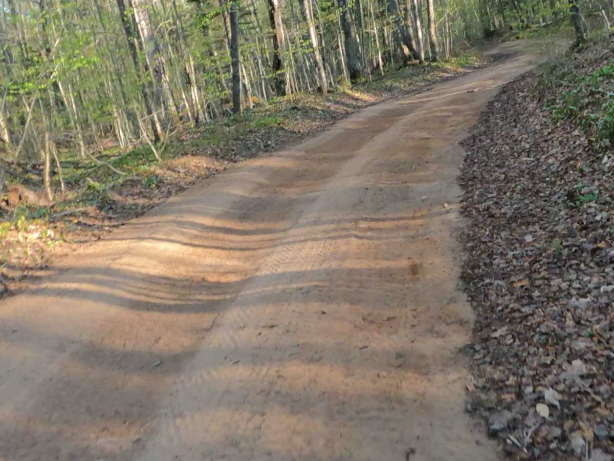
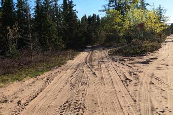
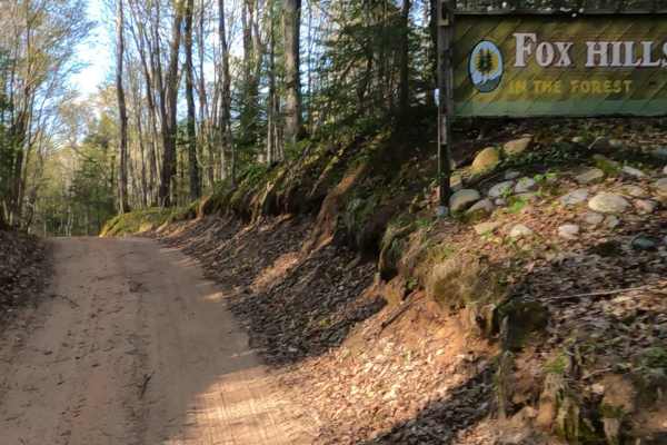
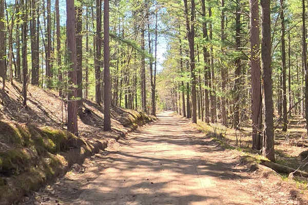
West Bear Lake Road is a state-owned/ locally maintained, Level-2/ Level-3, forest access route with a surface composition of sand, dirt, and native material. It offers access to forested "Two-Tracks" and hiking paths within the deep wilderness of the Betsy River. It was once a spur of Betsy River Road.
Difficulty
Sand, dirt, gravel route typically unmaintained after rain or snow, which may give rise to water crossings under 12 inches and obstacles such as trees and tree branches.
History
The history of West Bear Lake Road is tied to both the Upper Peninsula's maritime/lumbering heritage and the natural wilderness of Chippewa County. It sits within riding distance of vast contiguous ORV and snowmobile trail networks that crisscross the Upper Peninsula. Parcels along West Bear Lake Road have transitioned from early logging tracts into large, private acreage, with many lots spanning 35 to 80 acres featuring dense woods and lake frontage.