Trail Overview
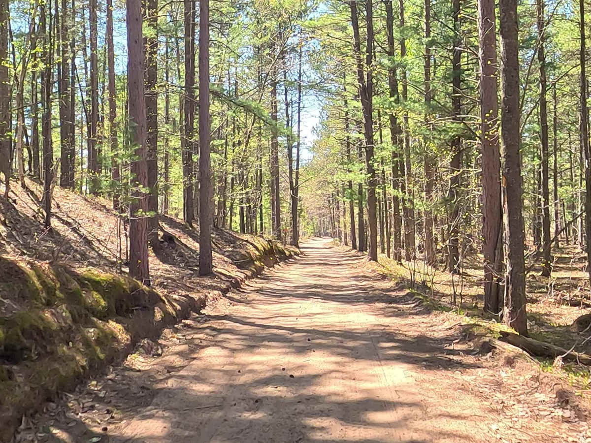
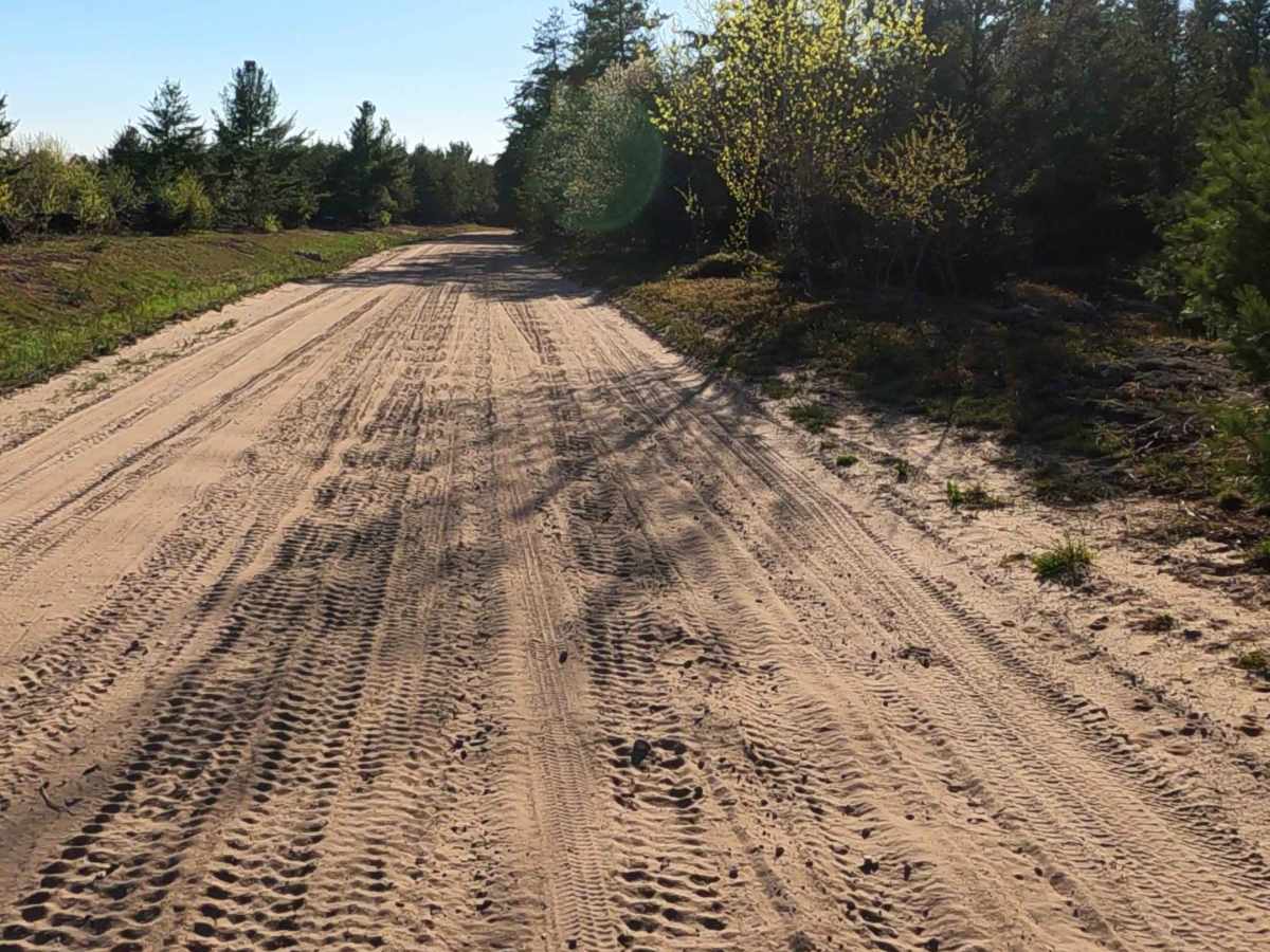
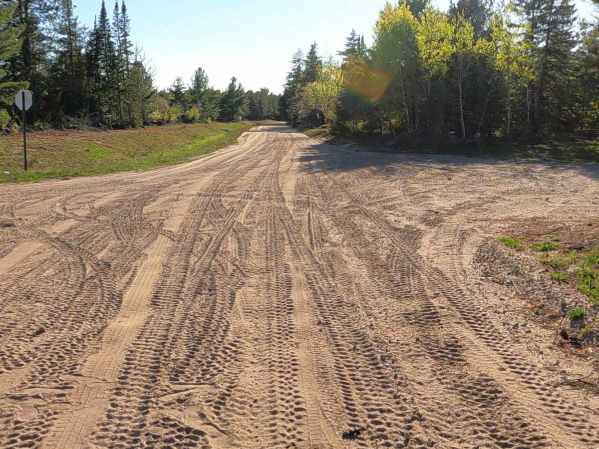
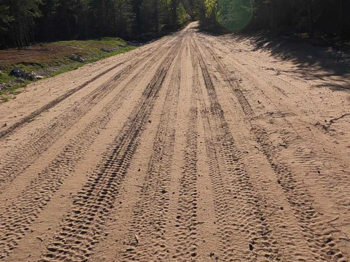
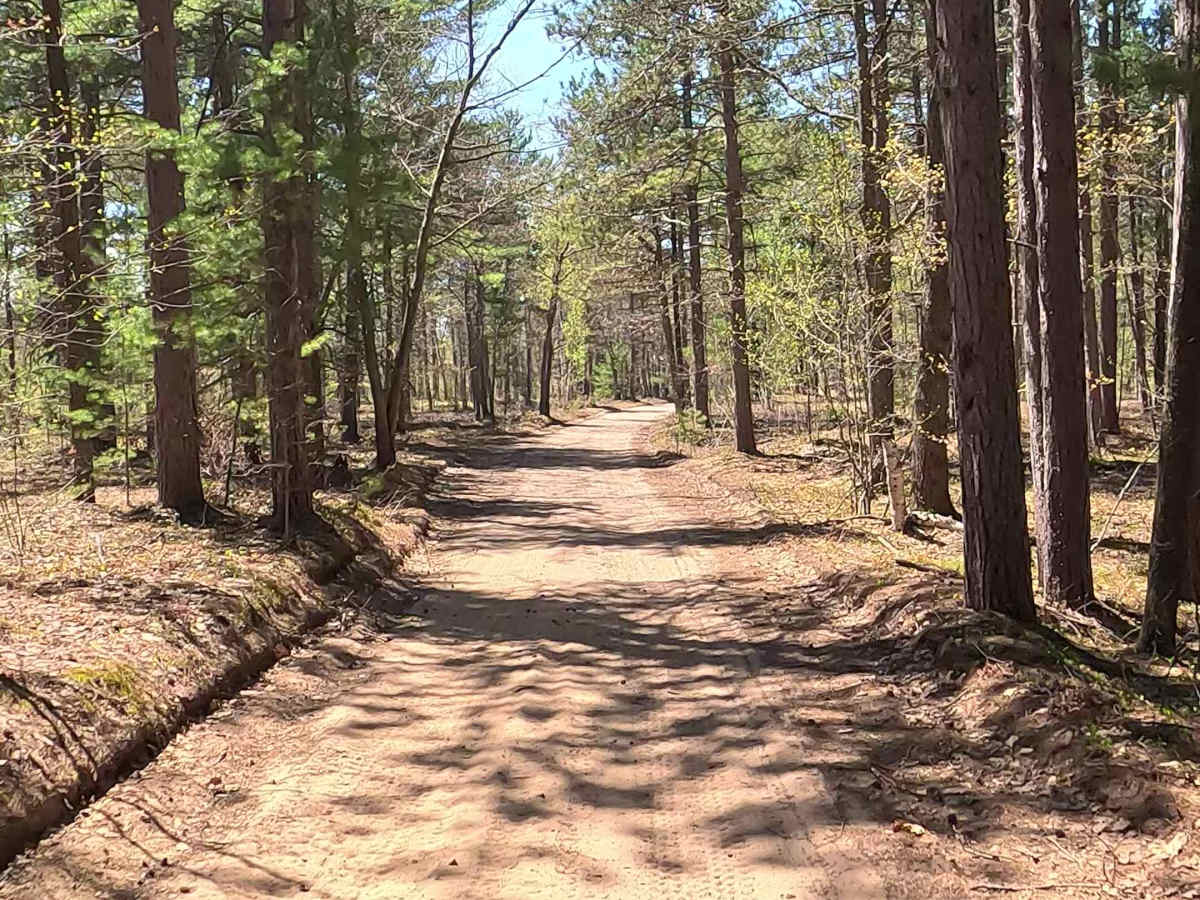
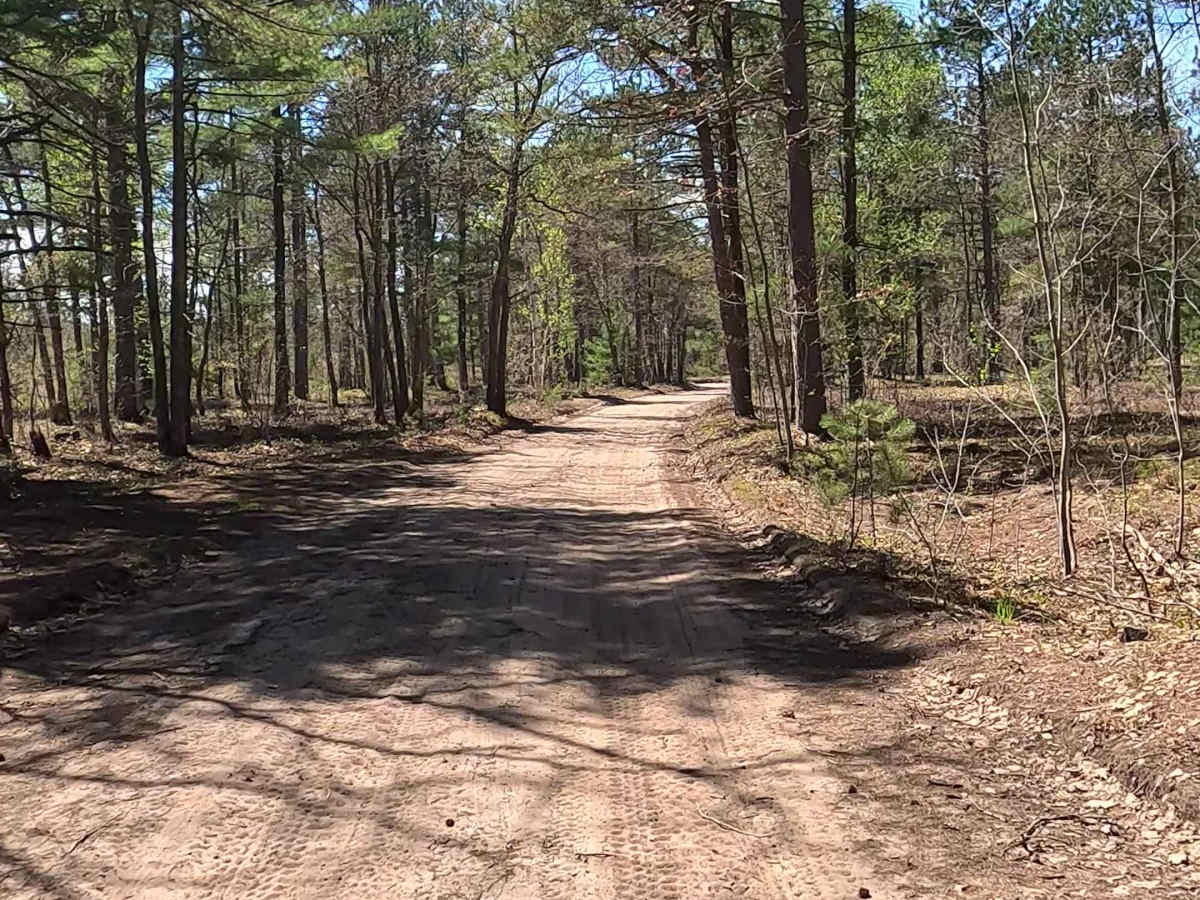
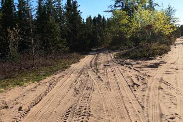
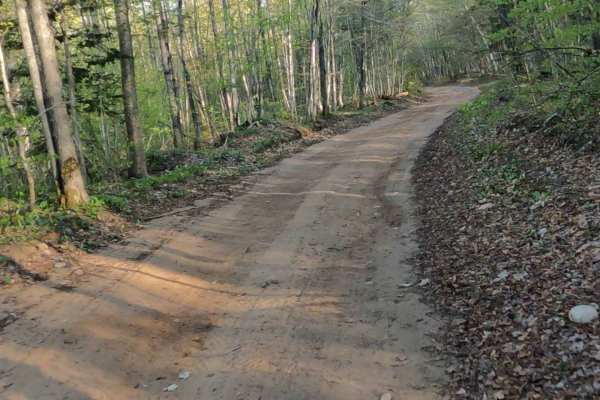
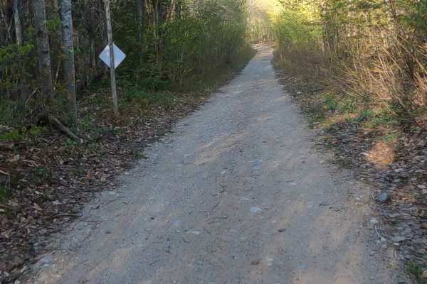
W Betsy River Road is a state owned/ locally maintained, Level-2/ Level-3, forest access route with a surface composition of sand, dirt and native material. It offers access to a myriad of forested "Two-Tracks" and hiking paths within the deep wilderness of the Betsy River and Shelldrake Lake. Description created on May 26, 2026.
Difficulty
Sand, dirt, gravel route typically unmaintained after rain or snow that may give rise to water crossings < 12” and obstacles such as tree/ tree branches.
History
W Betsy River Road in Paradise, Michigan, serves as a remote, heavily wooded corridor in the Upper Peninsula. Historically, it traces the path of the Shelldrake River (often locally called the "Betsy River"). This area is deeply tied to the Native American fishing camps and the explosive late-19th-century logging boom. Prior to European settlement, the mouth of the river at Whitefish Bay supported seasonal Ojibwe fishing villages. In the 1890s and early 1900s, the river was crucial for transporting timber to sawmills. This led to the establishment of Shelldrake, a bustling sawmill town located where the river meets Lake Superior. By the 1920s, repeated fires and the exhaustion of lumber reserves led to the decline of Shelldrake. Today, it exists as a privately-owned ghost town with a few weathered buildings still standing near the mouth of the river.