Trail Overview
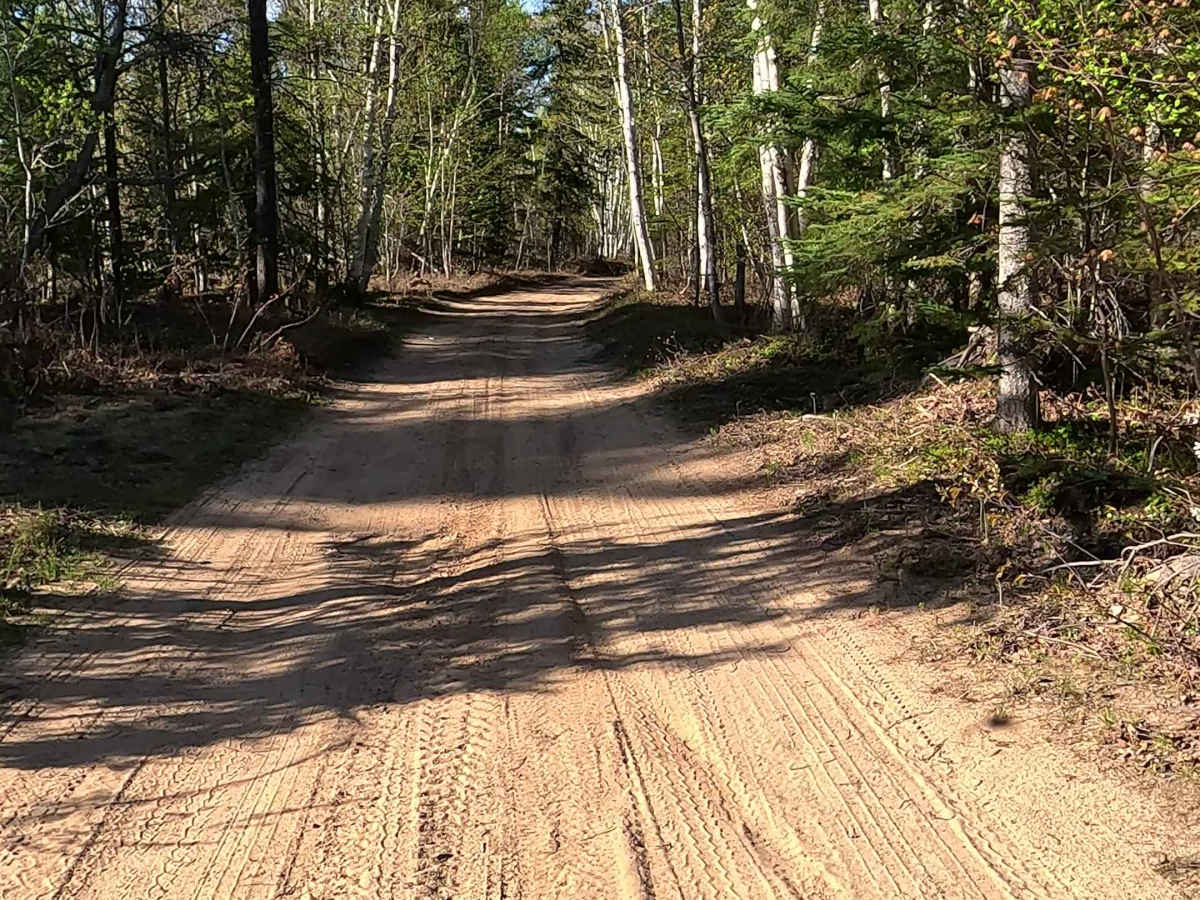
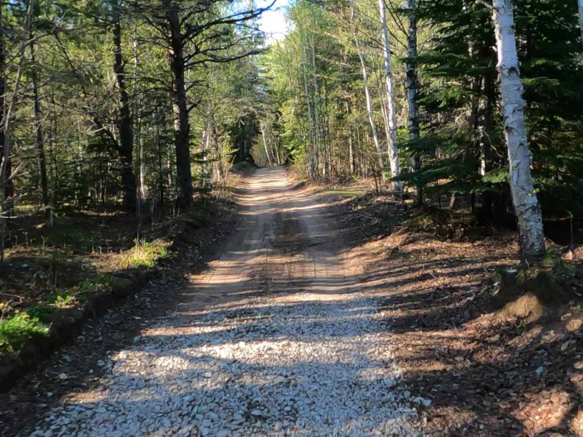
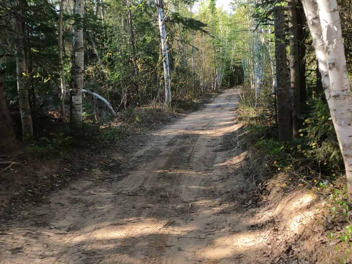
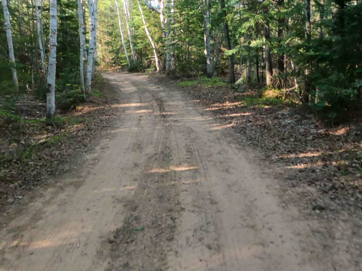
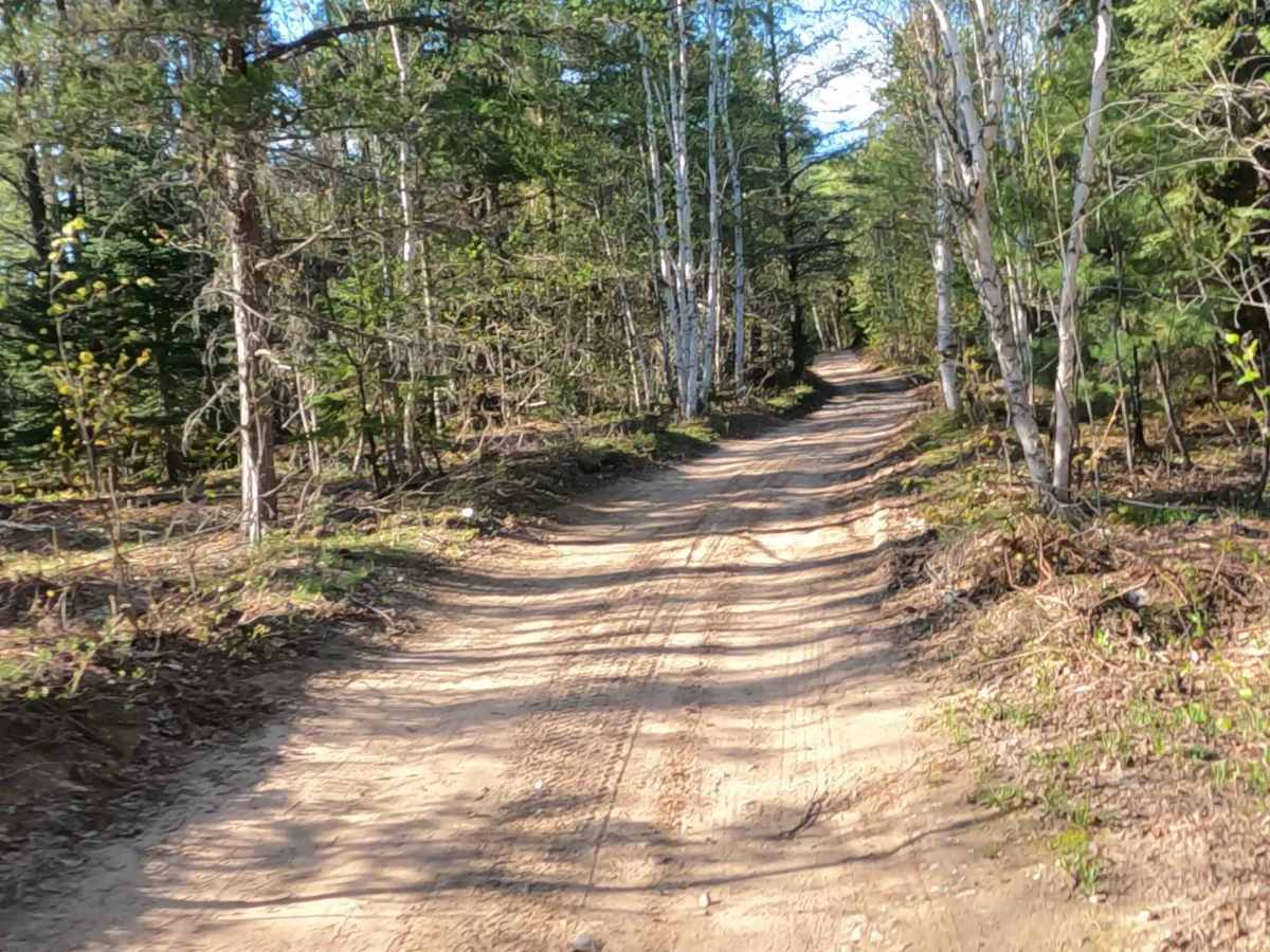
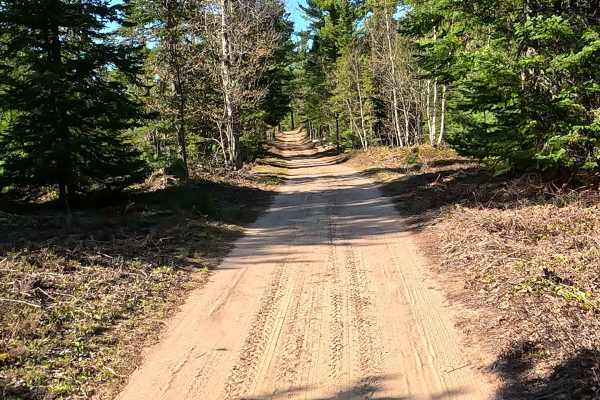
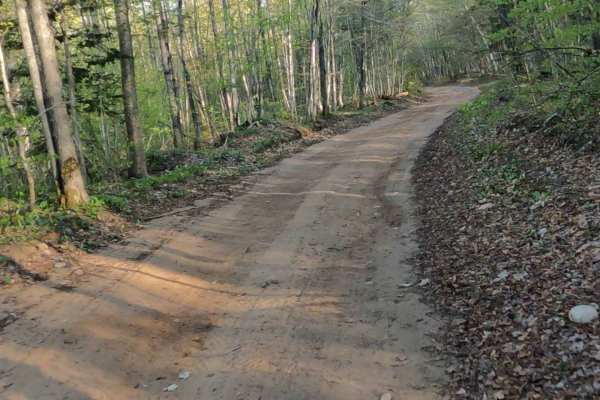
North Brooks Road, also known as Brooks Lane, is a state owned/ locally maintained, Level-2/ Level-3, forest access route with a surface composition of sand, dirt, and native material. It offers access to forested "Two-Tracks" and hiking paths within the deep wilderness of the Betsy River. It was once a spur of Betsy River Road.
Difficulty
Sand, dirt, gravel route typically unmaintained after rain or snow that may give rise to water crossings under 12 inches and obstacles such as trees and tree branches.
History
Brooks Lane (or Brooks Road) in Paradise, Michigan, is a quiet, remote residential and recreational trail located about 5 miles west of downtown Paradise, intersecting with Betsy River Road. Originally utilized as logging tracks, the lane's modern history is tied to the post-timber growth of Whitefish Township. After a devastating fire in the Whitefish Point area in 1922, wild blueberries naturally swept across the region, which gave rise to the historic local Wild Blueberry Festival that continues to be celebrated each August. The parcels surrounding Brooks Lane were platted into off-grid camps, rustic cabins, and residential plots to support hunters, anglers, and outdoor enthusiasts exploring the Upper Peninsula.

 Offroad