Trail Overview
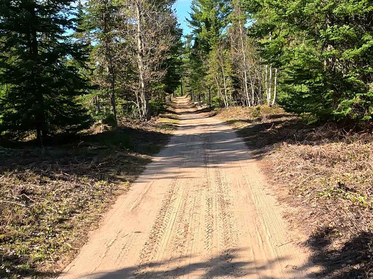
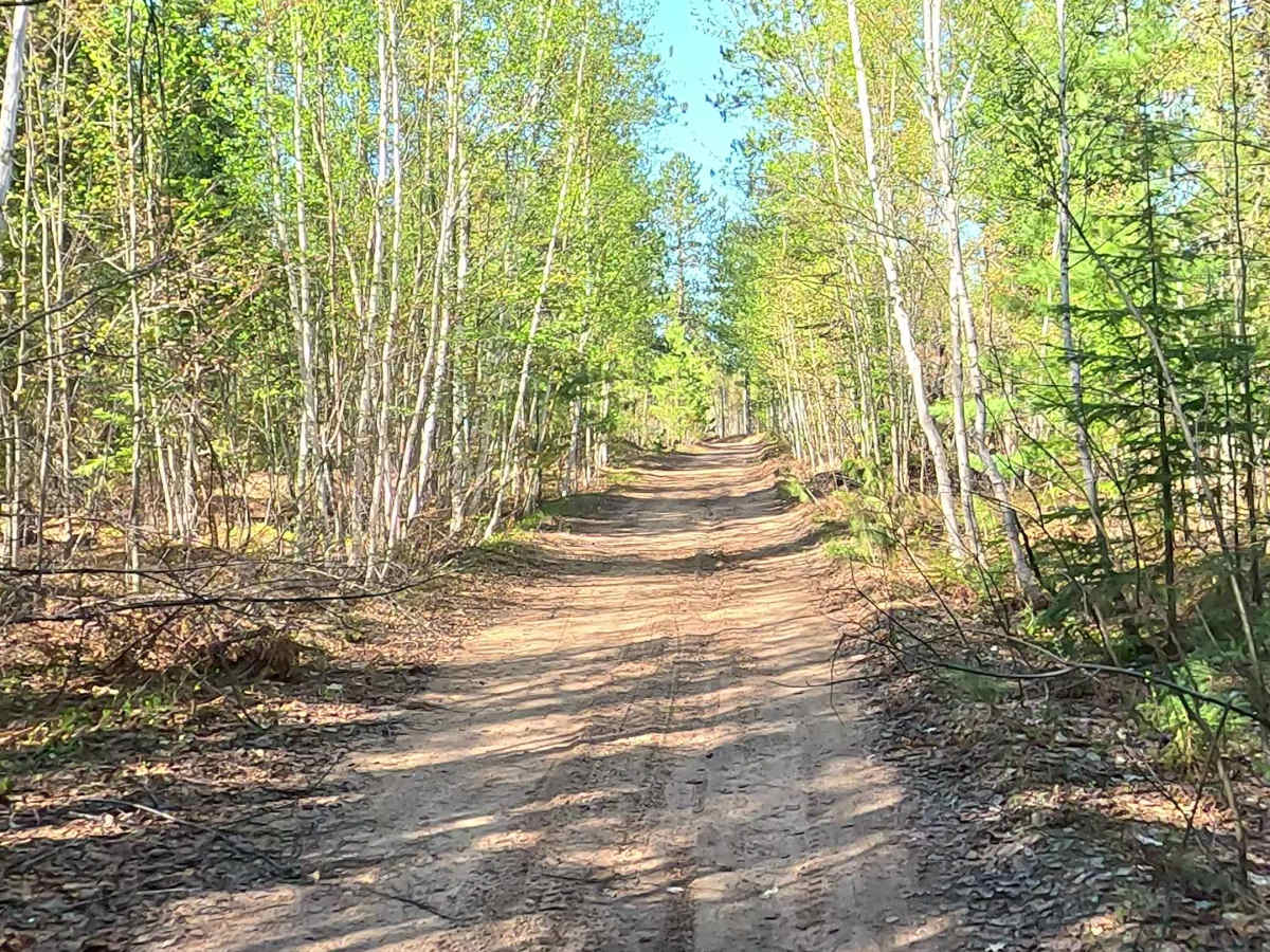
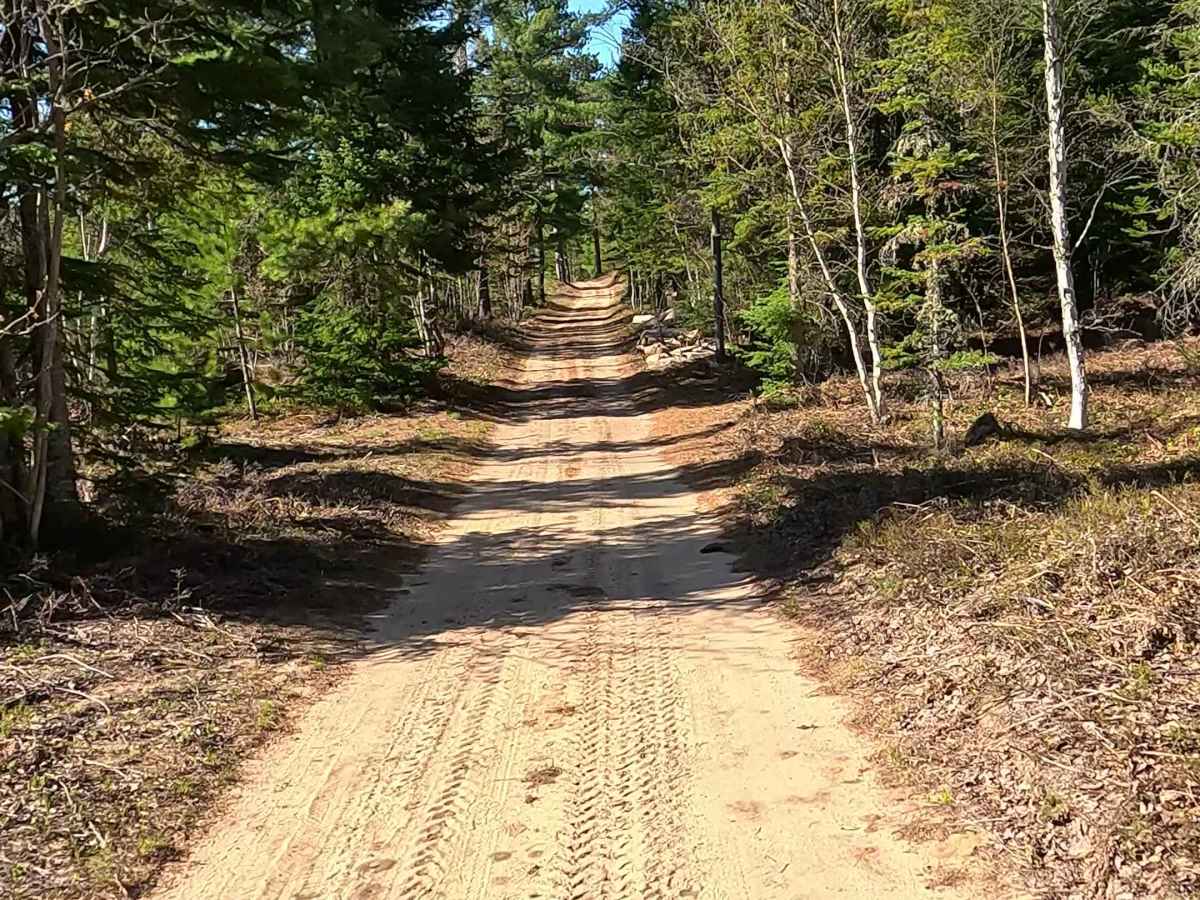
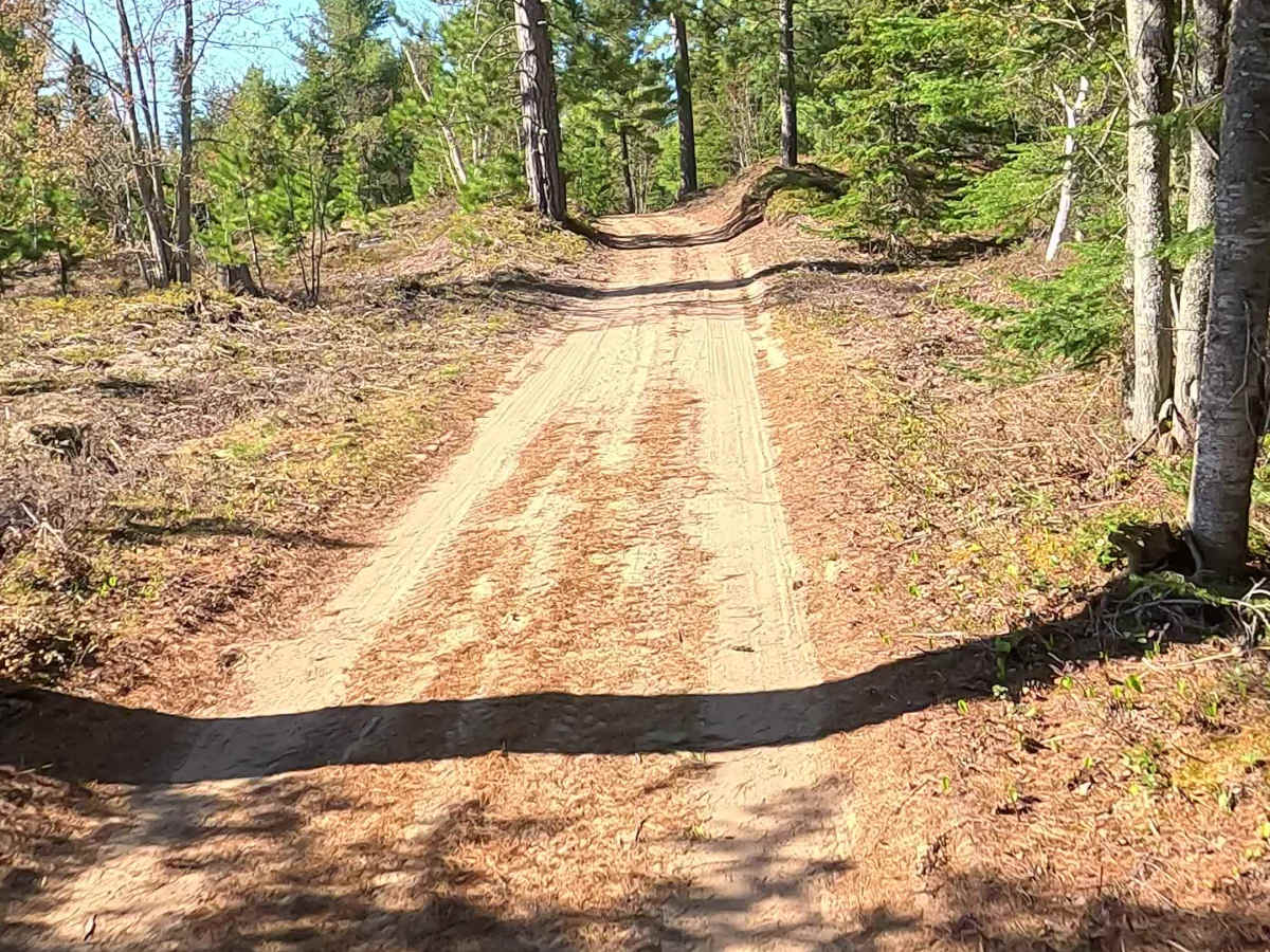
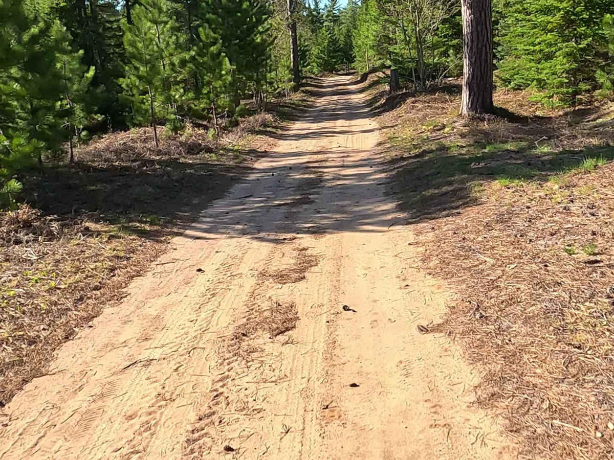
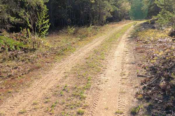
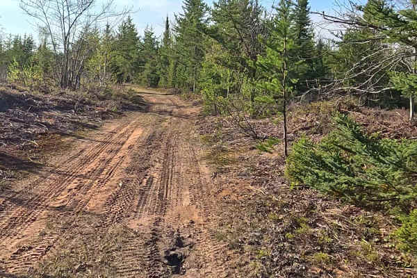
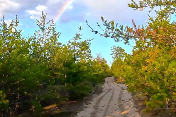
North McBryd Road is a state owned/ locally maintained, Level-2/ Level-3, forest access route with a surface composition of sand, dirt, and native material. It offers access to forested "Two-Tracks" and hiking paths within the deep wilderness of the Betsy River. It was once a spur of Betsy River Road.
Difficulty
Sand, dirt, and gravel route is typically unmaintained after rain or snow, which may give rise to water crossings under 12 inches and obstacles such as trees and tree branches.
History
North McBryd Road primarily serves as a remote, rural route winding through the Hiawatha National Forest. Historically, the region—founded in 1925—was driven by early 20th-century logging operations and today is known as a gateway to the Great Lakes Shipwreck Museum. The road traces an area tied to the Betsy River basin and legacy logging camps.