Trail Overview
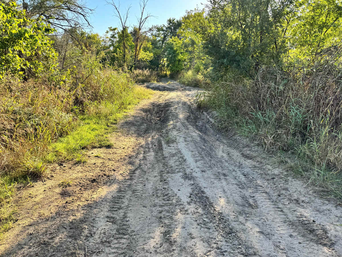
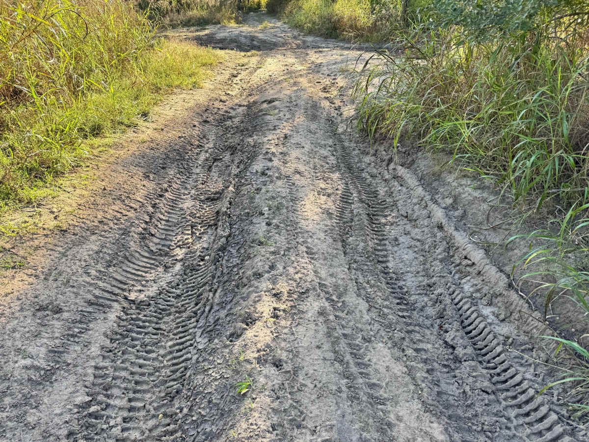
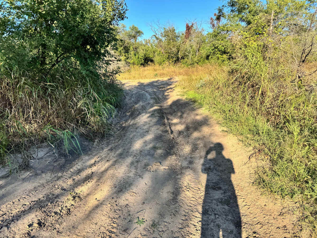
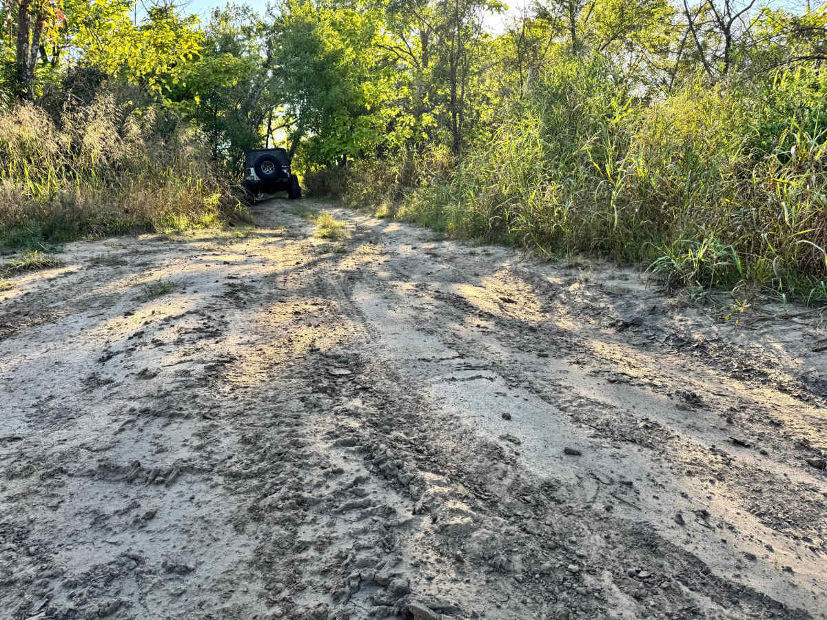
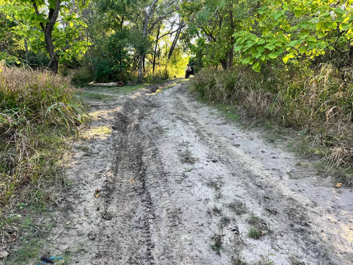
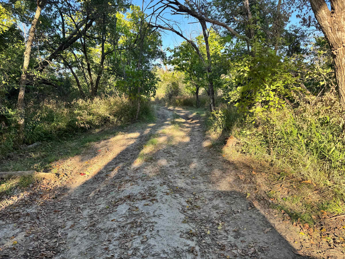
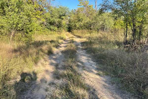
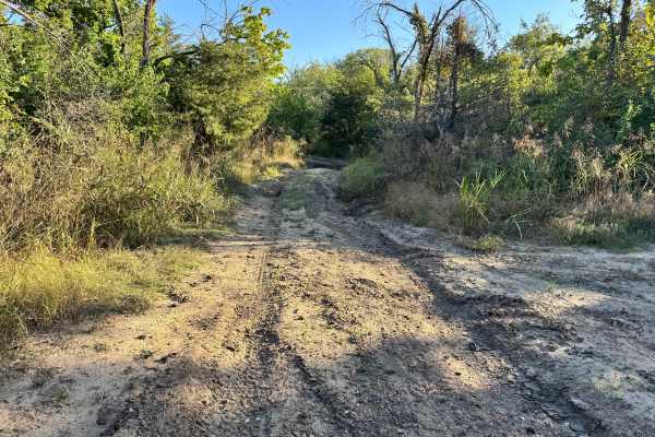
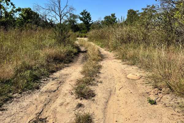
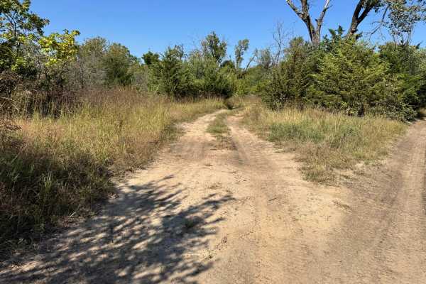
This trail gradually winds through sandy, rutted terrain before leading to a serious challenge at the very end. As shown in the photos, the path itself is relatively mild, with light mud, soft sand, and tall grass brushing against the sides of your vehicle. However, the real feature of this route is the steep descent to the Arkansas River. The final drop is extremely sharp and nearly vertical, lined with exposed roots and loose dirt. Once you commit, there’s no easy way to back out. Drivers should use extreme caution, engage low gear, and be fully prepared for a controlled, technical descent directly into the water’s edge.
Difficulty
While most of the route is manageable with moderate terrain, the final descent to the sand bar significantly increases the challenge. The nearly vertical drop, loose soil, and exposed roots require precise vehicle control, proper gearing, and confidence in steep declines. Recovery options are limited once you begin the descent, making this section unsuitable for inexperienced drivers or lightly equipped rigs. The approach may feel mild, but the technical nature and risk of the final hill demand attention and preparedness, justifying its mid-level difficulty rating.
History
This park was formerly known as Sandy Bottoms, and longtime visitors may still refer to it by that name. The access road and staging area have evolved over time, but it remains a well-known local spot for off-road events and community rides.