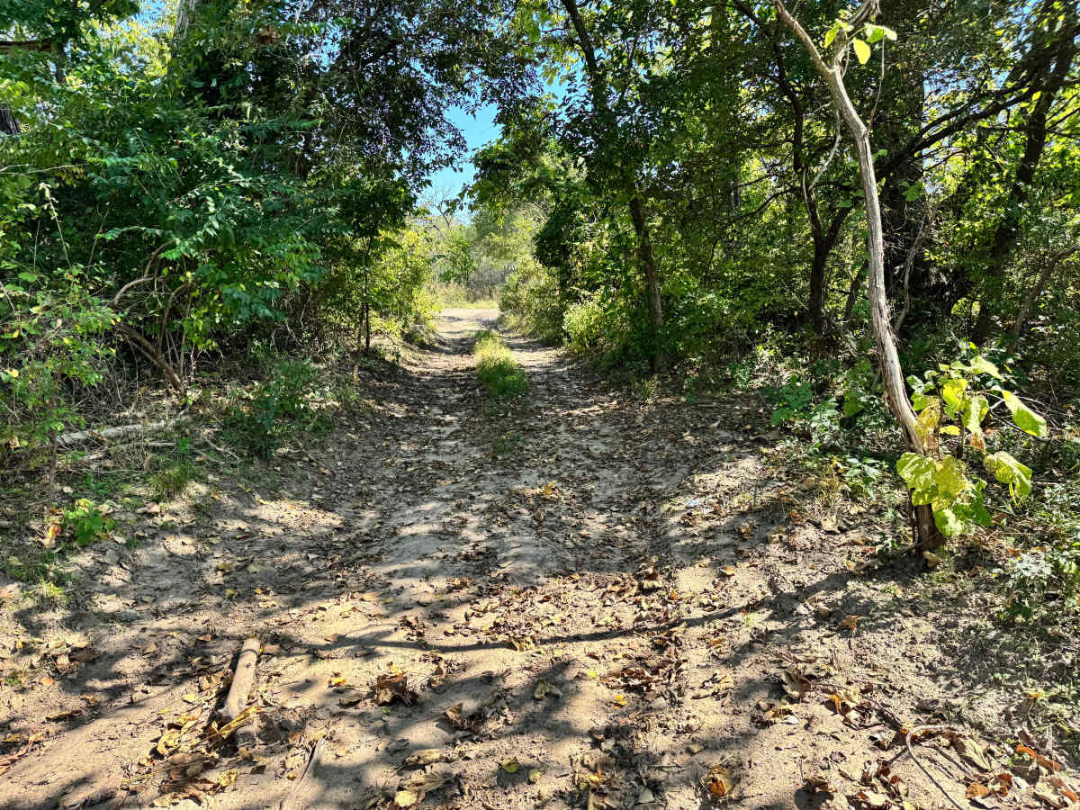
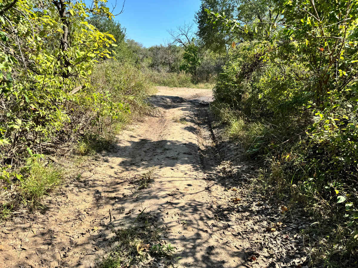
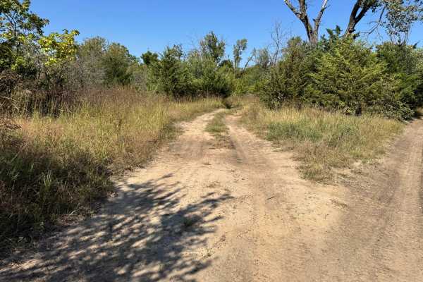
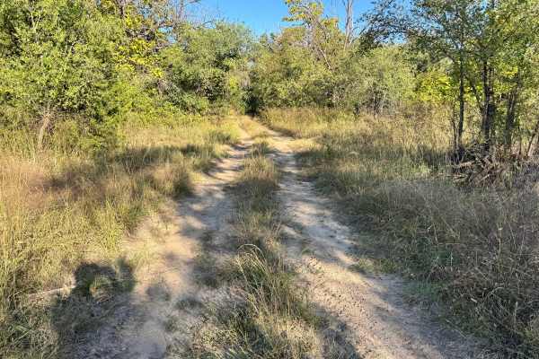
Trail Overview
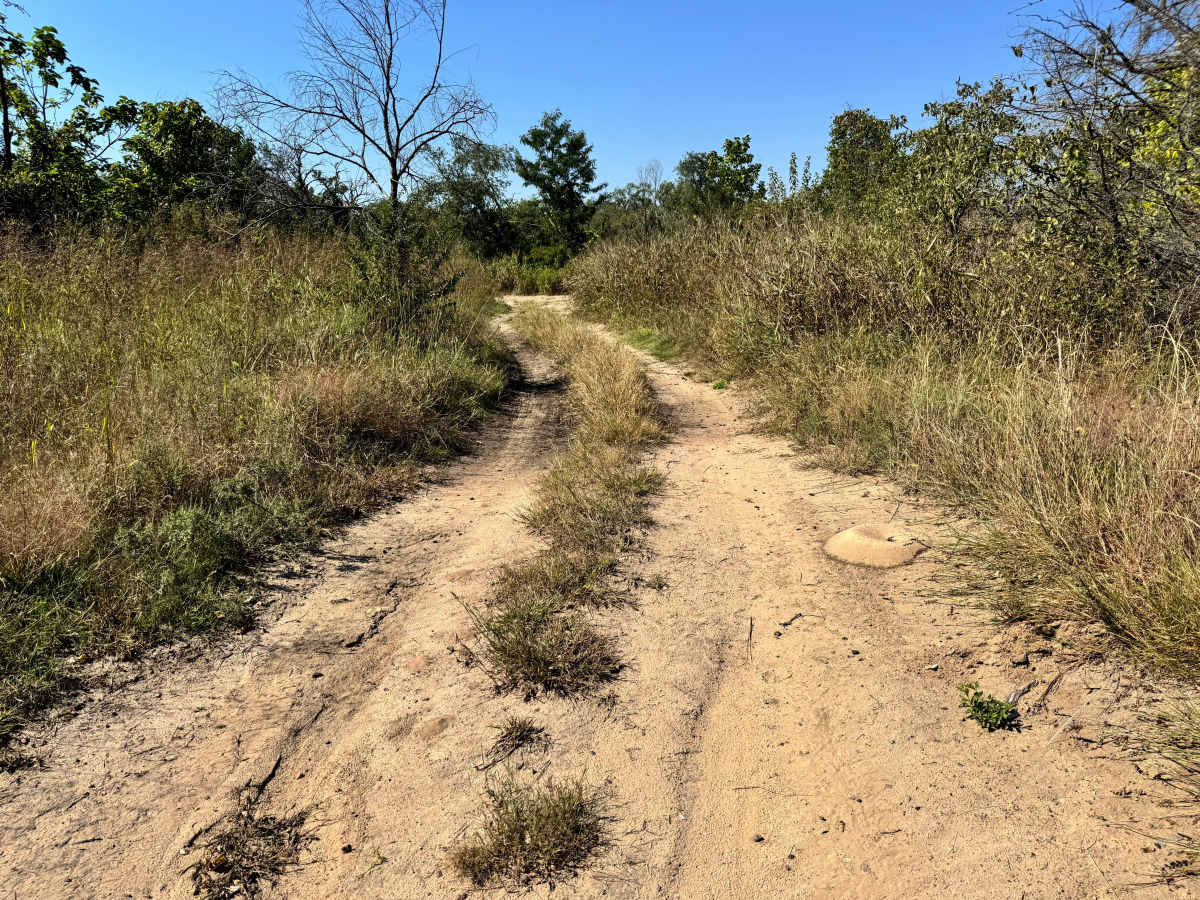
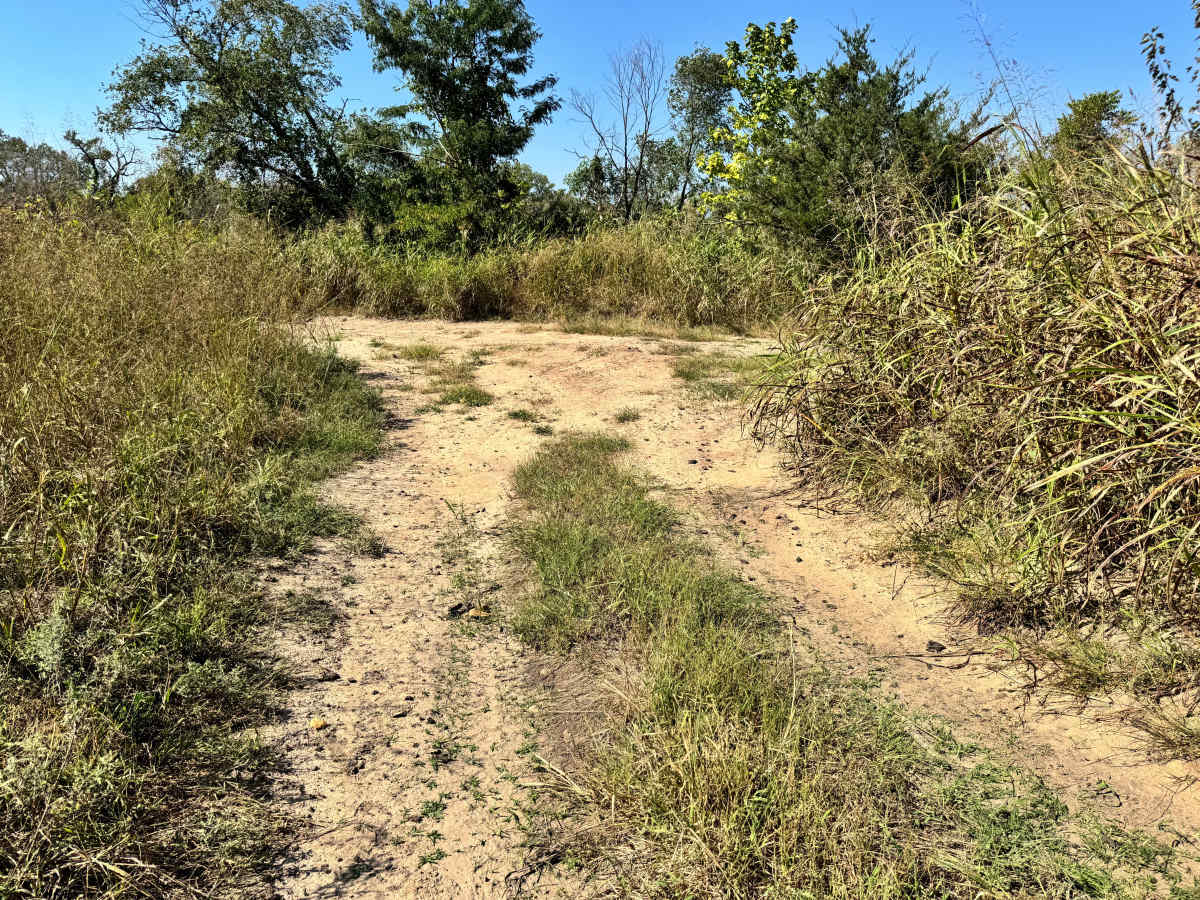
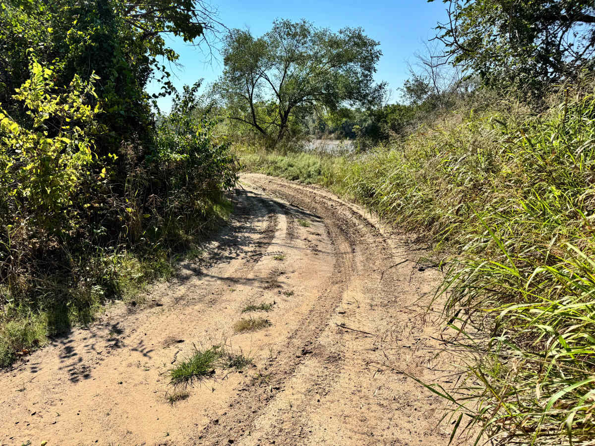
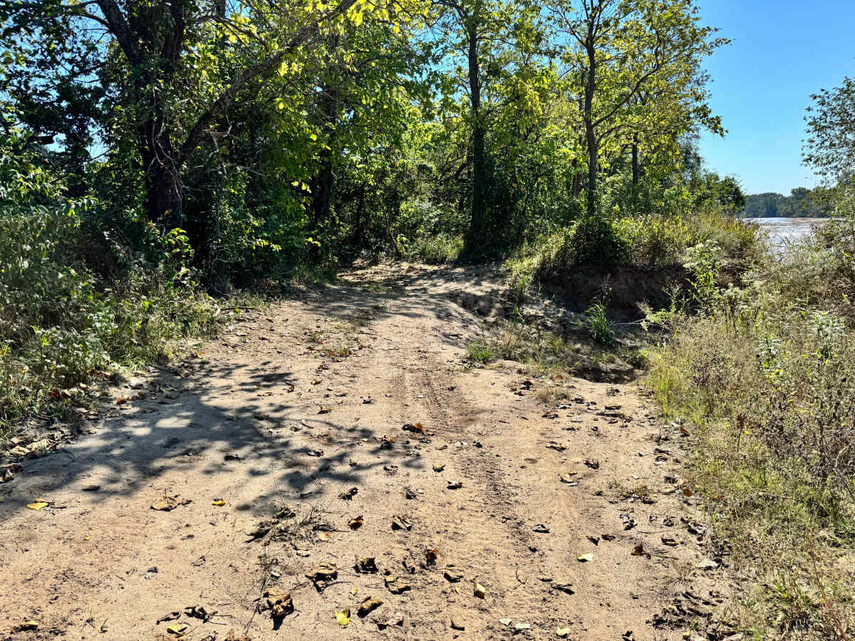
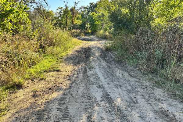
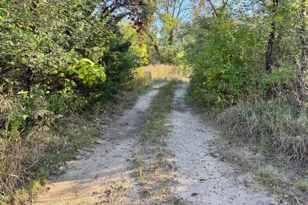
This trail is generally simple and easy to navigate, offering a smooth ride with no significant obstacles. It winds through open terrain and transitions near a section that intersects with Low Rang Shoot, leading down to the Arkansas River. As you approach this area, it’s important to pay close attention to your line, as the ground shows signs of erosion that will likely worsen over time. The hillside near this intersection can become off-camber, posing a risk of leaning or tipping if approached carelessly. While most of the trail is mild, this particular stretch requires caution and controlled driving to avoid slipping into the adjacent descent of Low Range Shoot.
Difficulty
This trail is easy overall, but requires caution near the eroded section where it connects with Low Range Shoot. While there are no major obstacles, the off-camber area could cause a lean if approached carelessly. Most vehicles will navigate it easily with proper attention.
History
This park was formerly known as Sandy Bottoms, and longtime visitors may still refer to it by that name. The access road and staging area have evolved over time, but it remains a well-known local spot for off-road events and community rides.