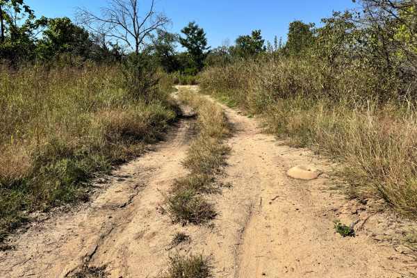
Trail Overview
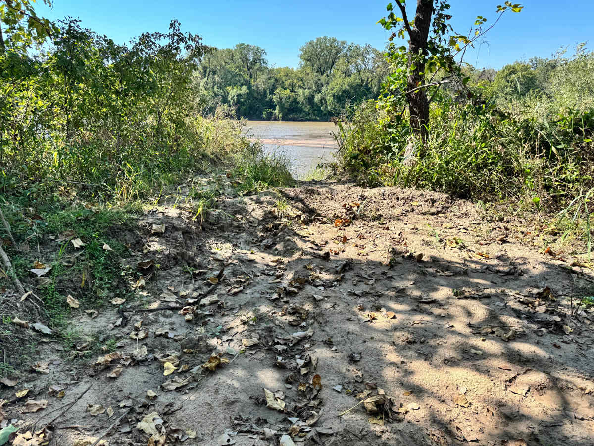
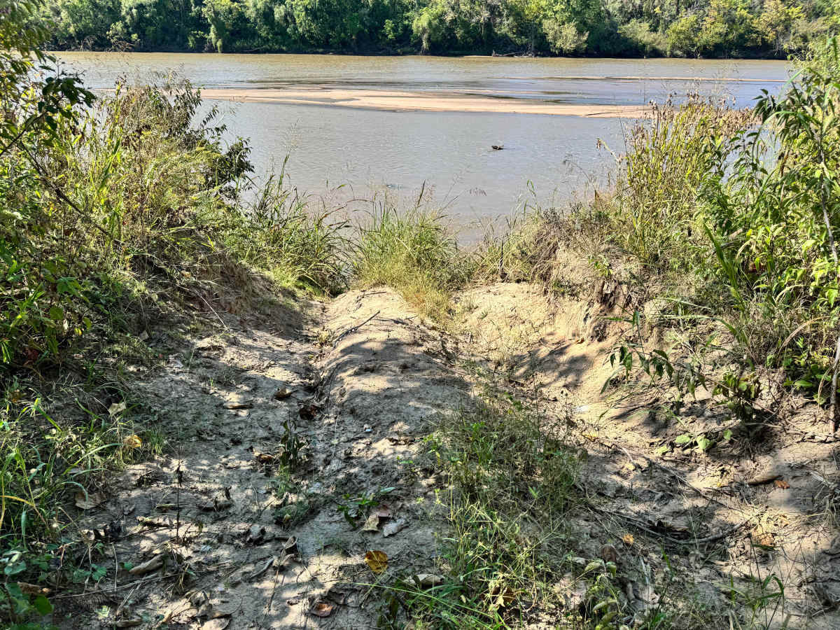
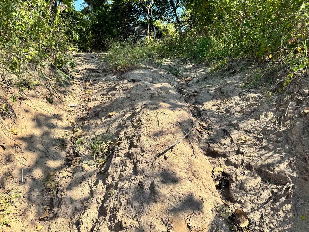
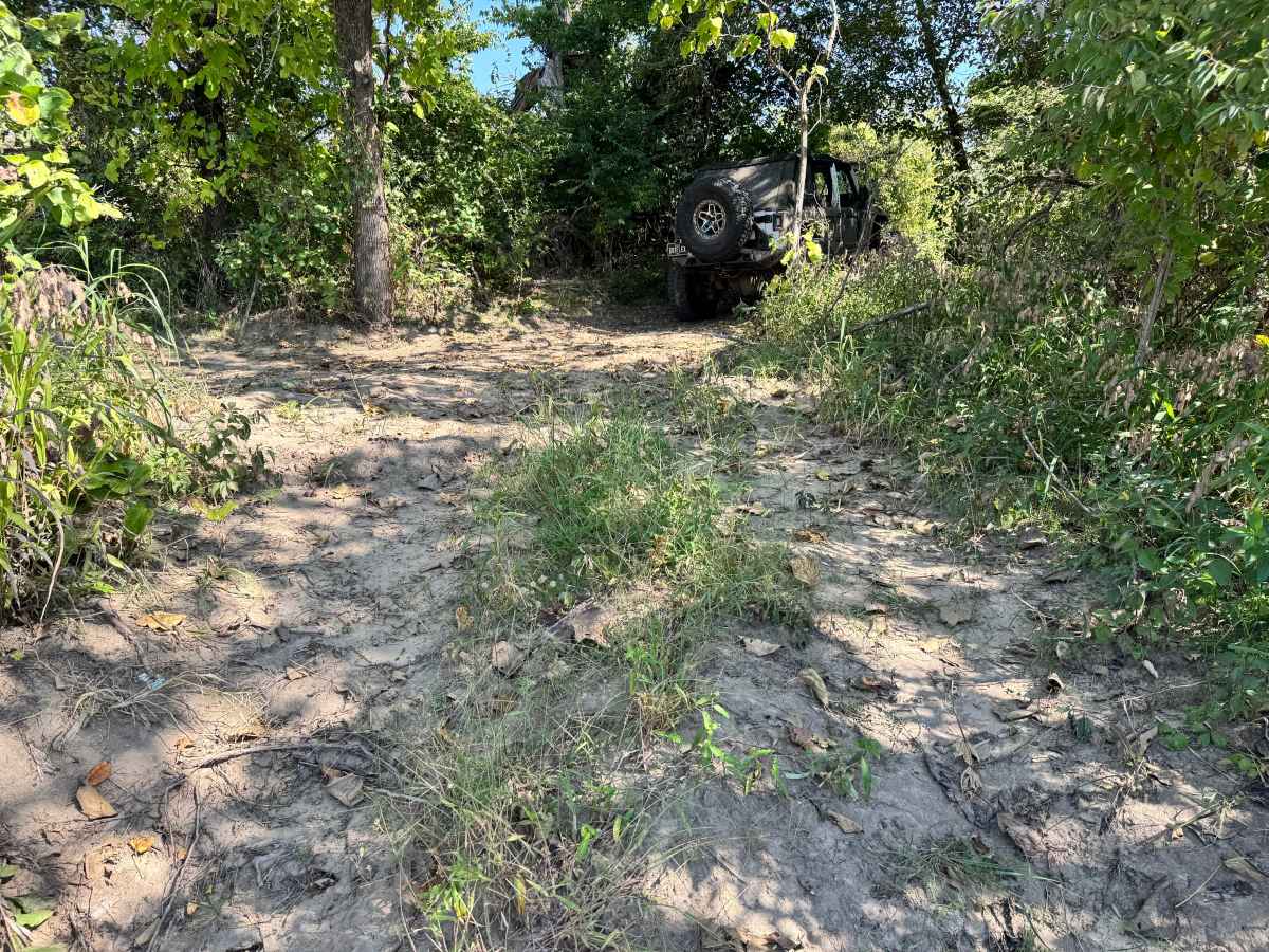
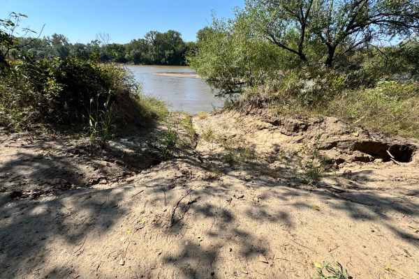
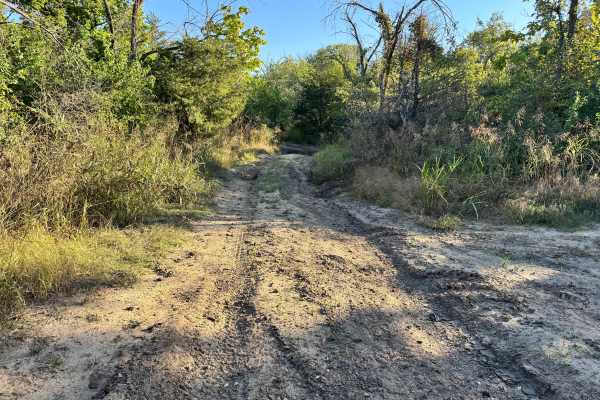
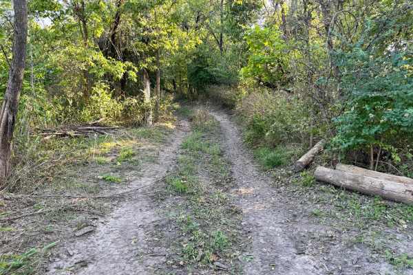
This trail is heavily worn and cuts a direct path down to the Arkansas River, making it both scenic and challenging. The descent is fairly steep and composed of loose, sandy soil, which can make traction difficult, especially for vehicles without aggressive tires and or traction additives like lockers. Drivers should be prepared for potential wheel spin and carefully manage speed and braking on the way down. At the river’s edge, conditions can change drastically based on water levels. During mapping, the water was too high to reveal the sandbar that typically appears, which is normally used for turning around or staging. This trail should be approached with caution, particularly when river levels are elevated.
Difficulty
This trail is challenging due to its steep, loose sandhill descent to the river. Traction can be difficult, and conditions worsen with high water levels that may hide the usual sandbar turnaround point. Drivers must use caution and be prepared for shifting terrain.
History
This park was formerly known as Sandy Bottoms, and longtime visitors may still refer to it by that name. The access road and staging area have evolved over time, but it remains a well-known local spot for off-road events and community rides.